-
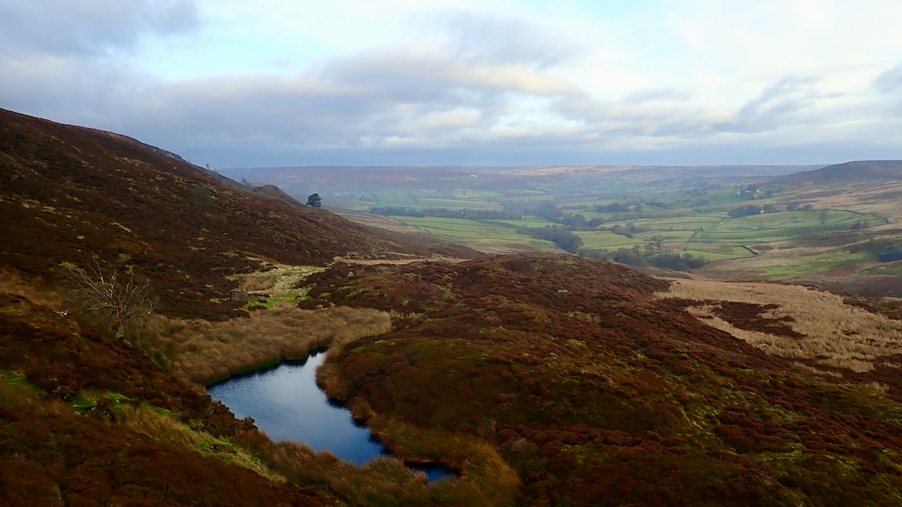
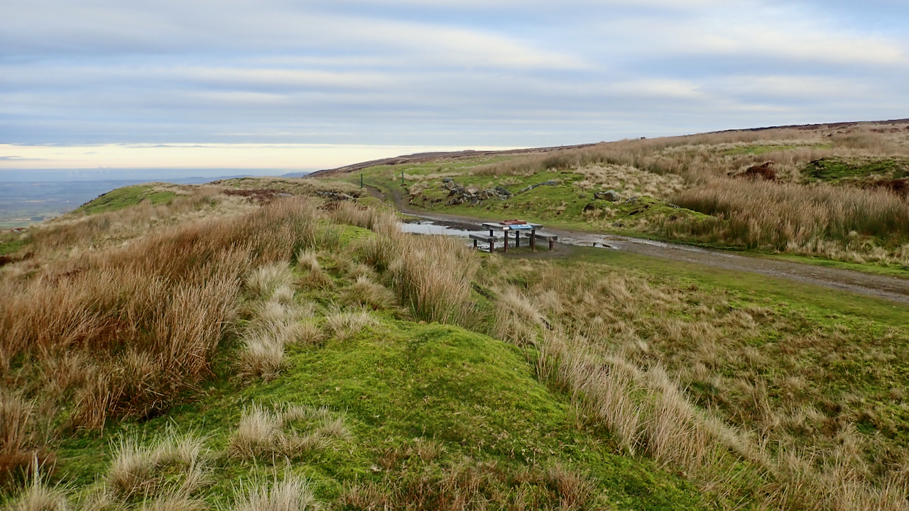
Otter Hills, Westerdale
I never know what’s the proper name for this dale. It’s the dale of Tower Beck which becomes Whyett Beck before its confluence with the River Esk which takes the name Westerdale up to the river’s source in the Esklets. Yet if you follow Tower Beck upstream to its source just below Young Ralph Cross…
-
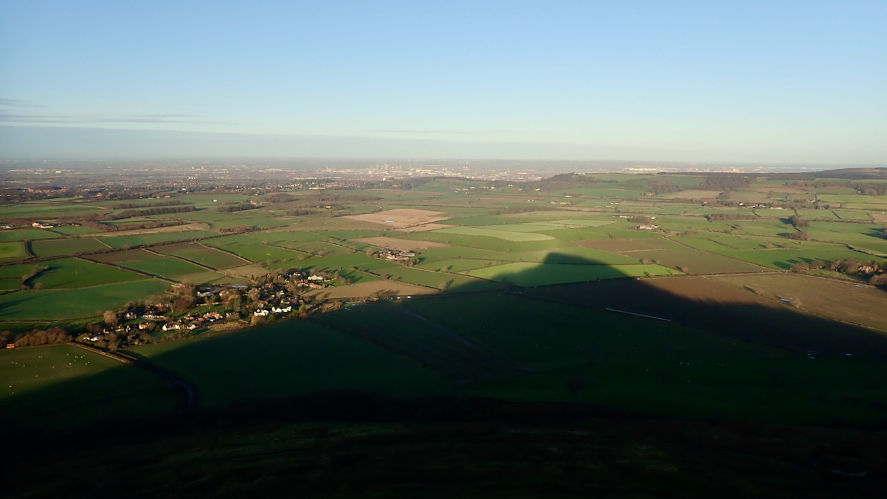
Odin’s dark side
What’s the time? Half-past Snow Hall Farm, it must be 09:32 precisely. Odin’s brother, Loki, the trickster, was considered to be the dark side of Odin, his sinister shadow. Perhaps Odin’s hill as a gnomon points to Loki, constantly shifting. And so, into December, the final month of this tumultuous year. Originally the tenth month…
-
A Modest Proposal
Warning satire alert. I came across an 18th-century essay yesterday by the Jonathon Swift, best known as the author of Gulliver’s Travels. It hails with the grand title of: A Modest Proposal For preventing the Children of Poor People From being a Burthen to Their Parents or Country, and For making them Beneficial to the…
-
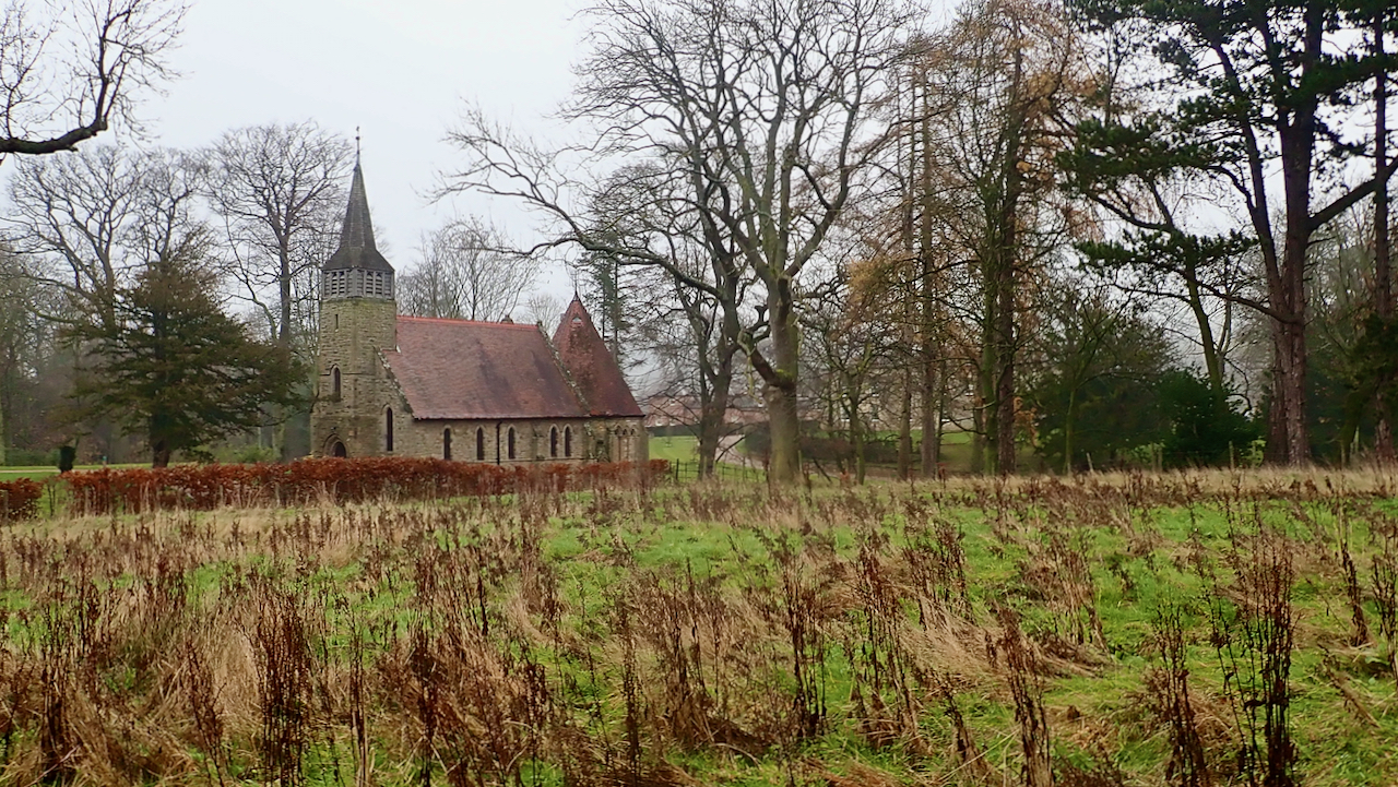
Easby Chapel
With a blanket of fog covering the northern North York Moors, today wasn’t a good day for photogenic splendour. So my thoughts turned to the lowlands. I listened last week to a lecture by a University of York professor into medieval church records who revealed that at least eleven plague cemeteries were licensed in 1349…
-
Incline Top
My morning constitutional today featured a one way run from Bank Foot to Clay Bank over Urra Moor. And to save a bit of time I used the old railway incline to ascend to the moor top. I’d forgotten how much of a slog it is. Nowadays, I am, more often than not, descending on…
-
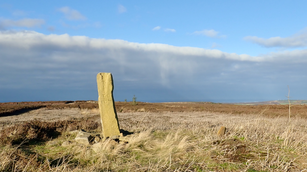
Boundary Stone, Great Ayton Moor
The sun was shining on Great Ayton Moor this morning through a skylight in the cloud. North, south, east and west, there were banks of broody grey cloud. It looked like rain was falling to the north. I am at the highest point, 318 metres above sea level. A 19th-century boundary stone tops the ‘summit’.…
-
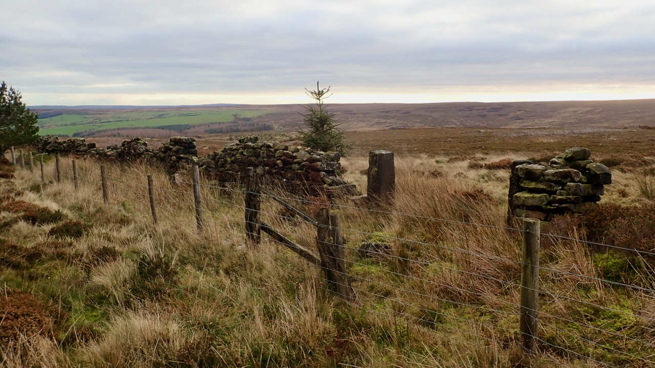
Cass Rock Gate
I thought a couple of intriguing features on the 1853 Ordnance Survey map were worth a visit, to see if there are any signs remaining. Both are still recorded on the latest online mapping but I wonder if they have been merely been carried forward without actually resurveying. The first is ‘South Stone’, deep in…
-
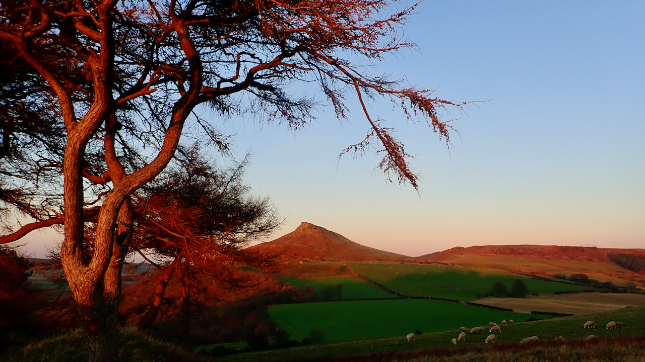
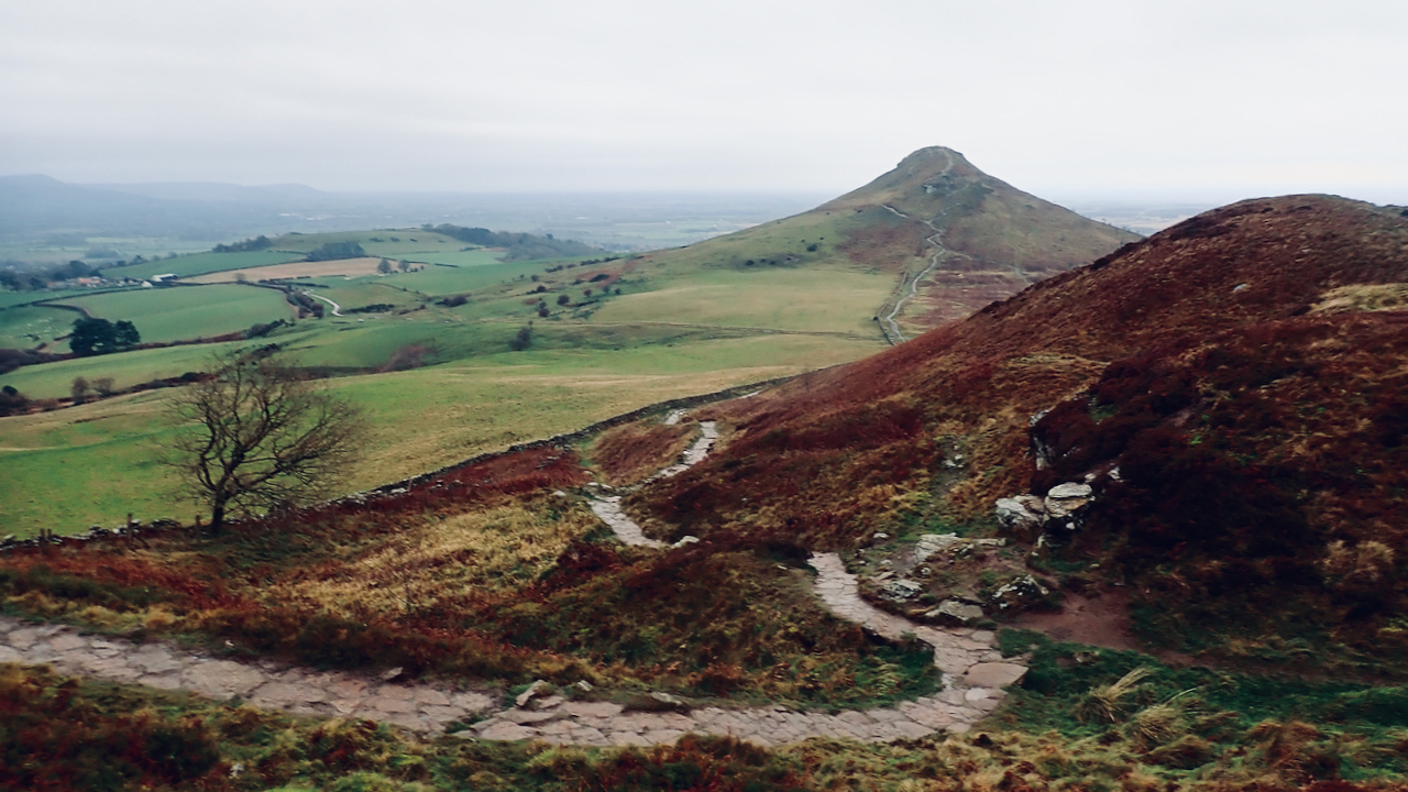
Roseberry in the Golden Hour
Headed up to Capt. Cook’s Monument for a run this morning but the day turned more brumous the higher I climbed. Then like a lot of days this November the skies cleared after lunch. The golden hour is that period of the day shortly before sunset when the sun is low in the sky and…
-
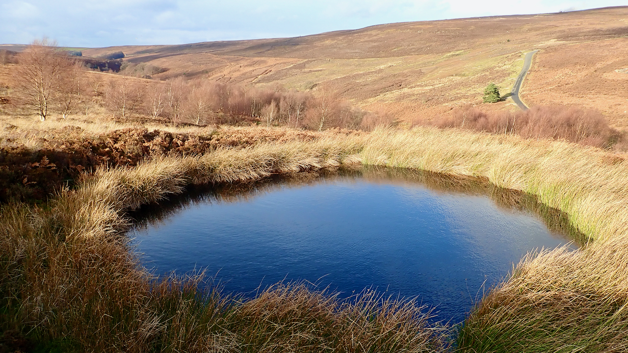
Little Hograh Moor Bomb Crater
Another trip to Little Hograh Moor, above Hob Hole in Baysdale. Honestly, I haven’t been this way for months for my third visit in a fortnight. This small pond, locally dubbed Frank’s Pond, is actually a 1942 bomb crater, according to Tom Burns Scott. A solitary bomb, jettisoned, I imagine, from a Luftwaffe bomber in…
-
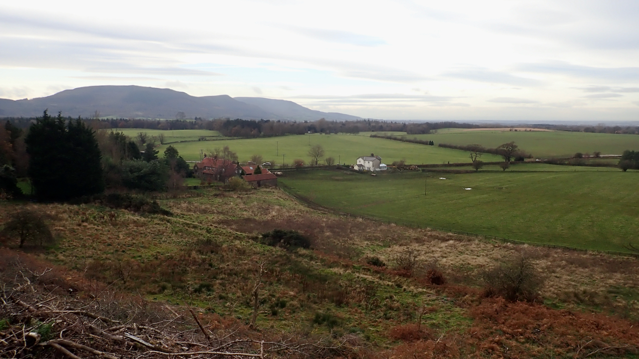
A new vista across Greenhow bottom to the Cleveland Hills
Recent felling on Ingleby Bank has opened up a new vista across Greenhow bottom to the Cleveland Hills. In the near distance are Bank Foot Farm and the old railwayman’s house formerly known as Poultry House Cottage. Poultry House Cottage has a dark history. I wrote about it here on my old site dated 18…
Care to comment?