I thought a couple of intriguing features on the 1853 Ordnance Survey map were worth a visit, to see if there are any signs remaining. Both are still recorded on the latest online mapping but I wonder if they have been merely been carried forward without actually resurveying.
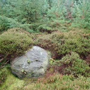
The first is ‘South Stone’, deep in the dense coniferous plantation of Guisborough Forest. I expected a boundary stone of some sort but after crawling on hands and knees beneath the interlocking branches of larch and spruce, I finally came across a small clearing with this boulder.
I guess beneath the sixty or so years of undergrowth it may be significant. Certainly, there are not many boulders hereabouts so it would have been prominent on a bleak moor.
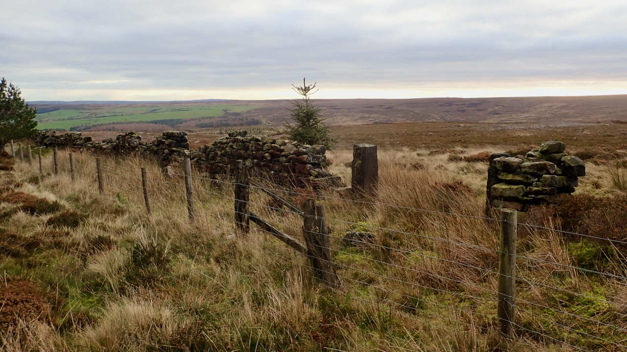
So, on, on to the next feature, ‘Cass Rock Gate’, today’s featured image. This old gateway in the dry stone wall seems to fit the bill. It was where I expected it to be.
But what, or where, was the ‘Cass Rock’?
It’s the name also given to the old alum quarry at the top of Butts Lane. Perhaps Cass Rock was an outcrop of sandstone on the edge of the escarpment.
Interestingly, on 17th December 1870, the York Herald reported that a man’s body was found “on the moor, above Cass Rock”. He was William Theaker, of Staithes and was discovered by a local farmer, William Ackroid, of Round Close, which is the farm below Westworth Plantation. This will certainly go on my to-do list to look up when the local library re-opens which has free access to the British Newspaper Archive.
Leave a Reply