-
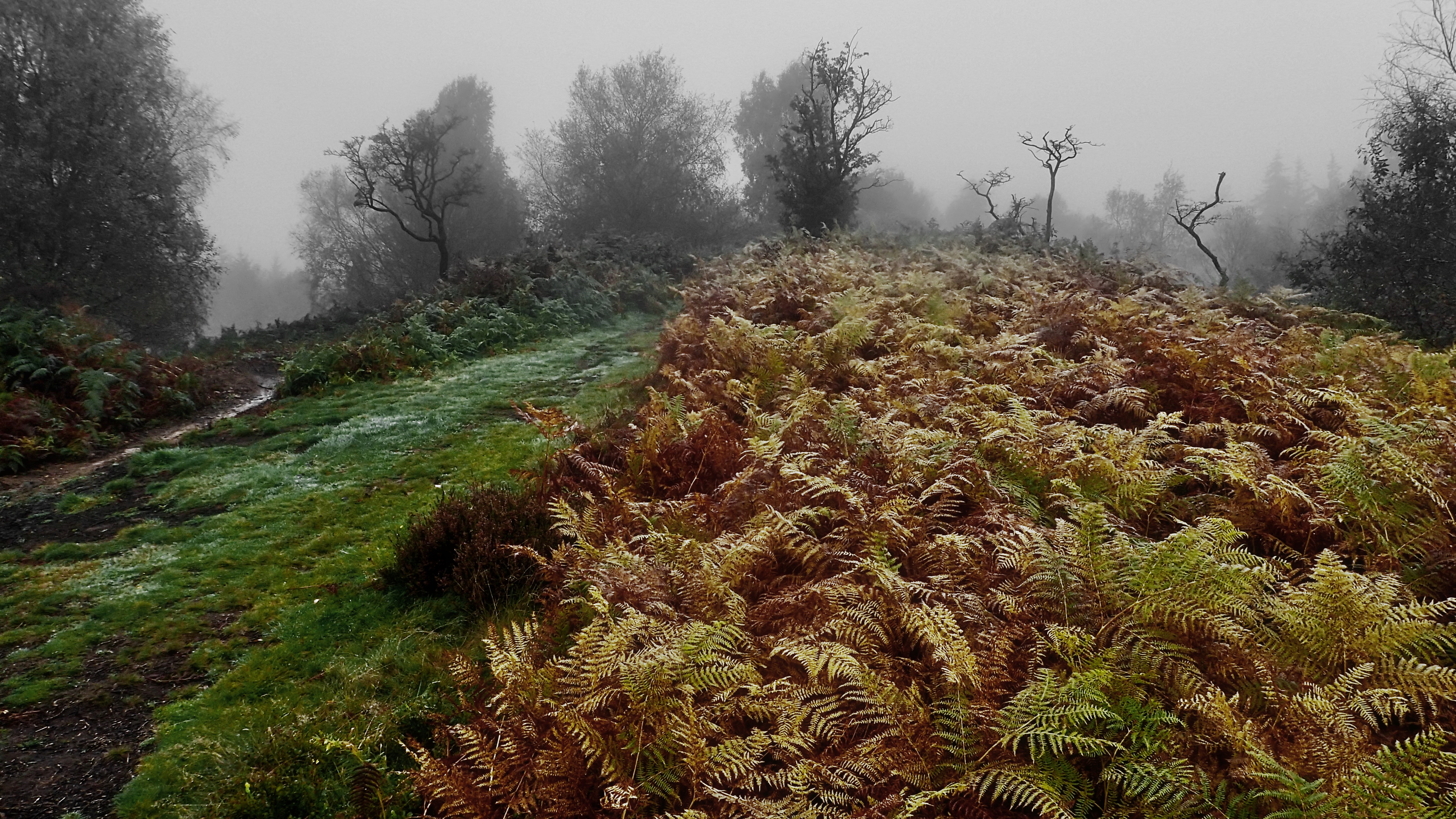
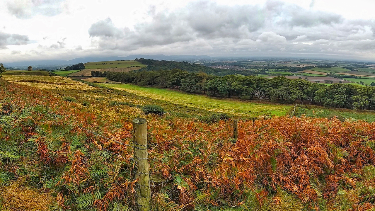
On Hood Hill
Rain before seven, Lift before eleven. So the old saying goes, but, ok the rain had stopped but the cloud still blanketted the 250m glacial outlier of Hood Hill. We climbed the hill to explore the earthworks of a medieval fortification, a motte and bailey castle. And to talk of the legends of witches…
-
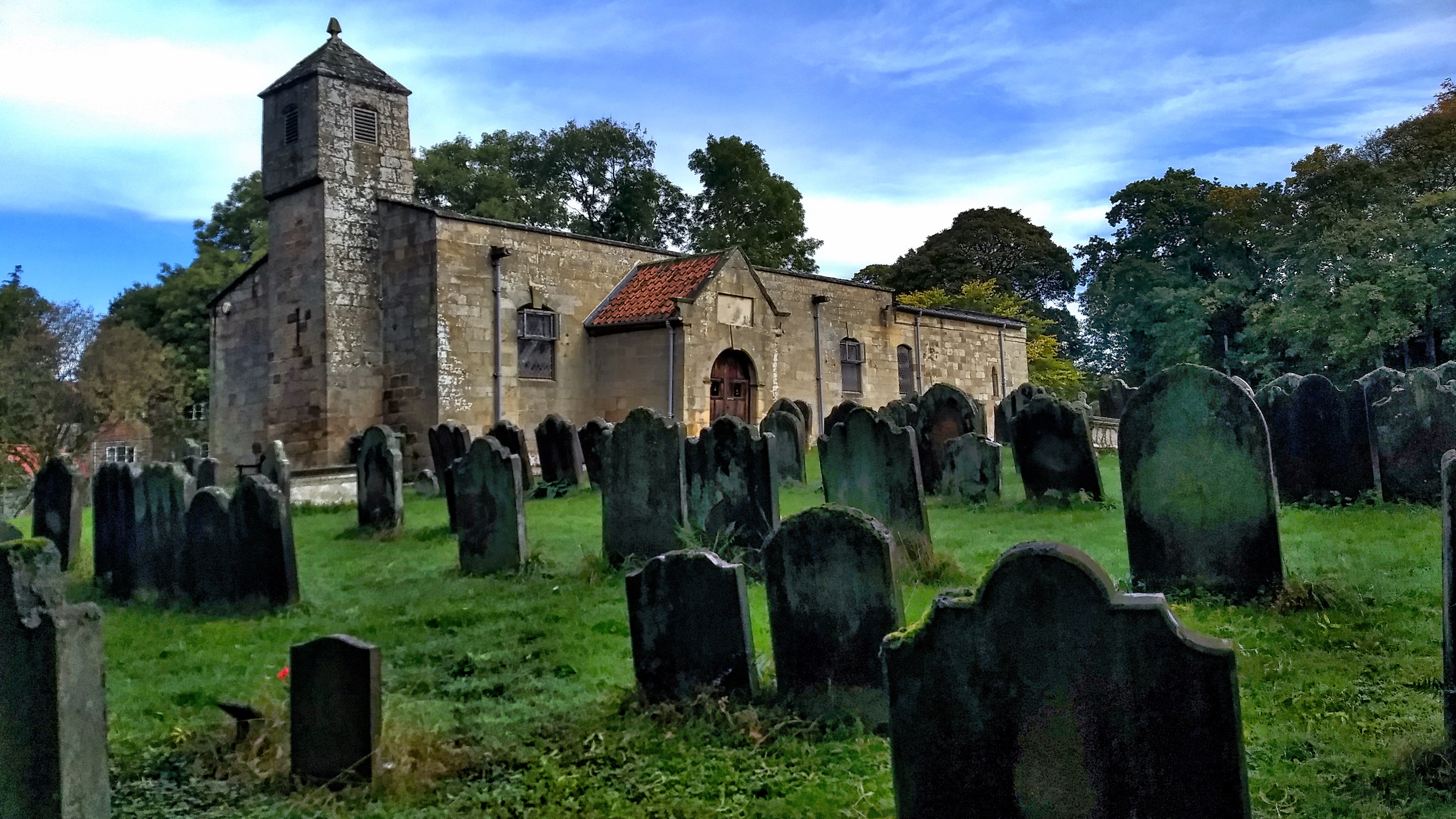
Ingleby Greenhow Church
I am not into religion but churches are usually the oldest building in a village so they have a certain fascination. St Andrew’s Church is odd-looking, low and squat with a bell tower that looks out of place. According to the inscription over the door, the church was rebuilt in 1741 but some of the…
-
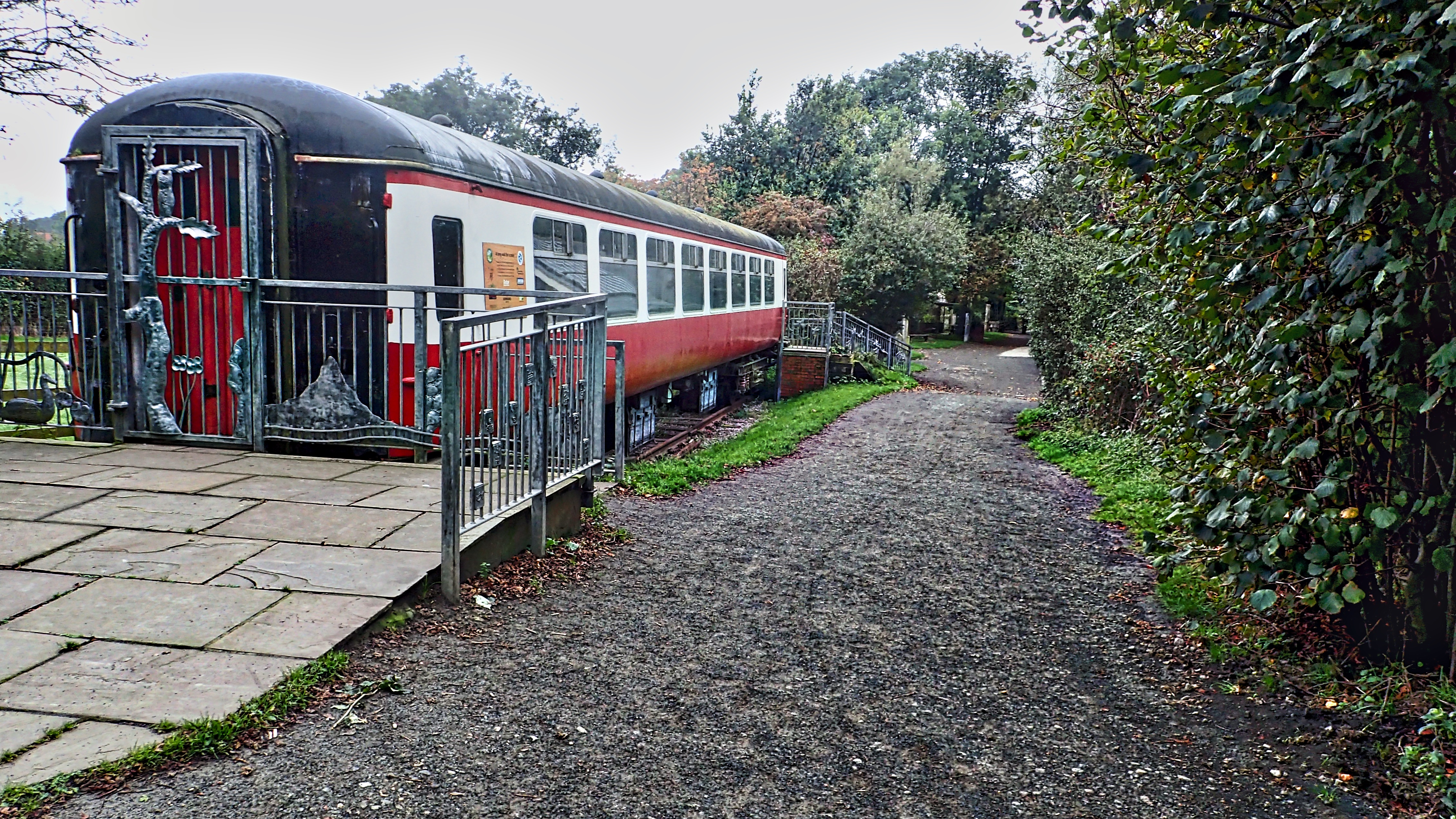
Course of the old Middlesbrough and Guisborough Railway
The Pinchinthorpe Walkway and Visitor Centre, on the route of the old Middlesbrough and Guisborough Railway. The carriage is not authentic and is a recent purchase for use as an outdoor classroom. The Middlesbrough and Guisborough Railway was built in 1853 to serve the ironstone mines at Codhill owned by Joseph Whitwell Pease, a leading…
-
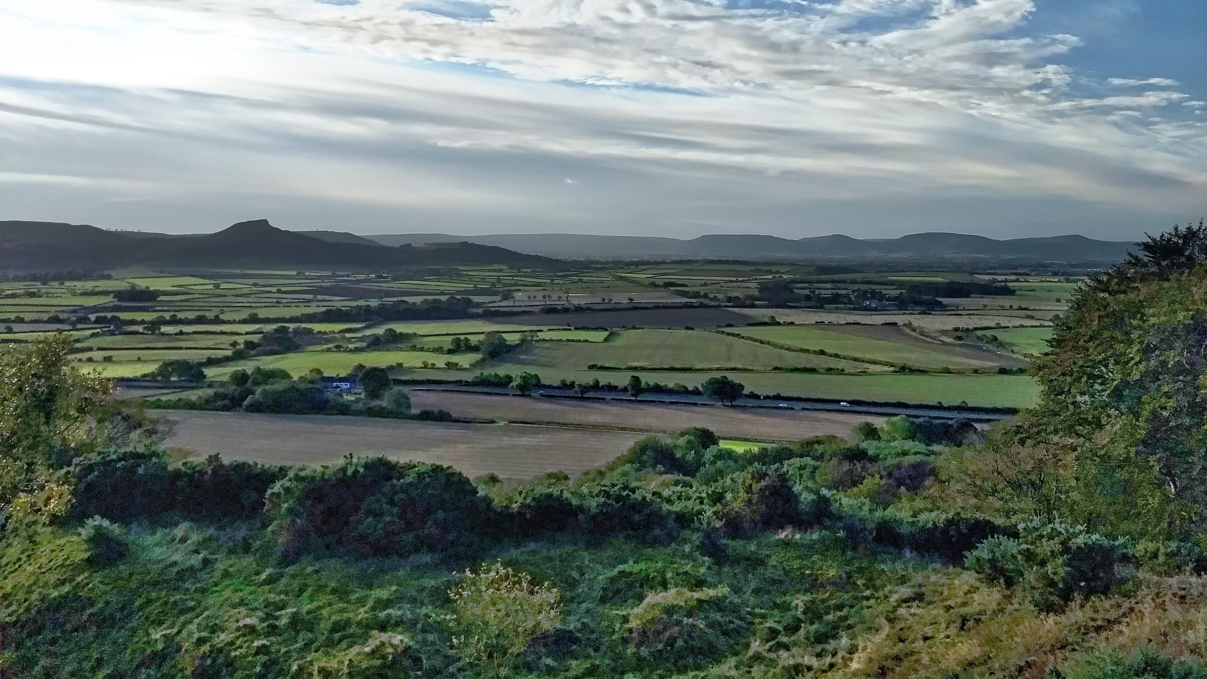
The Carrs
An uncommon view of Roseberry across the flatlands of Moreton Carr and Upsall Carr but one that would be easily recognised by commuters on the A171 Guisborough By-Pass. The ‘Carr’ element of these names comes from the Old Scandanavian word kjarr meaning a marshy area, giving an insight into the terrain in medieval Cleveland. Open…
-
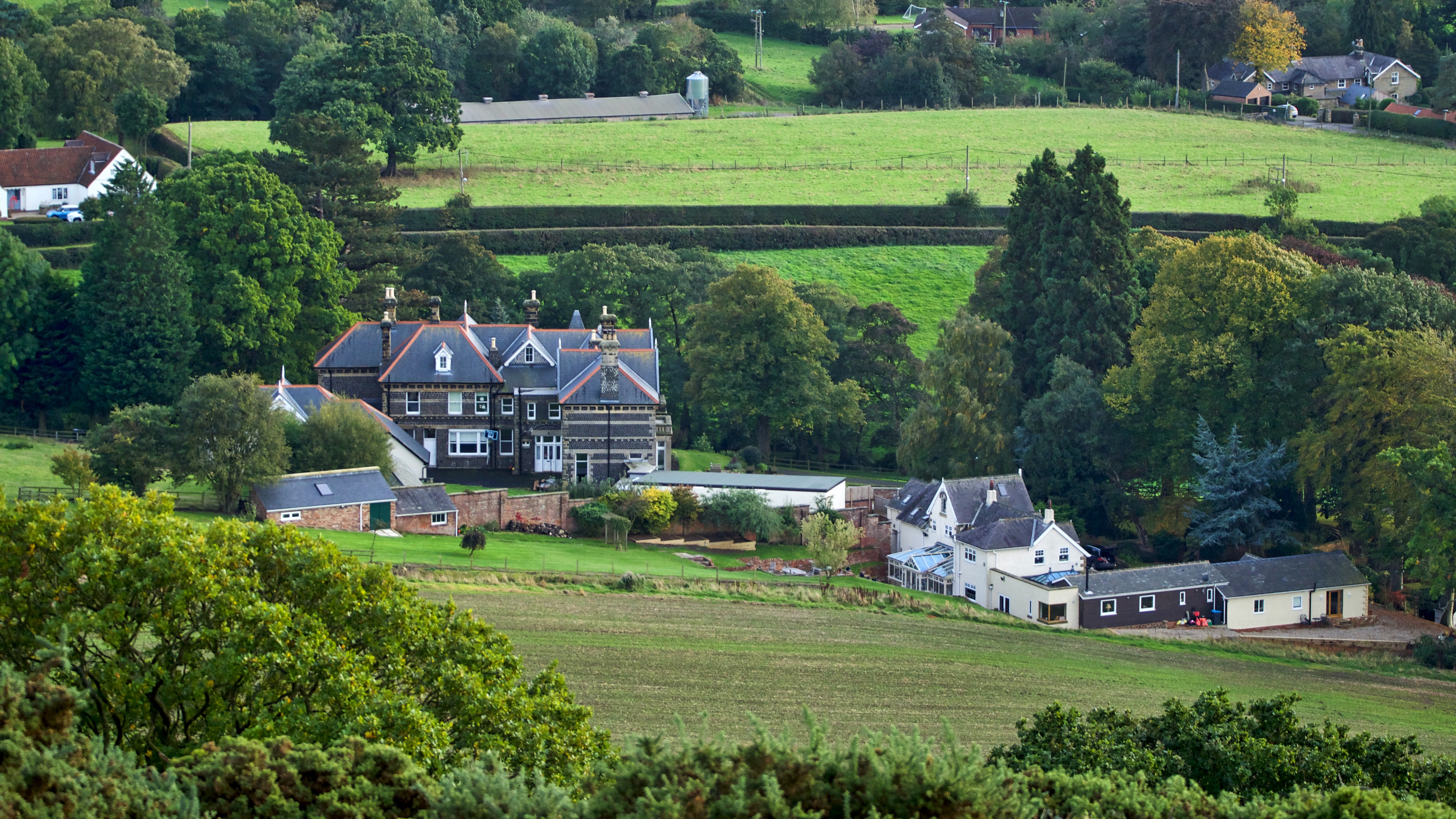
Undercliffe Hall
I have posted many times about the whinstone quarry at Cliff Rigg near Great Ayton. It was a major industry for the village. The whinstone was an extremely hard basalt rock and used mainly for road surfacing. It could be knapped into setts and it was frequently said that the streets of Leeds were cobbled…
-
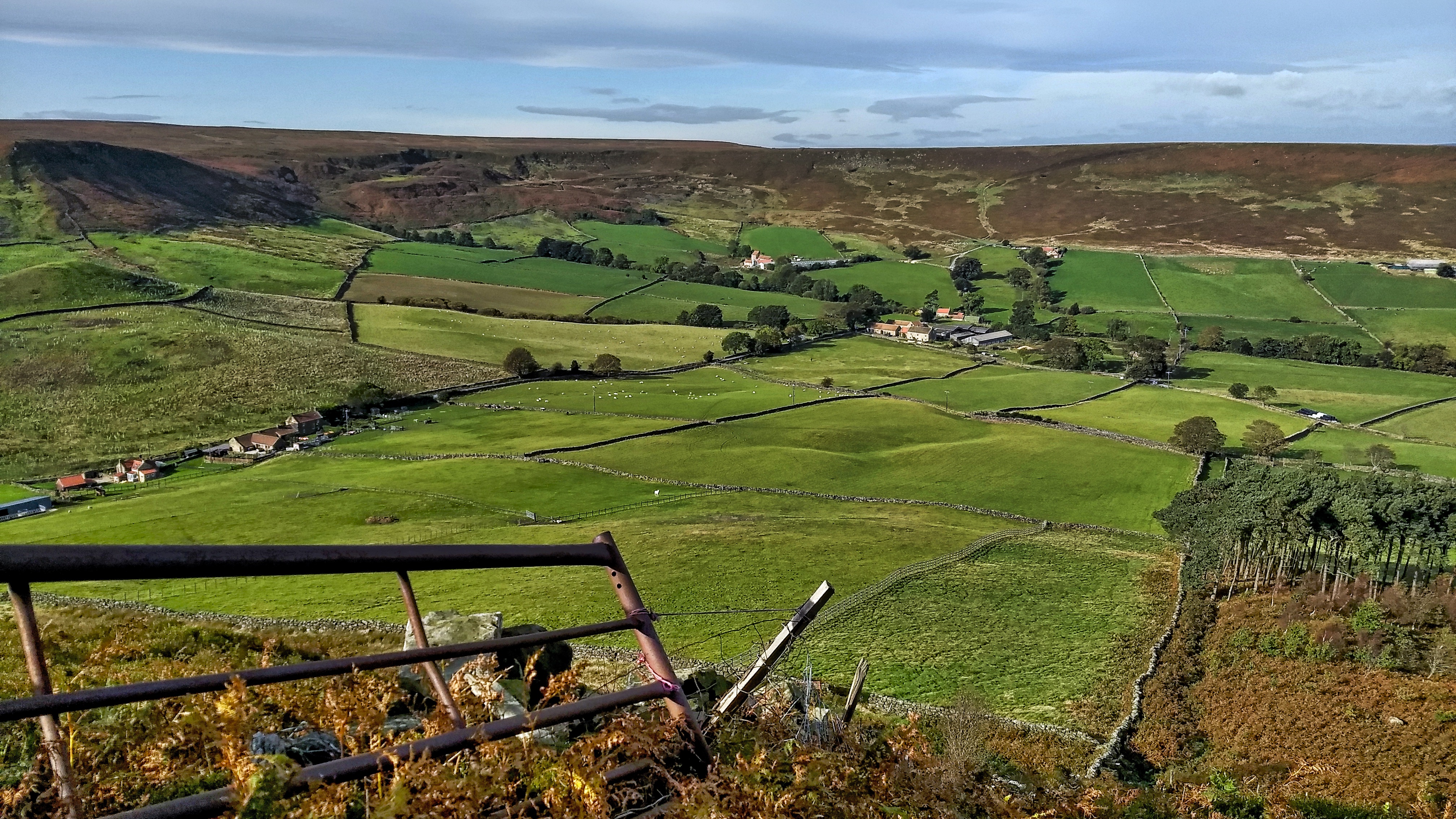
Little Fryup Dale
It’s been a few months since I’ve been up on the Heads, that elongated hill separating the two Fryup Dales. This is the head of the smaller dale. The buildings on the far left are named on the map as Fairy Cross Plain. There are two cottages, one is relatively modern but the other has…
-
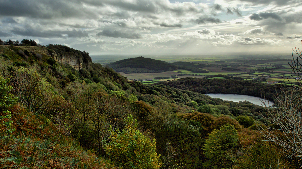
Whitestone Cliff and Gormire Lake
Looking down onto Lake Gormire near Sutton Bank. A place of myth and legend. In the distance is the elongated Jurassic outlier, Hood Hill with where Druids were said to have made sacrifices. Some say Lake Gormire was made when an earthquake swallowed up a whole town. The roofs of the houses and chimneys can…
-
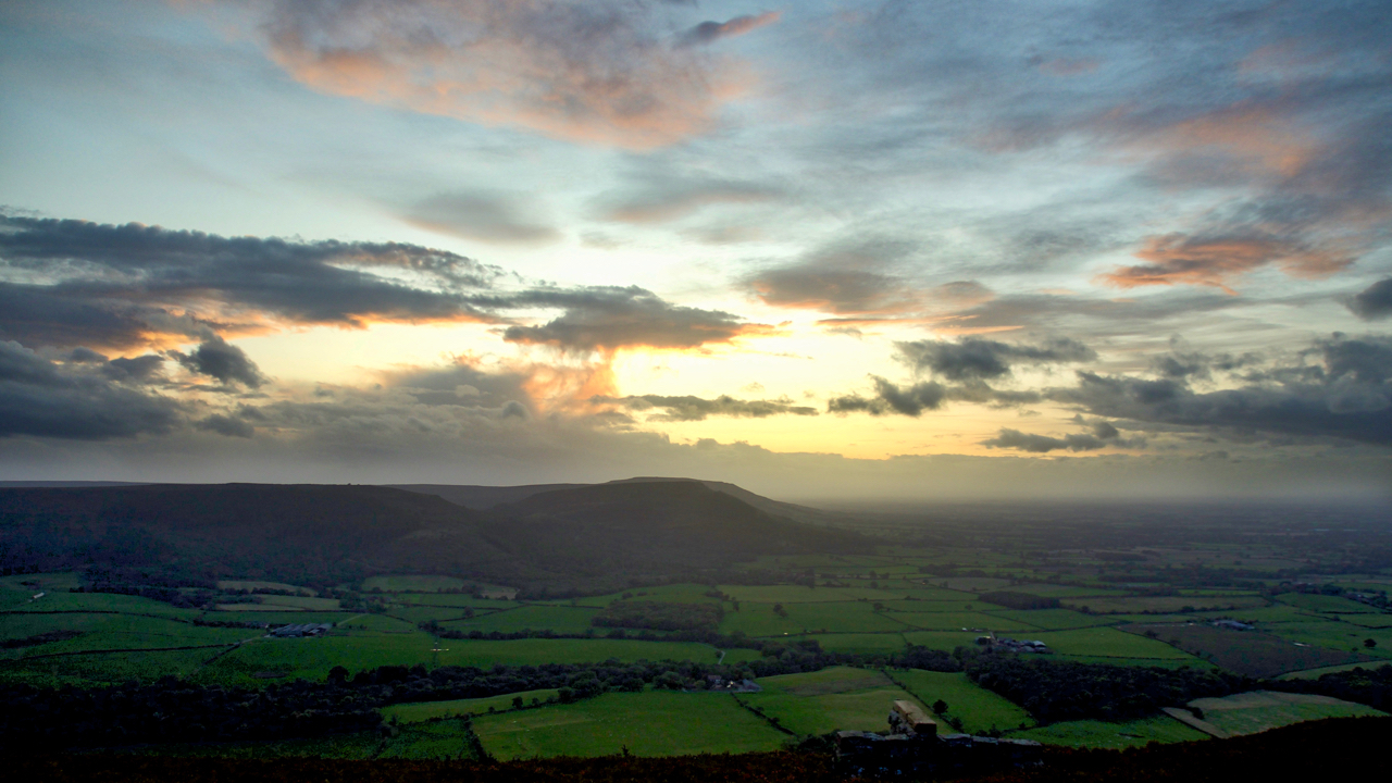
The Cleveland Hills
Up onto Greenhow Bank to catch the sunset only to find it fizzled out when the sun dropped behind a low bank of cloud. But still enough light reflecting off higher-level clouds. A view to the Cleveland Hills across the fields of Greenhow Botton. Open Space Web-Map builder Code
-
Cliff Rigg and Newton Wood
Explored a long-forgotten section of a Public Bridleway up Roseberry Topping that has recently been cleared of bracken. It’s just a wild guess but to me, the route points to an early tourist route up to the summit. I’ve posted about this before. It starts in Newton and goes up Roseberry Lane (or Wood Land…
-
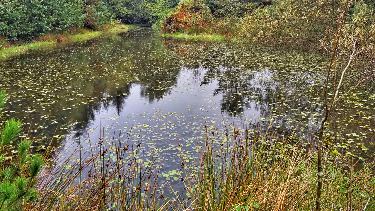
Pond, Sneaton Forest
The first time I orienteered in Sneaton the map was called Maybeck, the spruce trees were impenetrable and any excursion was a hands and knees job along one of the many ditches. Planted in the 1960s the forest is a commercial forest typical of the North York Moors. Today, 40 years later, the trees have…
Care to comment?