Tag: moor
-
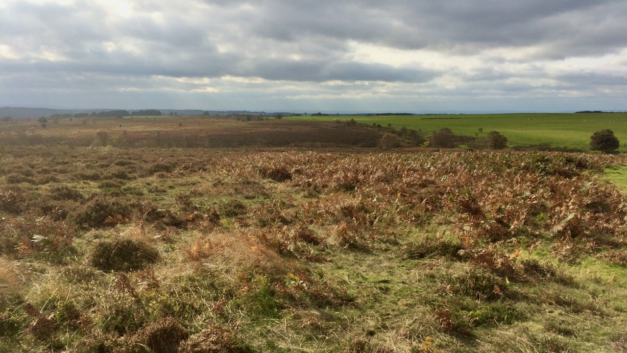
Grime Moor
On rather dull overcast day with the National Trust on their Bridestones property. Quite a windy day and, for a fleeting moment, the sun came out. To the west of the small secluded valley Dovedale Griff, which was once known locally as the ‘Doodle‘, is what remains of Grime Moor. The effect of the ploughing…
-
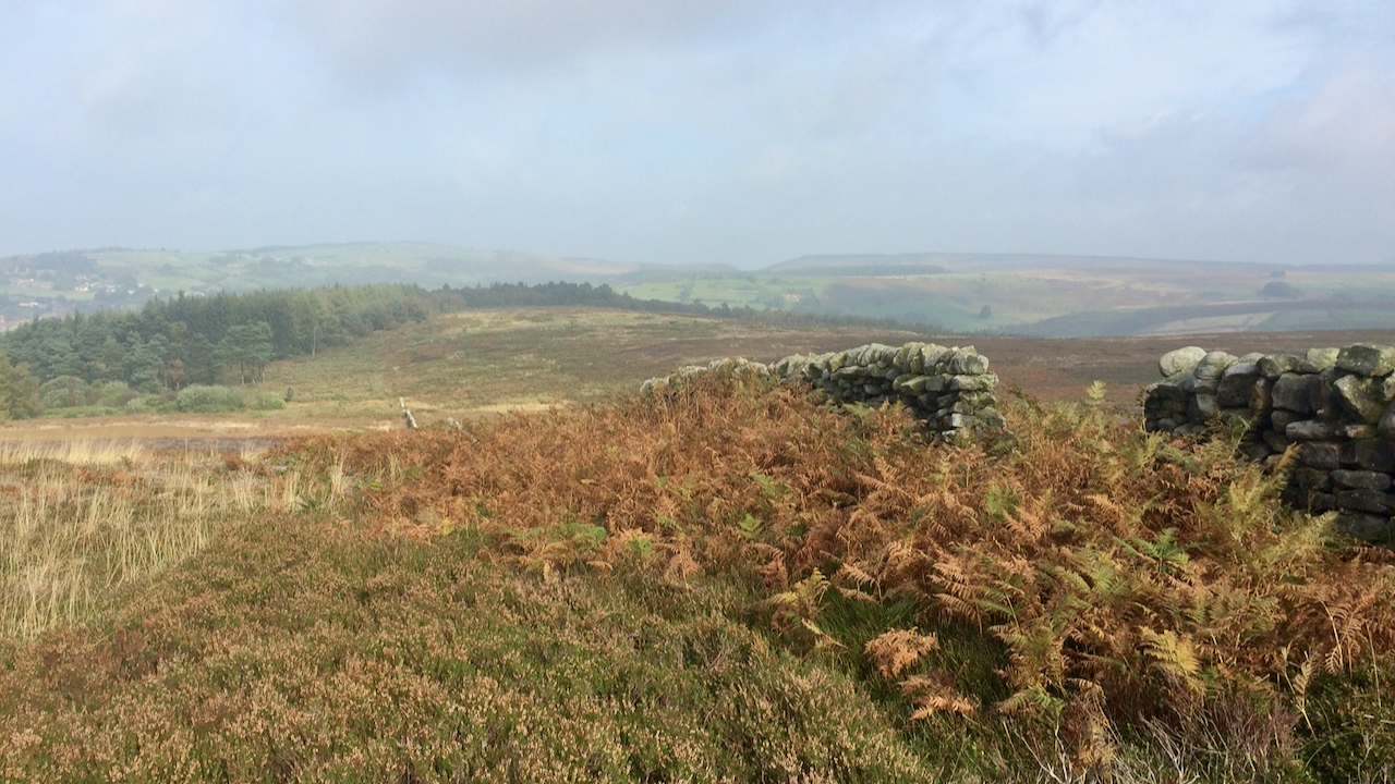
Thimbleby Moor
Finally, two hours after leaving Osmotherley, a view of distant scenery. I had seen nothing except the forested Thimbleby Bank and clag — cloud or mist, however you want to call it. With Osmotherley opening out before me, I was left with no doubt this was the Thimbleby Estate, for every path junction, every decision…
-
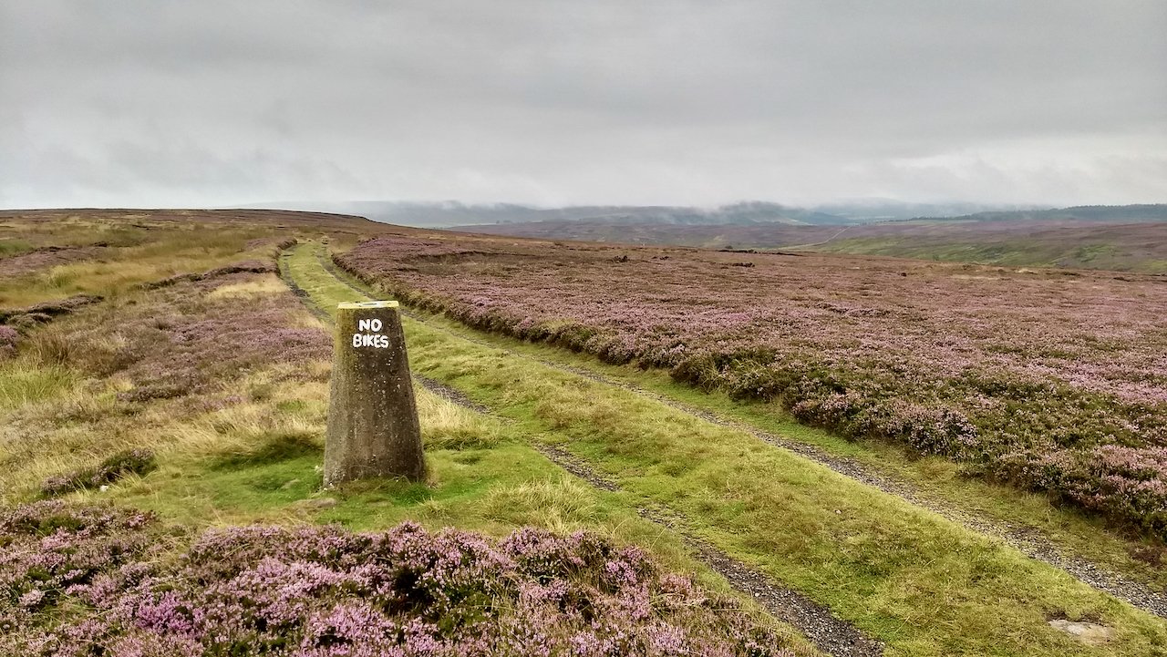
G’boro Moor Trig. Point
Today, 17 August, marks the 250th anniversary of the first recorded ascent of Ben Nevis, by Edinburgh botanist James Robertson. I think. I say that because Wikipedia says it’s the 19th. Now, I can’t remember from where I acquired that snippet of information but the Nevis Landscape Partnership website says it’s the 17th, so that’s…
-
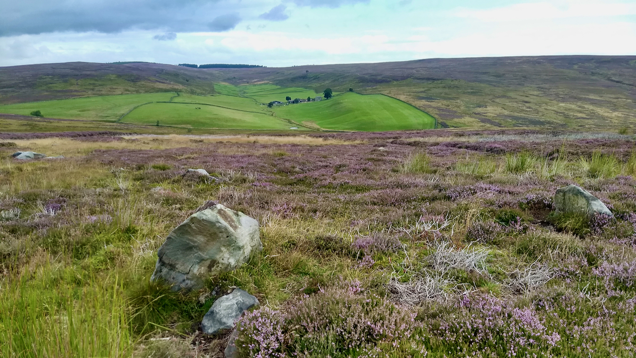
Insular vert in a sea of purple
When Sleddale, ‘a wide, flat valley’, tributary of the River Esk, was donated to Gisborough Priory by a group of freemen it was referred to as ‘meadow’. Now whether anyone actually lived up here at that time or whether it was part of the Priory’s many Commondale granges is unknown. After the dissolution, it was…
-
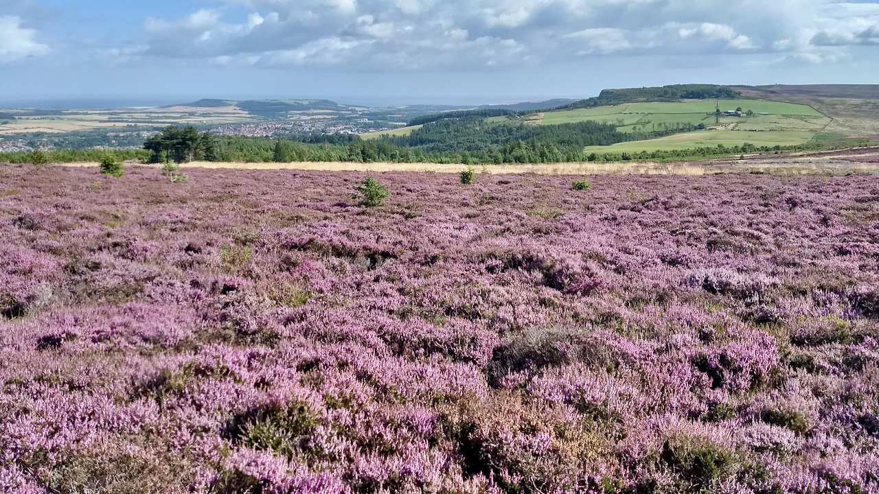
Today is not a good day if you’re paraskevidekatriaphobic
I dunno, you go away for a few days, and the moors are transformed. The ling has finally come good. (Although it must be said, Hutton Moor is not heavily managed, the spruce saplings give it away that it’s been a few years since this moor has been burnt.) But today is not a good…
-
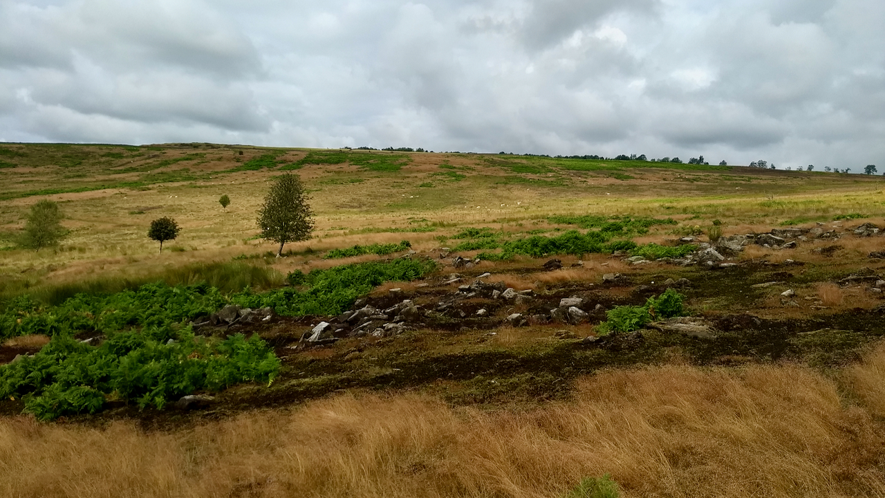
Scarth Wood Moor – a Neolithic village?
I’ve run across Scarth Wood Moor near Osmotherley many times in orienteering races but I can’t honestly remember encountering this boulder field. This is not surprising as, looking back at the 2019 map, I see nothing on the orienteering map, any exposed boulders were not considered significant enough to have been mapped. The boulders have…
-
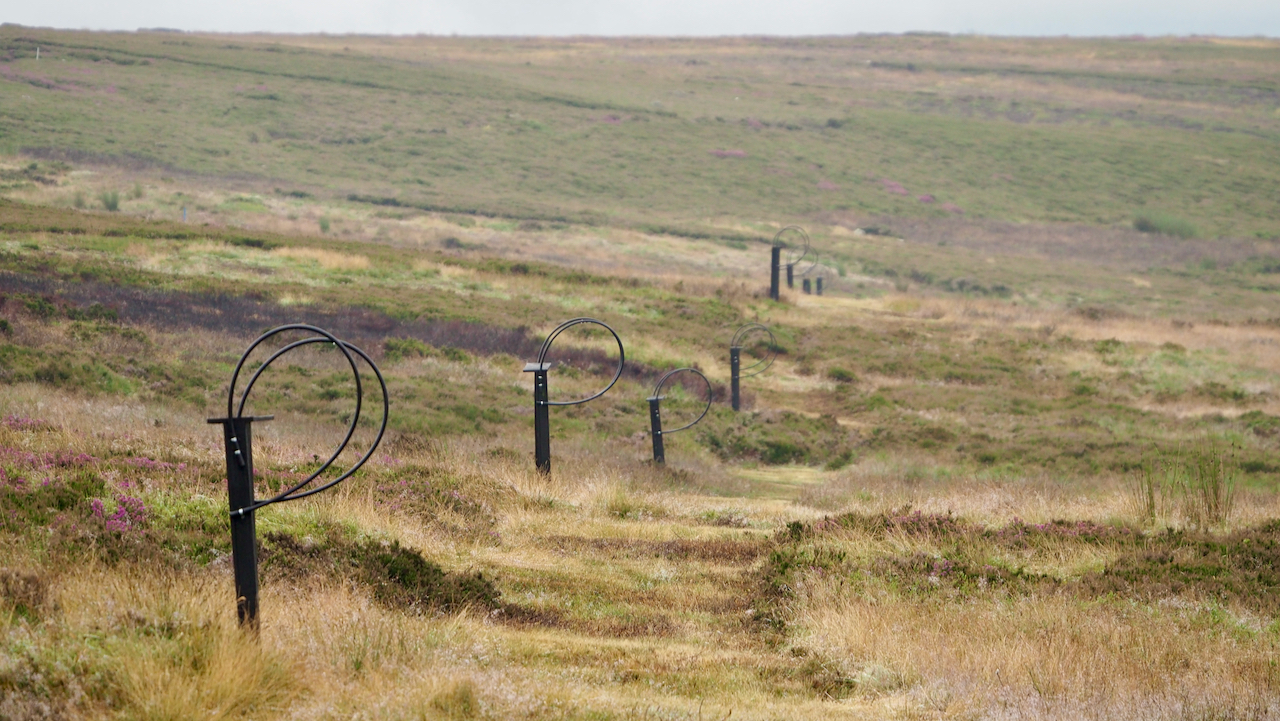
The Butts, Codhill Heights
A modern take on the lines of shooting butts that typically cross the heather moors of North Yorkshire. Butts awaiting their clients while lines of workers chase the grouse over their heads on the Glorious Twelfth. Although they have a bit of a wait; I’ve heard the grouse numbers are down this year. These butts…
-
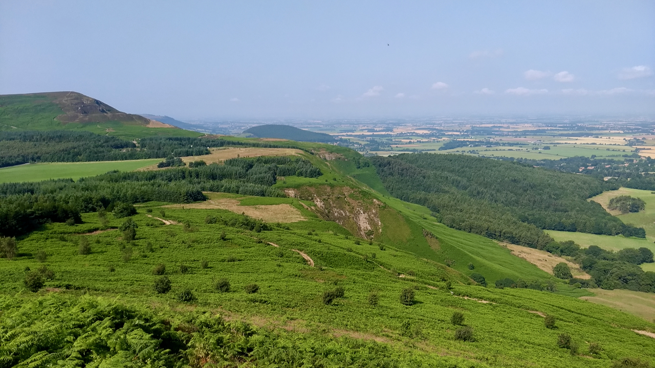
Lordstones Country Park from Cringley End, the north-west nose of Cringle Moor
This privately owned park occupies the long flat col between Cringle Moor and Carlton Moor. Development began in 1986 with a “car park with public toilet and refreshment facilities together with accommodation for agricultural equipment”. I remember it being highly controversial at the time but was mitigated by the café being discretely hidden under a…
-
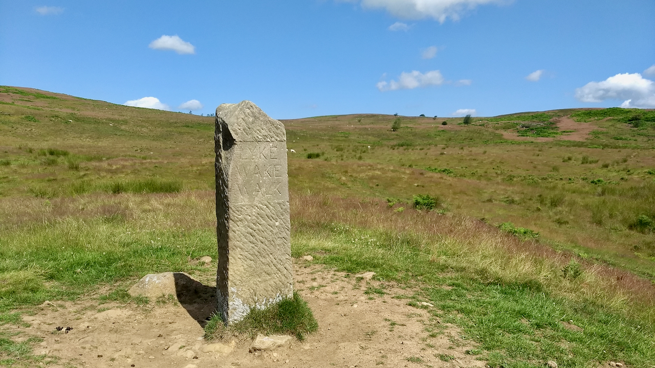
Start of the Lyke Wake Walk
Or is it the finish? A 40 forty mile walk across the highest parts of the North York Moors, with most people tending to start here and finish at Ravenscar on the coast. Since its inception in 1955, the idea of the late Bill Cowley, the walk rapidly gained in popularity during the 60s/70s; in…
-
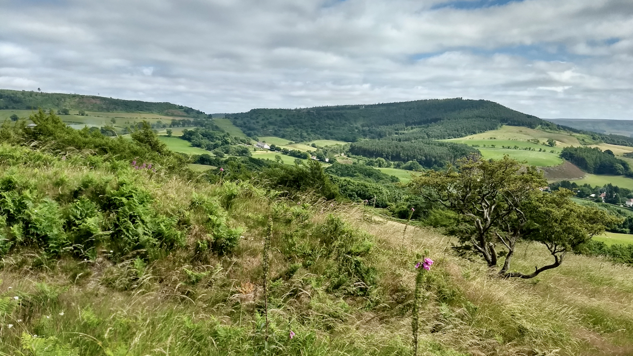
Gribdale and Easby Moor from Cliff Rigg
St Swithin’s day if thou dost rain’ For forty days it will remain; St Swithin’s day if thou be fair, For forty days will rain na mair. So goes the well-known rhyme, and as it’s St Swithin’s day, and as it’s been a lovely dry day, a summer of sunshine awaits us. It all began…