Tag: Iron Age
-
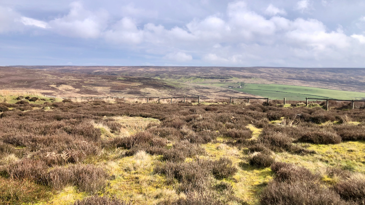
Percy Cross Rigg’s Hut Circles
I thought I would take a re-look at the Percy Rigg Iron Age hut circles. It has been quite some time. Alas, the perimeter fence lies in disrepair, casting a pall of melancholy over the entire site. Located on the Percy Cross Rigg, just 460 metres down from the remains of the medieval cross, this…
-
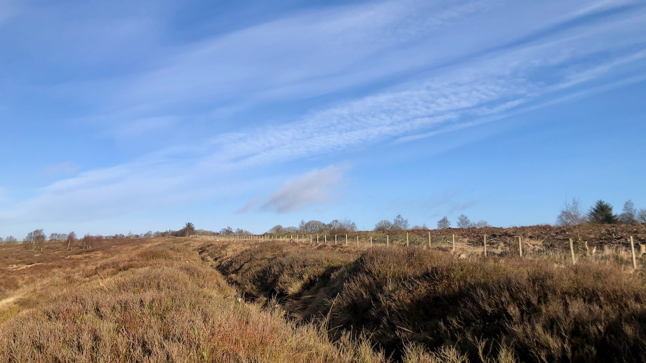
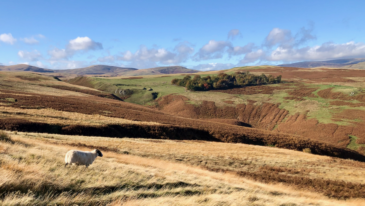
High Bride Stone Dyke, Bridestones
On a pleasant morning at Bridestone Moor, near Dalby Forest, soaking in the apricity, and enjoying the azure sky. Regrettably, clouds gathered post-lunch. However, an opportunity presented itself to inspect an ancient dyke delineating the boundary between National Trust property and the Forestry Commission. Over several winters, we endured all weathers on this moor, dedicating…
-
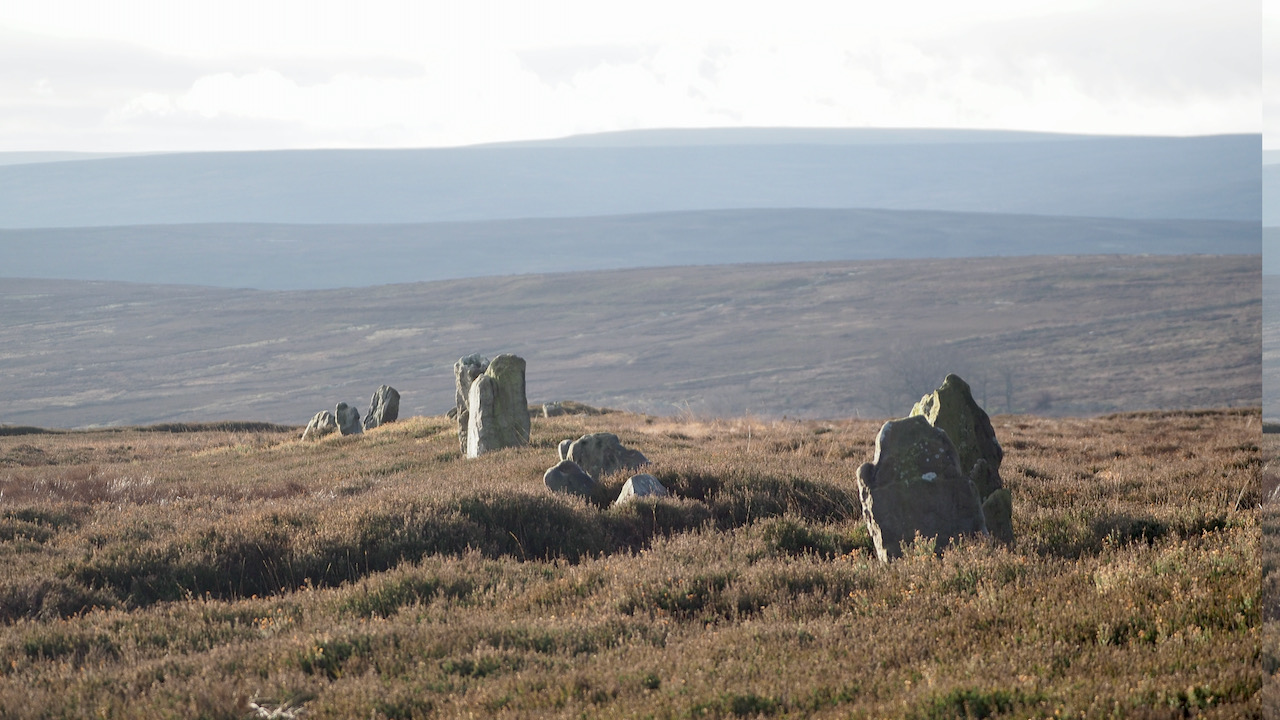
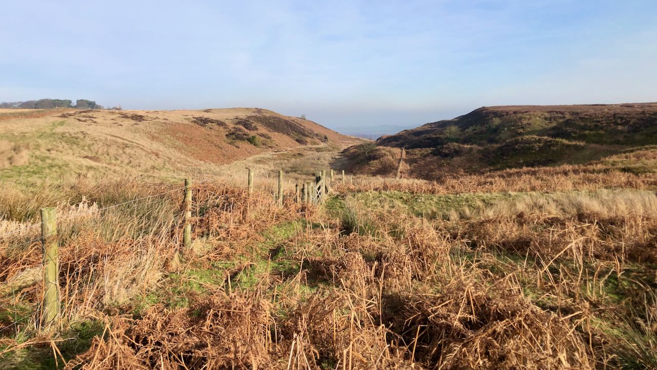
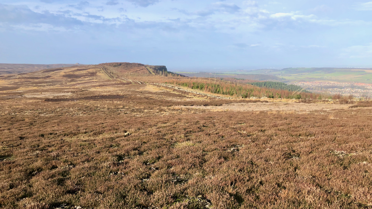
An Iron Age Boundary?
A view along an obvious alignment of stones, stretching from the boundary barrow at Hob on the Hill to the head of North Ings Slack. Associated with it is a pronounced dyke, termed a cross-ridge, although that appears a stretch of the definition. The date is believed to be the Iron Age, and the structure’s…
-
Another day, another dùn
Yesterday, I was unaware of the term “galleried dùn,” but today I came across another one. This is Dùn Ardtreck and is located at Ardtreck Point, near the entrance to Loch Harport. I must say, it is even more remarkable than yesterday’s. To be honest, I’m not entirely sure about the difference between a galleried…
-
Birchdale
I had a faint recollection of crossing Newton Mulgrave Moor before and indeed I had. It’s still a bit of a haze though. Lying north of the A174, it’s an unfrequented area. Very flat, and exposed to winds from all directions. But a relatively deep valley provides a welcome incision — Birchdale or Birk Dale…
-
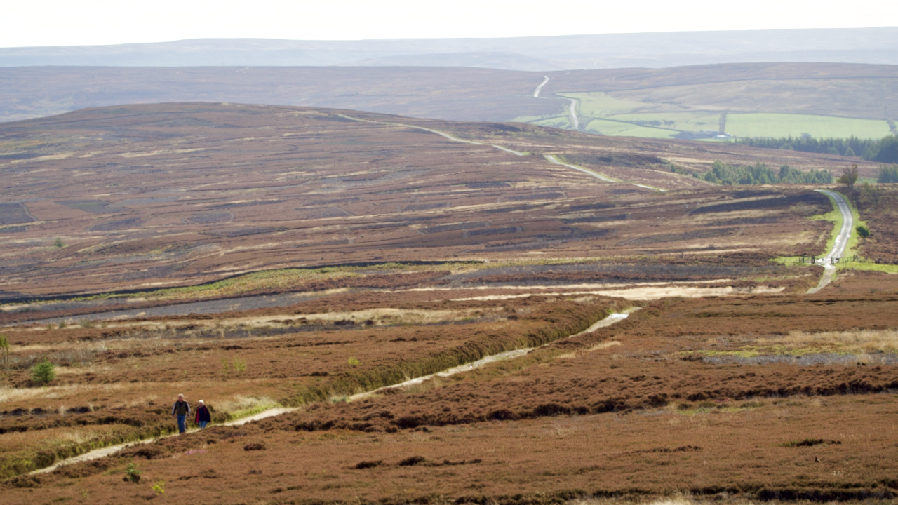
Middledean Camp
Viewed from across the precipitous Middledean Burn, the double earthbanks of the Iron Age fort known as Middledean Camp stands out against the smooth rounded hills of Breamish Valley in the Cheviots. Double earthworks such as this are termed ‘bivallate’. Promontary hillforts are those which are defended by steep slopes on 2 or 3 sides.…
-
Percy Cross Rigg
Without looking at the map, I would have said the track along Percy Cross Rigg, or to use its Medieval name, Ernaldsti, on its journey south across Great Ayton and Kildale Moors, and on to Westerdale follows a pretty straight route. But this telescopic photo shows just how sinuous it actually is. The name is…
-

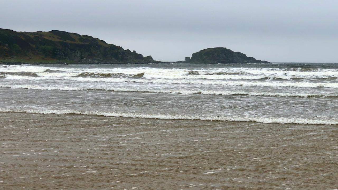
Dùn Bheolain
I find walking along the western seaboard of Scotland extremely exhilerating. More so that bagging summits in the clag. This is from Rubha Lamanais or Smaull point, just north of Saligo on Islay. It offer superb views of a trio of sharks teeth peaks, sometimes called Smaull Rocks or sometimes Opera Rocks. The latter must…
-
Carradale Point
A Brobdingnagian finger pointing due south into the Kilbrannon Sound. The headland is protected by a jungle of rhododendron and populated by feral goats. A narrow dyke of igneous microgabbro 23 to 66 million years old runs down the centreline of the isthmus but the dominant rock is much, much older, heavily banded Schist, folded…
-
In search of an Iron Age “encampment” on Highcliffe Nab
I was intrigued by this view of Highcliffe Nab that has been opened by the felling in Guisborough Wood and particularly with what appears to be a distinct earthwork descending diagonally from the nab to the col of Highcliffe Gate. First thing when I got in was to have a look at the Lidar mapping,…