I thought I would take a re-look at the Percy Rigg Iron Age hut circles. It has been quite some time. Alas, the perimeter fence lies in disrepair, casting a pall of melancholy over the entire site.
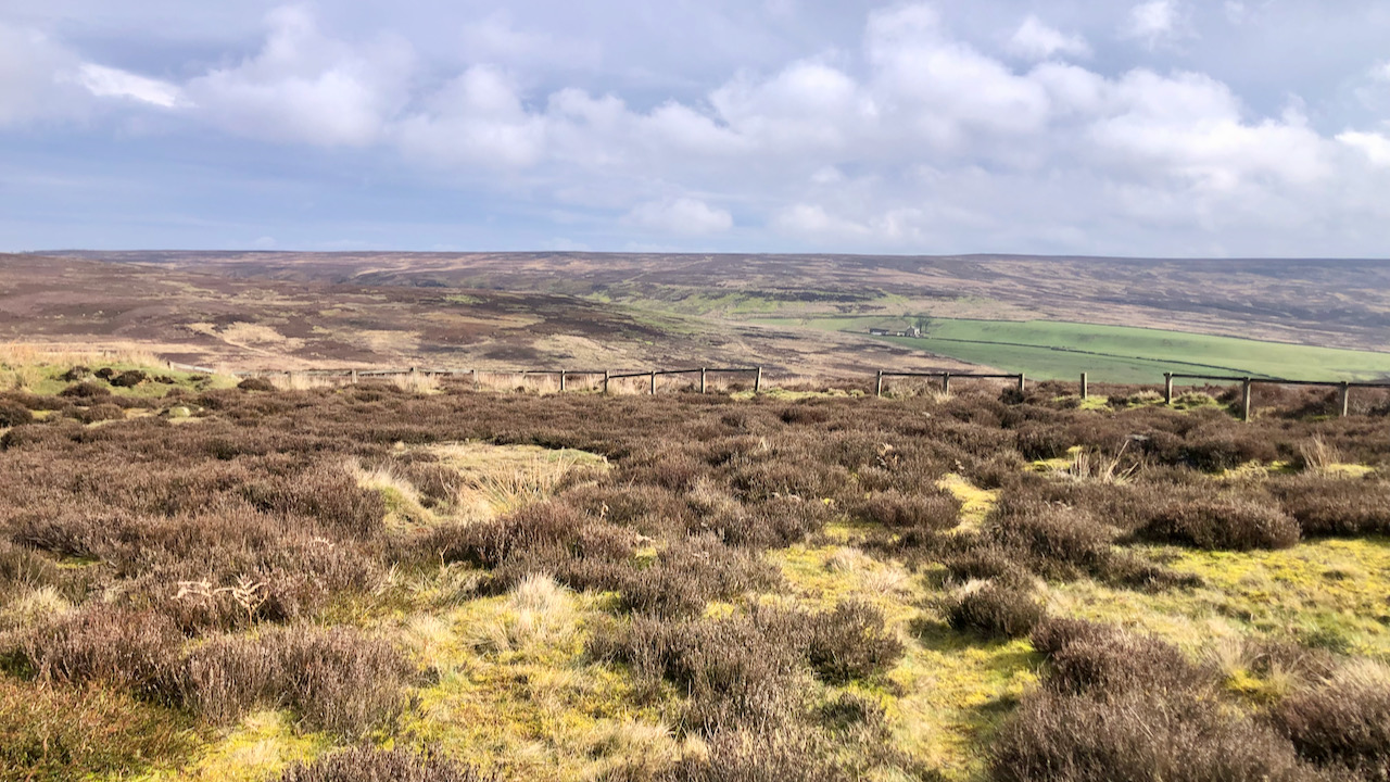
Located on the Percy Cross Rigg, just 460 metres down from the remains of the medieval cross, this round house site had eluded the notice of avaricious Victorian antiquarians. Yet, in the year 1962, Fred Proud, farming the land at Sleddale Farm (that distant homestead captured in the photograph), was curious enough to report the site to local archaeologists Roland Close and Raymond Hayes.
From 1962 to 1968, excavations were carried out, revealing evidence of five hut circles1Hut circle settlement on Percy Rigg NYM NP HER No: 4028.. An additional dig, focusing on just one of these dwellings, was conducted by members of the Hidden Valleys Community Project in 2019.
The period of habitation was deduced to span from the Late Iron Age to the early Roman era, a span exceeding 300 years, as evidenced by finds of pottery fragments and quern stones. Except for a solitary piece of grey ware, the unearthed pottery was of a coarse variety. Each house was encircled by a drainage ditch and platform, with three of them having stone walls.
In a departure from the norm seen in other Iron Age hut circle clusters, it is believed that only one house was in use at any given time. Constructed sequentially, the five houses exhibited a pattern of later structures overlapping the ditches of previous ones. The denominated ‘House 5’ likely marked the culmination of this architectural evolution, evidenced by its better preservation and superior craftsmanship, including internal paving and a stone wall. The nearby enclosure on Great Ayton Moor, presumed to be contemporary, hints at a plausible connection, and altogether implies a settlement of modest aristocratic standing2Square enclosure hut circle settlement on Great Ayton Moor NYM NP HER No: 2134..
Despite the proximity of a field system, the settlement stood in an isolated position on the prominent ridge3Clearance cairns on Kildale Moor NYM NP HER No: 4019.. Water would have been available from a spring 350 metres due north and 25 metres downhill, close to the aforementioned field system. The ridge would later serve as the well-travelled route known as Ernaldsti, linking Guisborough and Westerdale during the medieval period. It strains credulity to imagine that this natural route would not have been much used centuries earlier.
The Iron Age succeeds the Bronze Age in British prehistory circa 700 B.C., marking iron as the primary material for crafting tools and weaponry. During this time, the Tees valley was well-populated, its denizens principally agrarian, cultivating crops and tending to flocks of cattle and sheep. Termed the ‘Celts’, the populace of the Iron Age inhabited a landscape fragmented into territorial demarcations, each under the sway of a local clan. The names of these Celtic tribes endure through Roman chronicles, with the Brigantes reigning much of Yorkshire. Speculatively, within each tribe, there might have existed subsidiary factions, thought to include one located within the Tees valley.
These Iron Age folk would have been no strangers to mobility. Despite the prevailing notion of solitary homesteads and inward-looking kinship, Britain at this time would have teemed with bustling networks of travel. These could have come from trade, warfare, and migration. Amidst such movement, trackways emerged, threading together disparate communities and tribal domains, often spanning great expanses.
- 1Hut circle settlement on Percy Rigg NYM NP HER No: 4028.
- 2Square enclosure hut circle settlement on Great Ayton Moor NYM NP HER No: 2134.
- 3Clearance cairns on Kildale Moor NYM NP HER No: 4019.
Leave a Reply