Month: November 2019
-
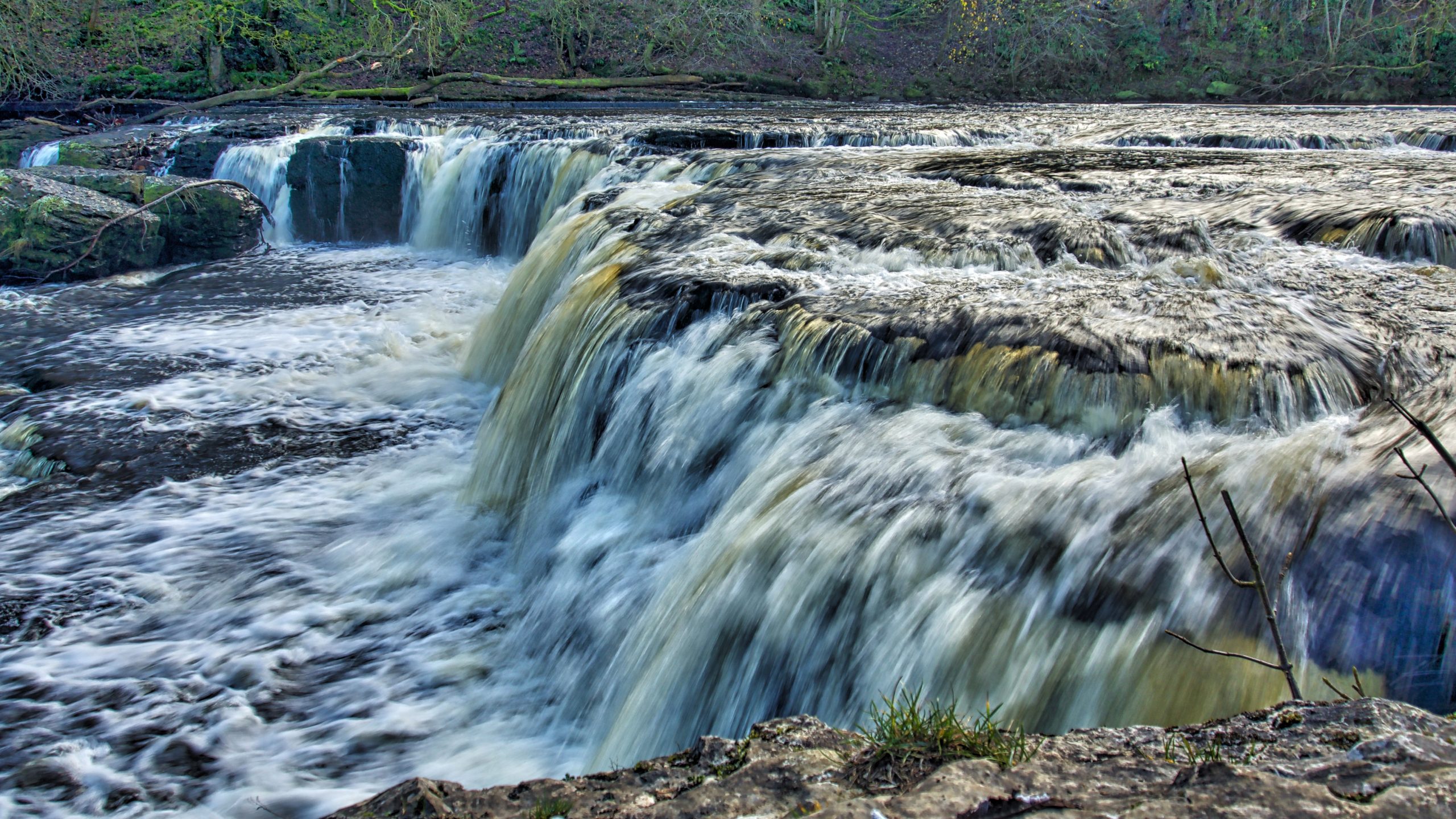
Aysgarth High Falls
The River Ure tumbling over Aysgarth Falls, perhaps Wensleydale’s most famous beauty spot. Tumbling swiftly, it could be said. The name, Ure, is toponymically very old, coming from the Celtic language ‘isura’ means swift-flowing. That’s the Celts, before the Danes, before the Anglo-Saxons, who put up with the Roman occupiers. The written records that survive…
-
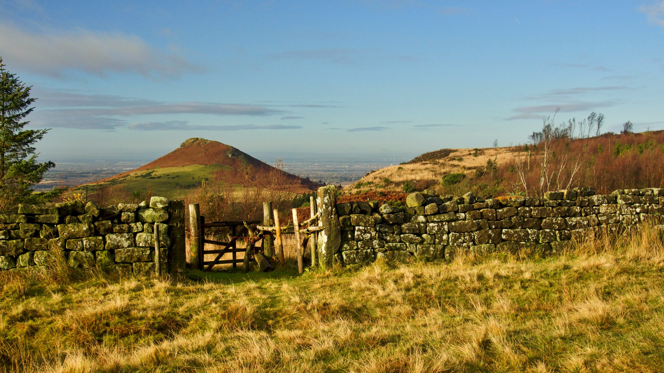
Ounsbury toppin hill
So Christopher Saxton annotated the hill in his Atlas of the Counties of England and Wales which he published in 1579. Commissioned by Elizabeth I, it was the first definitive map of England and Wales with each county being engraved on a separate copper plate on a scale of 1″ to 3⅓ miles. Maps were…
-
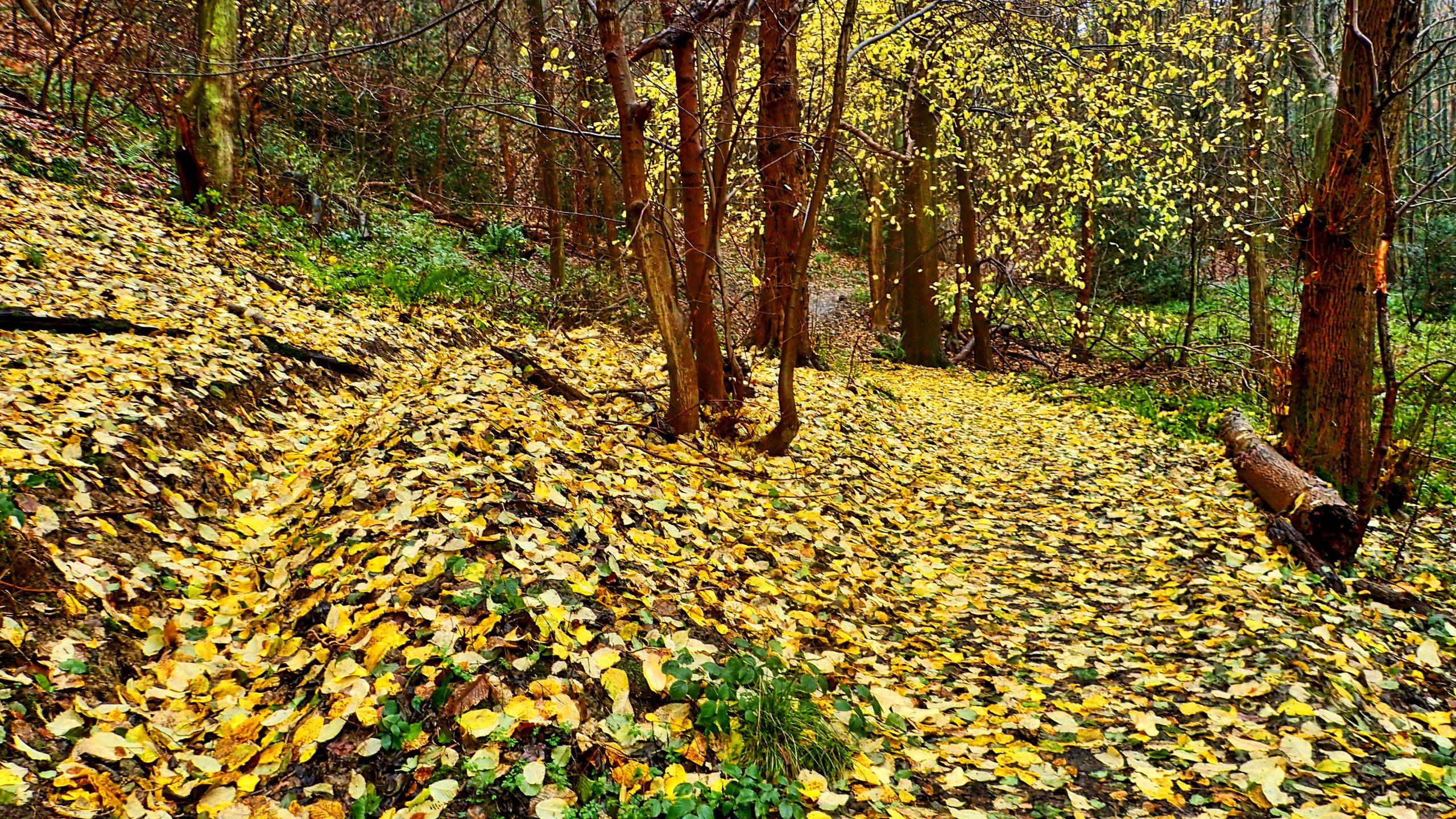
Newton Wood
Heavy overnight rain and winds have taken their toll on the autumnal colours, russets, browns and yellows. On the lower path in Newton Wood, a yellow carpet of fallen hazel leaves covers the woodland floor. With the onset of shorter days and cooler temperatures, complex chemical changes occur in the leaves. The concentration of sugar…
-
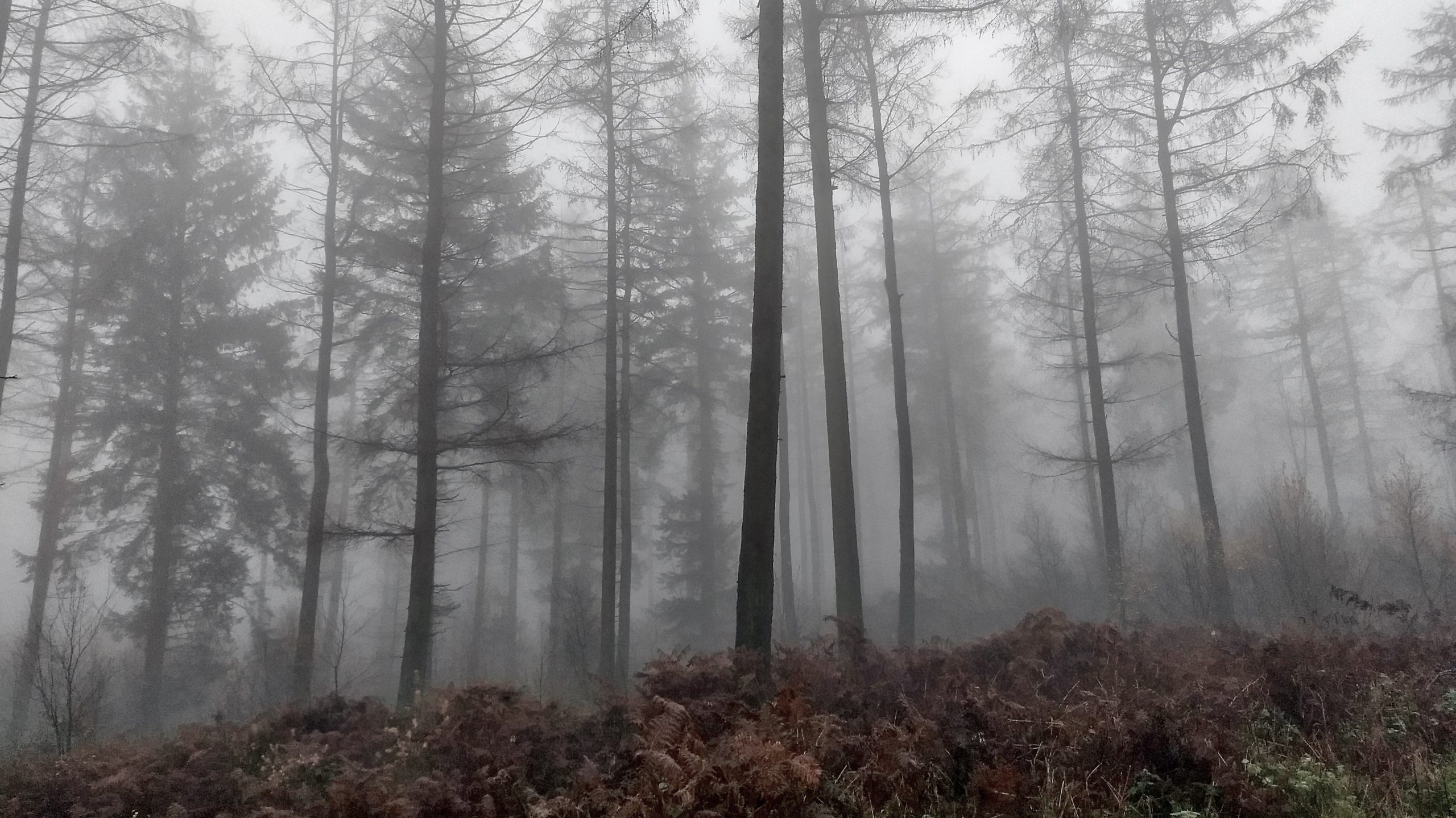
A misty Coate Moor
“Mist muged on þe mor malt on þe mountez Uch hille hade a hatte a myst hakel huge” Two lines in Middle English from the medieval poem of Arthurian chivalry “Sir Gawain and the Green Knight”. Translated it says: The moor was muggy with mist, and the snow melted on the mountains, and each hill…
-
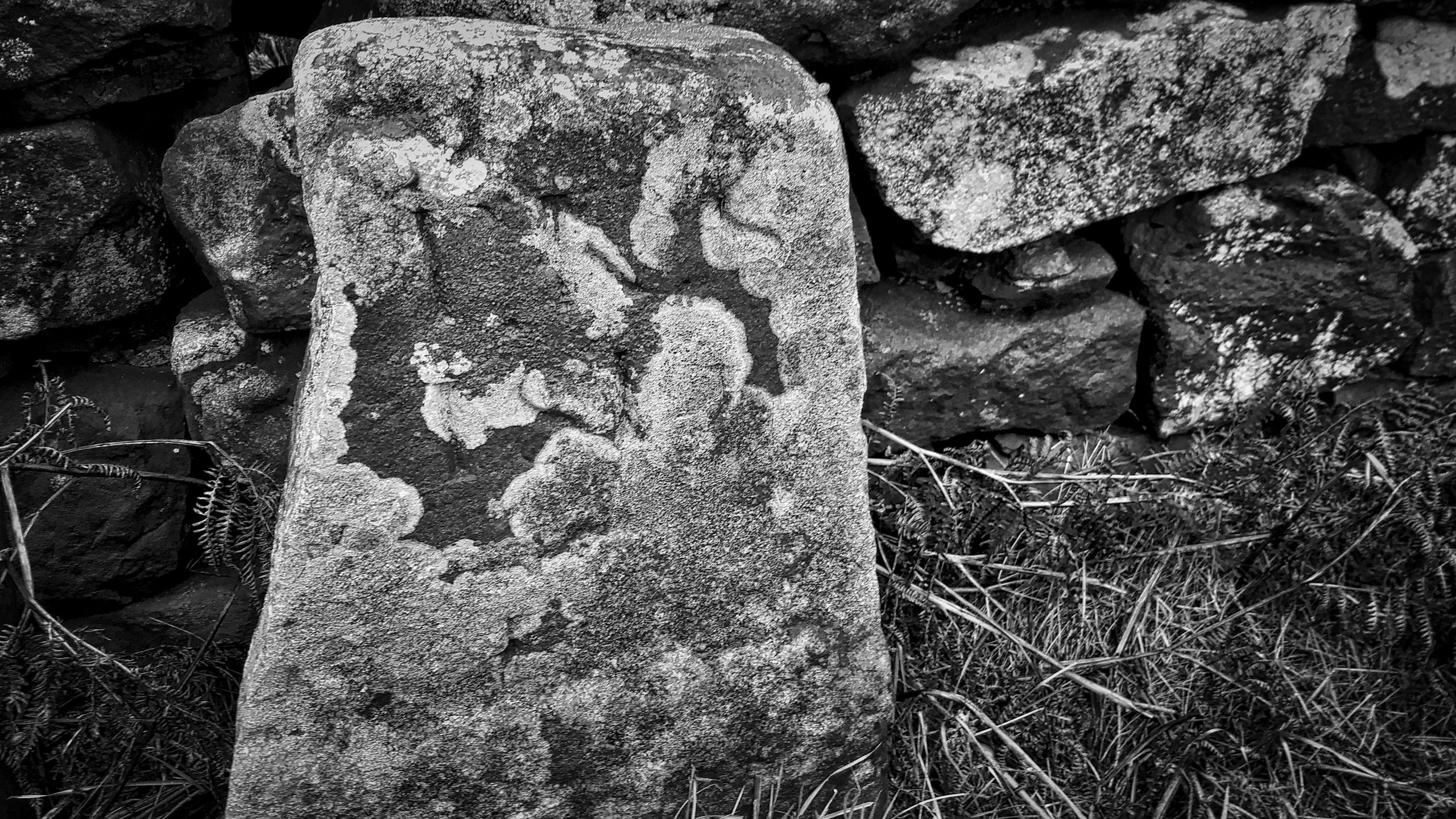
Moor Edge Stone
Another dull morning with a sky of corrugated grey cloud clipping the top of Roseberry. So an old favorite, the Moor Edge Stone marking the boundary between the parishes of Newton-under-Roseberry and Pinchinthorpe. Rendered in black and white in an attempt to emphasize the heavily weathered inscription of “TKS 1815” standing for Thomas Kitchingham Staveley…
-
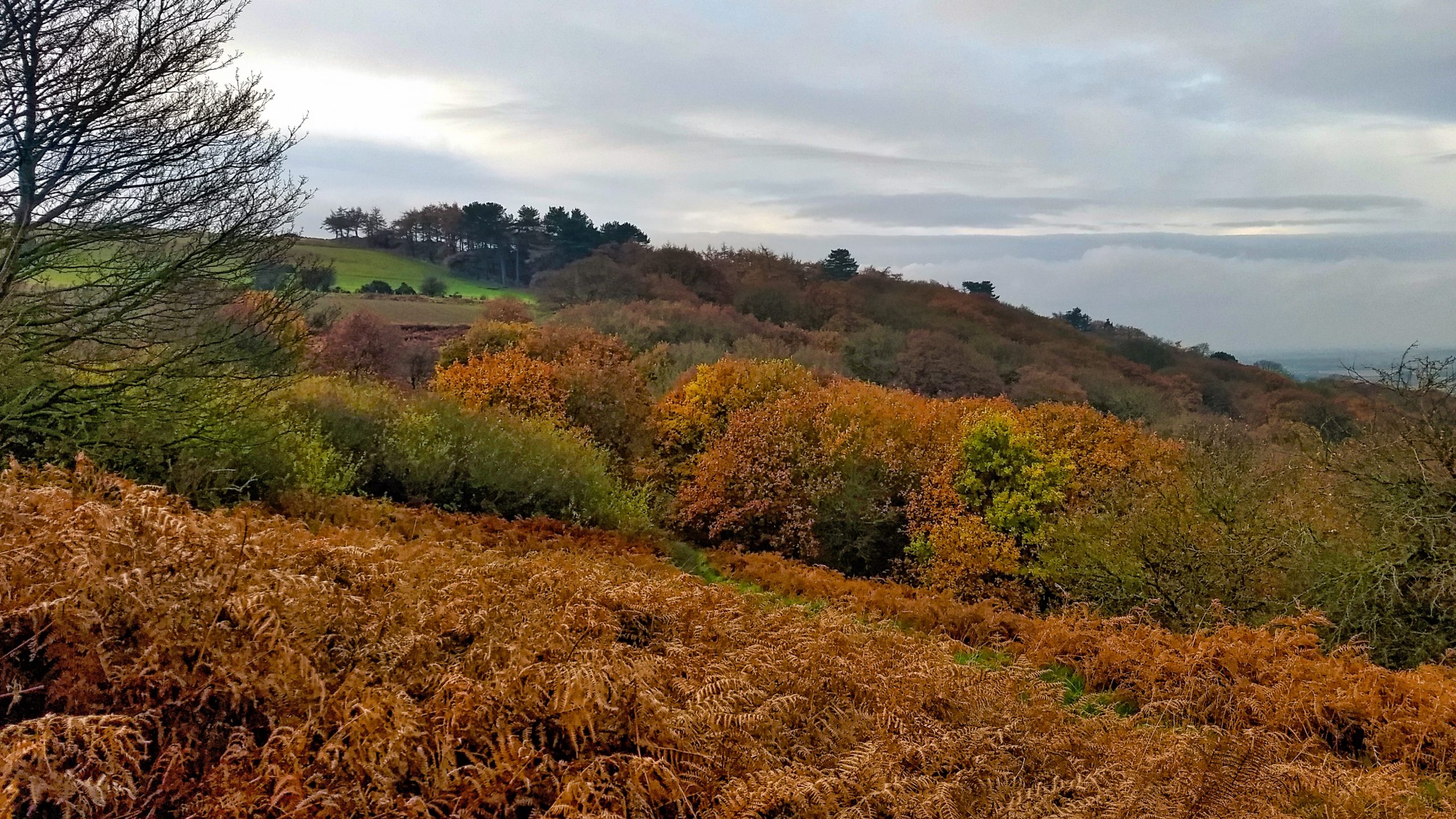
Newton Woods
An early climb up Roseberry and back through Newton Wood looking glorious in its autumn colours, oak leaves refusing to fall. Overcast and dull. Open Space Web-Map builder Code
-
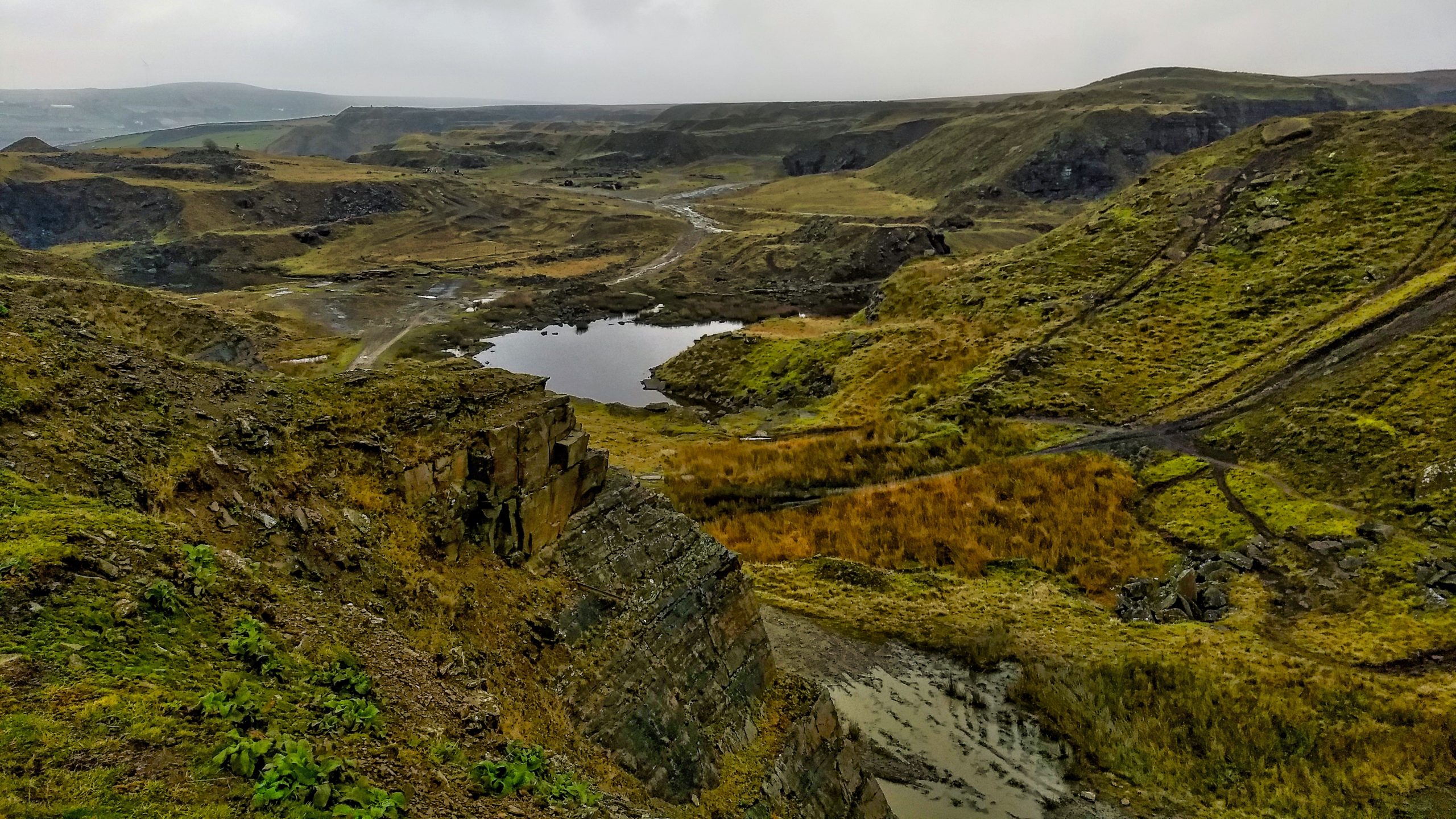
Greens Moor Quarry
I don’t know the West Pennines very well. In fact, I can only recall four visits although there must have been a few more. Deep-sided urbanised valleys dividing large tracts of very boggy, and I mean very boggy moorland. The road signs on the way north from the M62 jogged memories of fell running clubs…
-
Ingleby Incline
The old railway incline for the Rosedale Branch ironstone railway. Almost a mile long with a maximum gradient of 1 in 5. A rake of trucks full of iron ore would be lowered down by a steel rope, which looped around a drum at the top and pulled up a rake of empty trucks. Speeds…
-
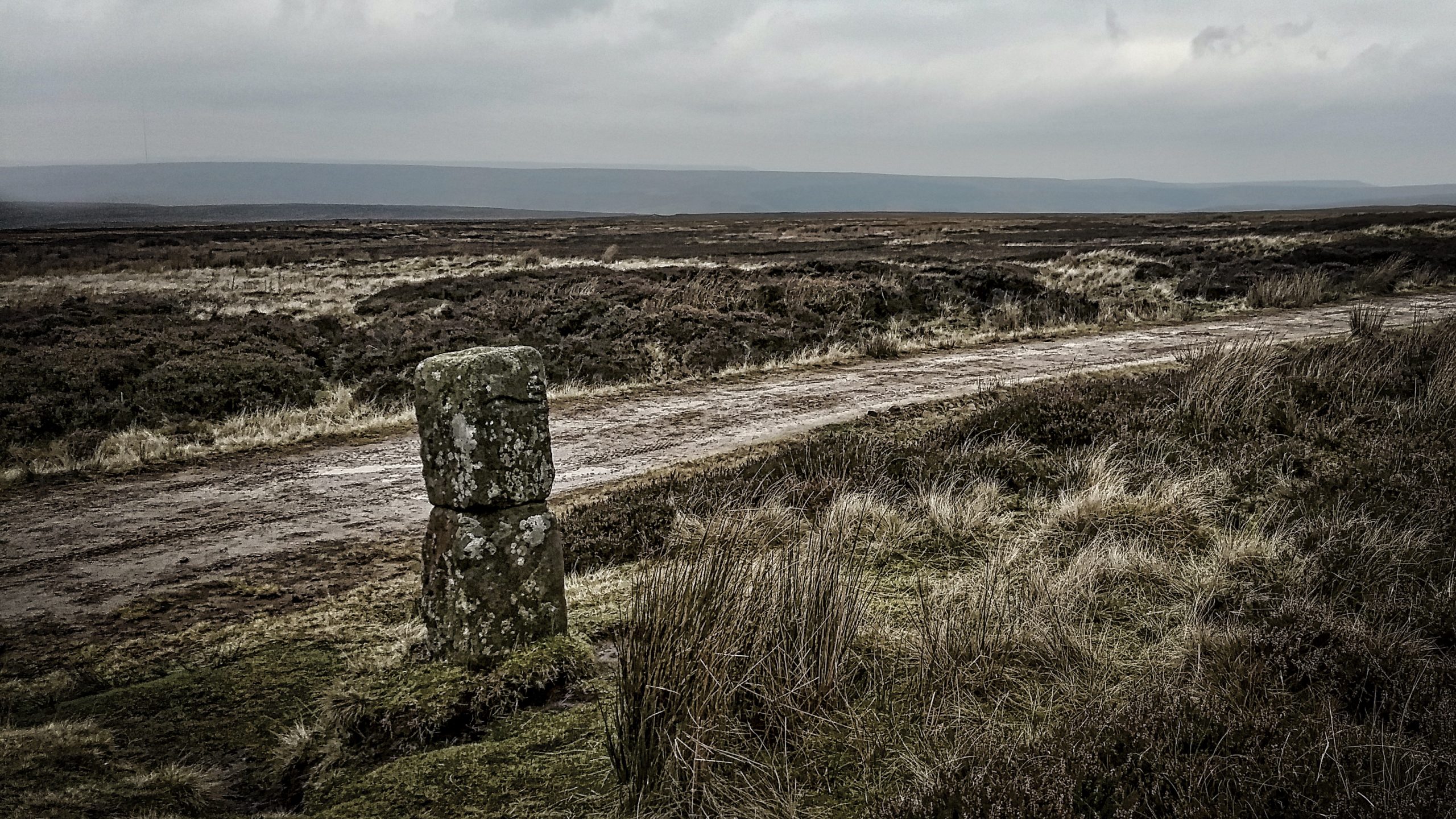
The Hand Stone on Urra Moor
Urra Moor has the highest point on the North York Moors. Fly east, keeping the same height and you won’t touch land again until the Ural Mountains. When an east wind blows this can be a bleak spot. The name ‘Urra’ probably comes from the old English ‘horh’ meaning phlegm or filth, perhaps an indication…
-
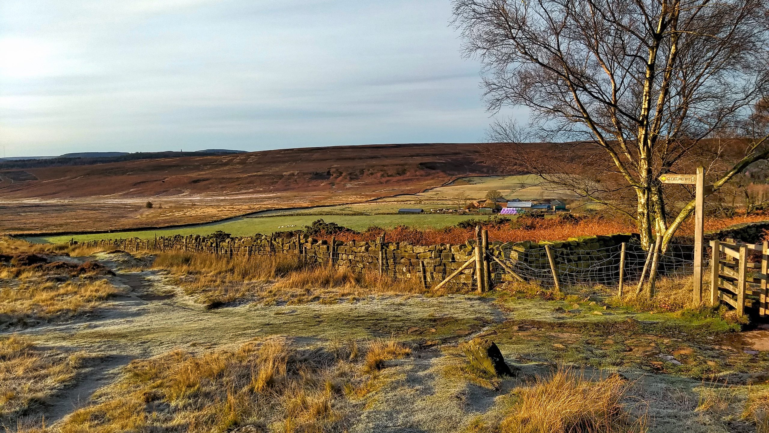
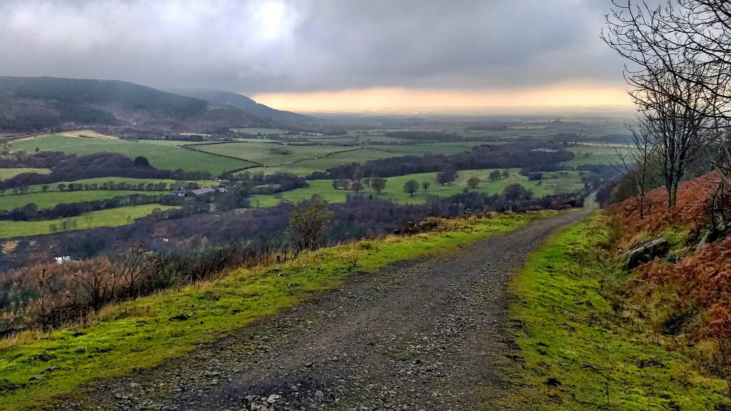
Cleveland Way at Codhill Plantation
Looking down the Cleveland Way towards the shallow col at the top of Codhill Slack or as Kendall referred to it as Bold Venture Channel. Percy Fry Kendall was Professor of Geology at the University of Leeds from 1904 to 1922 and investigated the glaciation of the North York Moors. He concluded that a lake…