Category: Pinchinthorpe
-
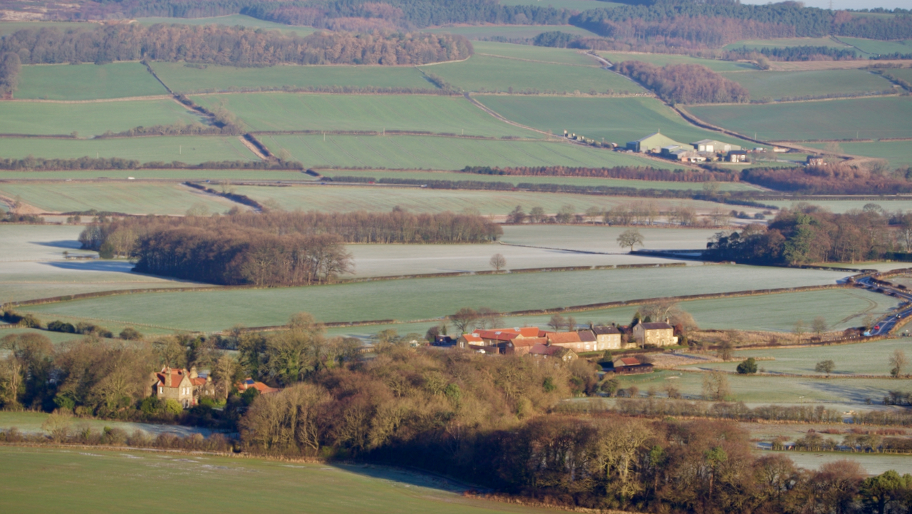
In 1740, High Farm, Pinchinthorpe (centre of photo) was owned by Ralph Ward
Ward, a Guisborian, was “once described as the richest commoner in North Yorkshire” with property in Boulby, Loftus, Aislaby (Yarm), Sandsend, and Guisborough. He was related to the Pease family of Darlington and through his sister’s marriage to the Jackson family. Farming seemed to have been his main business, buying and selling cattle, sheep, and…
-
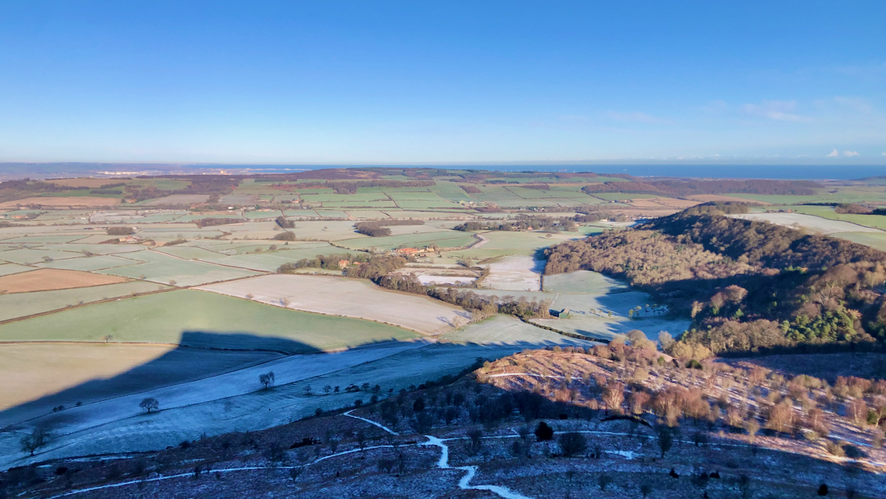
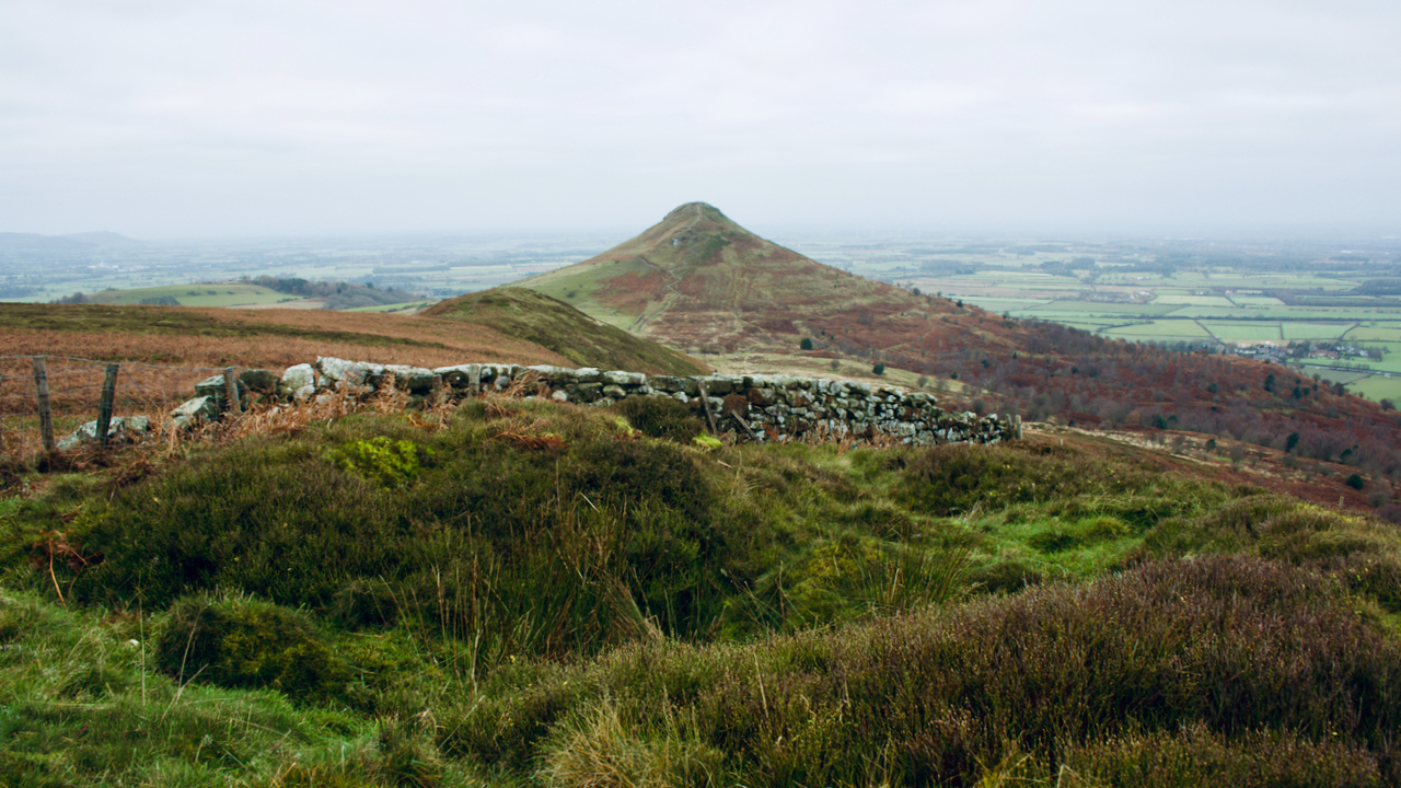
A view from today’s constitutional
No prizes for guessing that it was taken the summit of Roseberry looking north towards Pinchinthorp. A lovely cold winter’s day, with a smattering of overnight snow. This was actually my second ascent of Roseberry — here’s a photo from the same spot on that first climb: So no prizes available today but a certain…
-
Spite Hall
There’s an old dialect word ‘gongoozle‘ which I rather like. It means to “leisurely watch the passage of boats, from the bank of a canal, lock or bridge”. Exactly which dialect is unclear. Some say Lincolnshire, some say the Lake District, some say Cockney. It is first recorded in 1904 in the “Glossary of Canal…
-
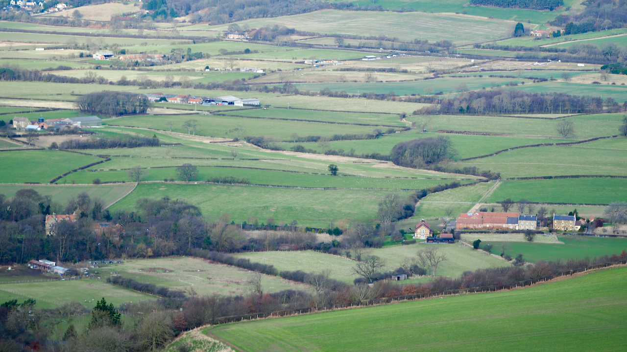
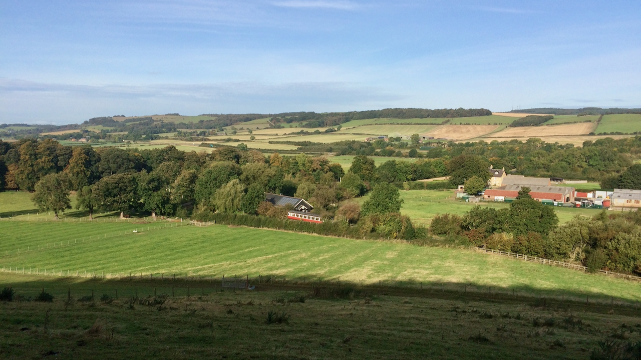
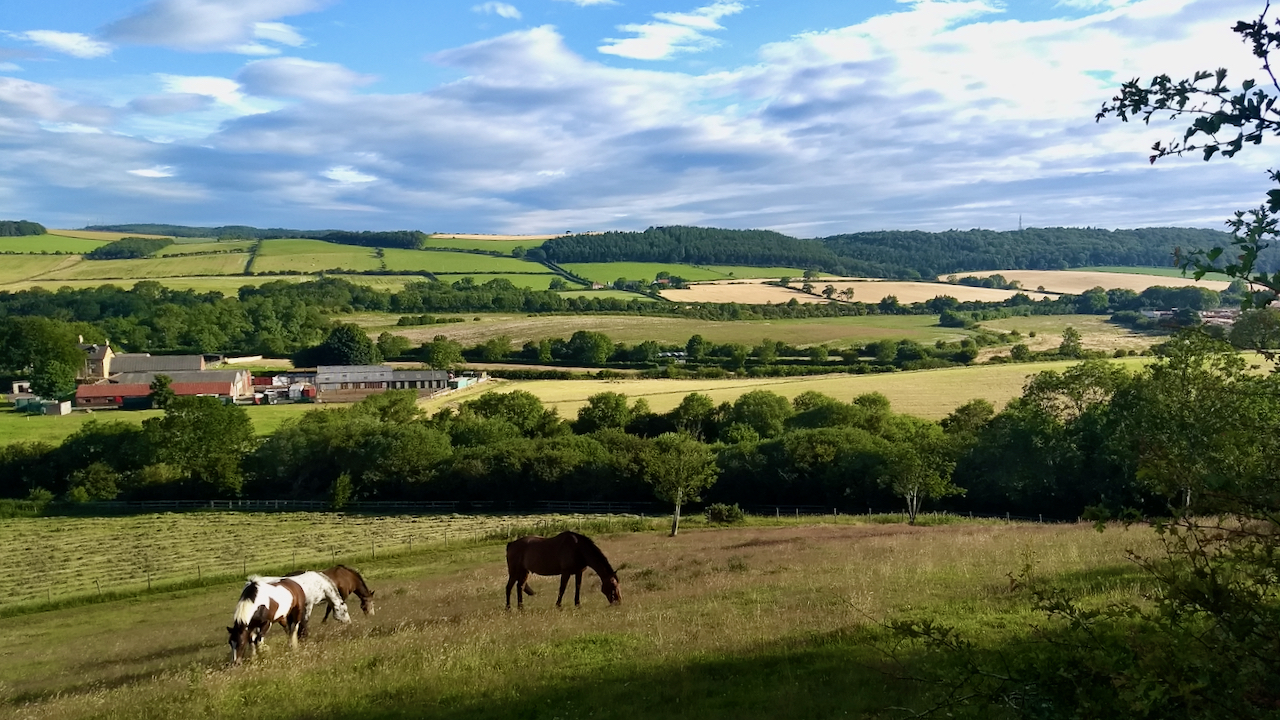
Pinchinthorpe
The Domesday Book records two manors in Pinchinthorpe. The eastern half, centred on the modern Pinchinthorpe House (but not as far as the Pinchinthorpe Vistor Centre) and the western half comprising Pinchinthorpe Hall. The photo shows almost the full extent of the western half. Bottom left, partially hidden by trees is Pinchinthorpe Hall. The farm…
-
The Glover Landscape Review
In May 2018 the Government commissioned an independent review led by journalist Julian Glover into whether the legislation for our National Parks and AONBs issued over 70 years ago, is still fit for purpose. The subsequent report was published in September 2019, and became known as the Glover Landscape Report. This 168 page report contains…
-
Pinchinthorpe
I am very conscious about posting a photo of the same feature or from the same viewpoint. I knew had posted one from this spot before, but I now find I’ve actually posted three, here and here. But whatever; comparison of photos years apart can itself be interesting. I also forgot that in one of…
-
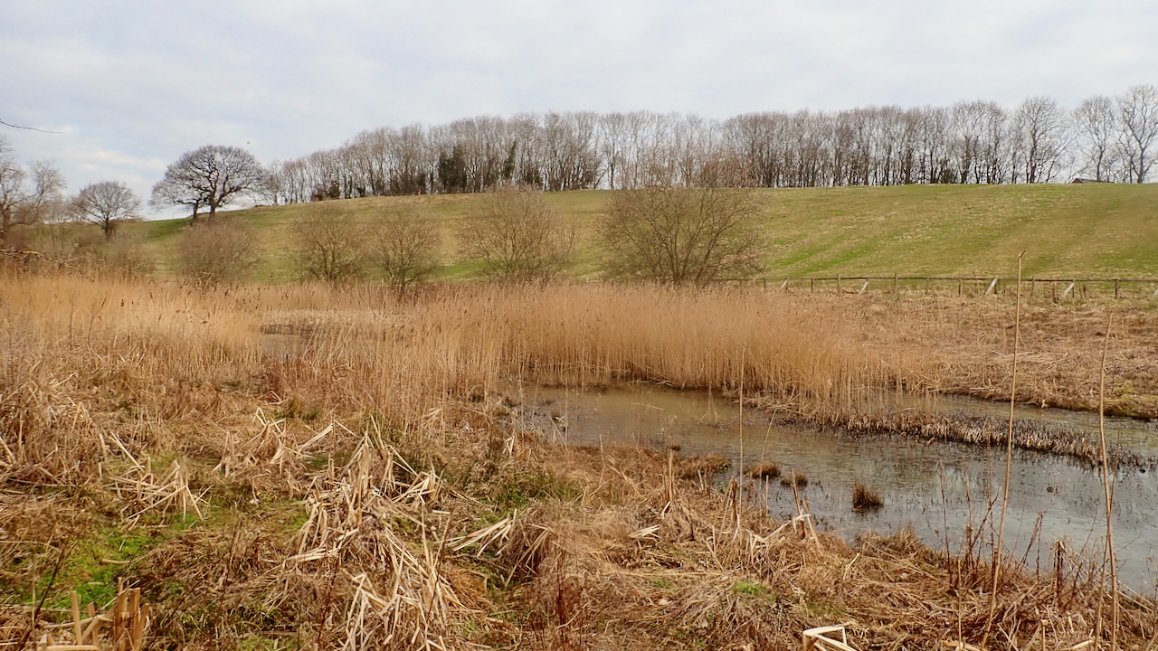
Tinghoudale
Visiting wetlands is a rarity for me and has been almost non-existent since this pandemic started. I’ve been keeping an eye then on this little marshy nature reserve in the small valley between the Bousdale ridge and Grove Hill. The valley went by the Old Scandinavian name of Tinghoudale or ‘the valley beside the mound…
-
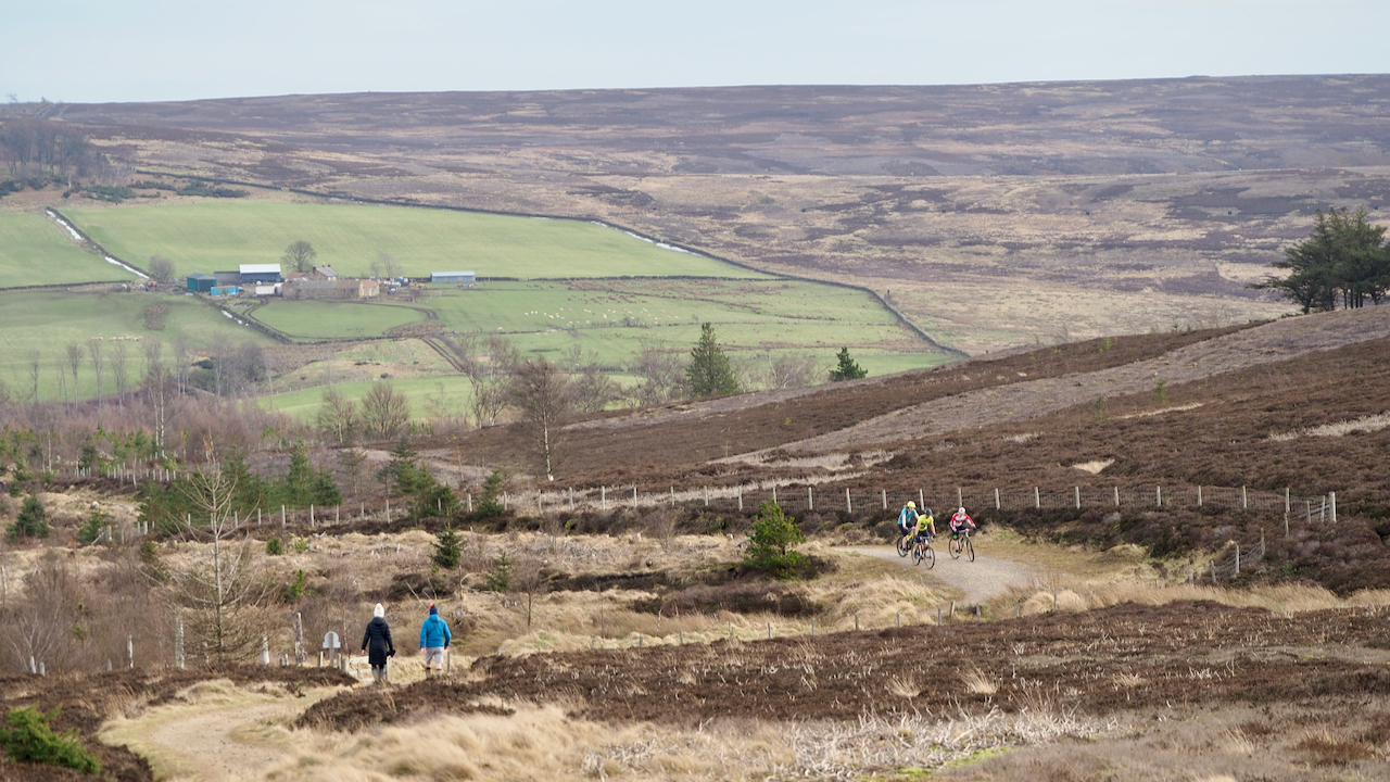
Melegate
The cyclists and the walkers are on the Cleveland Way between Little Roseberry and the Kildale track. This is supposed to be the route of an ancient and important route called ‘Melegate‘. The name is mentioned in a 13th-century charter between Guisborough Priory, and Richard de Hoton and his brother, Humphrey, following a dispute over…
-
Lowcross Swangs
A pastoral scene looking across Lowcross Swangs to Barnabyside of Eston Moor. A ‘swang‘ is a Yorkshire term for a low-lying piece of grassland that is liable to flooding. To the left of the photo, the drainage is west to the River Tame and eventually the Tees; to the right, the flow is east into…
-
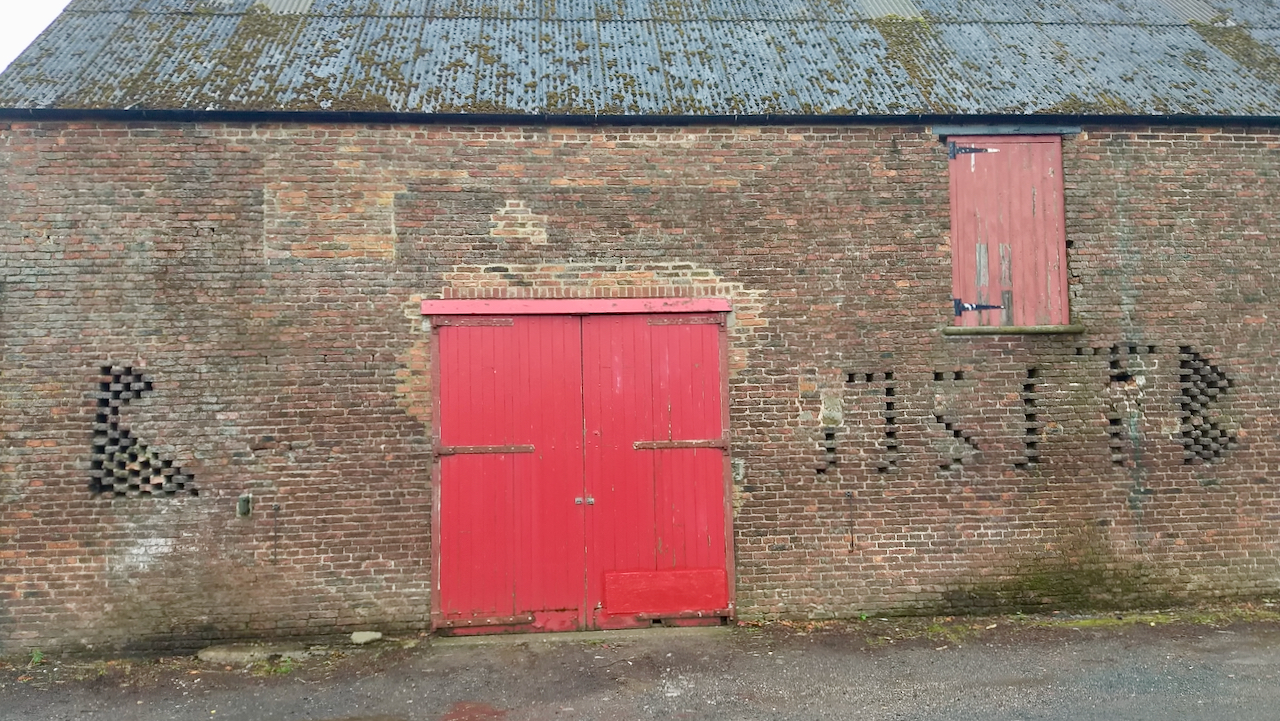
Lowcross Farm
I remember being intrigued by the wall of this barn when driving past it on the old road which went through Lowcross Farm, near Pinchinthorpe. The farm has long since been by-passed and the memory had faded but a recent visit to the stables there worked a few brain cells. The holes are for ventilation,…