Category: North York Moors
-
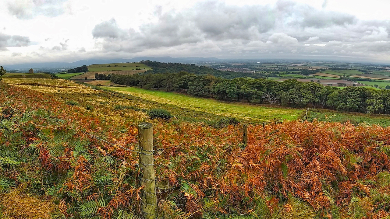
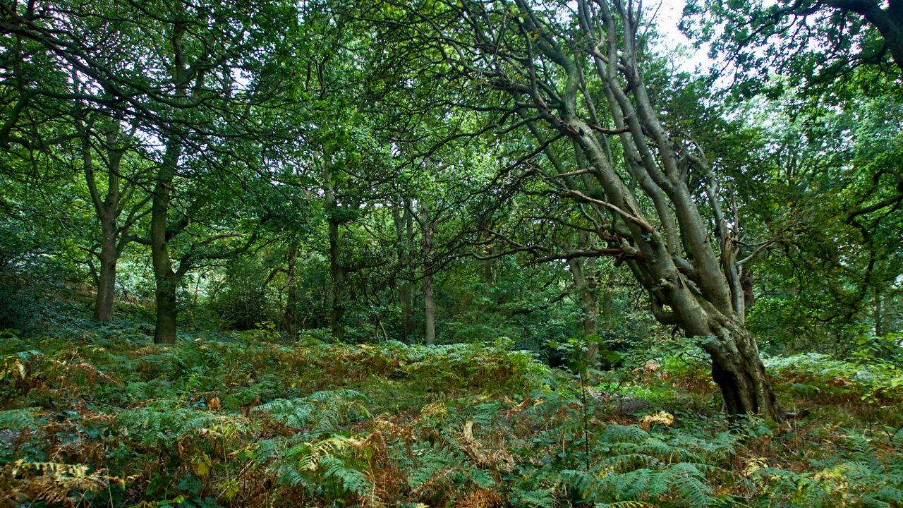
Cliff Rigg and Newton Wood
Explored a long-forgotten section of a Public Bridleway up Roseberry Topping that has recently been cleared of bracken. It’s just a wild guess but to me, the route points to an early tourist route up to the summit. I’ve posted about this before. It starts in Newton and goes up Roseberry Lane (or Wood Land…
-
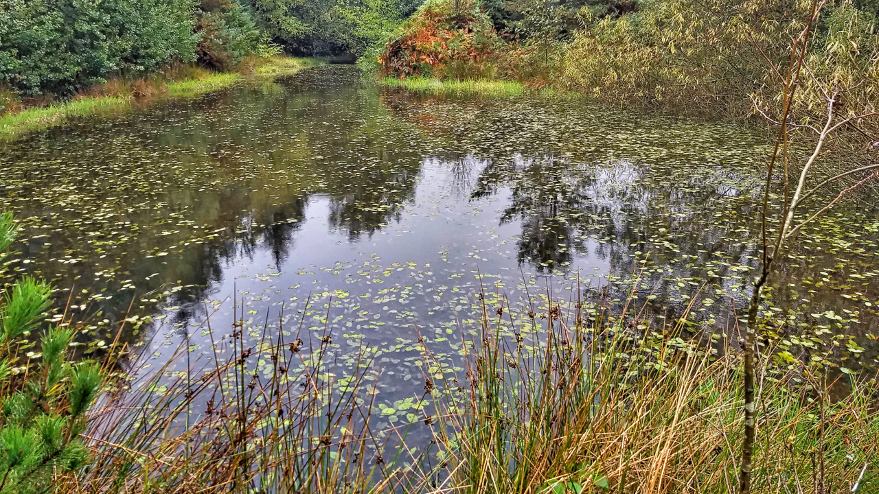
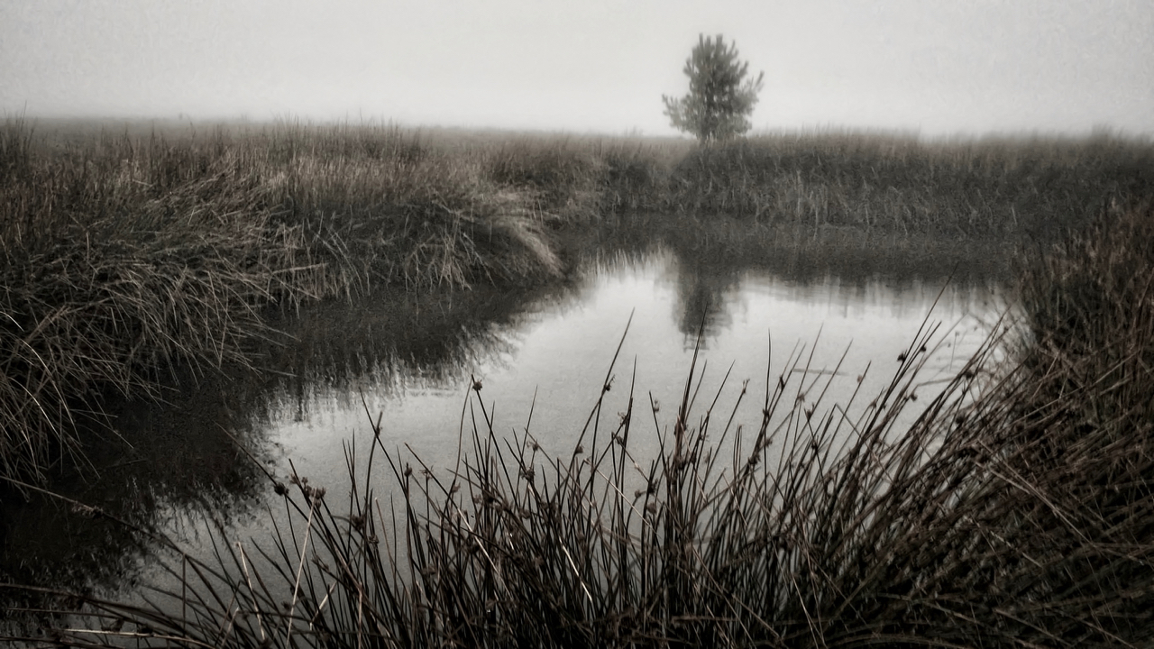
Pond, Sneaton Forest
The first time I orienteered in Sneaton the map was called Maybeck, the spruce trees were impenetrable and any excursion was a hands and knees job along one of the many ditches. Planted in the 1960s the forest is a commercial forest typical of the North York Moors. Today, 40 years later, the trees have…
-
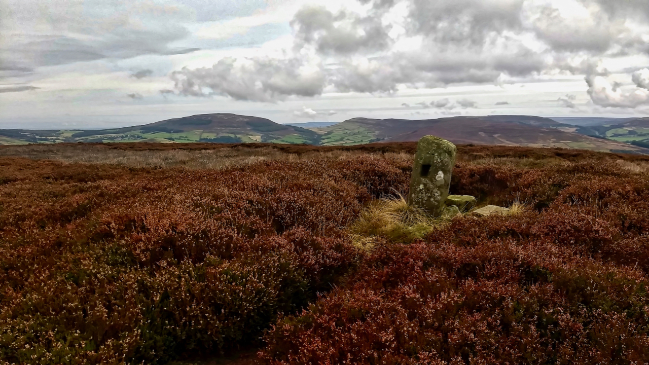
Green Howe
Go to almost anywhere on the North York Moors and somewhere on the skyline there will be at least one round barrow. More likely you will be able to spot a dozen or so. The archaeologists tell us 541 of them have been recorded. Marked in Gothic script on Ordnance Survey maps as ‘tumulus’ or…
-
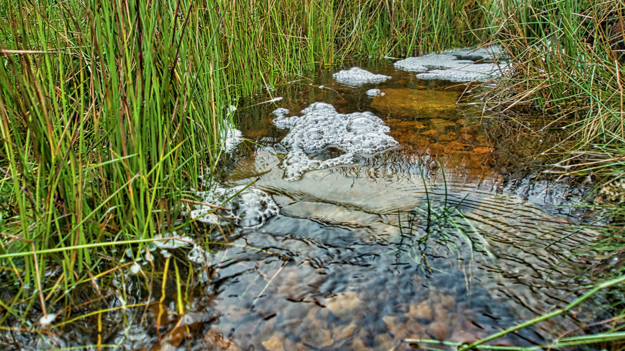
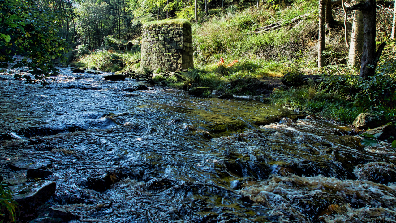
Howden Gill
Another blashy morning with low cloud so no panoramic views today. Plenty of water around though. This is Howden Gill which drains Great Ayton Moor. The foam is caused by natural surfactants released from decaying organic matter in the stream lowering the surface tension and allowing the water and air to mix more easily creating…
-
Word of the day: tropism
From the Greek tropos meaning “a turning”, a tropism is the response in a plant’s growth due to an external environmental stimulus. There are many types, such as: Hydrotropism, growth in response to water for example when the roots grow towards areas of higher moisture Phototropism, in response to light Thermotropism, in response to temperature…
-
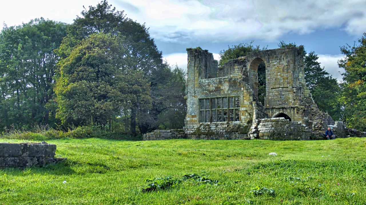
Mulgrave Castle
Standing on a narrow ridge between two parallel wooded valleys, Mulgrave Castle is part of the Mulgrave Estate owned by the Marquess of Normanby. Parts of the formidable curtain wall are Norman but the photo shows the keep which dates to the end of the 13th century. The large window in the east wall is…
-
West Beck, Beck Hole
Exploring the excavations of the 19th-century ironstone mining activities in Combs Wood near Beck Hole. These have been carried out by the Land of Iron project over a three year period. We found them easily enough. Most intriguing was a deep pit thought to have contained a waterwheel with a range of remains above which…
-
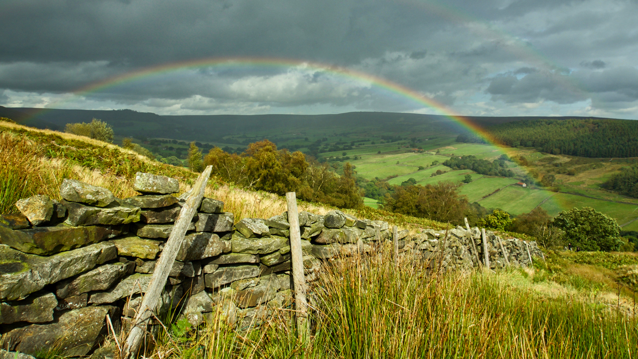
Bransdale
A refreshing day spent in Bransdale, making repairs to some of the field boundaries. Bransdale’s walls are quite distinctive. In other uplands, dry stone walls are constructed of two skins of stonework, usually dressed and tapering inwards towards the top, with the gap filled with small pieces. Bransdale’s walls are just a single skin, huge…
-
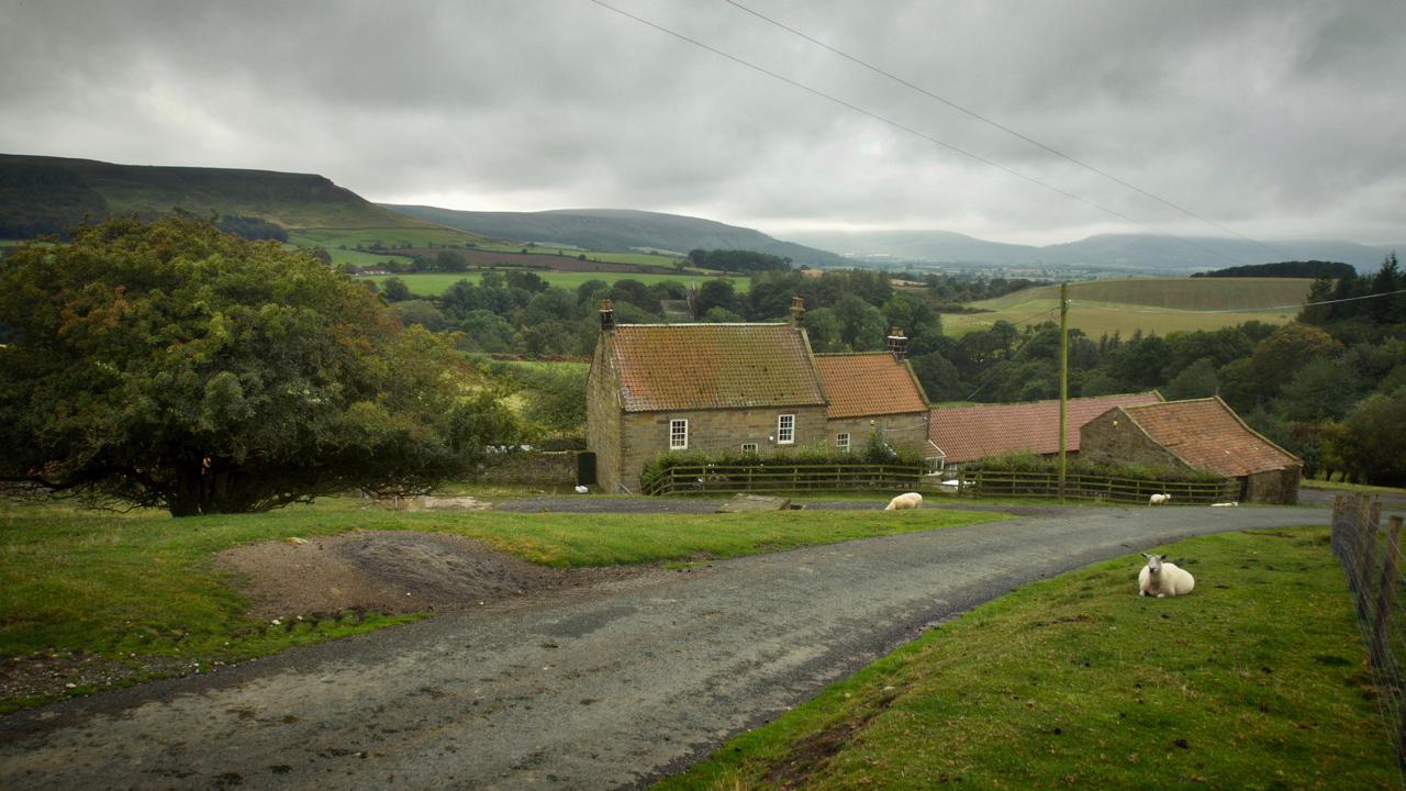
Bankside Farm, Kildale
On 31st August 1939, 48 children each carrying a gas mask and a small suitcase containing prescribed essentials and with a label attached to their coats arrived bewildered at Kildale railway station. Most were from Newcastle and Gateshead, conurbations with heavy industries which had been assessed had a high risk of being bombed. They were…
-
Designated Landscapes Review
In January 2018 the Department for Environment Food & Rural Affairs published a 25 Year Plan for the Environment with the intention of setting out an approach to protect the landscapes and habitats in England and committed to undertake a review of National Parks and Areas of Outstanding Natural Beauty (AONBs). Last week the Landscapes…