Category: Kildale
-
Forgotten Footpaths
I’ve found a website which is currently fascinating me. It’s called ‘Don’t Lose Your Way’ and it’s run by the Ramblers. It enables a direct comparison between the modern Ordnance Survey map and the 1895 edition. Its purpose is to identify and record lost footpaths that have been omitted as statutory Public Footpaths from the…
-
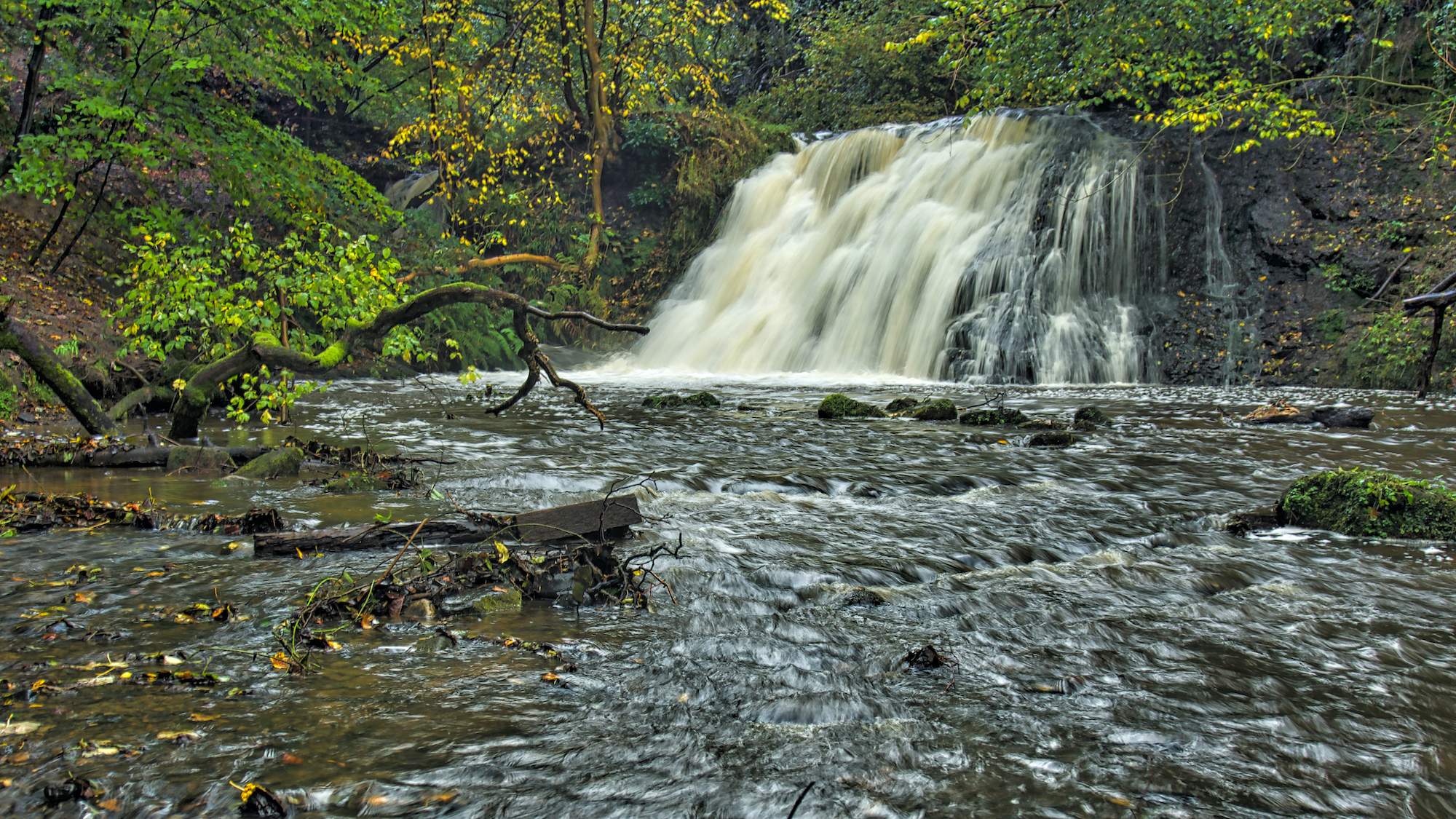
Old Meggison
Kildale Falls, aka Old Meggison. I had spotted the other day that a lot of work had been done by the estate thinning the trees and constructing steps down the steep bank. It has certainly been made a lot brighter and easier access downstream. The track along the gorge still displays “Concessionary Path” signs with…
-
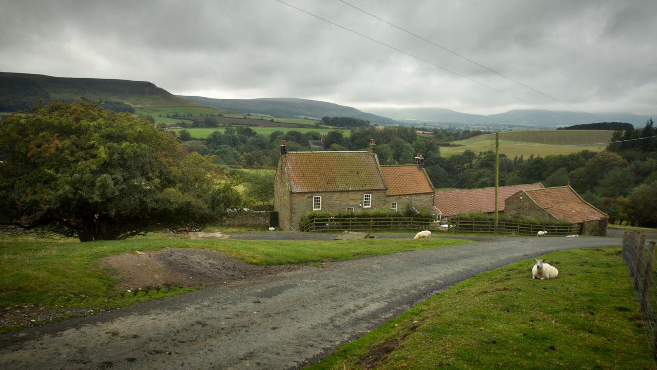
Bankside Farm, Kildale
On 31st August 1939, 48 children each carrying a gas mask and a small suitcase containing prescribed essentials and with a label attached to their coats arrived bewildered at Kildale railway station. Most were from Newcastle and Gateshead, conurbations with heavy industries which had been assessed had a high risk of being bombed. They were…
-
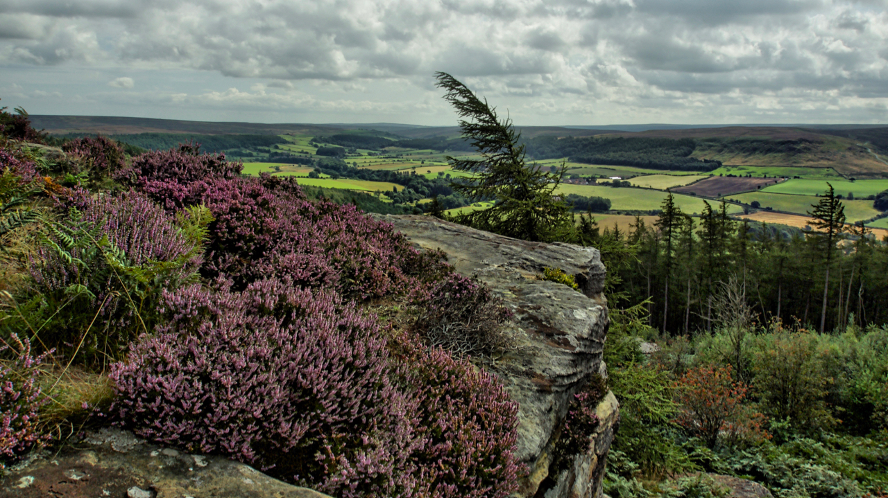
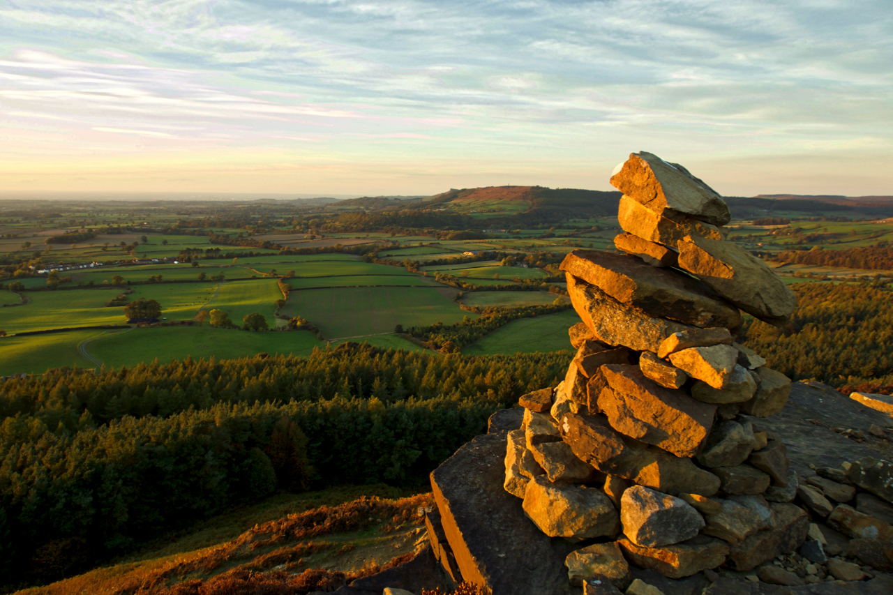
Cook’s Crags overlooking Kildale
Named as Ward Nab on the largest scale maps but known affectionately as Cook’s Crags by the climbing community. The ling is blooming nicely, here seen in a more natural setting than the vast swathes of moorland with which it is normally associated. The low lying shrub has been used through the ages as a…
-
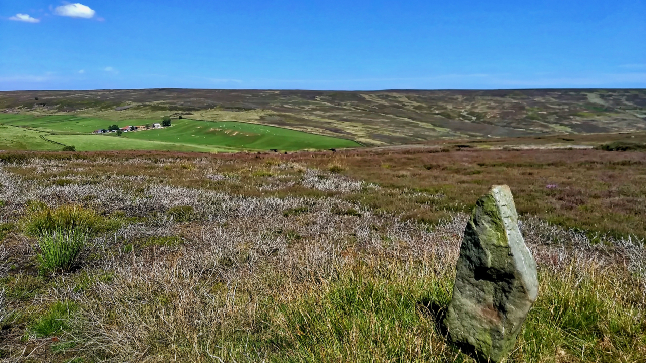
19th Century guide post
The old Ordnance Survey map shows a footpath linking the farms of Wood End in Kildale and Sleddale. The footpath has long since disappeared but is evidenced by this waymarker across Kildale Moor. It is believed to be 19th-century. Open Space Web-Map builder Code
-
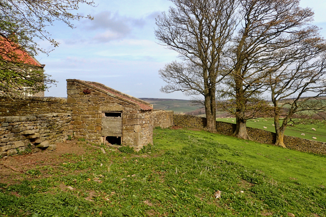
18th-Century Privy
A fine example of vernacular architecture at its best, the outside toilet or privy at the bottom of the garden of Warren House in Kildale. The privy is a Listed Building Grade II in its own right. Rubblestone walls with a pantile roof with, apparently, the wooden-seated privy still inside. I didn’t sneak a look…
-
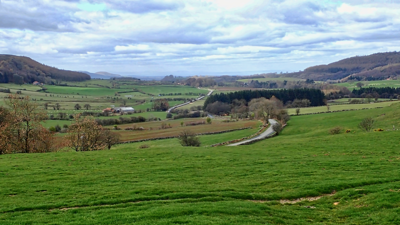
Kildale
As viewed from Percy Rigg Farm. A fertile green valley with Park Nab on the left and Coate Moor on the right. J. Fairfax-Blakeborough writing in 1901 in his book ‘Great Ayton, Stokesley & District, past and present’ recounts that Satan was often seen poaching in the dale with his imps. The gamekeeper, a Stephen…
-
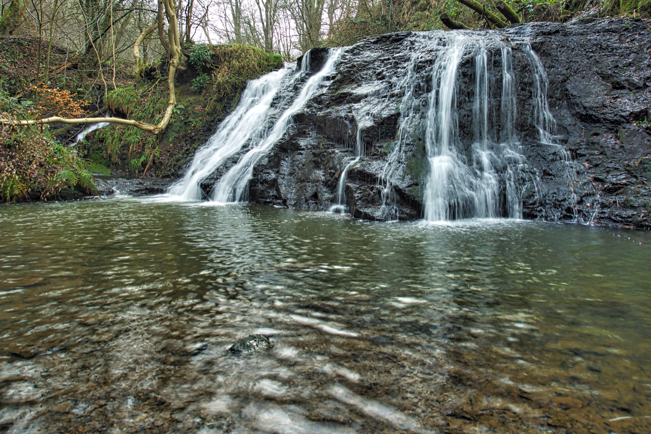
Old Meggison
Usually, mornings are my best time of the day. Of late, however, my morning stroll has been in the damp and cold followed by an ever brightening day long after my post lunch torpor and sluggishness has set in. Another revisit today. Old Meggison, a lovely little waterfall on the River Leven in Kildale. It’s…
-
A view from Turkey Nab across lower Kildale
Earlier this year, on January 29 a dead buzzard was found “on top of a dry-stone wall, next to a layby on the Kildale to Commondale road near Percy Rigg”. The RSPB and the police were informed and the bird was sent off for toxicology tests which came back in July saying the likely cause…
-
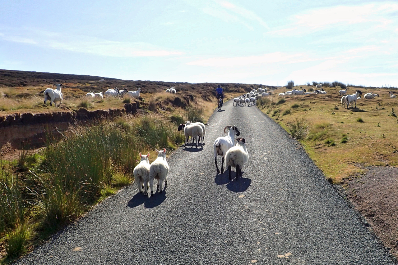
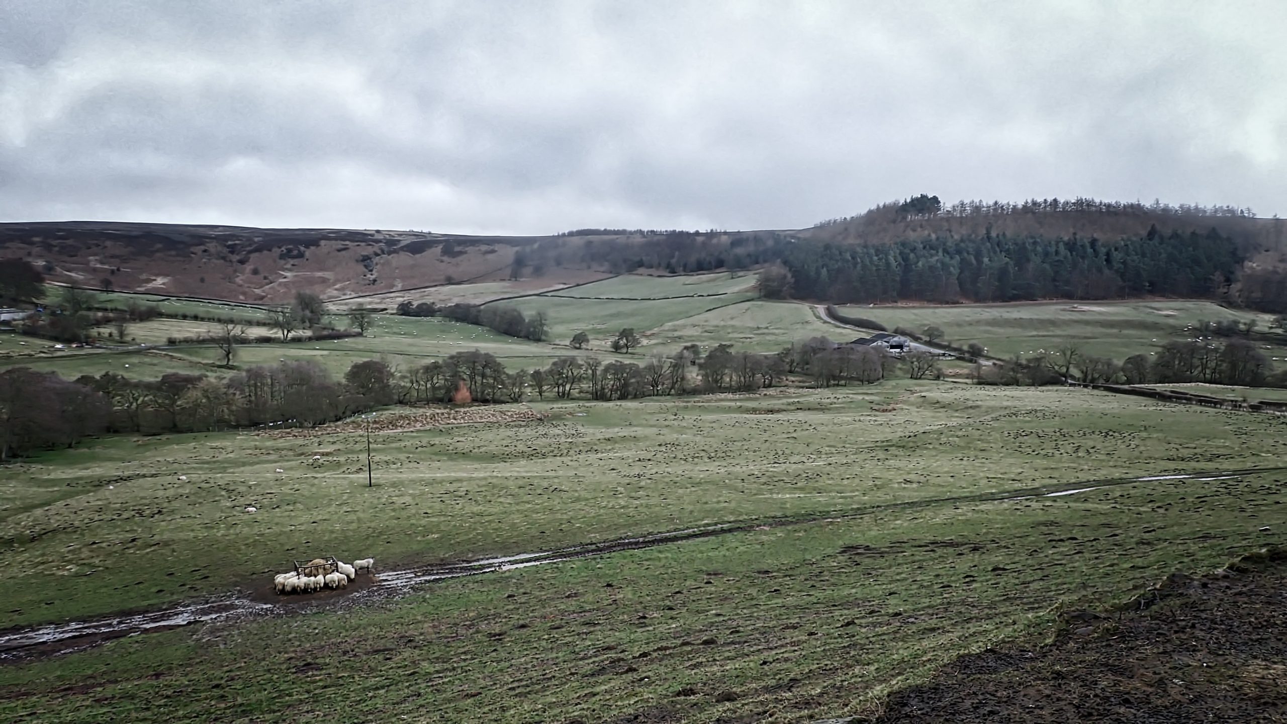
Lamb Jam on the Baysdale Road
Gathering the sheep. We had just overtaken the farmer working his dog. Not sure why though. The ewes were already shorn. Open Space Web-Map builder Code