Category: Scotland
-

From Riot to Rainbow Bunting
Killing time before the Aberdeen ferry, we turned a corner in Lerwick and walked straight into their Pride March. Shetland, June 2026. Granite streets, rainbow bunting, children playing snare drums under a rain-filled sky. A reminder that this all started somewhere very different. The first Pride was not a parade. It was a brawl. On…
-
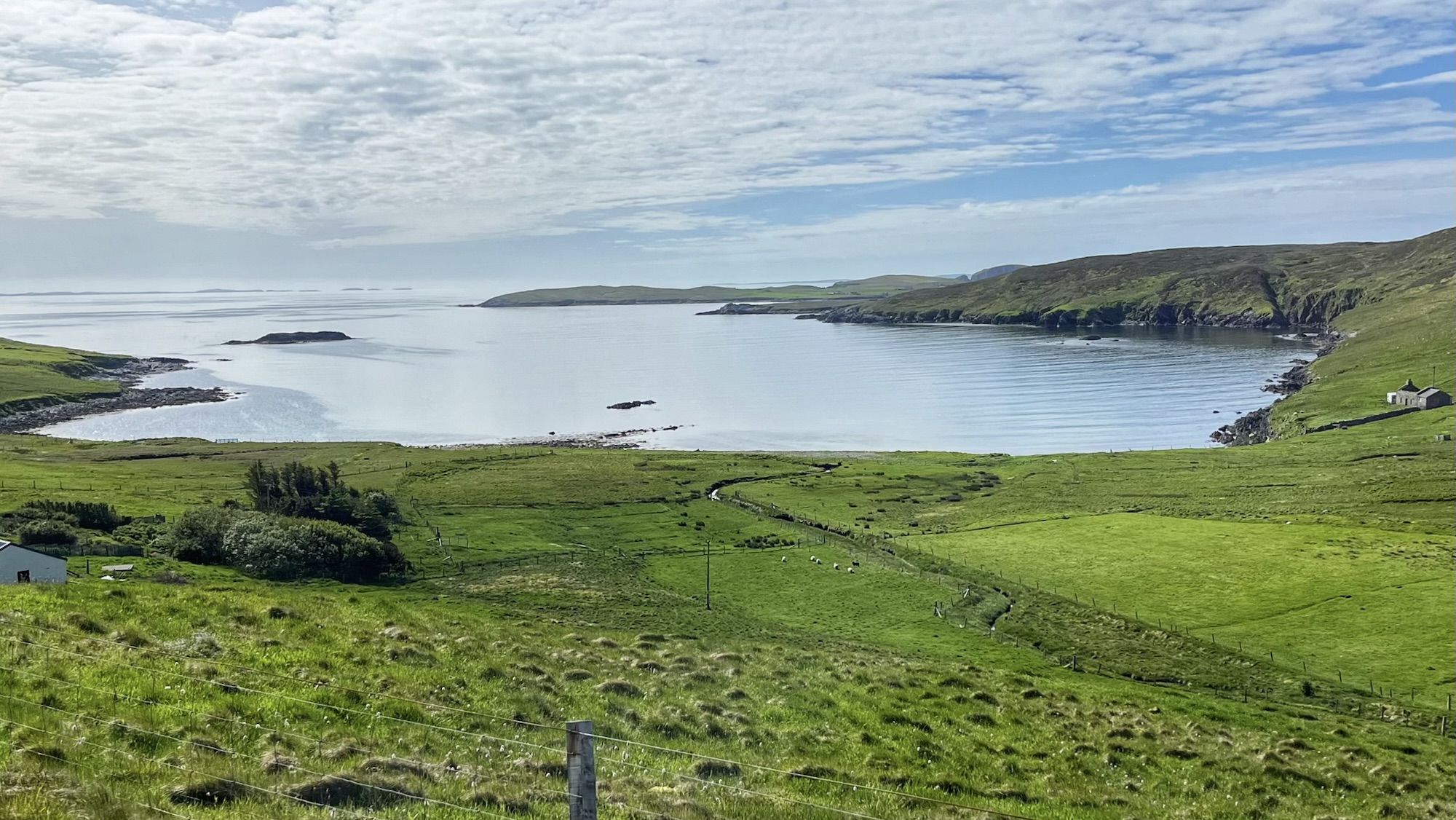
Ling Ness
Our last day on Shetland. It started wet, because of course it did, then turned rather nice — because Shetland seems to do exactly as it pleases. A tad breezy, mind. Those wind turbines on the Hill of Flamister stood completely still on the horizon, shut down to stop themselves tearing apart. The very thing…
-

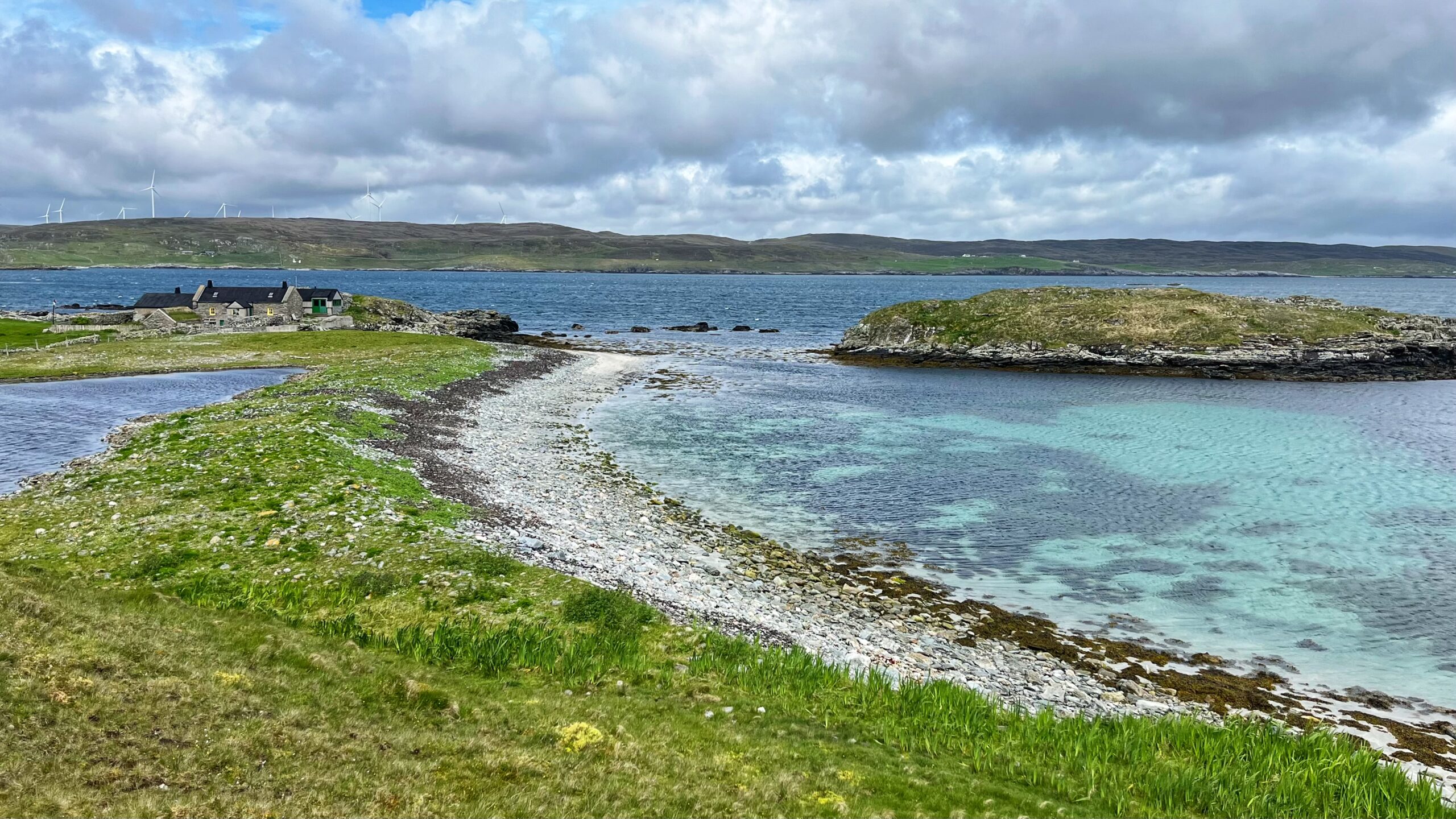
Ayre of Billigroot: The Law That Scotland Cannot Kill
I bought a 1956 guidebook off eBay. It was a good decision. It mentioned a beach at Stavaness with “almost spherical granite boulders.” That was enough. The likely candidate was the Ayre of Billigroot, though calling it an ayre is generous. The word comes from the Old Norse “eyrr,” meaning a gravel beach. The Vikings…
-

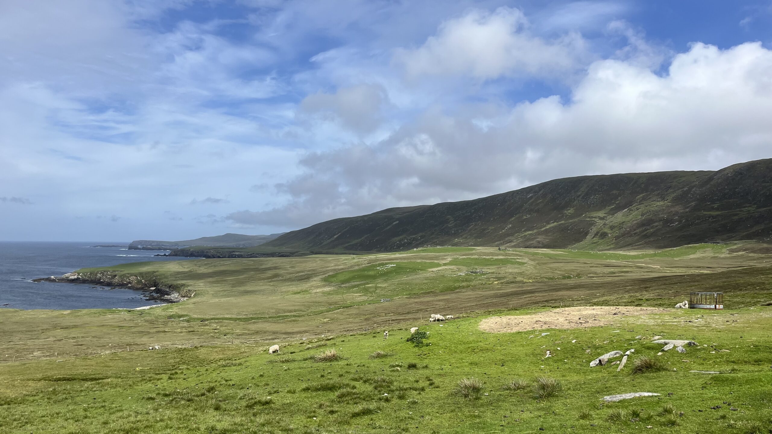
Lunna: the Truck System, the Oldest Kirk and the Secret War
Lunnasting drives a wild, rocky finger of land deep into the eastern mouth of Yell Sound. The men who lived here were something rather more than fishermen. “Never spaek o da Lunnasting men” — the old saying said it all. They were beyond ordinary reckoning. That narrow strip of land is all that keeps Lunna…
-
Otters Wick: The End of the Bohus
The tranquil waters of Otters Wick hides a tragic history. In the above photo, Black Skerry sits darkly left of centre; just out of shot to the left lies the jagged headland where the steel barque Bohus was lost in April 1924. The tragedy came down to a single, stupid mistake. Seeking a bearing in…
-

Planticrubs: Shetland’s Ingenious Stone Nurseries
Looking south over the village of Burravoe on the island of Yell, a planticrub sits on the hillside like a small, collapsed fort that never quite finished deciding what it wanted to be. These dry-stone enclosures are scattered across Shetland in their hundreds, most of them abandoned. They look like the ruins of huts. They…
-

Gloup Voe: The Day the Voe Went Silent
Look at Gloup Voe now. Serene. Quiet. Almost insulting in its calm, given what happened here on 20 July 1881. My previous post covered the haaf fishing station at Fethaland, but the station at Gloup is something else entirely. That Wednesday morning, the North Yell fleet put out into what the men called a “day…
-
Vallafield — Where the Trows Lost Their Tune
The name tells you everything. Old Norse: ‘völlr’ for level ground, ‘fjall’ for hill. Between a craggy ridge and sea cliffs sits a narrow platform, barely a kilometre wide, which is precisely what you get. The name nowadays though is usually given to the high point on the ridge, the second highest on Unst. Now…
-

Glettna Kirk: A Church Nobody Finished
Shetland has no tidy villages. The communities bleed into each other, and a visitor who tries to pin down where one ends and the next begins will give up before long. Unst is no exception. Which makes Glettna Kirk easy to miss. Just outside what passes for the edge of Uyeasound, beside the road, a…
-

Muness Castle: Power, Corruption and Impunity. Sound Familiar?
Two Shetland ponies graze in front of Muness Castle, Unst, on a grey June afternoon. The castle has looked like this for quite some time. Laurence Bruce built Muness Castle in 1598. He was half-brother to the Earl of Orkney, sheriff of Shetland, and by most accounts an absolute tyrant. The Privy Council found him…