Tag: track
-
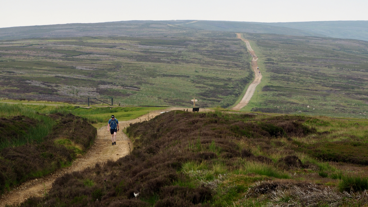
Rudland Rigg
I have often wondered what the old medieval roads across the moors were like. The temptation is to imagine they were similar to modern access roads but these have had the benefit of contemporary maintenance techniques with hydrocarbon fuelled machines. I think pot-holes and deep mud would have been the norm. Route were north-south, following…
-
Haswell’s Hut
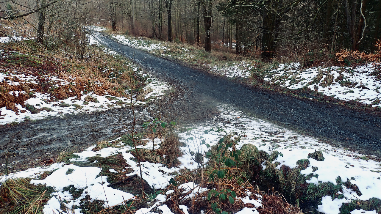
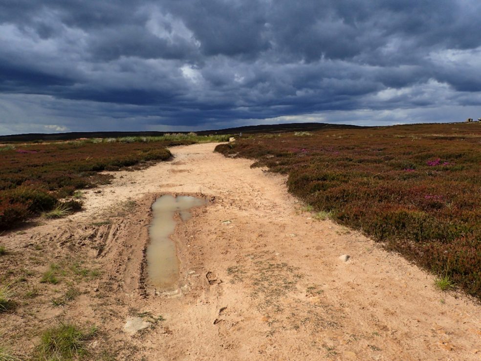
Dull, overcast, and menacing rain. The blue skies over a snow blanketed moors seem an age ago. ‘Haswell’s Hut (Site of)’ is a feature named on the 1856 Ordnance Survey map that has intrigued me for some time. It is shown as just south of the Spot Height of 714 feet and east of the…
-
‘A Wild Year’
Did you watch ‘A Wild Year‘ on BBC2 on Friday evening, featuring the North York Moors? It’ll be available on iPlayer for a while. I was left feeling disappointed. The filming was superb of course, slow motion and time lapsed, the usual BBC quality, but when it came to the inevitable section on grouse management,…
-
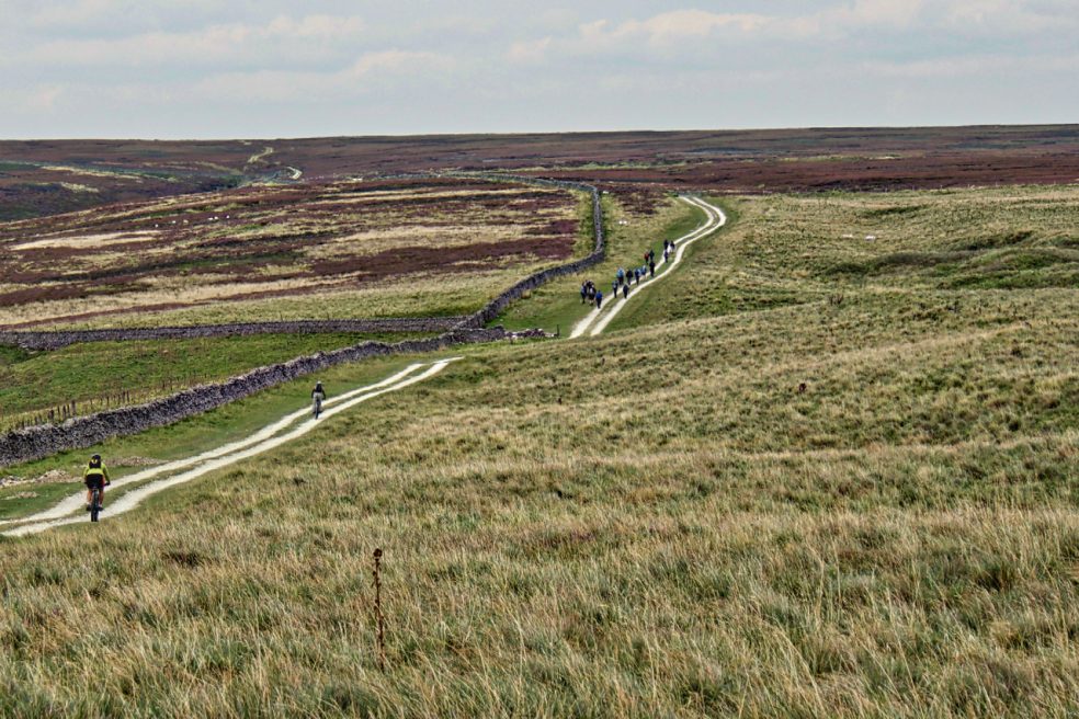
Nab End Moor
It’s been a while since I popped into Tripsdale, a wonderful remote valley though a lack of paths and a dense covering of bracken made a crossing exhausting. There’s a lot of water around, becks are full. Mist clung in the valleys but blue skies broke out on the tops. This is Nab End Moor…
-
Aireyholme Lane
Aireyholme Farm from the south-eastern flank of Roseberry with the Cleveland Hills in the distance. The view is looking down Aireyholme Lane with the course of the old narrow-gauge tramway from the Roseberry Ironstone Mine to its left. Just before the tree, the tramway took a sharp right and headed across the fields to the…
-
Church Way, Ainthorpe Rigg
I often find I visit a stretch of moor that I haven’t been to for years then, a short time later, I’m back on that very same moor. So it was today, I found myself back on Ainthorpe Rigg, and on the Old Hell Road, the old corpse road. This would have been the final…
-
Broughton Bank
Dull muted colours with a splash of vibrancy
-
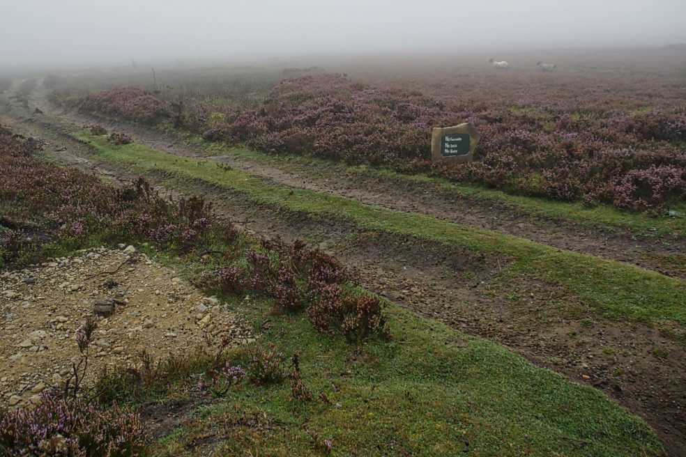
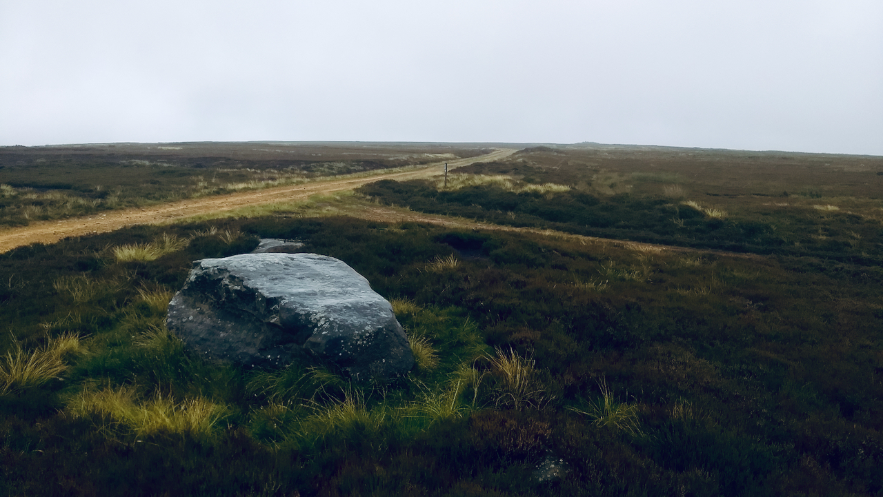
Kempswithen
With low cloud shrouding the North York Moors I had to dig into my bank of “bad weather” ideas. Earlier this year I recalled seeing a large new sandstone “PRIVATE NO ACCESS” sign which I thought a bit over the top. So I headed for Kempswithen, the site of a 18th-century agricultural experiment but now…
-
Hambleton Street
The ancient drovers’ route along the western edge of the North York Moors. A route that probably has been used since prehistory. The name “street” implies Roman usage and it’s mentioned by name in a document of 1577. Traffic peaked in the 17th and 18th centuries when herds of cattle were driven from Scotland to…
-
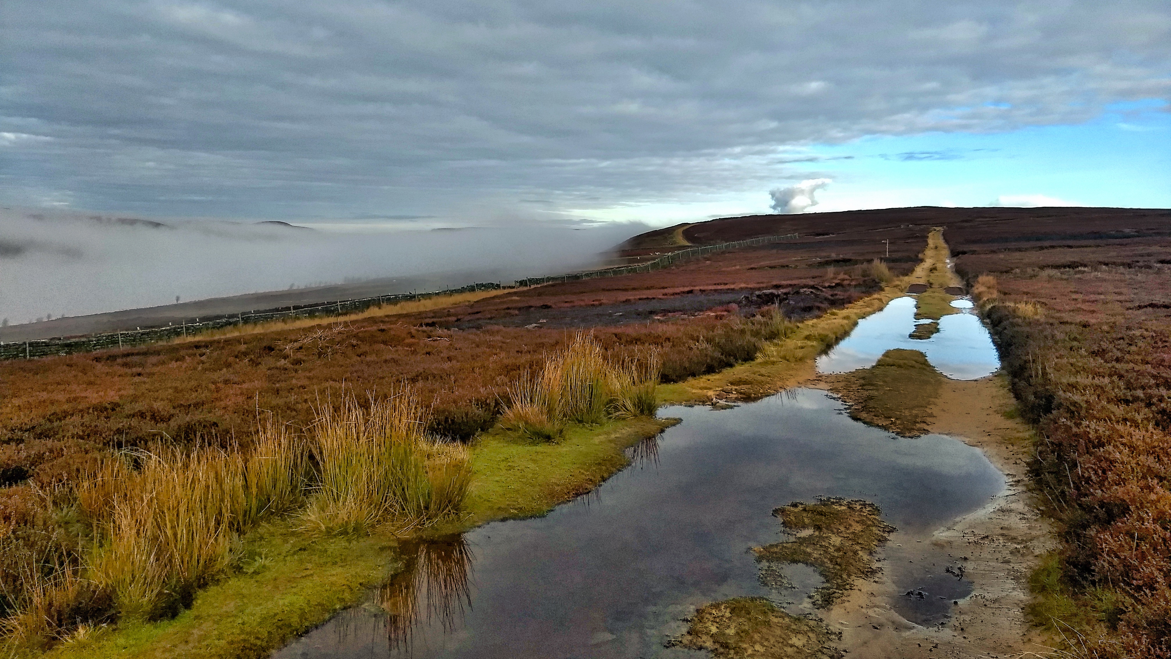
Sunshine and Grey Skies
An ugly scar across the heather moor of Carlton Moor, the yellow sandstone of the track accentuated by the threatening skies. The track is typical of estate roads all over the North York Moors providing easy access for the shooting parties. This track though was probably built by the glider station which used to operate on Carlton…