Tag: heather
-
Carr Ridge and Hasty Bank
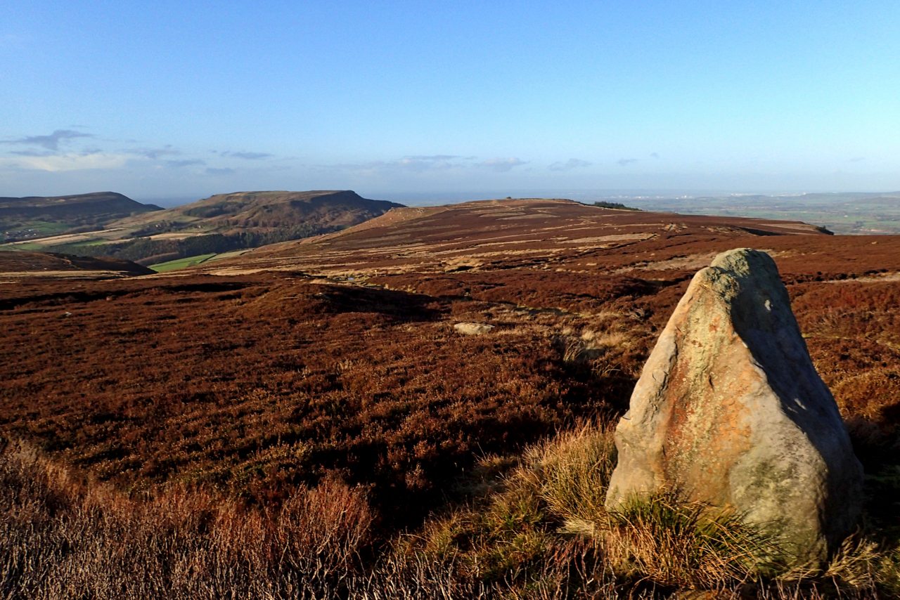
A menhir or standing stone on Urra Moor right next to the Cleveland Way. I suspect this stone has been erected in modern times simply because I can find no mention of it which I am sure there would be if it was indeed historically significant. As it is it gives a good foreground to…
-
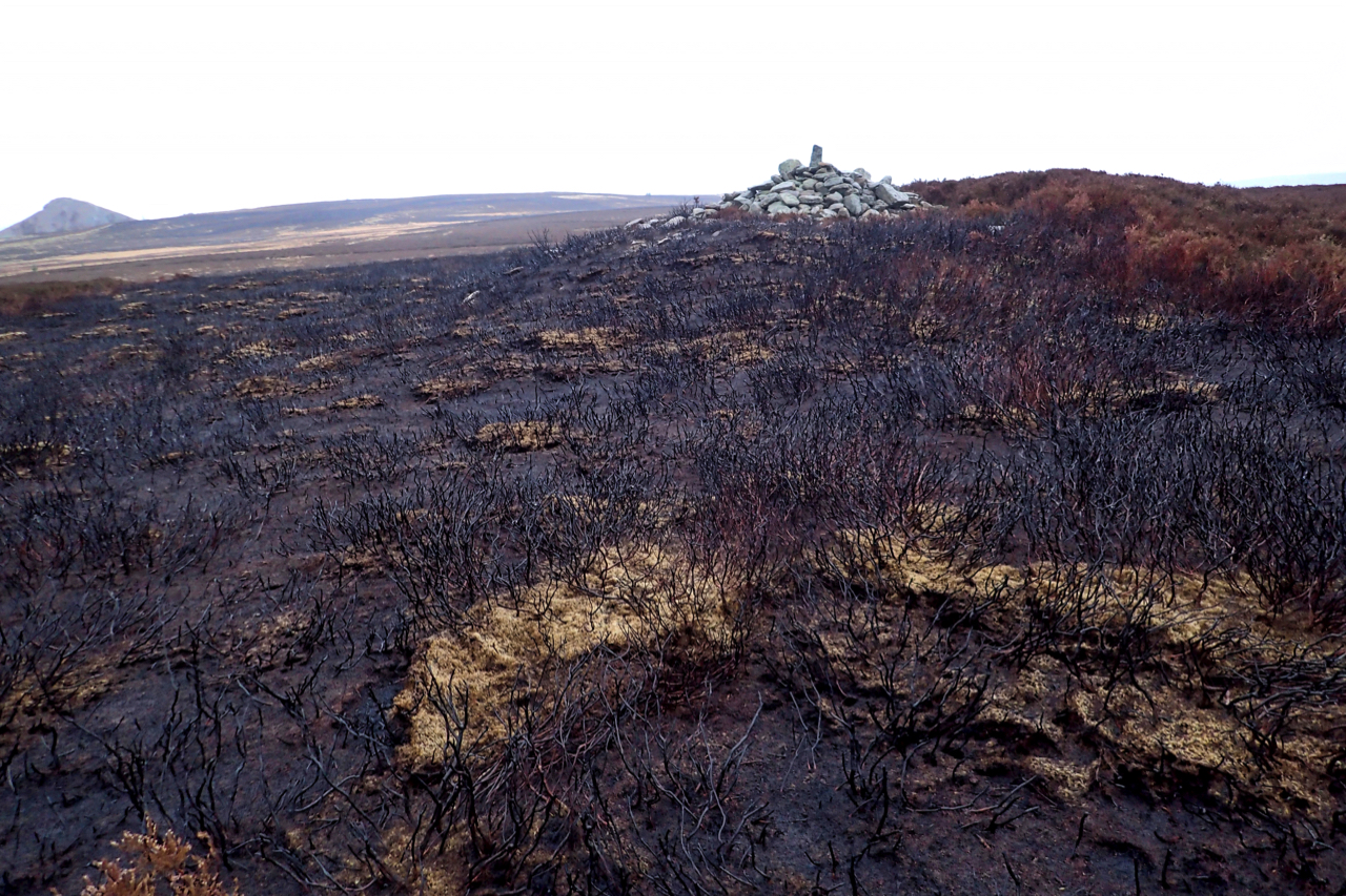
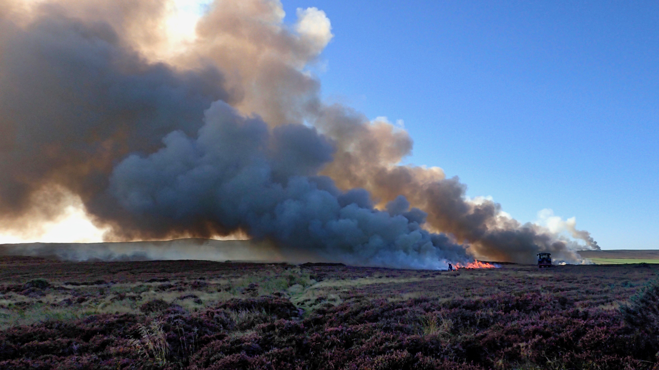
Bronze Age Round Cairn on a scorched moor
Sunday before last (18th) was a glorious November day. Blue skies, little wind with many walkers taking to the moors. I recall standing on Cliff Rigg and noticing the number of folk on Roseberry. But the scene was marred by dense black smoke coming from the direction of Newton and Great Ayton Moors. The periodic…
-
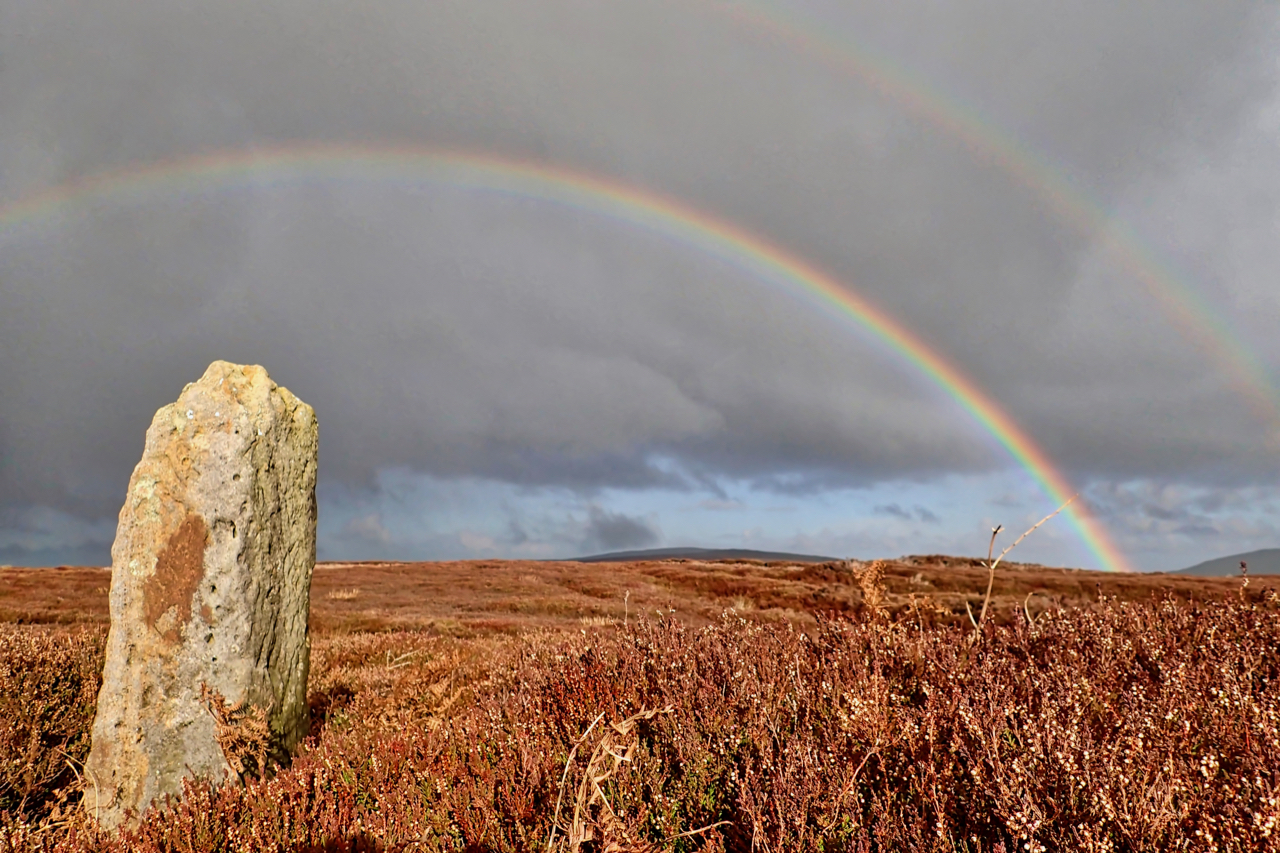
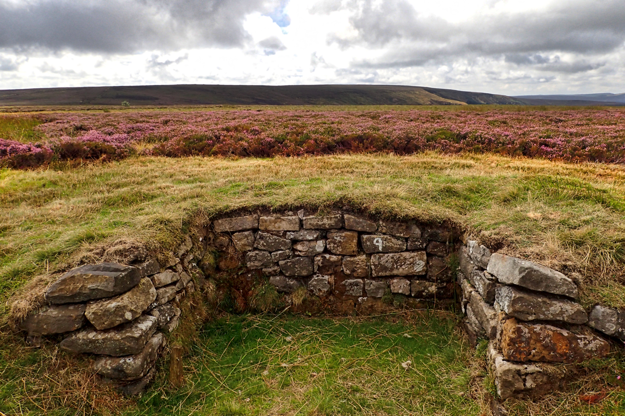
Stony Wicks Boundary Stone
A morning run up Scugdale and over to the Lords Stones, where I was to meet my wife. “Did you see the rainbow?”, she asked. Wanting to avoid pedantry I replied I had but I could have said: “no, but I saw a rainbow”. I took a photo of it and this is it. It…
-
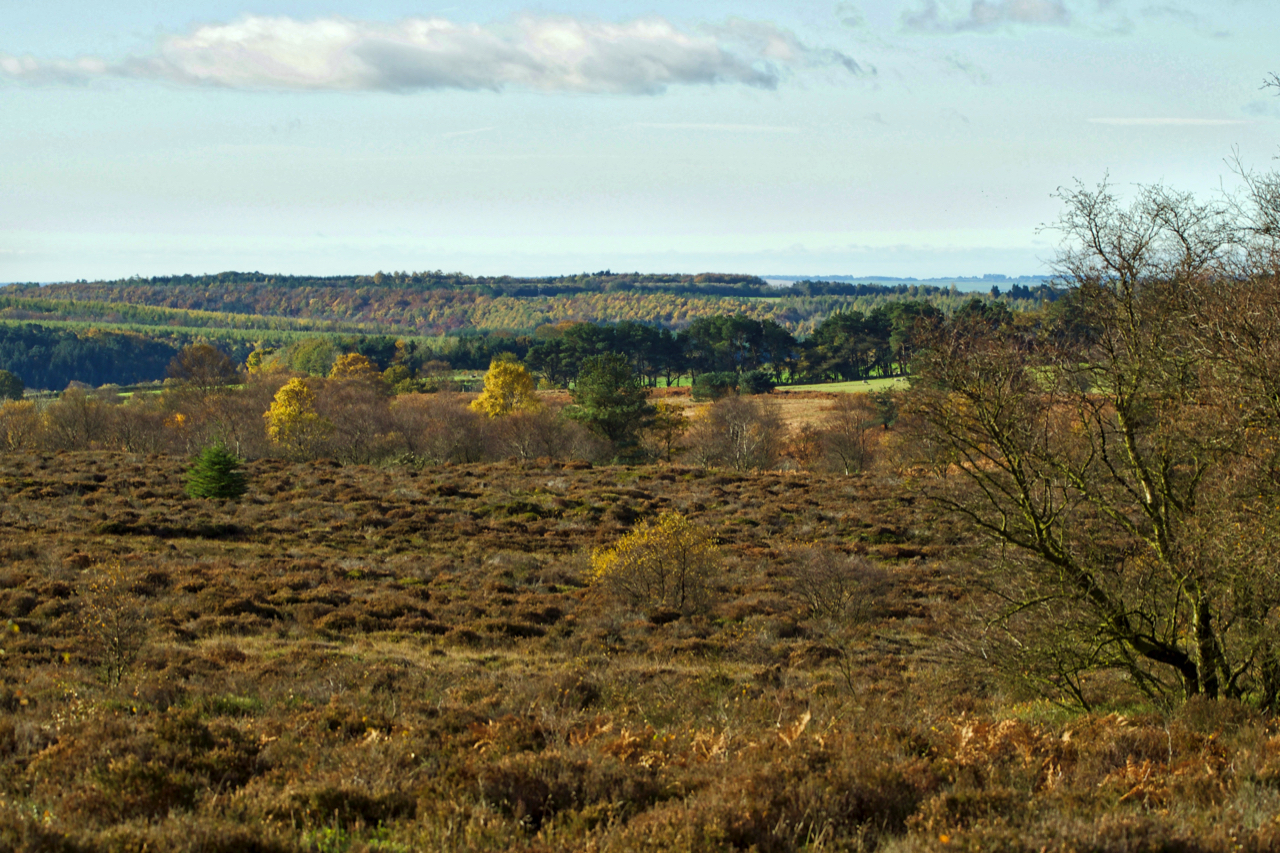
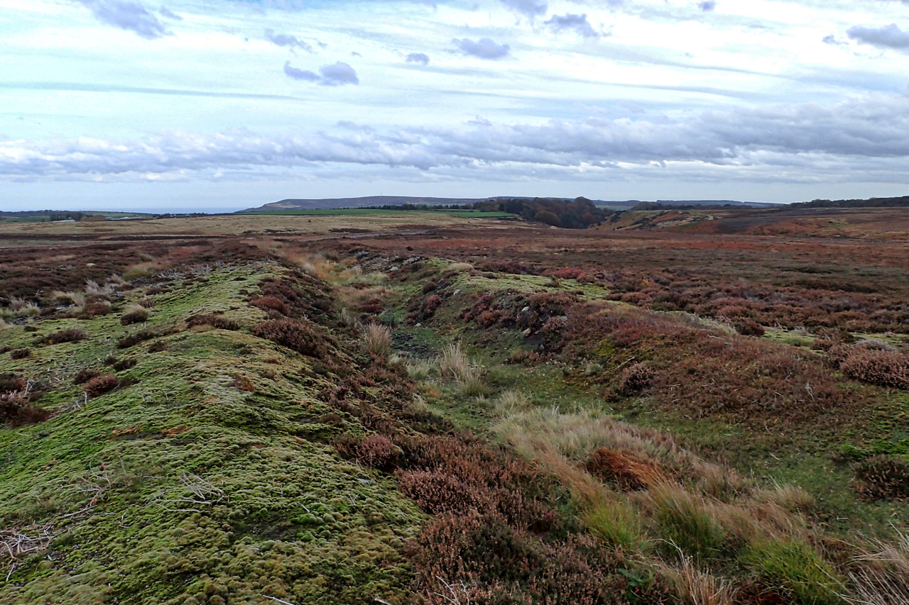
Bridestones Moor
The National Trust’s rare area of heather moorland just north of Dalby Forest. Rare because it is not intensively managed unlike most of the rest of heather moorlands on the North York Moors which are managed for one purpose only, that is to maximise the breeding of grouse for shooting, in spite of having the…
-
Moor burning, Stanghow Moor
The Farming Today program on BBC Radio 4 on Wednesday covered moorland management (it’s available here as a podcast for 28 days). On it was a representative from the Moorland Association who said that rotational burning of grouse moorland had been “voluntarily suspended”. If you are not aware, rotational burning is the practice when our…
-
Prehistoric cross dyke, Fylingdales Moor
Fylingdales Moor is a huge area of heather moorland owned by the Strickland Estate but managed by the Hawk and Owl Trust as a conservation area using “traditional moorland management techniques”. The moor contains many archaeological features. The largest is this prehistoric cross dyke, three parallel ditches with earthbanks between, 780m long. Often the uniformity…
-
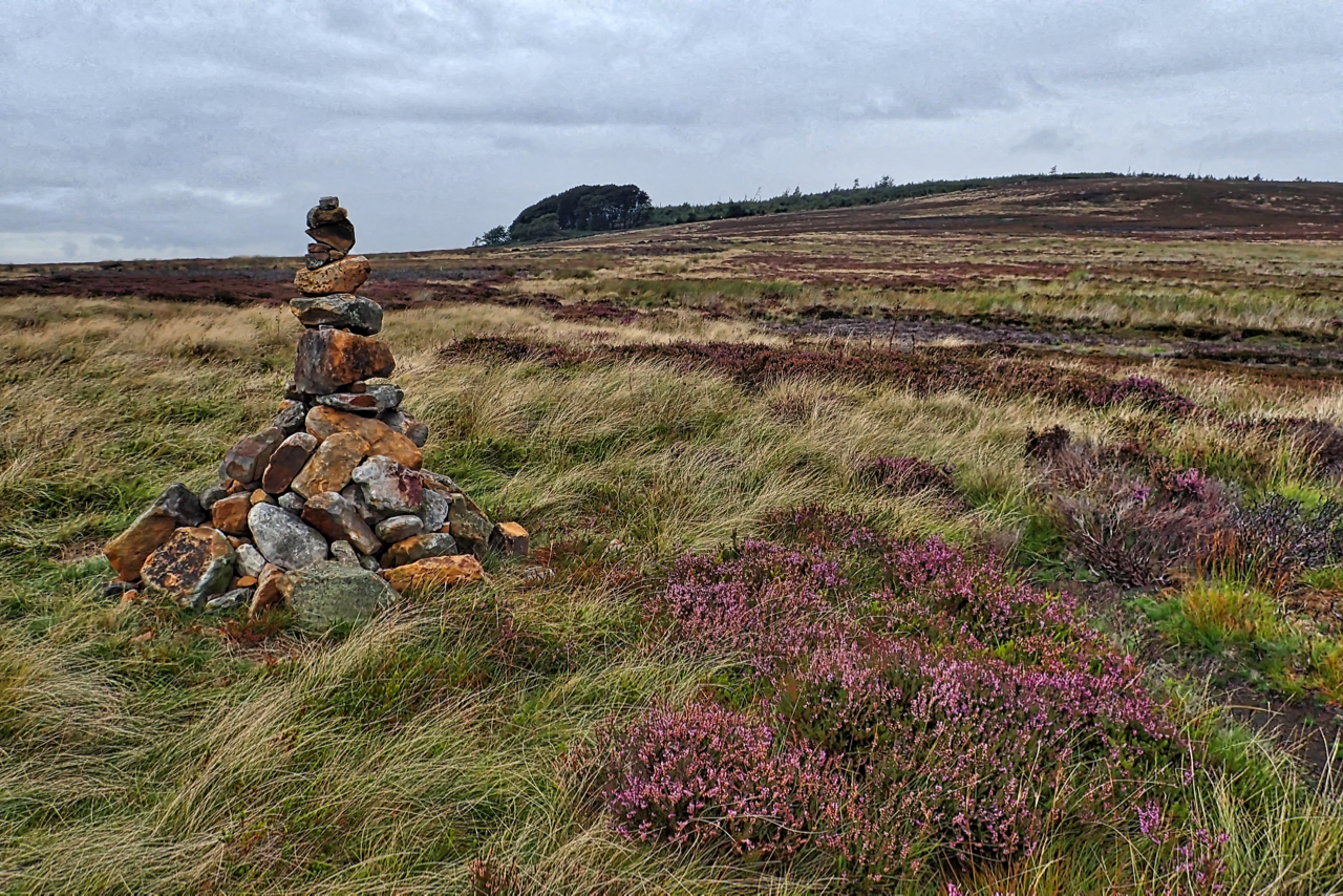
Potters Ridge
On Codhill Heights looking up towards Potters Ridge. A precarious cairn. One of a pair, both newly built. First time I have seen them. The moorland is part of the 3,460 acres of grouse moor owned by the Baron Gisborough whose farms received £89,278.37 under the Common Agricultural Policy (CAP) in 2016. Open Space Web-Map…
-
One of The Three Sisters
A late evening view across to Easby Moor from above Turkey Nab. The 1857 Ordnance Survey map names this spring as The Three Sisters (one of). Her other two sisters are each 500m away to the north and south-east. This spring now flows into a covered concrete tank surrounded by a rickety fence but the…
-
First day of the grouse shooting season
The first day of the grouse shooting season so I took in a circuit via Urra and Greenhow Moors in the hope I might come across a shoot. It is not the “Glorious 12th”, of course, that was yesterday but being a Sunday the start is postponed for a day unless you are in Scotland…
-
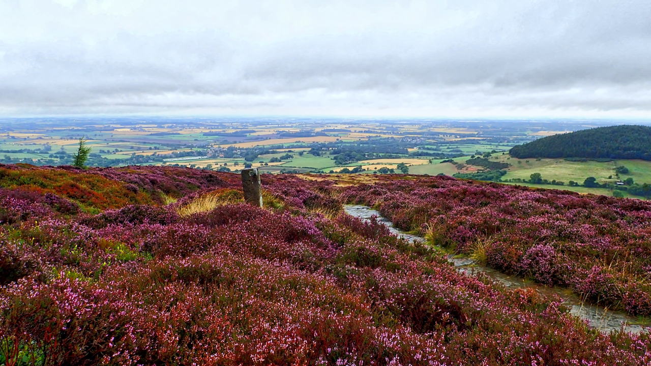
On Faceby Bank
There’s only a week or two of the purple haze so I have to make the most of the heather, providing some colour on a wet morning when the horizon is lost to the mist. The view is down to Swainby with wooded Whorl Hill on the right. Open Space Web-Map builder Code