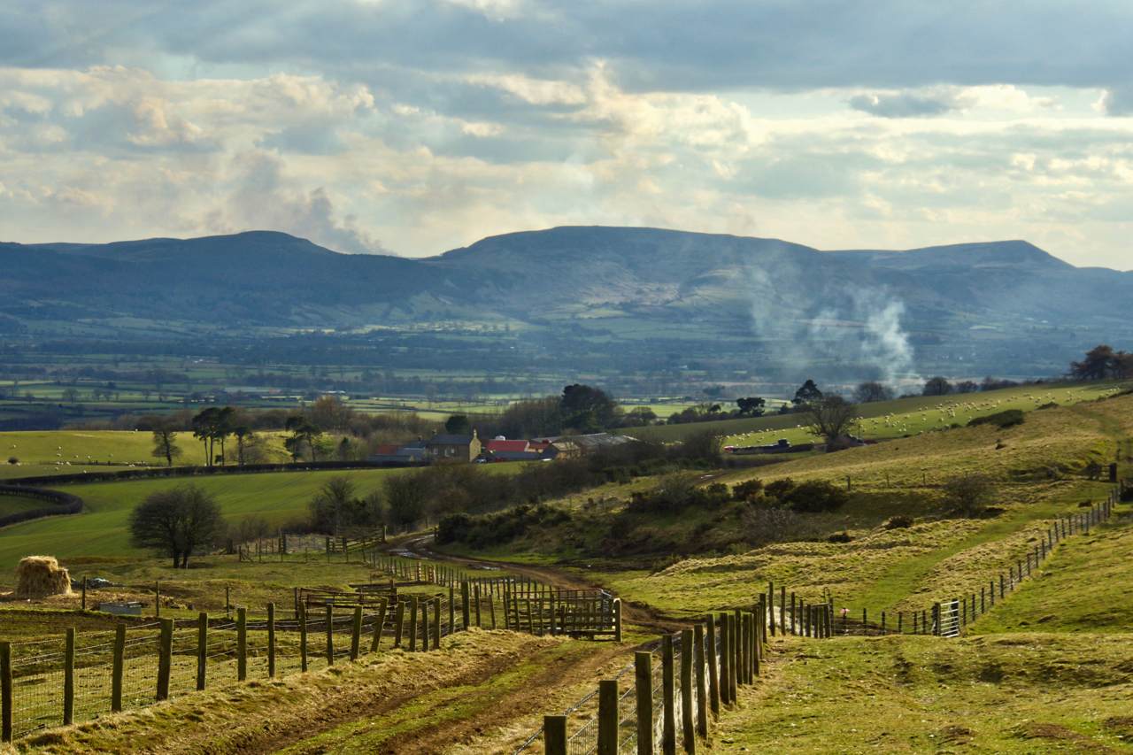
Month: March 2018
-
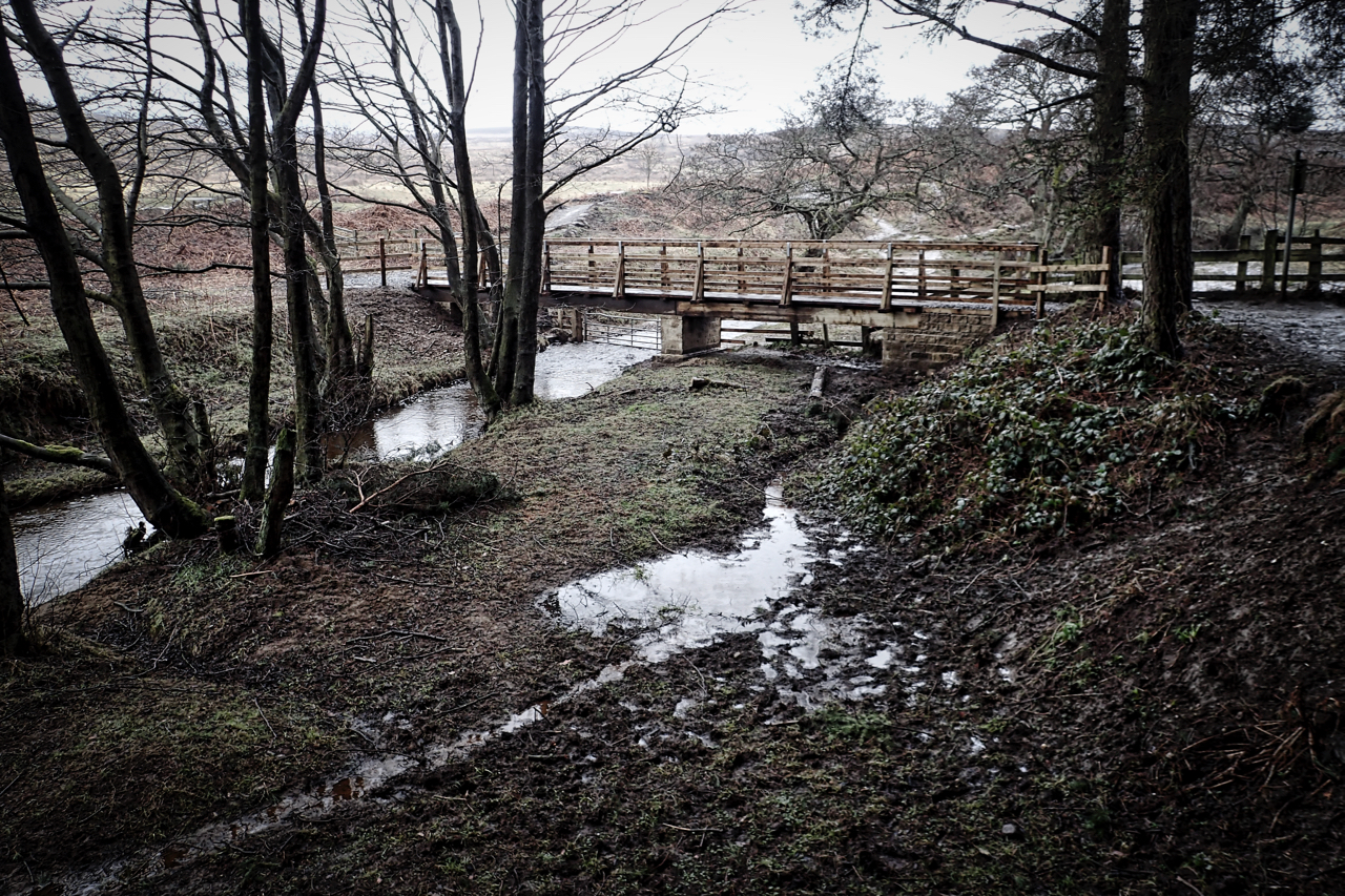
New bridge over Cod Beck
It was supposed to be ready for the October half term, last year. But, better late than never, I was pleased to see the bridge in use. I understood the idea was to produce a wheelchair accessible route around Cod Beck Reservoir but the installed kissing gate looks to me to be too narrow. Maybe…
-
Remembering an air-crash on the Eston Hills
77 Years Ago, March 30, 1941, was Palm Sunday. Cheese rationing was announced at just one ounce per week for the general population but manual labourers could receive eight times that, half a pound. In Stavanger, Norway, a German Junkers Ju 88A took off on a reconnaissance sortie over Manchester. It should have been a…
-
High Lidmoor
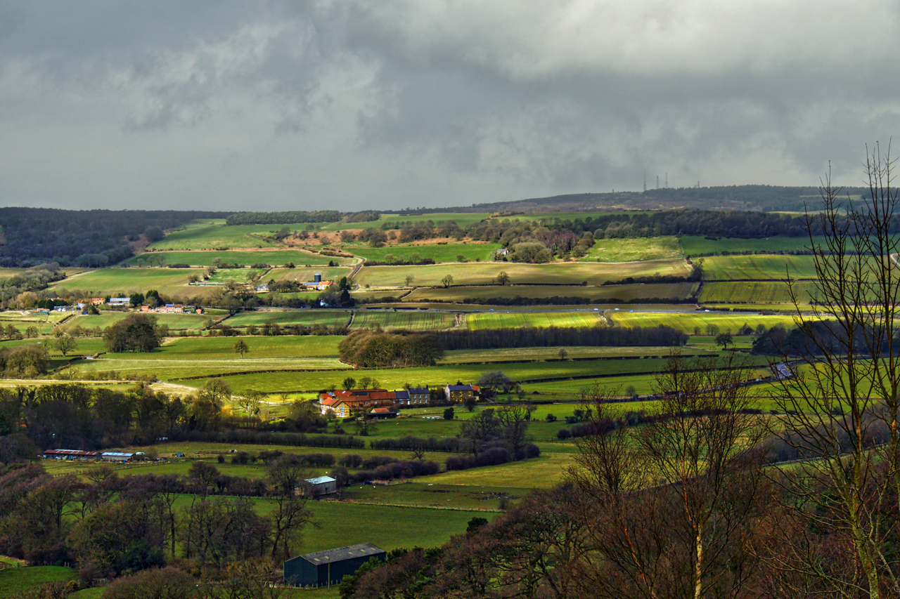
A lovely spring day in Bransdale. Moor Houses, viewed across Shaw Beck from High Lidmoor, an 18th-century farmhouse which is now available as a holiday let for the National Trust. At one time the two sides of the dale belonged to different parishes. This east side of Bransdale was part of the township of Farndale…
-
Codhill Heights Revisited
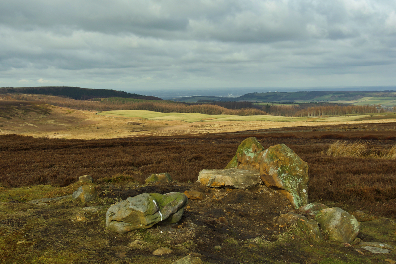
A photo I posted earlier this year was of the round barrow at Codhill Heights, an inconspicuous 296-metre high summit on the ridge behind Highcliff Nab. Over the years a cairn has been built over the barrow which dates to around 2,000 BC. The National Park has now removed this “modern” cairn exposing some original…
-
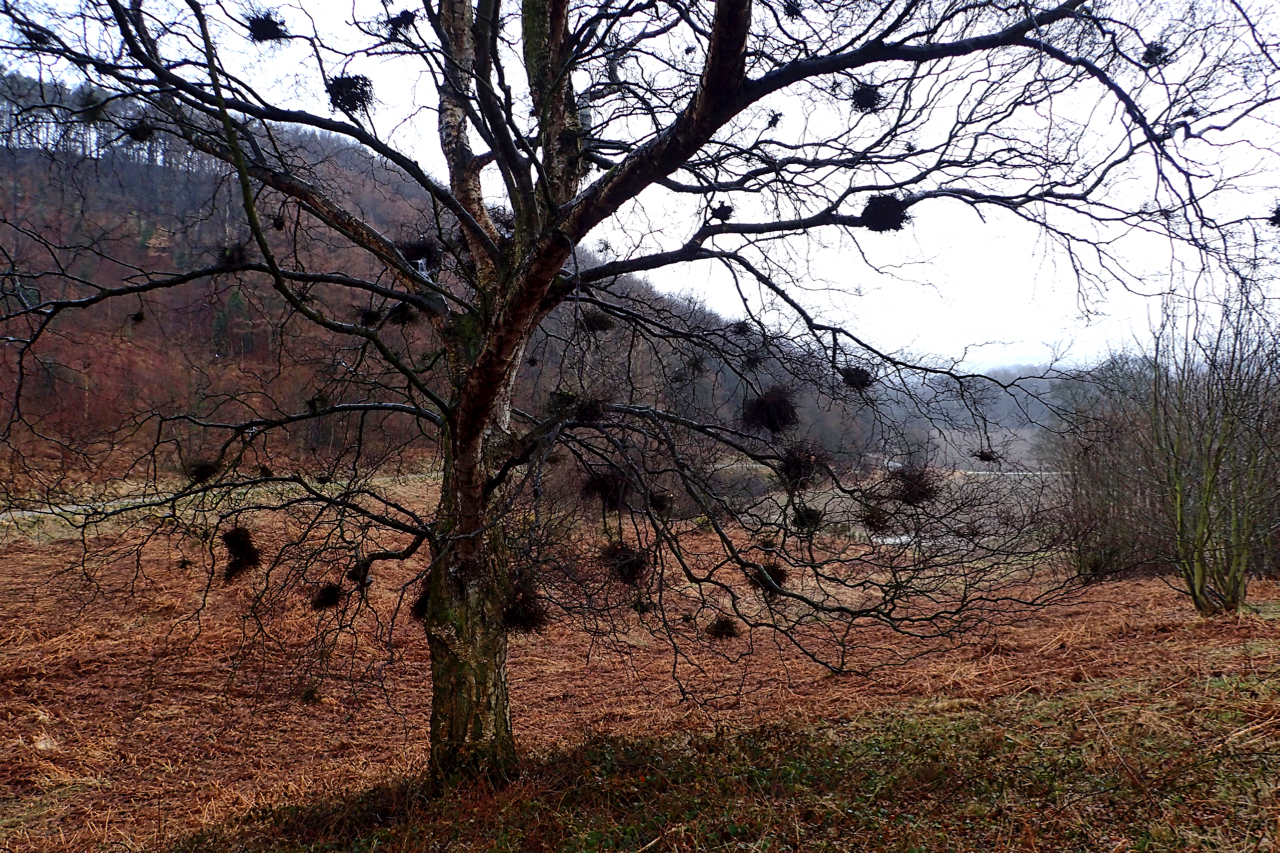
Witch’s Brooms
Harry Potter had a Nimbus 2000 but what Hutton Lowcross lacks in quality, it makes up for in quantity of Witch’s Brooms. This mature birch tree in Bousdale Wood has an abundance of them. Not broomsticks of course but galls, deformities caused from an invasion by another organism. This might be a fungus, insect, virus…
-
Aireyholme Lane
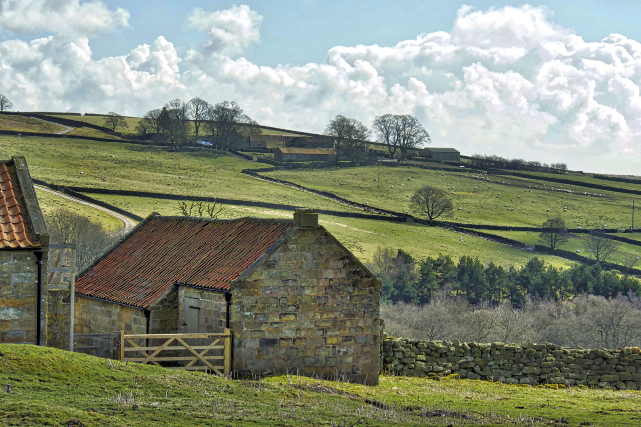
Approaching the site of the Roseberry Ironstone Mine on the south-east flank of Roseberry Topping. Late afternoon, finally spring feels like it has arrived and the fields are beginning to drying out. The buildings, clad in corrugated steel, were located in the field on the left, with the bale of hay. Their concrete bases are…
-
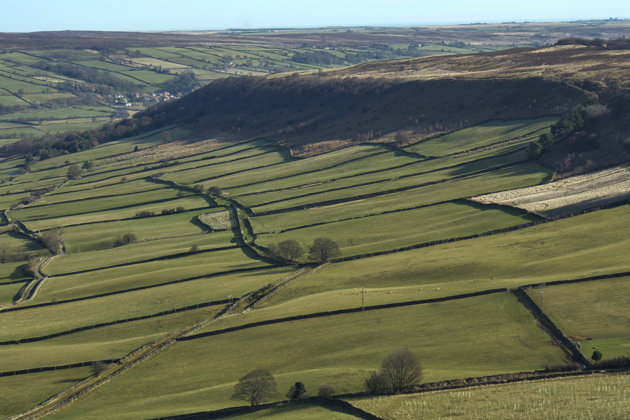
Little Fryup Dale
High Lane, linking the neat fields of the eastern side of Little Fryup Dale escaped designation as a Public Bridleway. The dry stone walls probably date from the late 18th/early 19th centuries when the fields would have been created under the Parliamentary Enclosure Acts. On the west side of Heads, that separates the dales of…
-
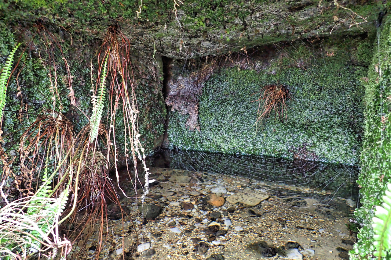
St. Mary’s Well
I have called this St. Mary’s Well. It is a name referred to by the archaeologist Roland Close in his report on his excavation of the Iron Age huts on Percy Rigg. Unfortunately, I have not been able to read his report published before the days of the internet. A copy has been requested but…
-
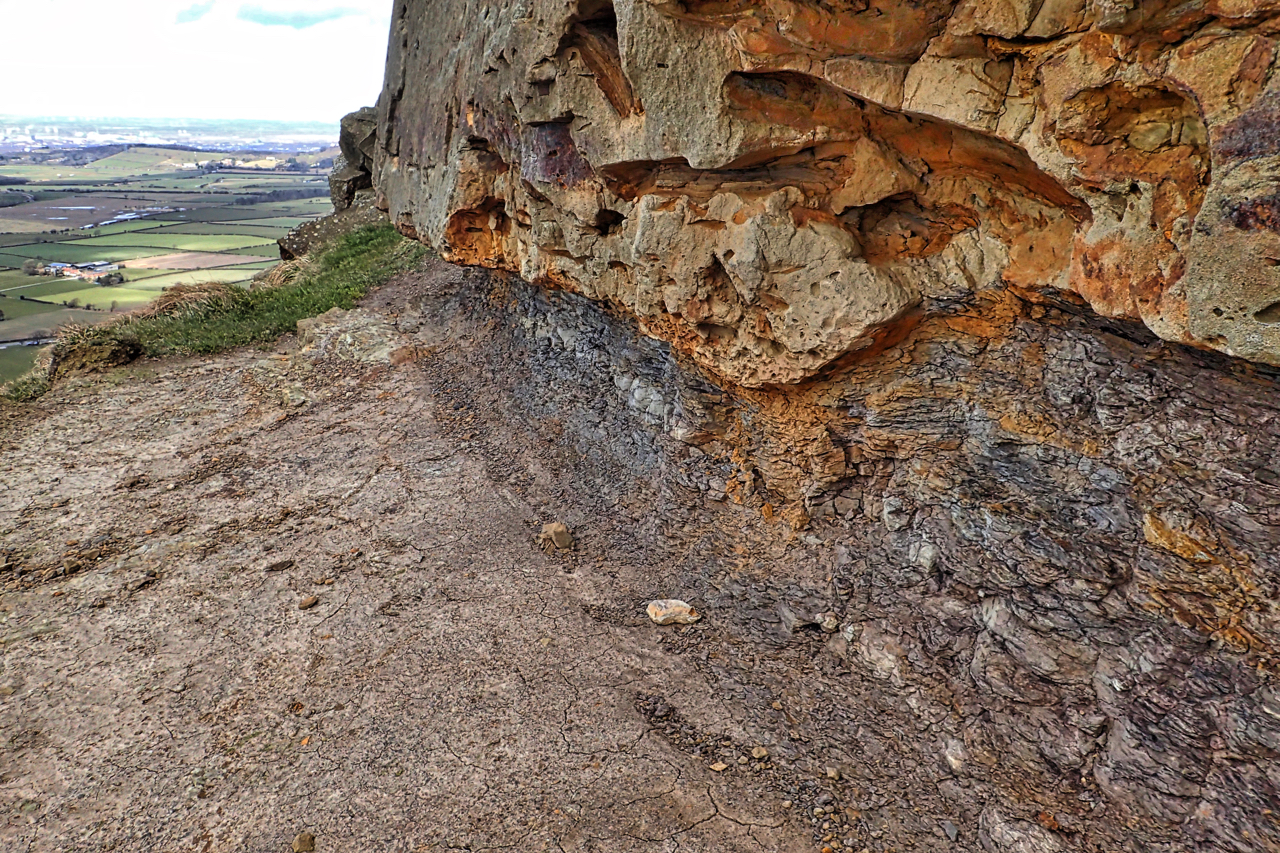
Roseberry Plant Bed
On this day, in 1769, William Smith was born in Oxfordshire. In later life, he moved to Scarborough and became known as the Father of Geology. But I jump too far ahead. He became a canal engineer and thus became very familiar with the rocks encountered in constructing cuttings for canals in the Midlands and…
-
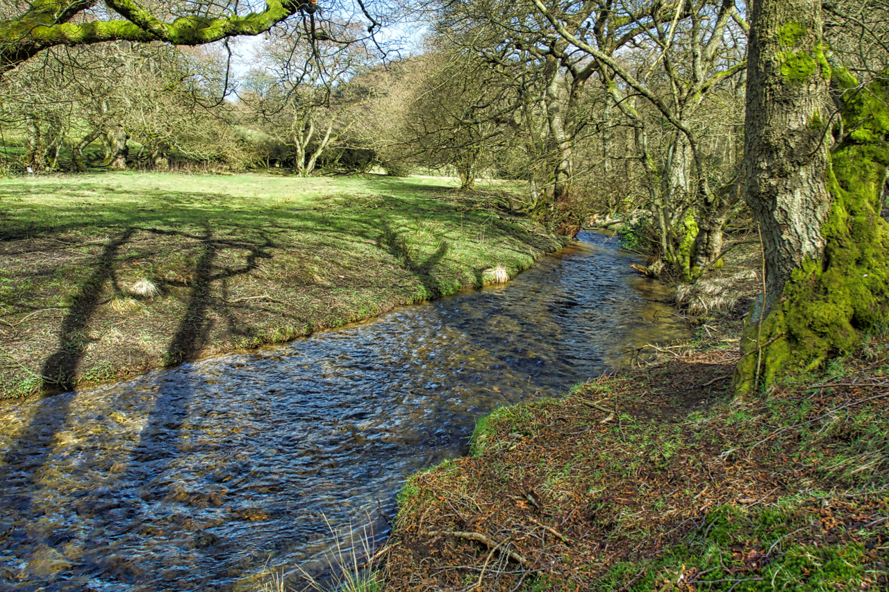
Staindale Beck
On what must be the warmest day of the year. Sunshine and the peaceful bubbling of the stream. A lotic moment at Low Staindale in Dalby Forest, time out while helping with some fencing for the National Trust. Open Space Web-Map builder Code