Category: Greenhow Moor
-
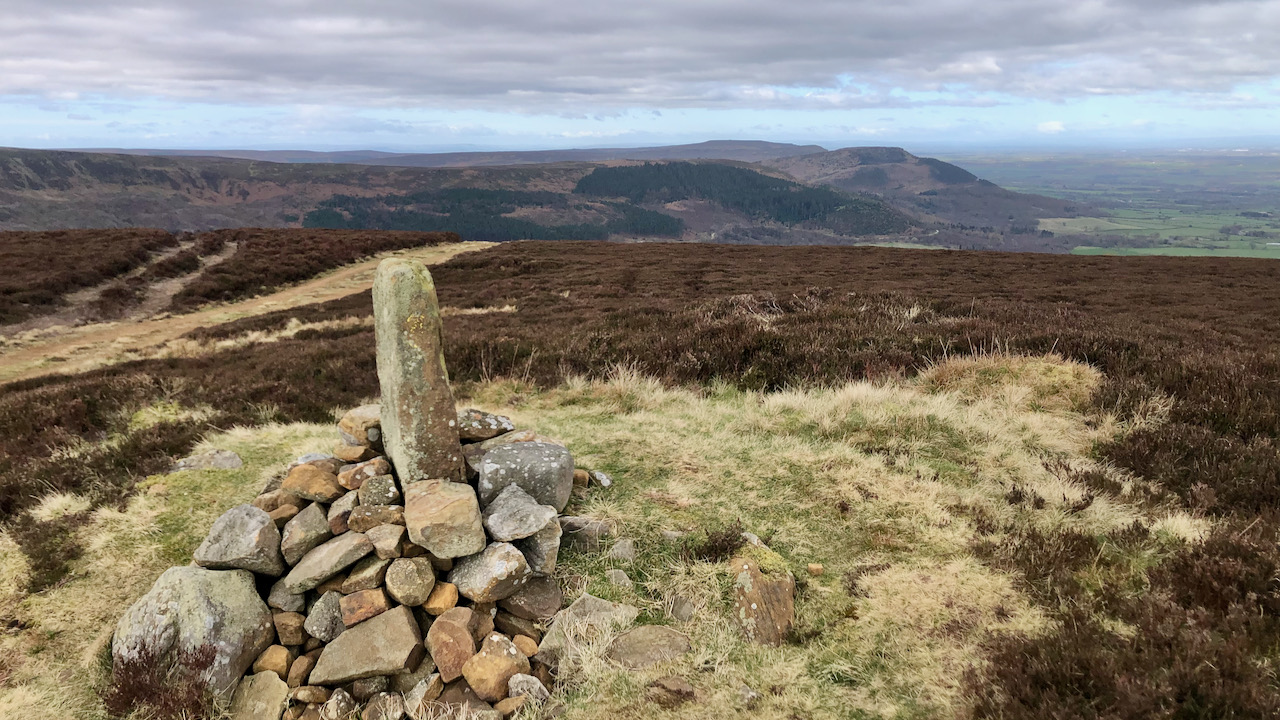
Burton Howe — A Bronze Age round barrow
Just adjacent to the Cleveland Way, as it slogs its way along the landrover track on Greenhow Bank, lies Burton Howe, topped with its medieval parish boundary marker stone. Perched at an elevation of 433 metres (1,419 feet), it affords a splendid view of the Cleveland Plain, stretching westward along the line of the Cleveland…
-
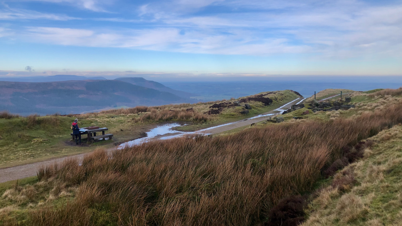
Siberia on the Moors — A Lost Railway Community
For nigh on seventy years, this exposed stretch on Greenhow Moor, with its splendid panorama of the Cleveland Plain and beyond, served as home for a community of railway workers and their families. Sited at the top of the Ingleby Incline, a cluster of building once stood here, in a location so remote and exposed…
-
Hrímfaxi, the goddess of the night’s horse, pulls her chariot through the dark sky
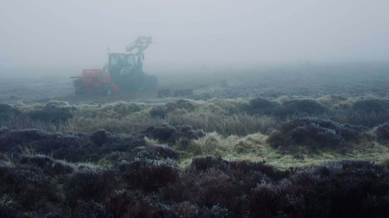
It was pretty bleak on Urra Moor this morning. I had half expected to see ‘The Hagmare of Orrer‘, a witch that was said to roam the moor in the guise of a horse. I had met this beast earlier on Greenhow Moor. The great plow of Watership Down thundering out of the freezing mist.…
-
Today is not Boxing Day
Today might be the day after Christmas Day, the second day of Christmas, but it is a Sunday, Christmas Sunday, and so is not Boxing Day. That is tomorrow. So sayest the Oxford English Dictionary, which defines Boxing Day as “the first weekday after Christmas day, observed as a holiday on which postmen, errand boys,…
-
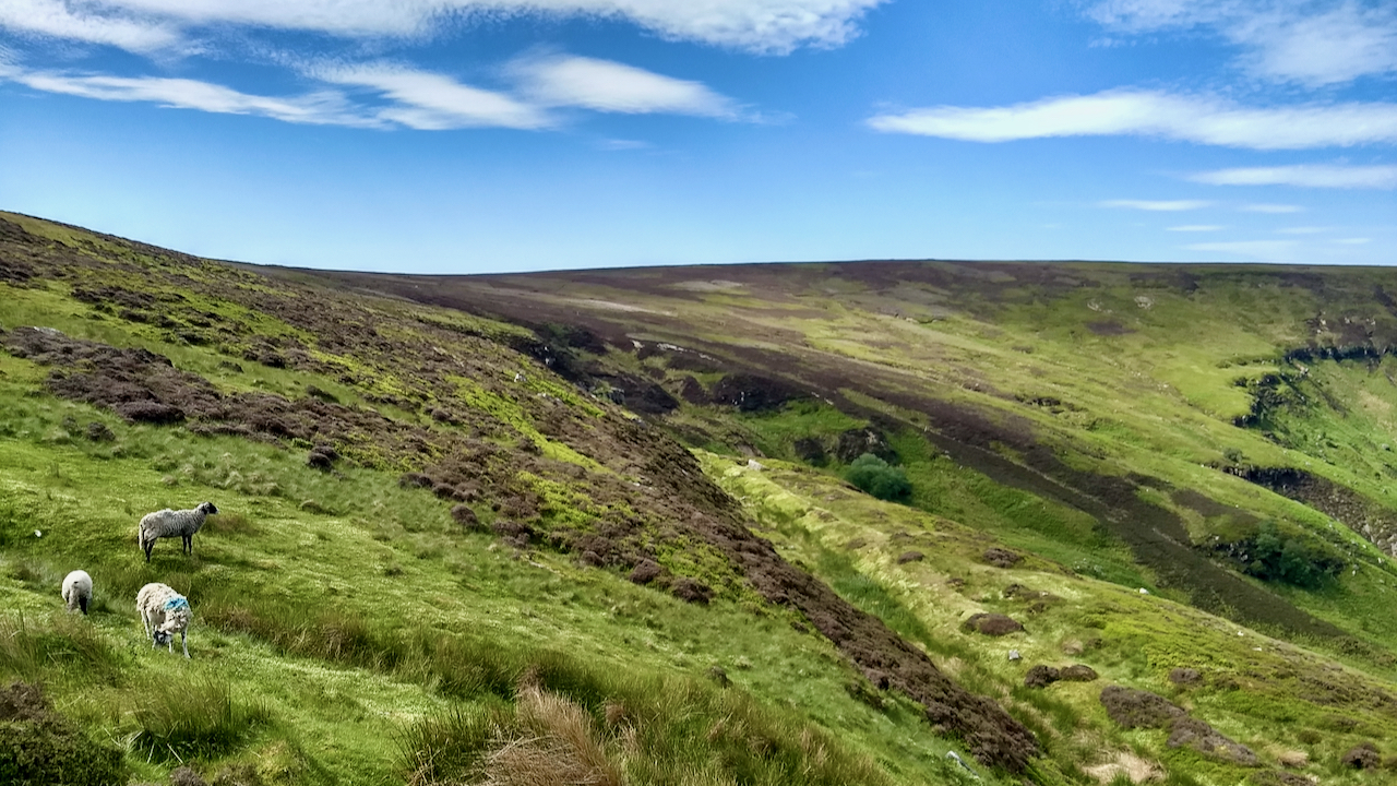
Greenhow Moor, looking towards the old ironstone mine at Rud Scar
On the 16th June 1814, the stagecoach ‘England Rejoice’ set off from Stockton on bound for Whitby. It was the return leg of a new service offering weekly return trips with York and Stockton. The coach had left the Freemason’s Tavern, Whitby at “exactly” six o’clock on the Monday morning bound for York. The journey…
-
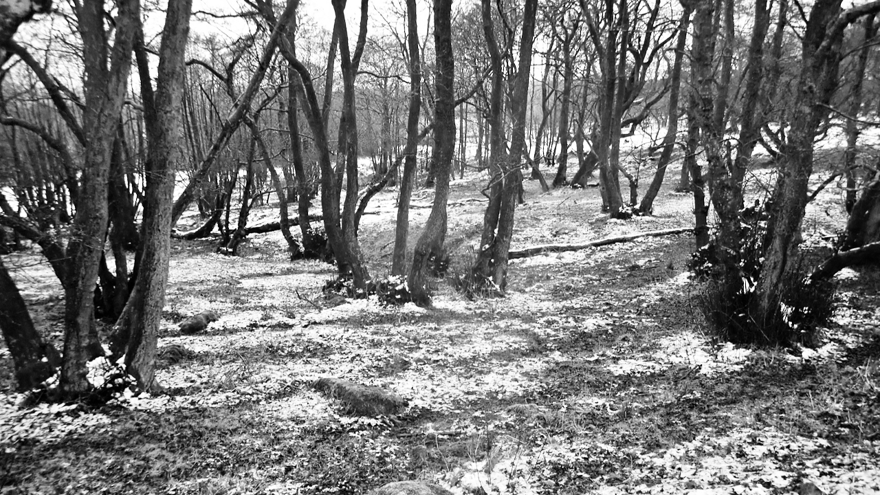
Greenhow Botton
On the old 1857 O.S. map, this area is named as Greenhow Burton. Half a century later, it is mapped as Greenhow Botton. Such is the evolution of names over time. Or perhaps different surveyors misinterpreting the local dialect. The second word of the name derives from the Old Norse ‘Botn’ meaning a hollow. Off…
-
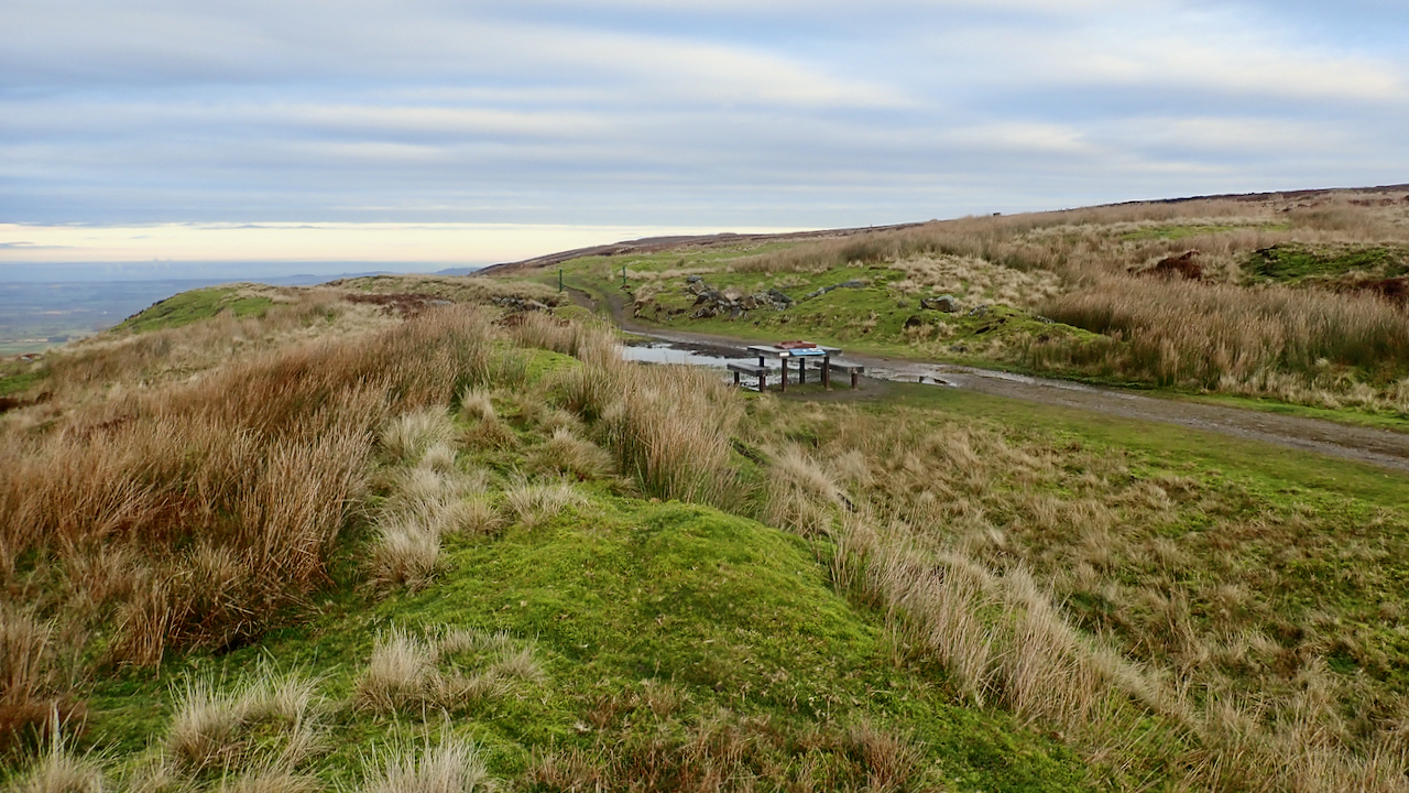
Incline Top
My morning constitutional today featured a one way run from Bank Foot to Clay Bank over Urra Moor. And to save a bit of time I used the old railway incline to ascend to the moor top. I’d forgotten how much of a slog it is. Nowadays, I am, more often than not, descending on…
-
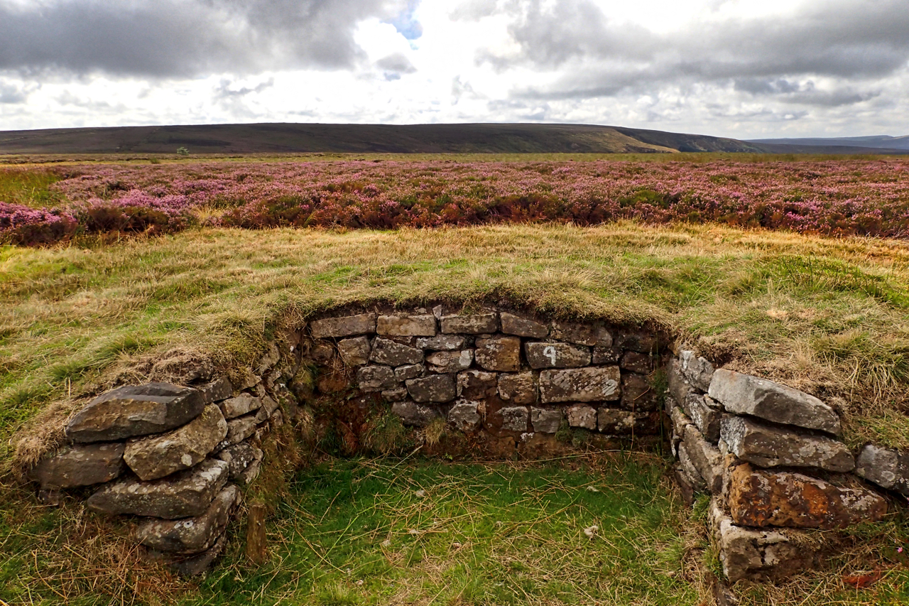
First day of the grouse shooting season
The first day of the grouse shooting season so I took in a circuit via Urra and Greenhow Moors in the hope I might come across a shoot. It is not the “Glorious 12th”, of course, that was yesterday but being a Sunday the start is postponed for a day unless you are in Scotland…
-
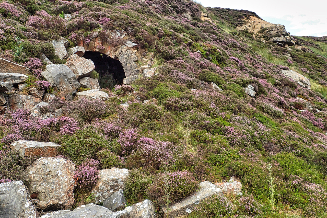
Ingleby Manor Ironstone Mine
Armed with a six-digit grid reference I have twice tried to locate the remains of the Ingleby Manor Ironstone Mine, and twice failed. The grid reference I obtained from the Catalogue of Cleveland Ironstone Mines by Peter Tuffs, the guru of local industrial archaeology. It was with trepidation then to discover it was to be…
-
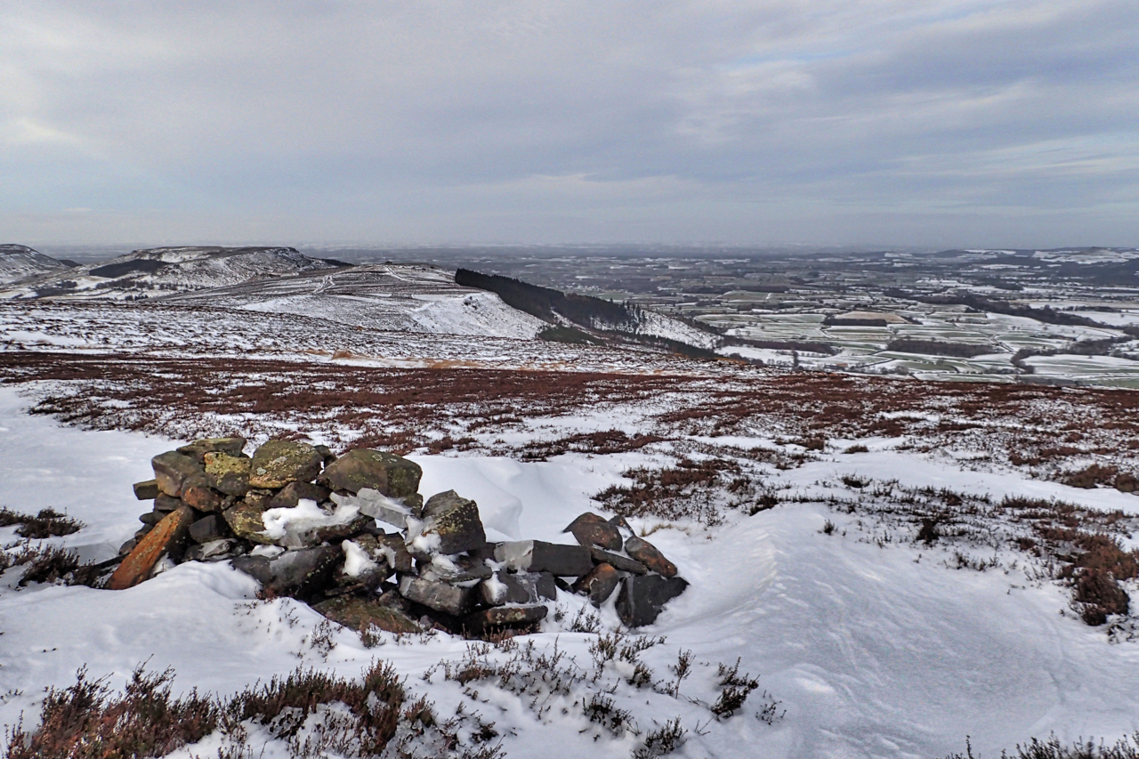
Round Hill Memorial Shelter
Many of you will know I don’t agree with memorials. Benches, plaques and rock carvings littering the moors. But this one has been tucked away discretely off major paths overlooking Greenhow Botton for 46 years and I didn’t know it existed until very recently. I thought it was a shooting butt at first. A circular,…