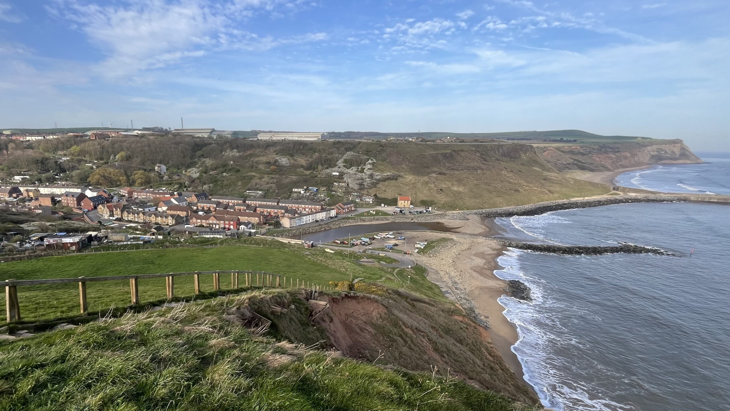
Yesterday’s descent of Hummersea Cliff into Skinningrove. Terraced houses cluster around Kilton Beck where it meets Cattersty Sands. Rocky breakwaters hold back the North Sea, which is doing its level best to reclaim the shore. The wooden shoring in the foreground is losing an argument with coastal erosion. Will this be the first instance of roll-back for the new King Charles III coastal path?1Marine & Coastal Access Act 2009: coastal access for landowners (2026 update). Stephens Scown. https://www.stephens-scown.co.uk/specialist-sectors/marine/the-marine-and-coastal-access-act-2009/#:~:text=In%20respect%20of%20the%20England%20Coast%20Path%2C%20it%20will%20be%20possible%20to%20%E2%80%98roll%20back%E2%80%99%20the%20line%20of%20the%20path%20should%20land%20be%20affected%20by%20coastal%20change%20such%20as%20erosion.
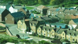
Local lore — sourced, I confess, from Facebook, so treat accordingly — suggests a tunnel dating to the 1500s runs from Cattersty Sands to the former Timms Coffee House, now known as Moonfleet2Redcar & Beyond Facebook Page 11 May 2025. https://www.facebook.com/groups/5393266094025237/permalink/23978456081746290/?. The same source claims that the building now known as Sheila’s Shop was built in the shape of a cross, serving as a rest stop for monks travelling between Guisborough Priory and Whitby Abbey. The cross footprint was clearly visible on my descent, though the building does not look remotely medieval. It appears on the 1856 Ordnance Survey map, but not on a cross plan.
My Skinningrove notes, I freely admit, lack the historical authority I aspire to. So having said that, I continue.
Before ironstone was discovered in 1847, Skinningrove was a mere handful of fishermen’s cottages. The opening of the ironstone mine by Pease and Partners on 1st January 1864 changed everything, transforming those few cottages into a planned model village of 150 houses, complete with good drainage, a school and a miners’ hospital.
Nearby Brotton told a very different story. Built by independent developers with no such oversight, it became notorious for twelve people sharing a two-bedroomed house. By 1872, Brotton had earned the grim distinction of being called the “mother of disease in Cleveland,” its streets reportedly ankle-deep in mud.
Paternalism has its drawbacks, of course. A Skinningrove miner injured on the job could live rent-free, but leaving his employment meant his family vacated the house immediately. Pease and Partners gave with one hand and kept a firm grip with the other.
- 1Marine & Coastal Access Act 2009: coastal access for landowners (2026 update). Stephens Scown. https://www.stephens-scown.co.uk/specialist-sectors/marine/the-marine-and-coastal-access-act-2009/#:~:text=In%20respect%20of%20the%20England%20Coast%20Path%2C%20it%20will%20be%20possible%20to%20%E2%80%98roll%20back%E2%80%99%20the%20line%20of%20the%20path%20should%20land%20be%20affected%20by%20coastal%20change%20such%20as%20erosion.
- 2Redcar & Beyond Facebook Page 11 May 2025. https://www.facebook.com/groups/5393266094025237/permalink/23978456081746290/?
Leave a Reply