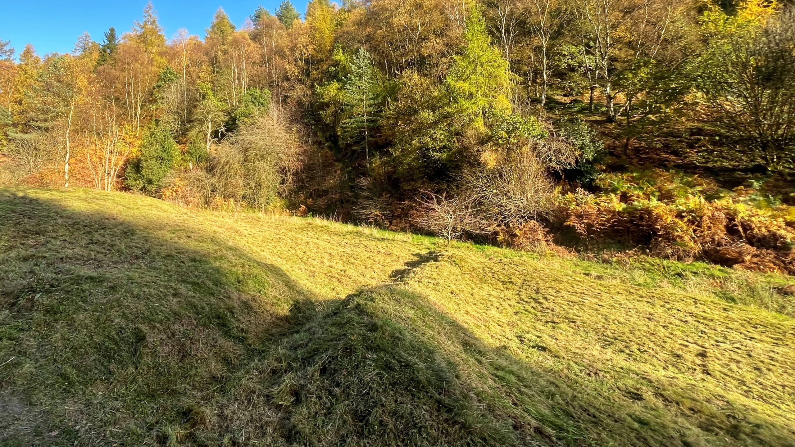
A walk down lower Dovedale shows land shaped by people, past and present. In the featured photograph above, the newly mown grass reveals the earthbank of an ancient field boundary, which the Ordnance Survey map still records.
Dovedale Beck runs over Oxford Clay, and the valley floor holds a wet meadow rich in flowers. A meadow of this kind stays generous only when it is kept hungry. Each late summer the grass is cut and raked off, and the rakings are spread higher up the slope under the tree canopy. Left on the meadow, the nutrients would feed the soil, and the delicate native plants need poor soil to do well.
I have joined the volunteer “bracken bashing” sessions since its early days, 2016 if I recall correctly, and watching the meadow recover has been a real pleasure. The once-dense bracken is now thin and stunted. Yellow rattle, bird’s-foot trefoil and tormentil return in large numbers each summer. Old field boundaries and patient volunteers have made lower Dovedale a refuge for wildlife.
Leave a Reply