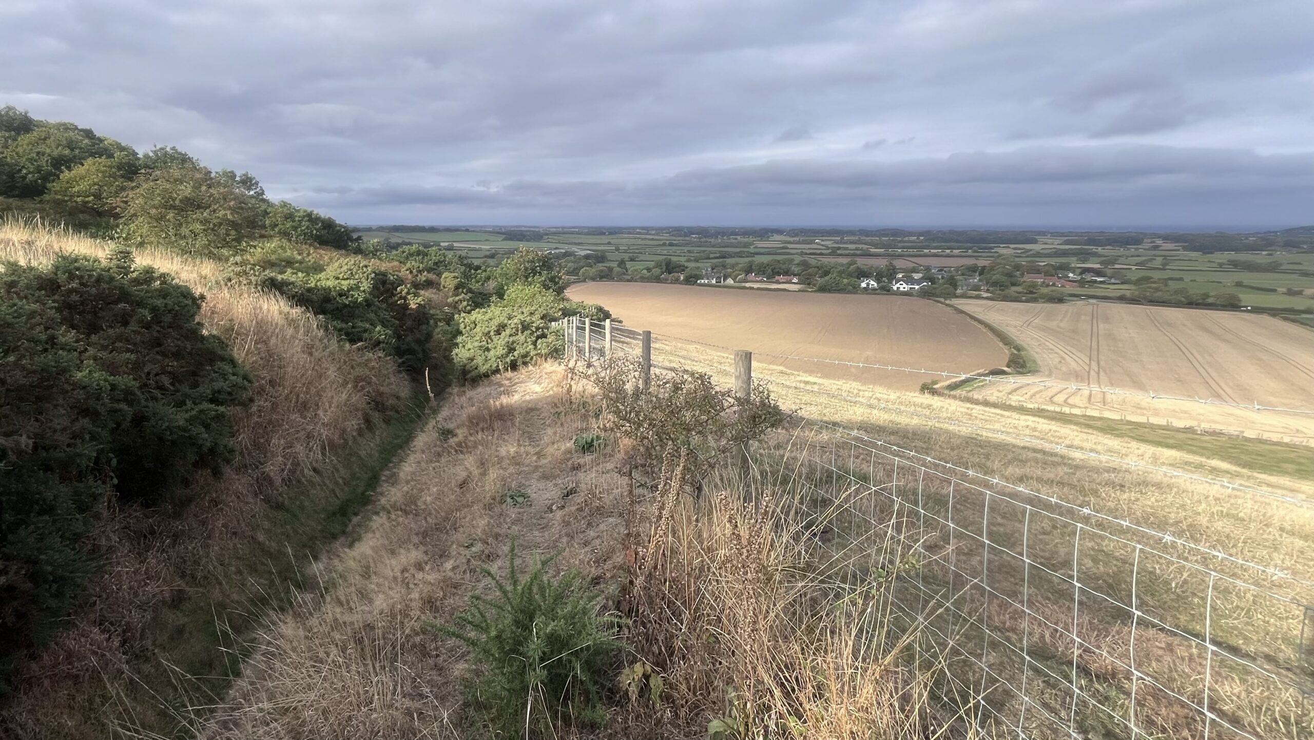
Follow this sunken holloway downhill to Newton-under-Roseberry and the terrain gives a hint of its age. Gorse and scrubby trees crowd the banks. Between them the track lies deep, worn down by centuries of boots, hooves and heavy loads. Nobody wears down a trench like that by a Sunday stroll up Roseberry.
Today it is a Public Bridleway. The oldest O.S. map calls it Bridle Gill Road, and that name repays a closer look. Bridle Gill is the stream which forms the boundary between the townships of Newton and Pinchinthorpe.
“Road” comes from the Old English “rad”, which meant a riding, a journey on horseback1Etymonline. https://www.etymonline.com/word/road. It could also mean a hostile raid, and “raid” is its close cousin. A road began as something you did, not something you walked on. Riders and raiders shared the word long before anyone used it for a strip of ground. That modern meaning, a track for travelling on, arrived only in the late sixteenth century.
The old map shows the “road” climbing past Little Roseberry and onto the moors. Here, perhaps, is the reason for the heavy traffic: peat, heather or sandstone coming down to the village, most likely on sledges rather than carts. I can think of no goods that would have made the journey uphill. Gravity did the work, and the people merely steered.
- 1Etymonline. https://www.etymonline.com/word/road ↩︎
Leave a Reply