Tag: tumulus
-
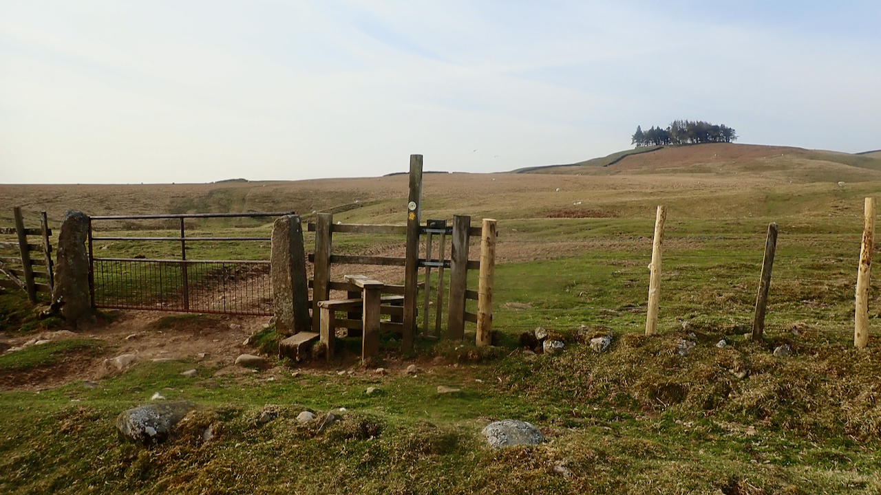
Kirkcarrion
I’ve never done the Pennine Way. All the way that is, in one go. I’ve done bits. Crossed it many times, but I’ve only ever been in the dales north of the A66, Baldersdale and Lunesdale, once before as I recall. So I was quite looking forward for a run along the Pennine Way from…
-
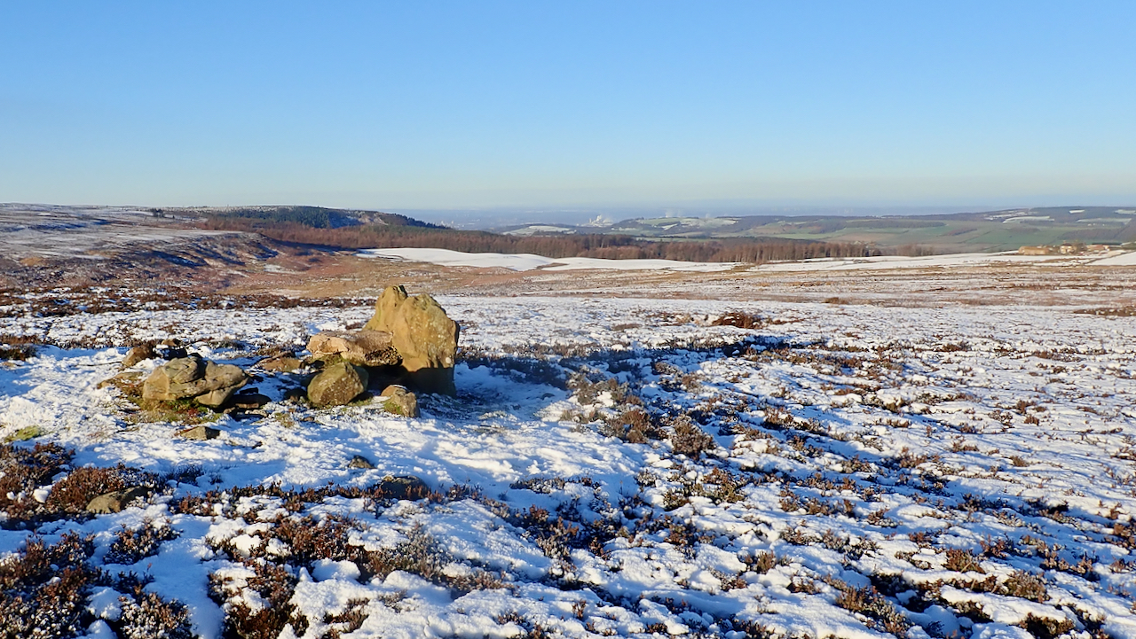
Codhill Heights
A lovely day. The high point of the ridge between Sleddale Beck and Codhill Slack on the moors south of Highcliff Nab, Codhill Heights is 296 metres above sea level and has a prominence of just 12 metres. One contour on the 1:25,000 O.S. map. The view is north-west towards Black Nab and the col…
-
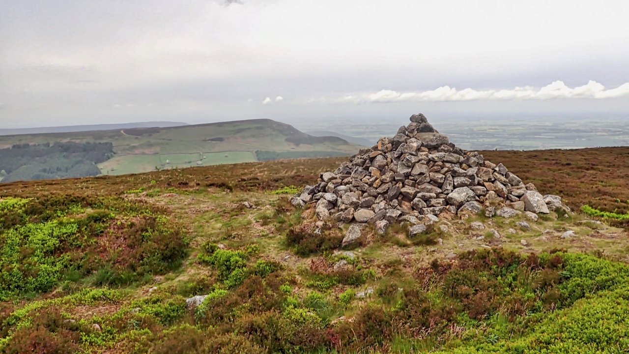
Burton Howe
The largest of four tumuli on a low knoll on the long ridge of Ingleby Moor. The other three are 60m to the north. It’s tempting to assume the name derives from the Old Norse ‘Botn’ meaning a hollow, as does the name of the hamlet of Greenhow Botton which it overlooks. Burton Howe is…
-
Green Howe
Go to almost anywhere on the North York Moors and somewhere on the skyline there will be at least one round barrow. More likely you will be able to spot a dozen or so. The archaeologists tell us 541 of them have been recorded. Marked in Gothic script on Ordnance Survey maps as ‘tumulus’ or…
-
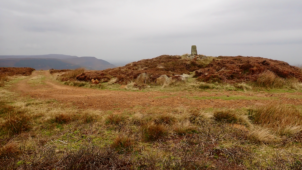
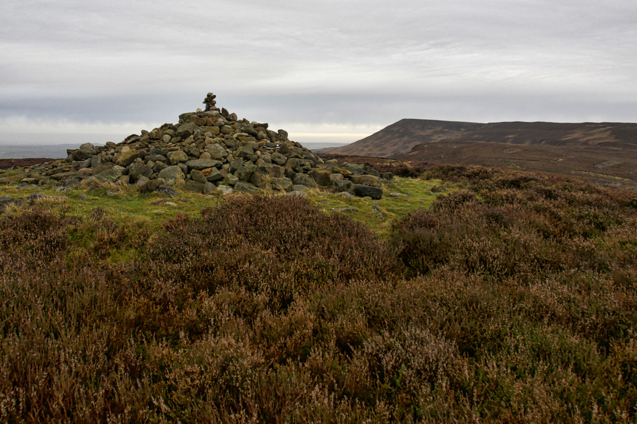
Drake Howe
At 435m Cringle Moor, or Cranimoor as Frank Elgee that local archaeologist, geologist and naturalist would have it, is the third highest hill in the North York Moors. Drake Howe adorns the summit. A large Early Bronze Age bowl barrow or burial mound, making it over 3,500 years old. Elgee suggests that the name Drake…
-
Codhill Heights Revisited
A photo I posted earlier this year was of the round barrow at Codhill Heights, an inconspicuous 296-metre high summit on the ridge behind Highcliff Nab. Over the years a cairn has been built over the barrow which dates to around 2,000 BC. The National Park has now removed this “modern” cairn exposing some original…
-
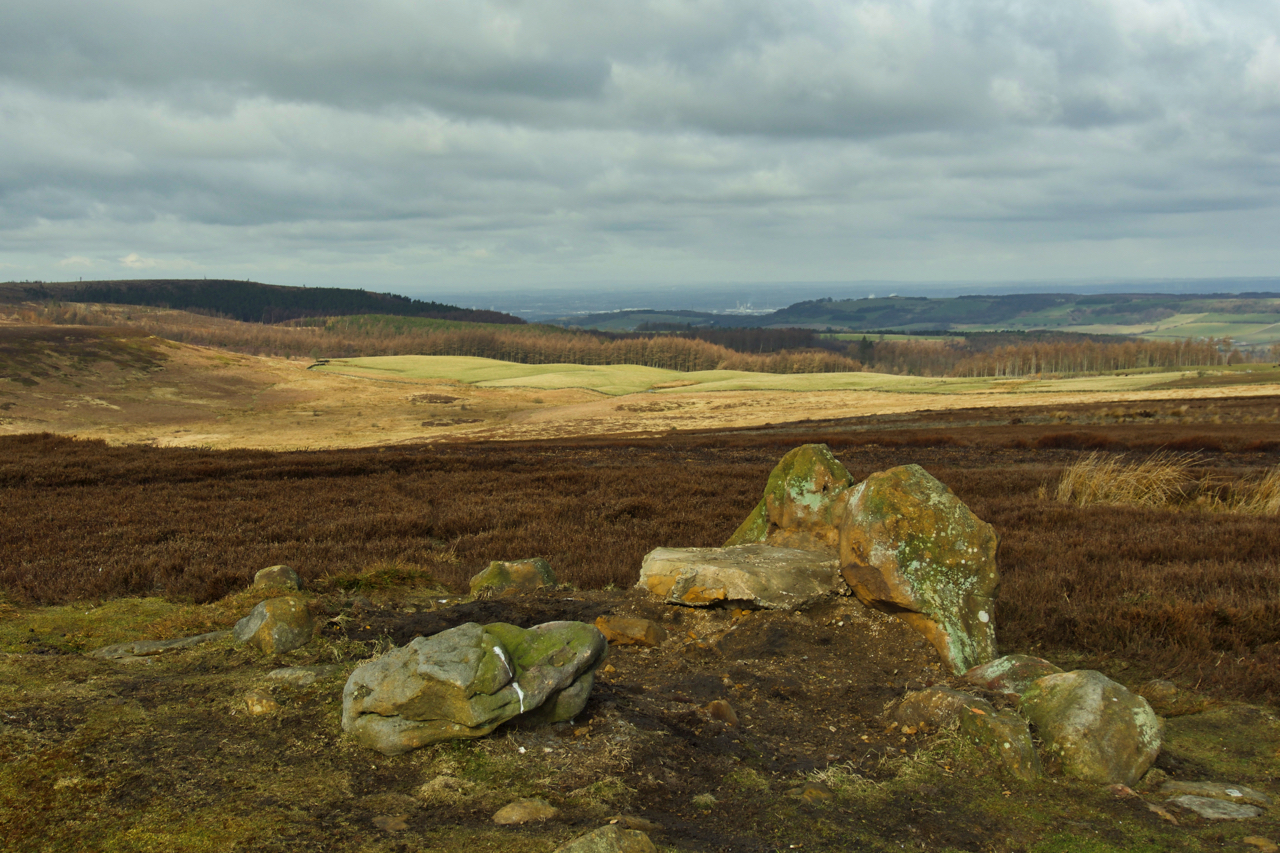
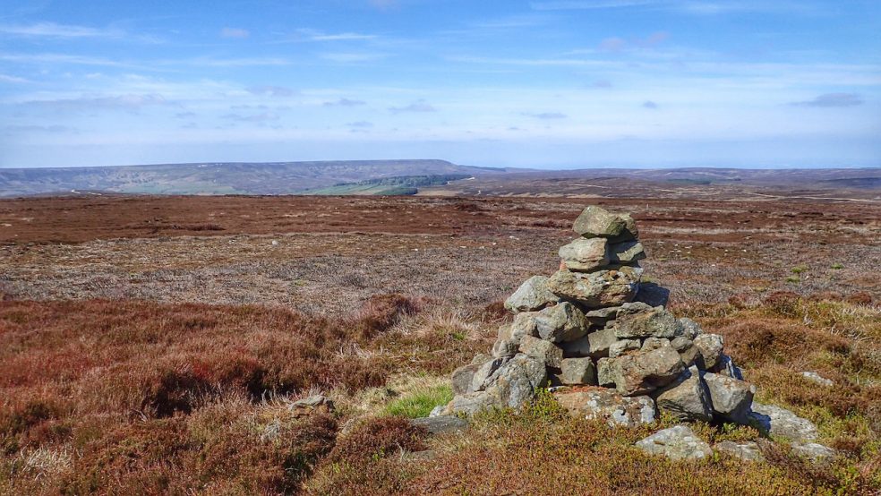
Round Barrow, Codhill Heights
A Bronze Age burial mound and possible territorial marker. A large standing stone can be seen on the left. The has been excavated and is capped by a modern cairn. It stands on a slight rise, with a prominence of a mere 12m, on a ridge of Gisborough Moor, overlooking Sleddale.
-
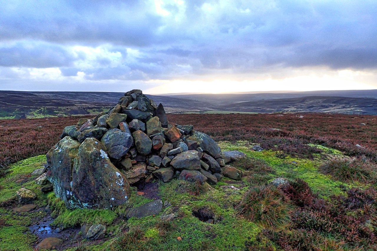
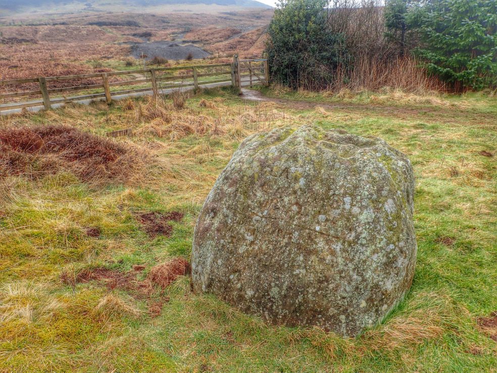
Round Barrow, Live Moor
A new plaque has been fixed to a stone by the National Park asking visitors not to disturb the Bronze Age burial mound on Live Moor near Whorlton. Not to remove or add stones to the cairn. The custom has developed amongst walkers and ramblers to add a stone or two to piles of stones…
-
Joseph Wade’s Hut, Bilsdale West Moor
Joseph Wade’s Hut, the feature looked interesting on the map, but all I could find was just a cairn on a bronze age round barrow. Round barrows generally occupy prominent positions in the landscape and are thought to have had a funerary function although they may have also marked the boundaries of prehistoric peoples. The view is overlooking Ryedale…
-
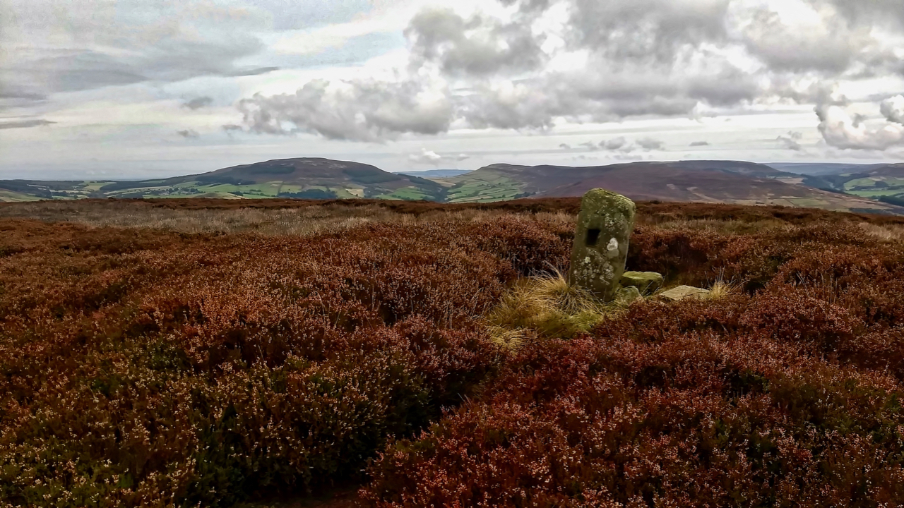
The Three Lords’ Stone
The Three Lords’ Stone, is so named after the three Lords: Duncombe of Helmsley, Marwood of Busby Hall and Aislesby, who had land in Scugdale. The boundaries of their respective estates met at the Stone. It is situated on the edge of a tumulus behind the present day Lord Stones Cafe. There is some inscription…