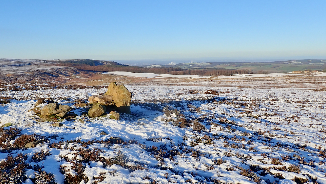
A lovely day. The high point of the ridge between Sleddale Beck and Codhill Slack on the moors south of Highcliff Nab, Codhill Heights is 296 metres above sea level and has a prominence of just 12 metres. One contour on the 1:25,000 O.S. map. The view is north-west towards Black Nab and the col at Codhill Slack.
A round barrow or burial mound marks the flat summit and dates to the Early Bronze Age, that is between 4,500 and 3,500 years ago. It was once topped by a large modern cairn which the National Park “deconstructed” in 2018.

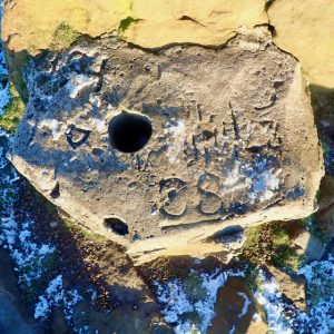
Below the stones of the cairn, a concrete block was found impressed with the dated ’11/11/1943′ and the initials ‘CS’ and ‘JP’. There was also a deep hole suitable for a pole.
The date suggests that that the concrete was cast as a part of some Armistice Day commemoration possibly as a base for a flagpole. ‘CS’ and ‘JP’ are undoubtedly the guys that cast it. Alternatively, there could be some connection to the bombing decoy control bunker on Great Ayton Moor across Codhill Slack and the date is purely coincidental.
So, my last post of 2020. One of my tenets, when I had made a mistake whilst navigating in the hills, was to tell myself what’s gone is gone, it’s no used dwelling on the past. A new route now needs to be planned.
Tomorrow will be a New Year, I wish you all good health and happiness.

Leave a Reply