Tag: stream
-
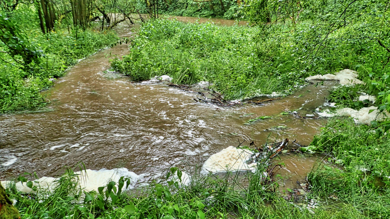
Slacks Beck
I know a confluence is where two streams or rivers converge. The usual node in a river network. A meeting of waters. But what is a parting of waters called? Where a stream separates into two courses. I know of one, in the Lake District, Raise Beck above where it tumbles down to Dunmail Raise.…
-
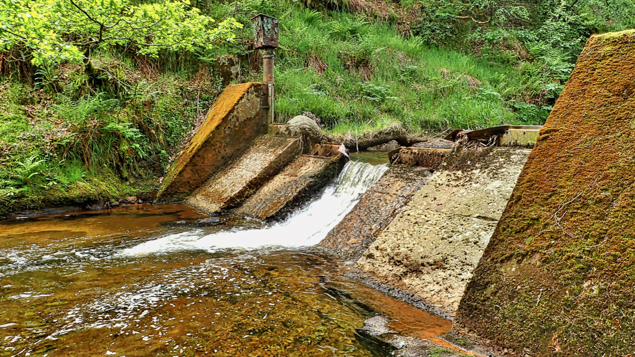
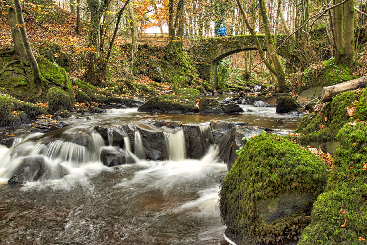
Disused weir, Hodge Beck, Bransdale
I’ve wanted to visit this part of Bransdale for a while, in particular, this disused weir, just below the confluence of Hodge Beck and Shaw Beck. It was built in 1936 as part of the proposed scheme by the Hull City Council Water Board to construct “the second largest reservoir” in the country in the…
-
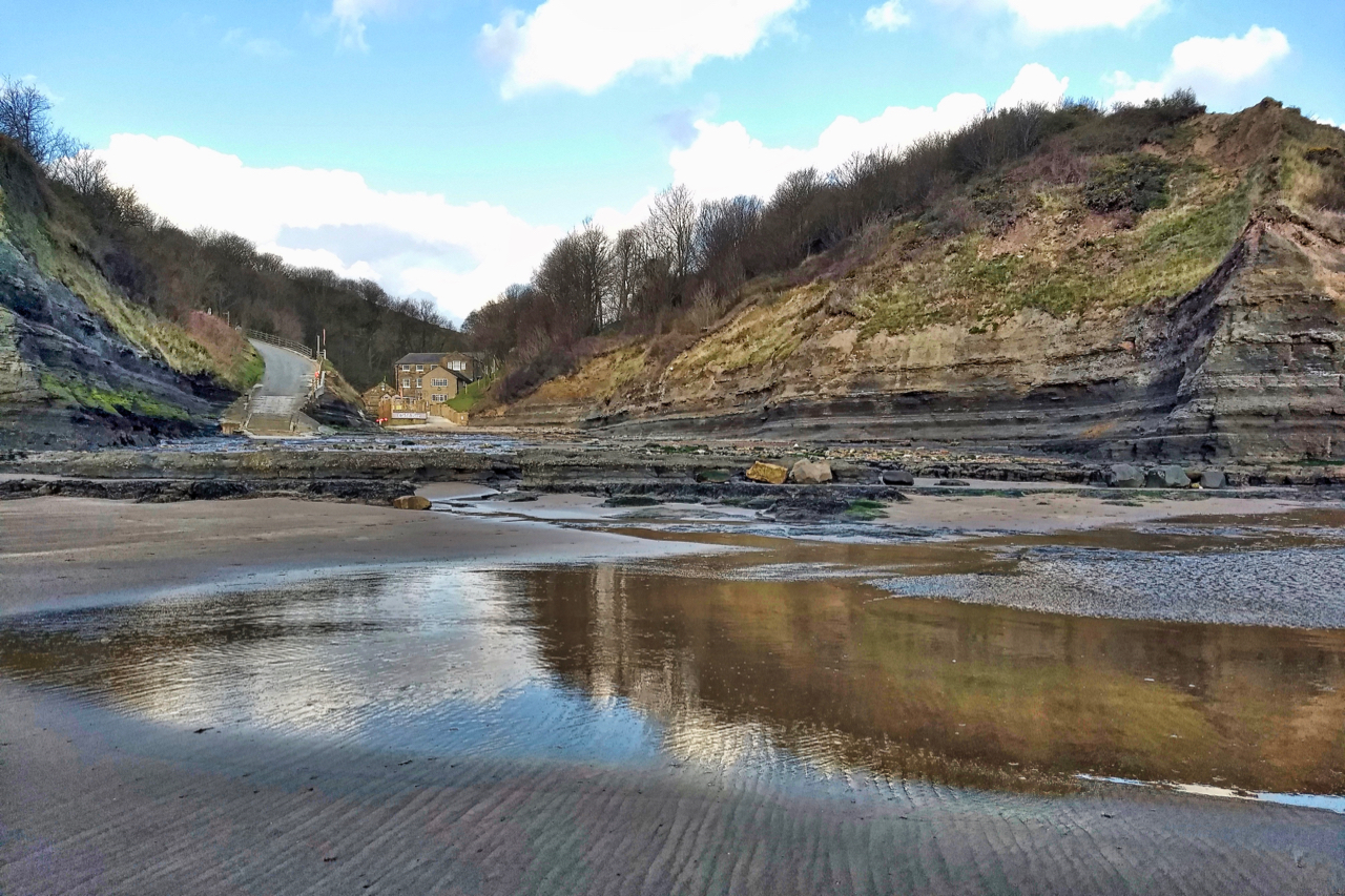
Boggle Hole
A name best known for the Youth Hostel that occupies the old corn mill buildings at the foot of a steep rocky ravine down which Mill Beck flows into the sea. Boggle Hole is one of the last six remaining Youth Hostels in the North York Moors, the others being Whitby, Scarborough, Osmotherley, Helmsley and…
-
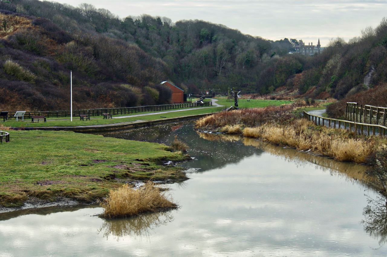
Skelton Beck
Valley Gardens, Saltburn, at the confluence of Saltburn Gill with Skelton Beck. A seemingly slow and lazy stream just before it passes under the road bridge to meander across the sands into the North Sea. Can this really be the stream mentioned in an 1853 book (The Topographer and Genealogist Vol. II, edited by John…
-
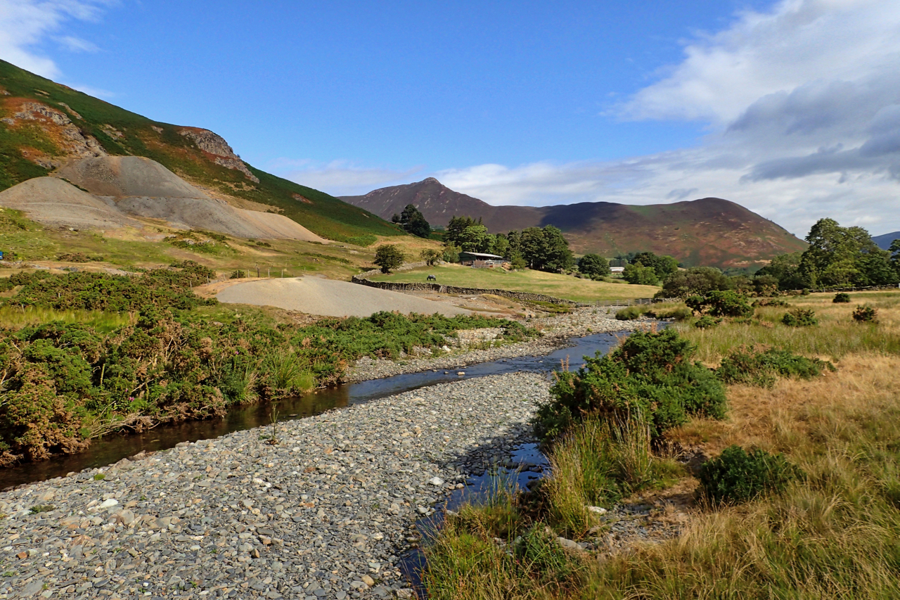
Newlands Valley
Newlands Beck meandering down the dale from its head below the appropriately named 753m high summit Dale Head. In the distance the prominent Causey Pike, a tortuous climb from this direction. The spoil heaps far left are from Goldscope Mine, one of the earliest mines in the area documented back to 1564, the year Shakespeare…
-
Holme Beck, Great Broughton
Or it may be Broughton Beck, so named on the Ordnance Survey map downstream. Upstream of the village, the map says Holme Beck. And closer to the Cleveland Hills where it tumbles down from its source below Donna Cross the watercourse is called Trows Beck. Three name changes in as many miles. The series of…
-
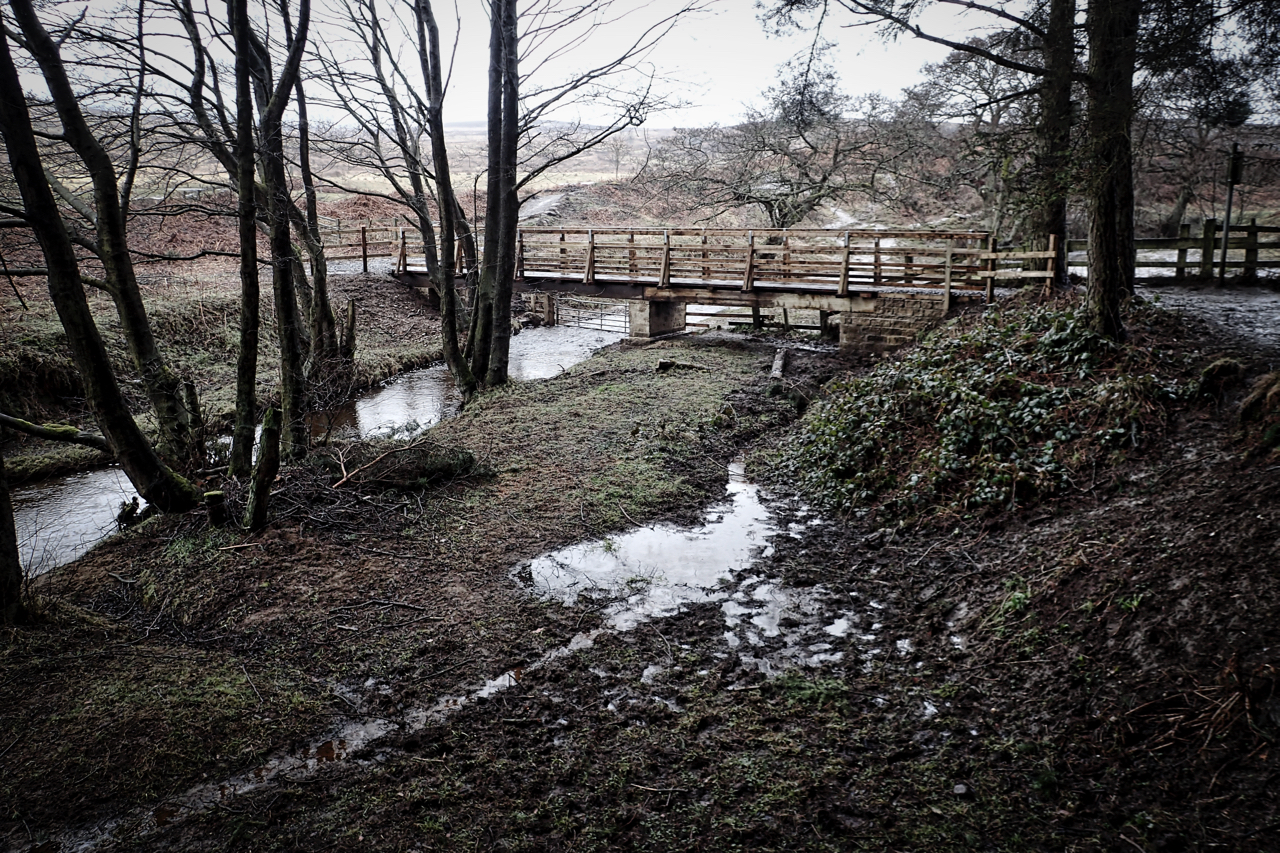
New bridge over Cod Beck
It was supposed to be ready for the October half term, last year. But, better late than never, I was pleased to see the bridge in use. I understood the idea was to produce a wheelchair accessible route around Cod Beck Reservoir but the installed kissing gate looks to me to be too narrow. Maybe…
-
Staindale Beck
On what must be the warmest day of the year. Sunshine and the peaceful bubbling of the stream. A lotic moment at Low Staindale in Dalby Forest, time out while helping with some fencing for the National Trust. Open Space Web-Map builder Code
-
Rathmell Beck
A lovely little footbridge over a lovely little stream, a tributary of the River Ribble in the Yorkshire district of Craven. The name Rathmell probably drives from the Old Norse rauðr meaning red and melr meaning a sandbank. No doubt referring to a sandbank which once existed on the floodplain of the Ribble between the…
-
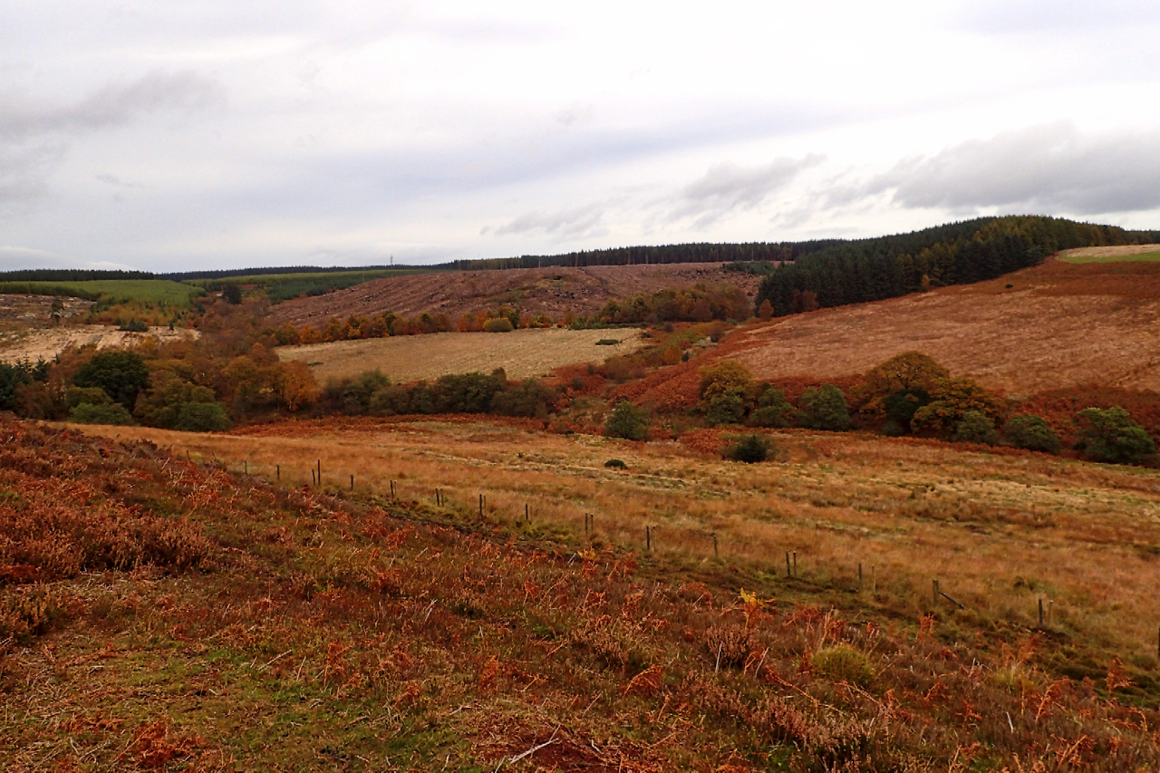
Grain Slack
Discovered a new area of moorland today. Thompson’s Rigg, part of the National Trust’s Blakey Topping property. Heather dominates the rigg, hiding the prehistoric field system, cairnfield and hollow ways. Across Grain Slack, a diverse shallow valley is Allerston High Moor, also Trust land. In the distance, the commercial plantations of Langdale Forest have been…