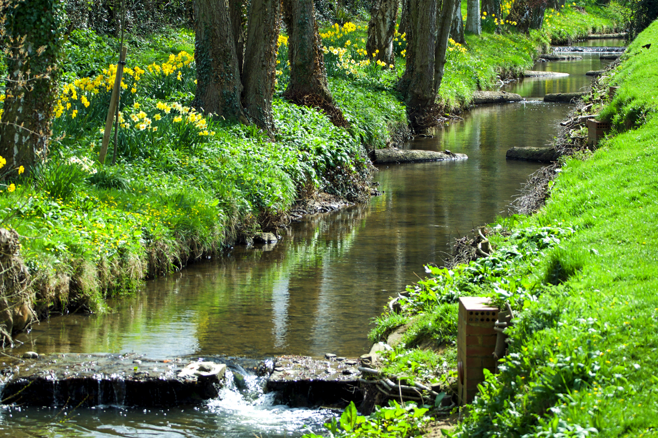
Or it may be Broughton Beck, so named on the Ordnance Survey map downstream. Upstream of the village, the map says Holme Beck. And closer to the Cleveland Hills where it tumbles down from its source below Donna Cross the watercourse is called Trows Beck. Three name changes in as many miles. The series of weirs have probably been constructed to slow and break up the water’s progress in times of flood as well as capturing silt and run-off.
Leave a Reply