Tag: Gill
-
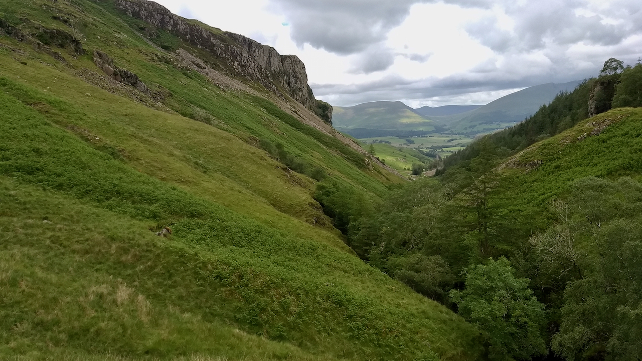
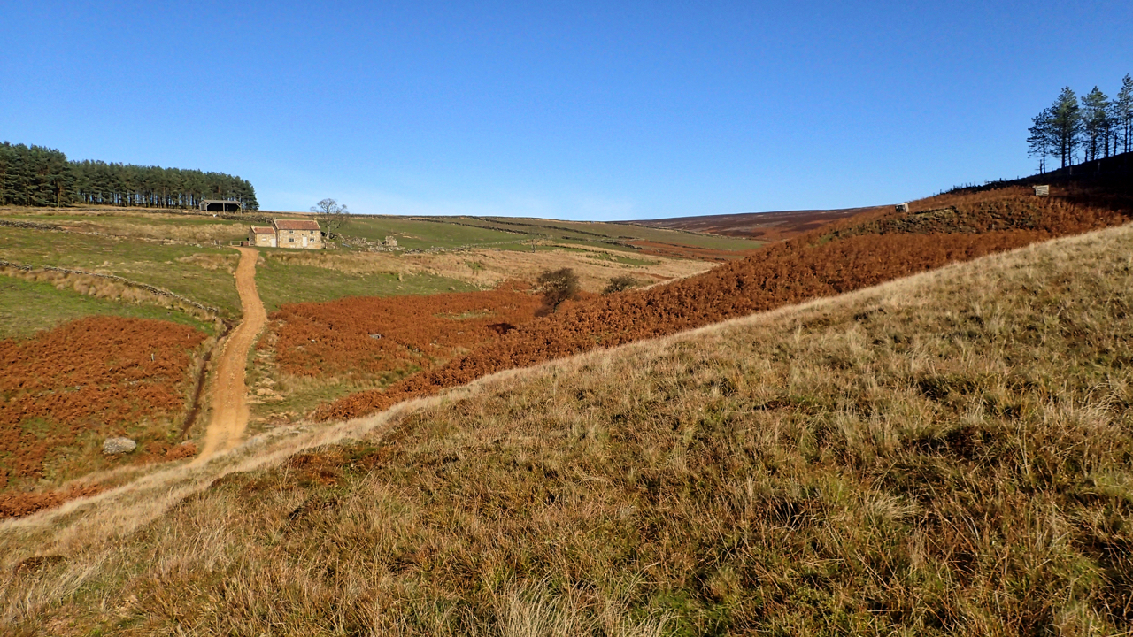
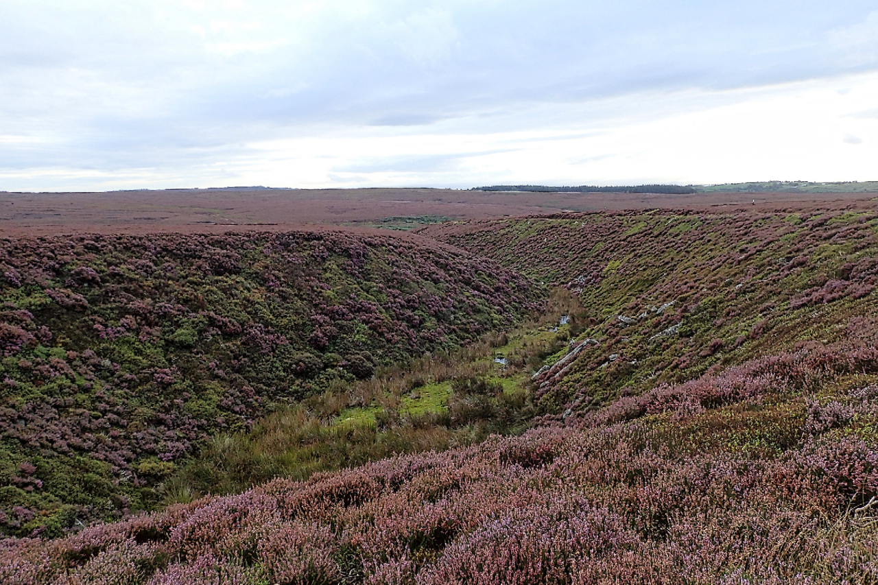
Howden Gill on Ayton Bank with the Cleveland Hills in the distance
Not many bees and insects around at the moment. In the midst of winter, they are either dormant or are still eggs, buried deep in the leaf litter. Honey bees will be cozy in their hives surviving on a sufficient supply of honey left for them by the beekeeper. But nationwide, bees and other pollinators…
-
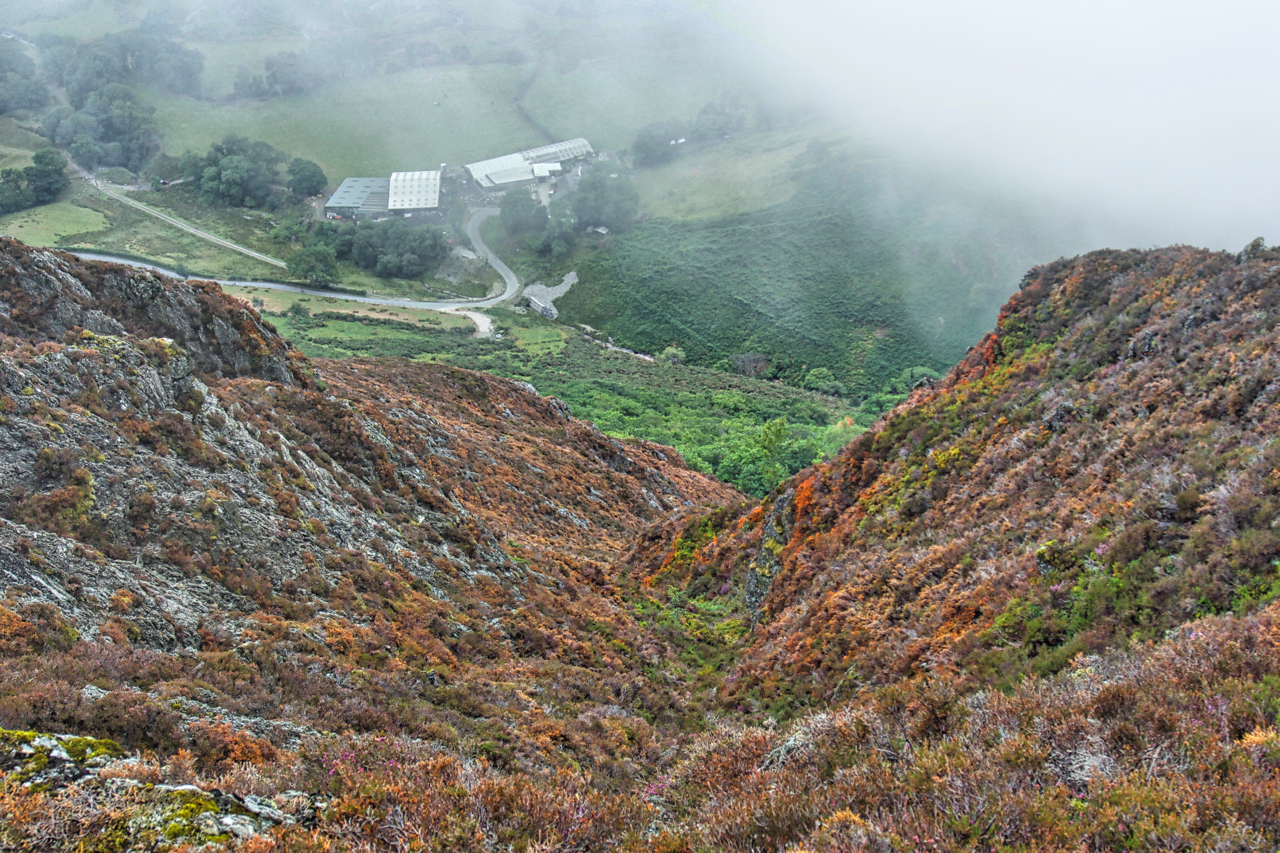
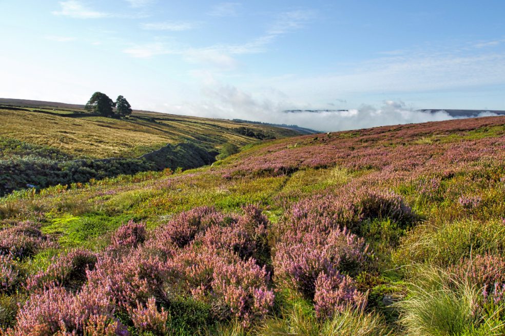
Shoulthwaite Gill
Thinking about somewhere to aim for, it suddenly occurred to me that I have never been up Raven Crag overlooking Thirlmere. It’s not a particularly prominent fell, its 461m summit is almost covered by aged coniferous trees planted by Manchester Corporation when they built the Thirlmere reservoir. More interesting was the little subsidiary summit of…
-
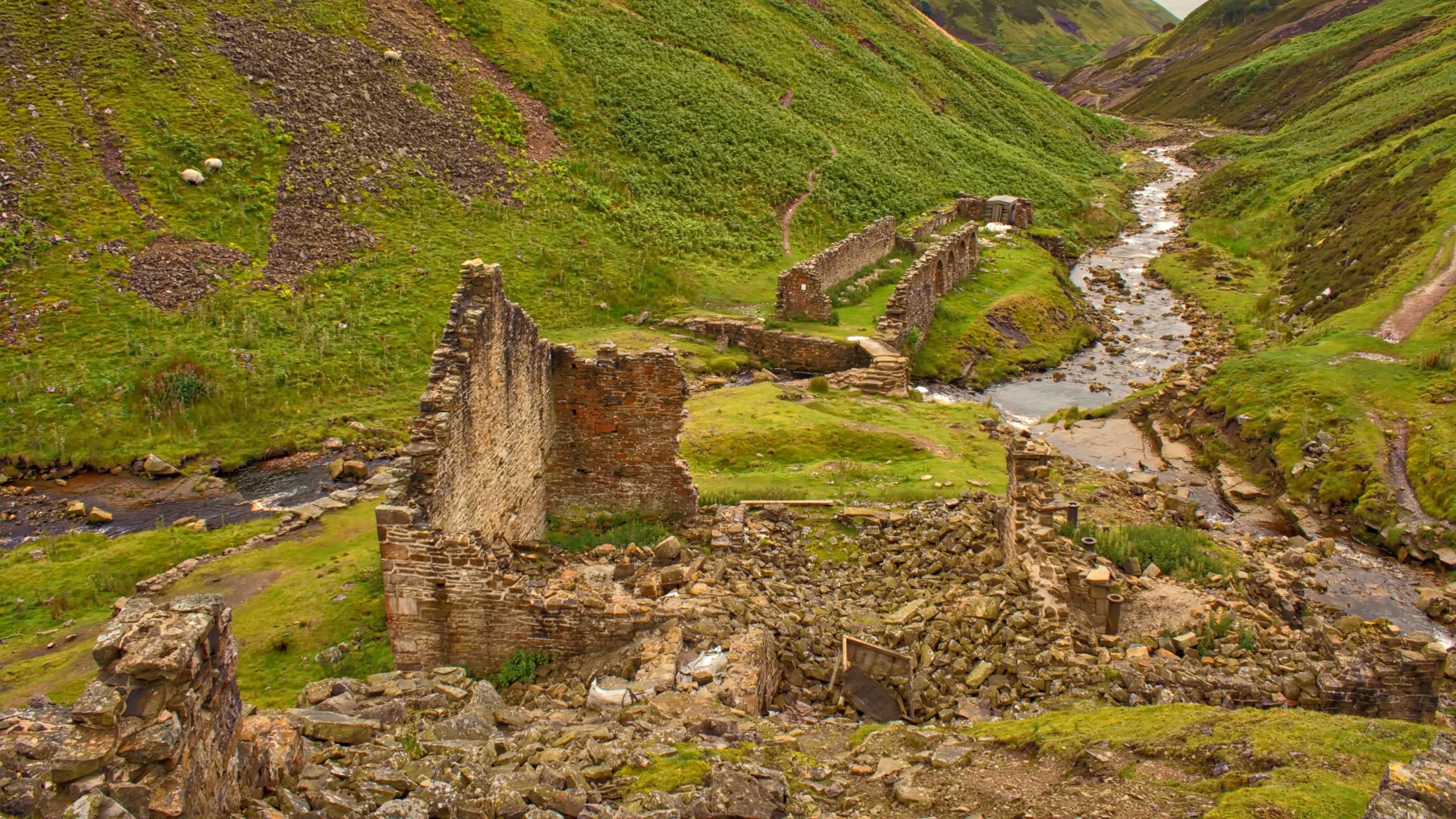
Blakethwaite Smelt Mill
The name Gunnerside, in the Yorkshire Dales, derives from two elements: ‘Gunnarr‘ a Norse personal name and ‘saetr‘ meaning a summer pasture. Through the village flows Gunnerside Gill which was once a hive of industrial activity with several leads mines operating along the narrow dale. The Blakethwaite Mine began in 1806 operated by Thomas Chippindale…
-
Holy Well Gill
Another trip onto Whorlton Moor. Second time in three days. I’m always fascinated by Holy Well Gill, an outflow from the glacial lake of Scugdale. Just a bit damp at the thalweg, a German word for the line following the lowest points of a valley. Open Space Web-Map builder Code
-
Head House, Arnsgill
Once the third and highest farmstead in this long thin valley, over 2 miles from the Osmotherley to Hawnby road. Enclosed by the Scotgrave and Cow ridges the valley’s uncultivated fields somehow escaped Open Access designation so the only way to cross is by the Public Footpath along the track up to Head House. Public…
-
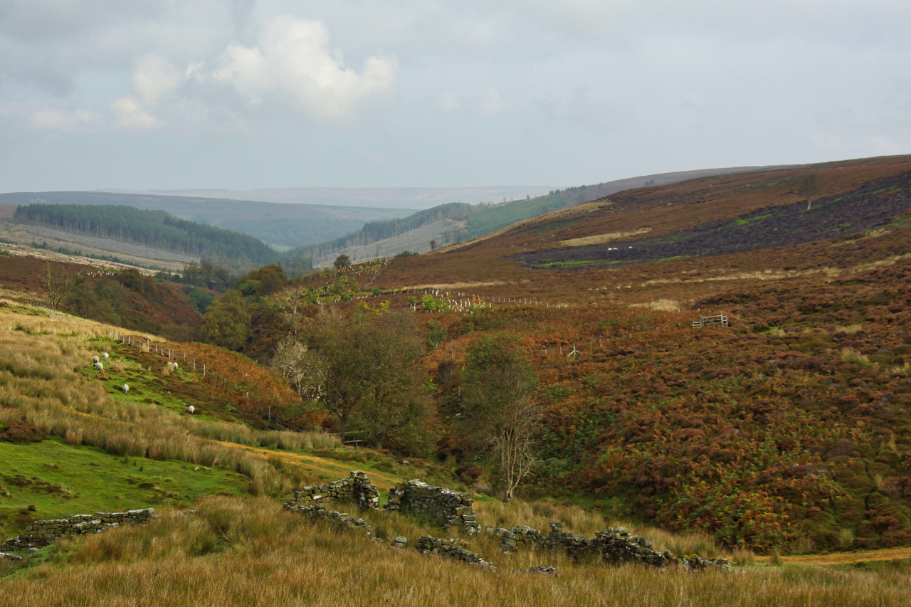
Ard Gill
Cloud base about 500m. I no longer find interest in bagging summits shrouded in mist so I opted for a circuit just dipping in and out of the cloud. On Ard Crags a break revealed the spectacular Ard Gill falling down to Keskadale Farm. Magic. Open Space Web-Map builder Code
-
Armouth Wath
When Baysdale Abbey was sold in 1803, the sale included a “supposed very considerable” coalmine. This would have been at Armouth Wath at the head of Baysdale, one of the furthest tributaries of the River Esk, although mining activity by this time would have been on the decline having reached its peak in the 18th…
-
West Gill in North Dale
Reading the depressing news that a bird of prey had been shot in Rosedale earlier this week reminded me to head down that way. No precise location was given in the report so a toss of the dice saw me in West Gill, North Dale, a deep unfrequented gash in Rosedale Moor. A cracking day…
-
Holy Well Gill
It must have needed a torrent of water to have carved this gill on Pamperdale Moor near Osmotherley. Certainly not water from the spring mapped as Holy Well and situated way down the gill not far to its junction with Crabdale Beck. The “spring” in the photo, higher up, doesn’t even qualify with an Ordnance…
-
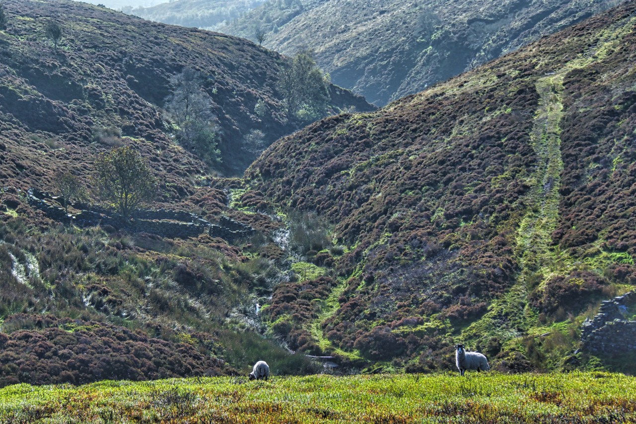
Parci Gill
Parci Gill is a tributary of the River Rye nestling between Cow Ridge and Sour Milk Hills on the moors to the west of Bilsdale. The name, Parci, sometimes written Parsi, is unusual and its etymology is difficult to explain. It has been suggested that it may predate the more usual Old Norse and Anglo-Saxon roots.…