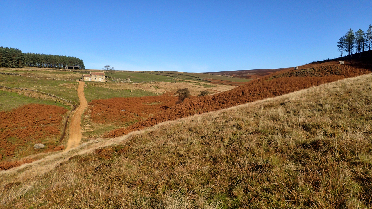
Once the third and highest farmstead in this long thin valley, over 2 miles from the Osmotherley to Hawnby road. Enclosed by the Scotgrave and Cow ridges the valley’s uncultivated fields somehow escaped Open Access designation so the only way to cross is by the Public Footpath along the track up to Head House. Public Rights of Way across Snilesworth Moor are few and far between, mostly in a southwesterly to northeasterly direction, making circular routes a challenge.
The ridges of Snilesworth show much evidence of prehistoric activity, ancient field systems and orthostats. Little is obvious in the Arnsgill valley although there are plenty of old gate posts, ruined walls and lynchets dating it is thought likely to monastic times. Head House itself was last occupied in 1913 after that being used as a gamekeeper’s lodge. Nowadays it stands forlorn storing a few sacks of grain.
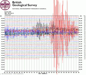 Just behind the house, tucked behind a wall we came across a solar panel connected to a grey box. An earthquake monitoring device set up by the British Geological Survey. Amazingly the data is available online. When we were there at 11:40 precisely nothing happened. But what occurred at 07:00 this morning! Am I reading this wrong?
Leave a Reply