Tag: Cleveland Dyke
-
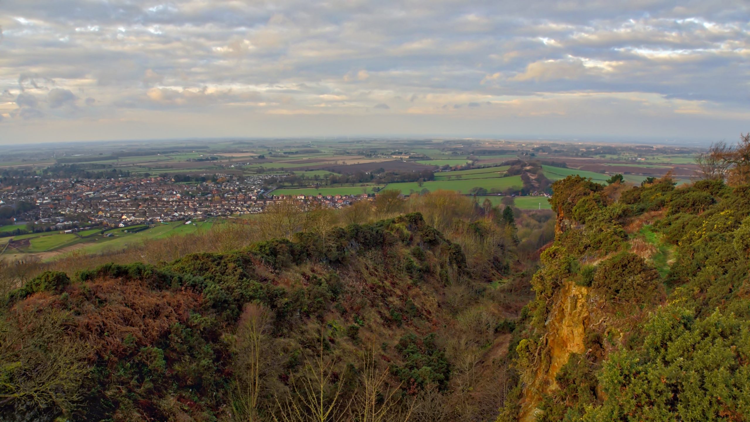
The Cleveland Dyke
A view north-west from Cliff Ridge along Langbaurgh Ridge and the line of the intrusion of igneous rock known as the Cleveland Dyke. The basaltic rock was intruded as molten magma flowed from a volcanic source near the Island of Mull in Scotland 58 million years ago. It is calculated the flow took up to…
-
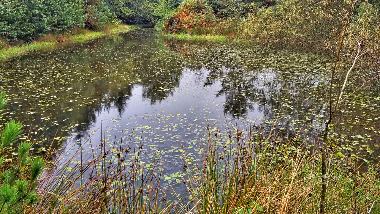
Pond, Sneaton Forest
The first time I orienteered in Sneaton the map was called Maybeck, the spruce trees were impenetrable and any excursion was a hands and knees job along one of the many ditches. Planted in the 1960s the forest is a commercial forest typical of the North York Moors. Today, 40 years later, the trees have…
-
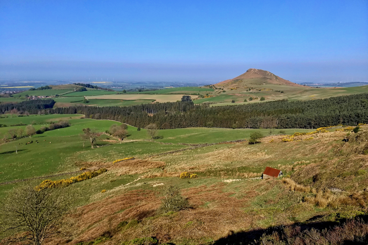
Cliff Rigg and Roseberry
A view from Ayton Bank. On the right, Roseberry Topping, “Cleveland’s Matterhorn”, a glacial outlier, the remains of a spur of the moors eroded away by the last ice advance from the north-west as the ice, hundreds of metres thick, met the bulk of the high moors. Cliff Rigg, on the left, has a slightly…
-
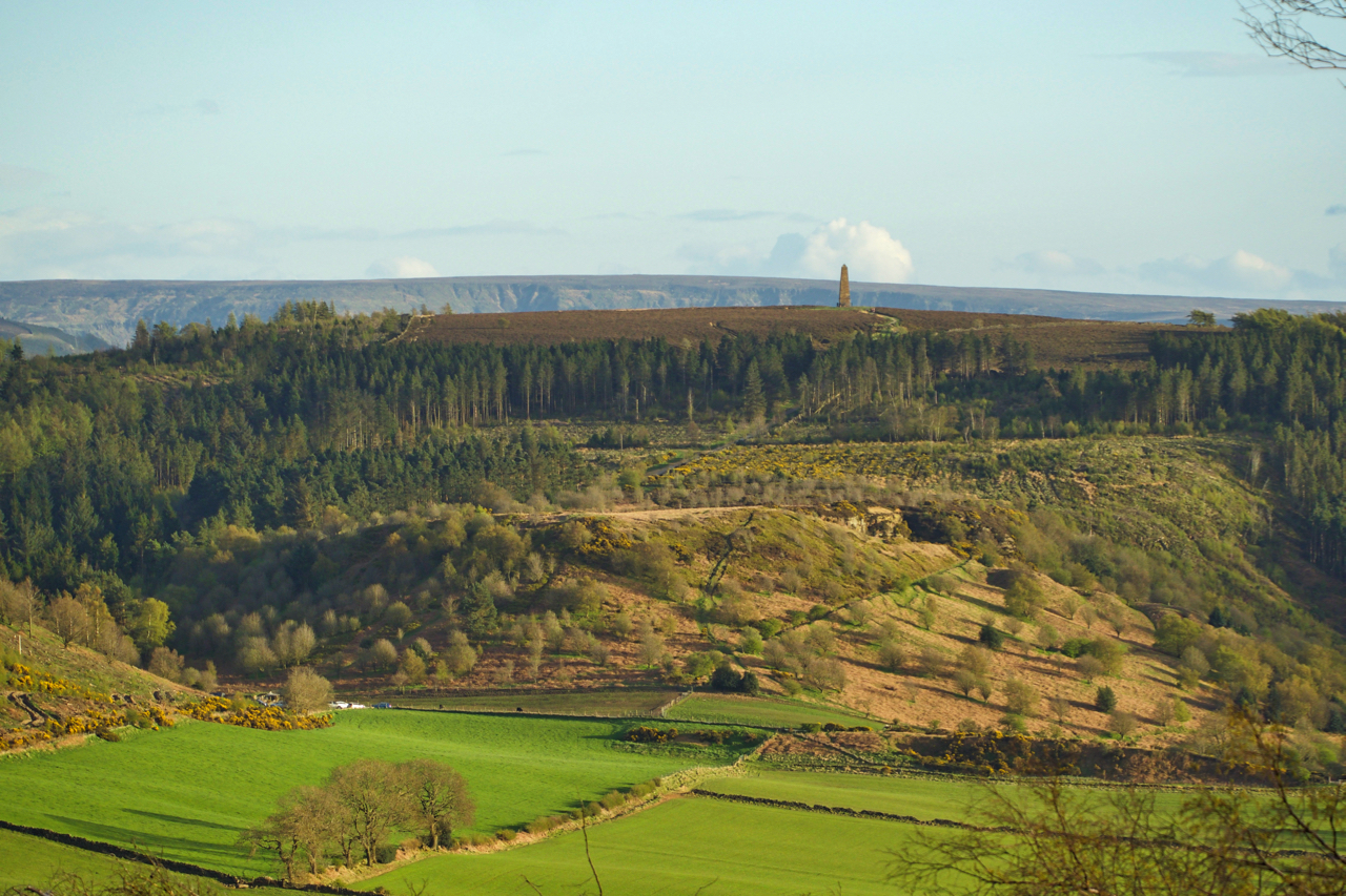
Capt. Cook’s Monument and Cockshaw Hill
Late evening view of Captain Cook’s Monument, in this 250th year since Cook set out on his first voyage. Beneath the monument the commercial plantation of Little Ayton Moor, and below that, Cockshaw Hil,l with its disused sandstone quarry. Across the lush green fields, the line of the whinstone intrusion of the Cleveland Dyke can…