Out & About …

… on the North York Moors, or wherever I happen to be.

Cleveland Dyke

The Cleveland Dyke

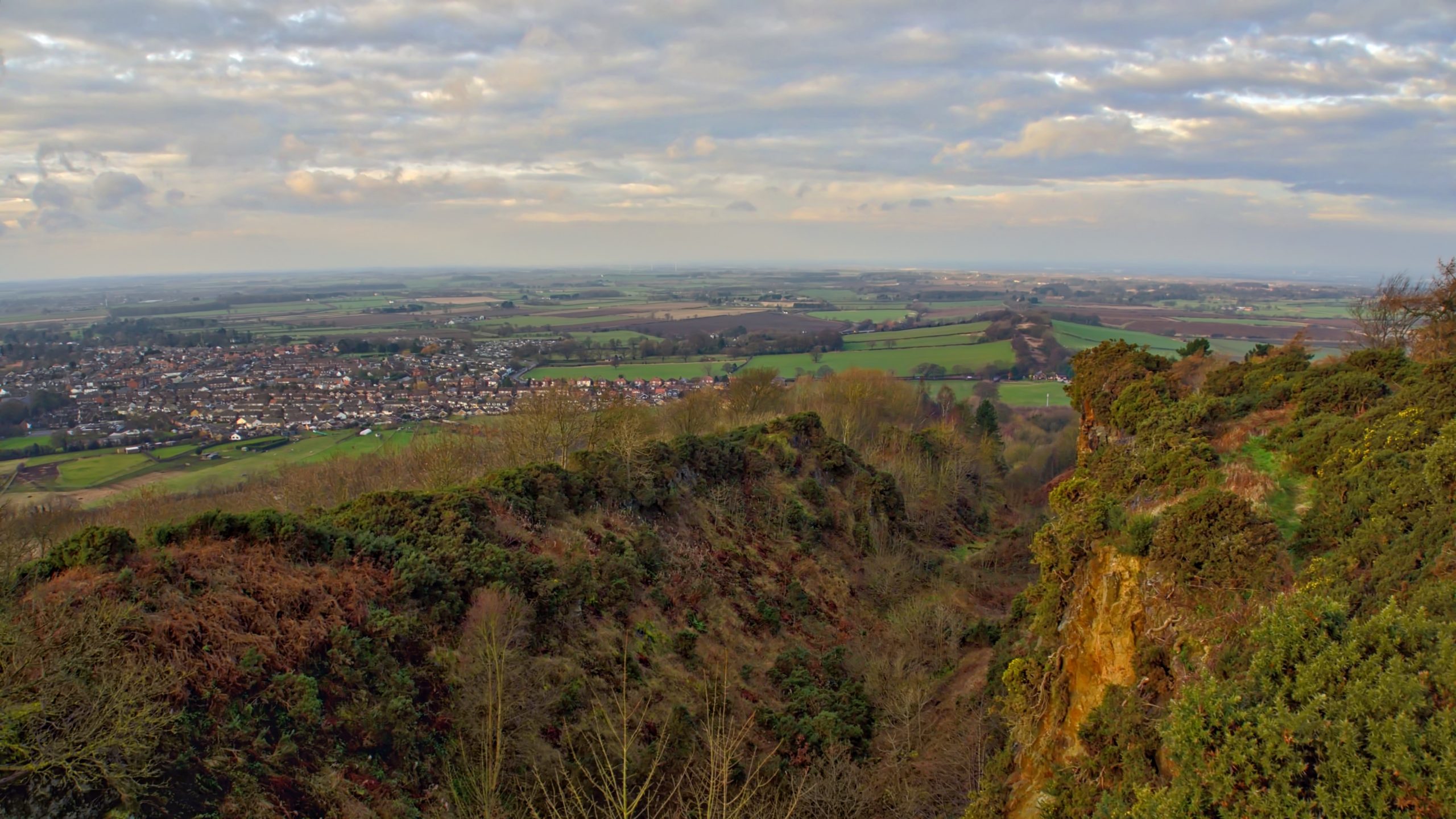
A view north-west from Cliff Ridge along Langbaurgh Ridge and the line of the intrusion of igneous rock known as the Cleveland Dyke. The basaltic rock was intruded as molten magma flowed from a volcanic source near the Island of Mull in Scotland 58 million years ago. It is calculated the flow took up to five days to reach Cleveland.

The rock, commonly called whinstone, is extremely hard and wherever it outcrops it has been extensively quarried and used for roadstone. So we can find quarries at Dumfries, Armathwaite near Carlisle, Cockfield Fell and Bolam in County Durham, Preston Park near Yarm and here at Great Ayton where the intrusion is 15 metres thick.

Heading south-east across the North York Moors, there are further quarried outcrops at Kildale, Castleton, Lealholm, Glaisdale, Egton Bridge, Sil Howe east of the Murk Esk valley and finally on Blea Hill Rigg on Fylingdales Moor.

Something that I had not appreciated before is that pre-historic pottery found in archaeological excavations on the Moors has been found to contain crushed whinstone. An awareness by our ancient ancestors of the hardness of this rock.


Posted

in

, ,

by

Comments

8 responses to “The Cleveland Dyke”

  1. […] What is the connection between these hills on the westernmost point of the British mainland to the Cleveland Dyke back home in the North York […]

  2. Tim Coates avatar
    Tim Coates

    I’m interested in researching the dyke as it crosses the Yorkshire moors from Great Aston to the sea . I wondered if you have any more information about the outcrops and the route ? Many thanks – tim Coates

    1. Fhithich avatar
      Fhithich

      I haven’t come across a comprehensive guide to the Cleveland Dyke on the North York Moors. The Wikipedia page is a bit light (https://en.wikipedia.org/wiki/Cleveland_Dyke). Local history guides of each dales often give info. on individual quarries. To see the route of the dyke, draw a straight line between Cliff Rigg, NZ 56897 11813, and York Cross Rigg, NZ 87731 01582. Any quarry marked on this line will probably be a whinstone quarry.

    2. Eric smallwood avatar
      Eric smallwood

      Get a 2 1/2″ OS map Andreas a straight line from Gt Ayton to Sil Howe – all the quarries are on or very close to this line, however many have been used for tipping waste and then restored to adjacent ground levels making it difficult to find them all. Local knowledge may help, but the sites are fascinating. As a Cleveland County Council Senior Planning Officer up to 1996, I was responsible for retaining the Dyke’s side walls exposures at Gt Ayton as geological/educational features, after Council tipping was completed.

  3. Tim Coates avatar
    Tim Coates

    Sorry – Great Ayton

  4. Tim Coates avatar
    Tim Coates

    Thank you – I’ve noticed some interesting points at which it crosses other features on the moor. So if anyone has any information: archaeological, geological, geographical or historical – I’d be very keen to hear! with kind regards– tim

  5. John Hodgson avatar
    John Hodgson

    A great way to trace historic quarries is to use LiDAR. The good news is that there are a couple of easy to use websites. The bad news is that coverage is patchy and doesn’t include the most eastern outcrops. Coverage starts east of the Murk Esk, near Grosmont. It’s particularly good at seeing through trees, where quarries are overgrown, and reveals surface topography. Try
    https://www.lidarfinder.com/
    This one too (don’t be put off by the website name)
    https://houseprices.io/lab/lidar/map

    1. Fhithich avatar
      Fhithich

      Thanks, I couldn’t agree more. LIDAR is a very useful tool.

Leave a Reply

Your email address will not be published. Required fields are marked *