Category: Lake District
-
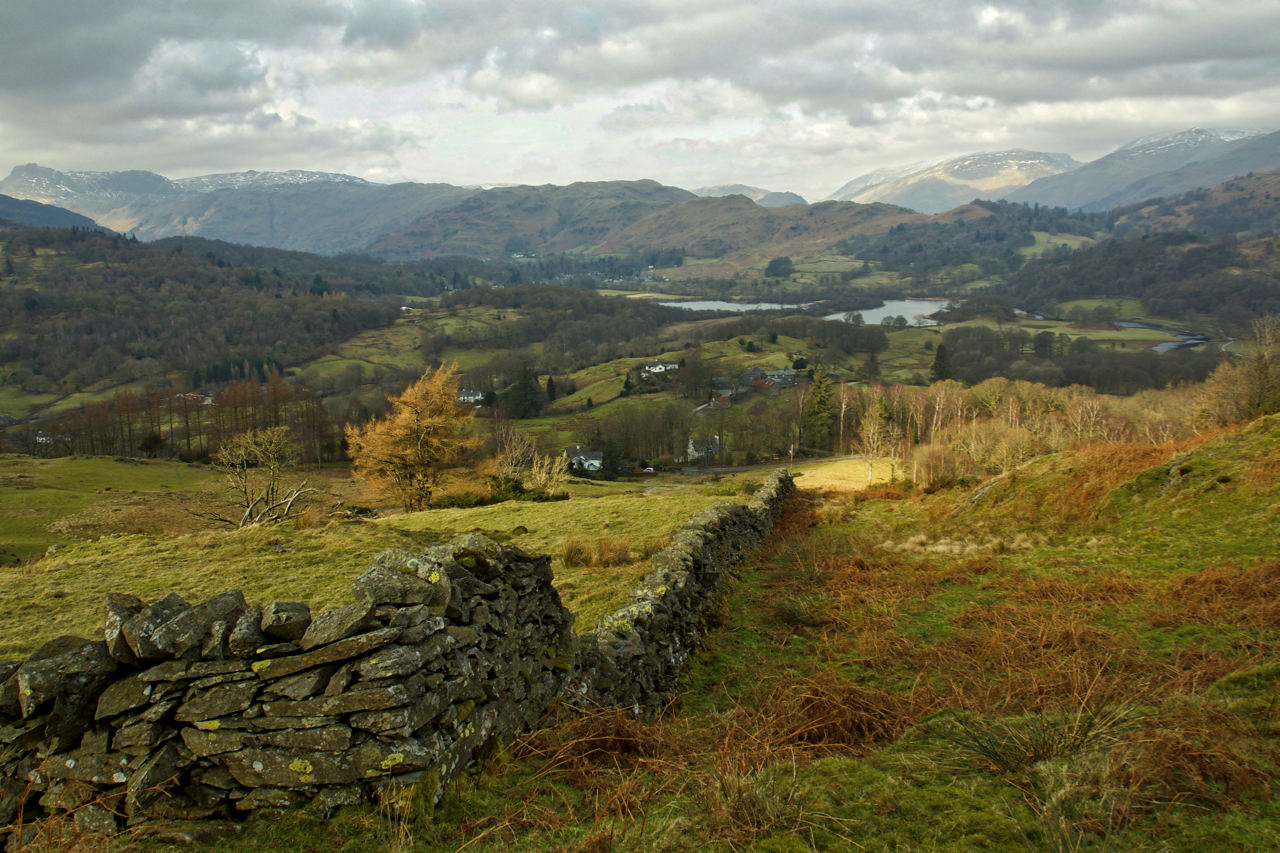
Elterwater from Black Fell
Above Skelwith Bridge. Black Fell is a little frequented National Trust property. Looking north west towards the lower Langdale valley. The twin lakes are in fact one – Elterwater. Open Space Web-Map builder Code
-
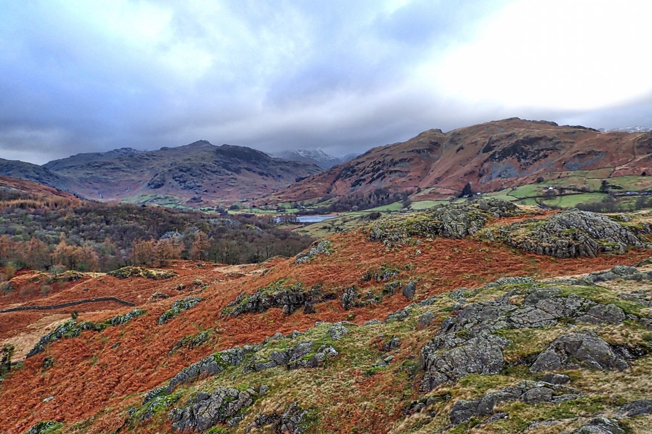
Little Langdale
At a mere 211m height Great How is a small pimple of a hill but with super views of Little Langdale which position at the junction of several packhorse routes from Ravenglass, Whitehaven, Keswick and Ambleside led to a busy valley. But, as well as farming and quarrying the slate in the hills, one particular…
-
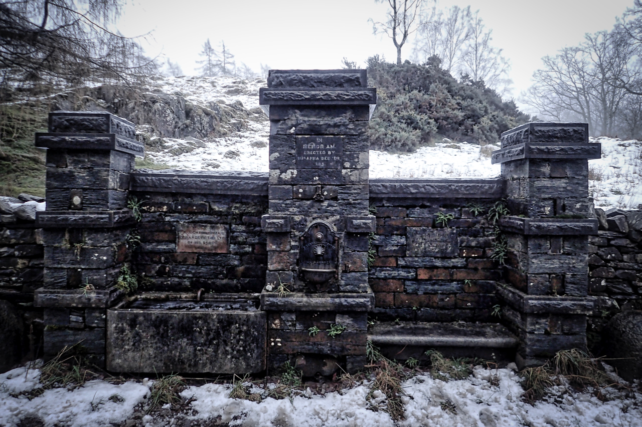
Susanna Beever Drinking Fountain
An intriguing elaborate drinking fountain at almost the highest point on the Coniston to Hawkshead road. A Grade II listed building it is made of local slate and has two sections with a central pillar. The left-hand bay is a horse drinking trough with the inscription above: A RIGHTEOUS MAN REGARDETH THE LIFE OF HIS…
-
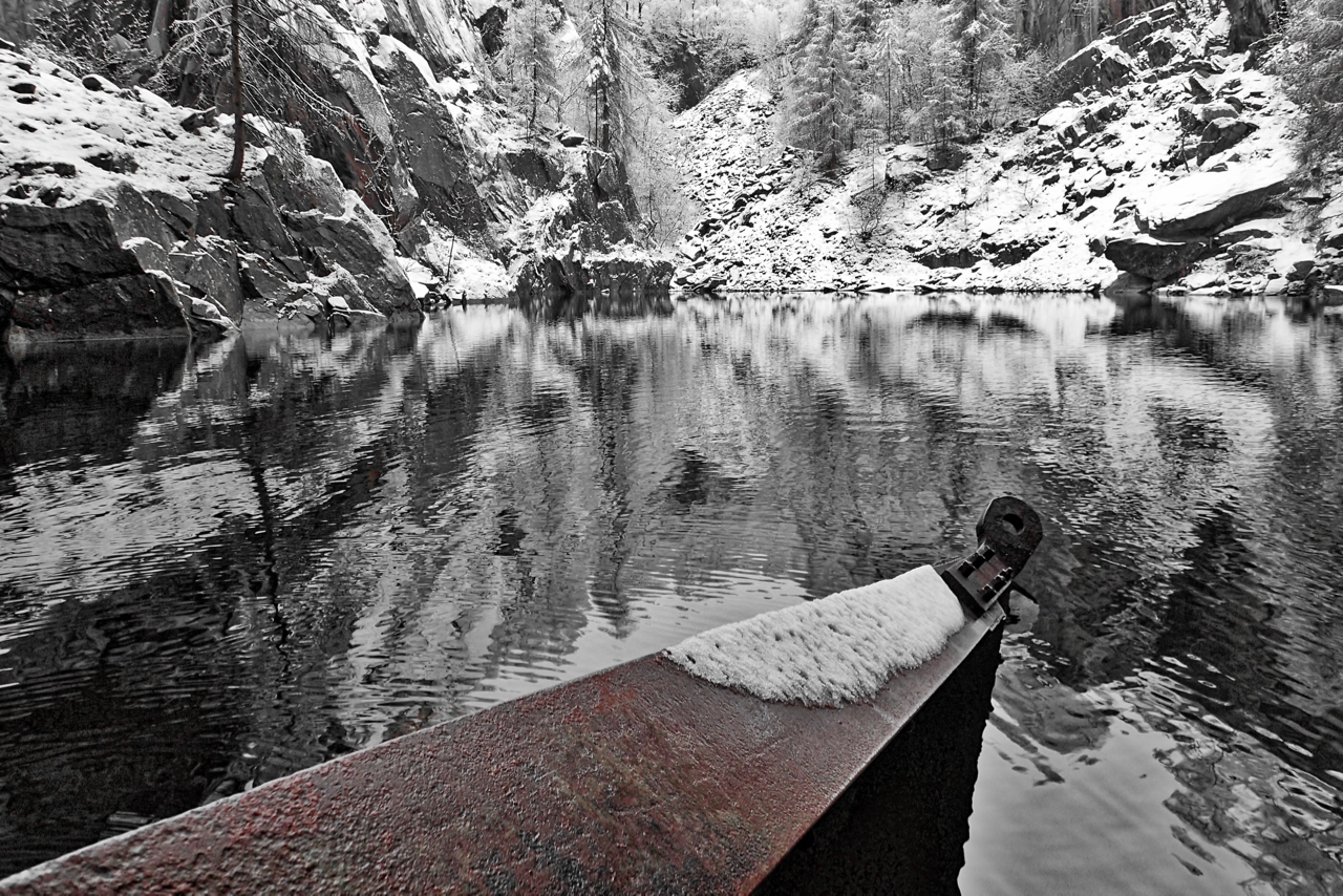
Hodge Close Quarry
Sometimes I forget that the Lake District is largely a manmade environment. This is Hodge Close, a spectacular hole in the ground the result of quarrying for slate. It is said to be 100m deep of which a half is below the level of the pond. An overnight dump of snow making the whole scene…
-
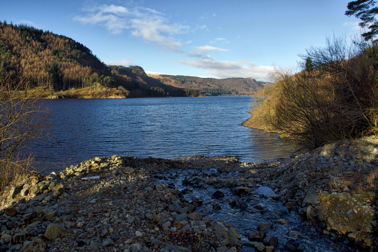
Thirlmere
I’ve never been down to the shore of Thirlmere, never really had much to do with the valley, in fact, just the occasional fell or orienteering race from Steel End Farm. I’m usually whizzing by on the A591 heading for Ambleside or Coniston. Thirlmere is a reservoir, manmade in the 19th-century to provide water for…
-
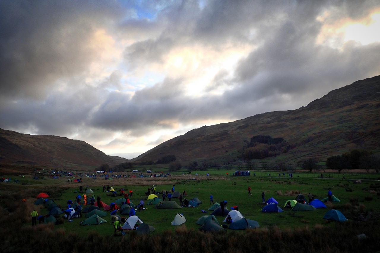
OMM Campsite Cockley Beck
I didn’t post yesterday. For several reasons, not least because I had spent the day high on the Central Fells in horizontal rain, 60 mph winds and zero visibility, it just wasn’t the right day for taking photos. I did get the camera out once but the lens had a film of water on it.…
-
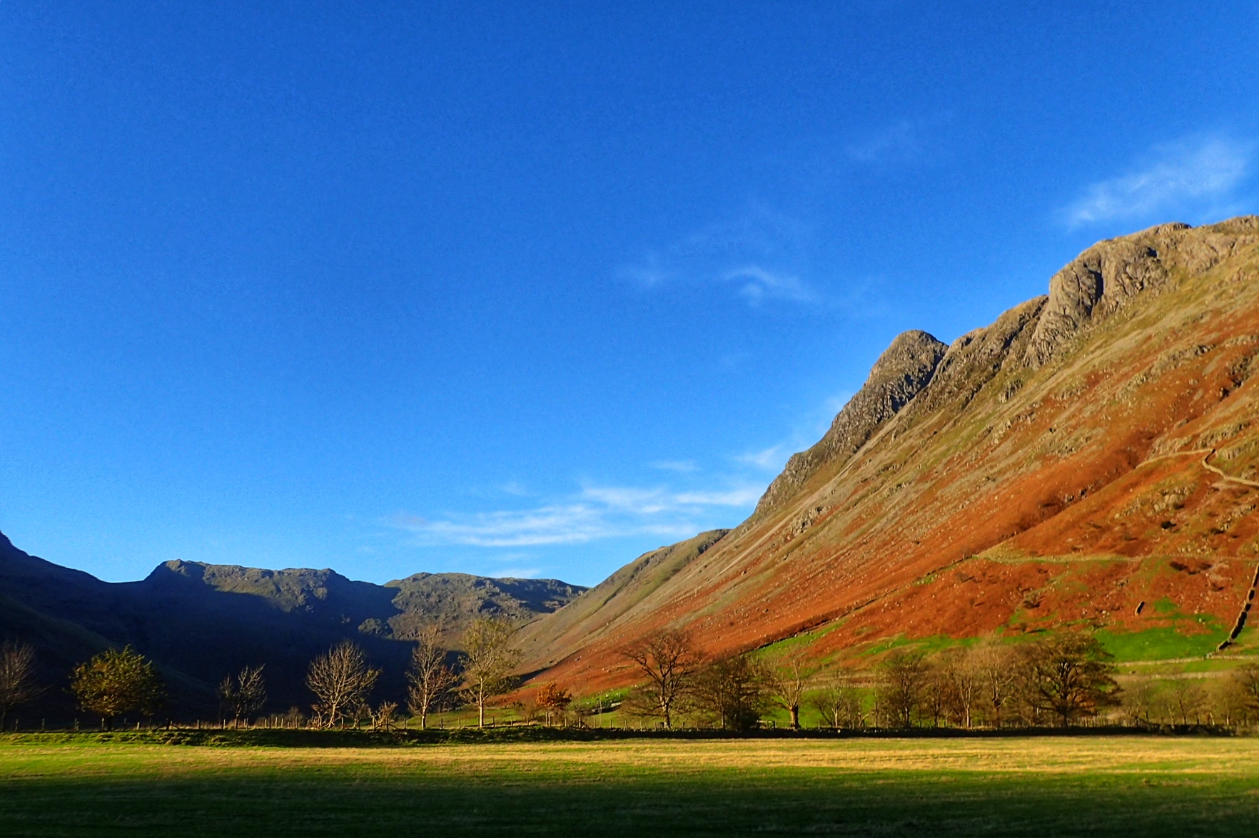
Great Langdale
Blue skies today but the forecast is for rain tomorrow with a 20% chance of cloud free summits.
-
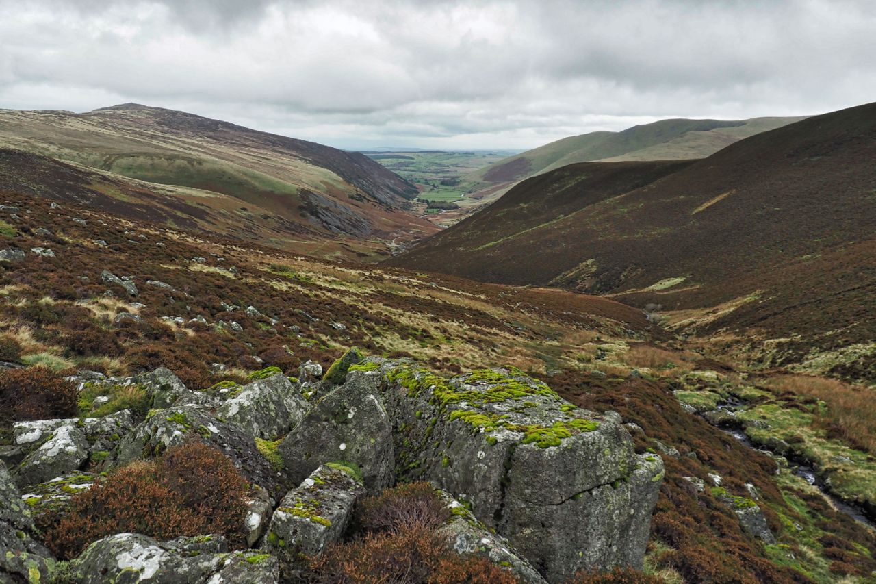
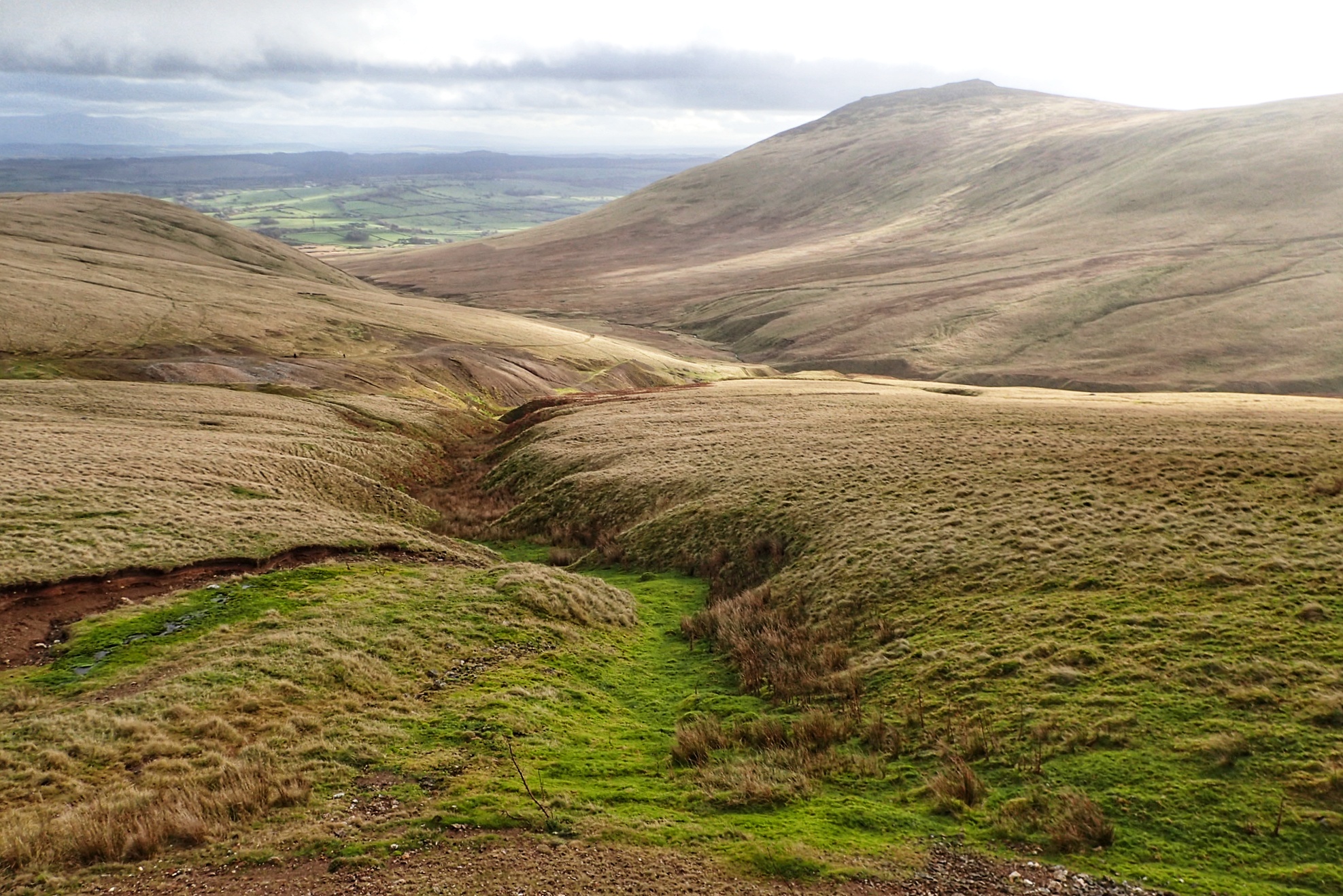
Mosedale
A neighbouring valley to yesterday’s post but far more significant, it’s watercourse, the River Caldrew, having a watershed covering perhaps half the Northern Fells. On the right Carrock Fell with its steep southern flank. A calmer day than yesterday but the high tops covered in cloud. Open Space Web-Map builder Code
-
Carrock Beck
In the Northern Fells with Carrock Fell on the right. 649 metres high with a outcrop of gabbro, the only place in the Lake District where this igneous rock is found.
-
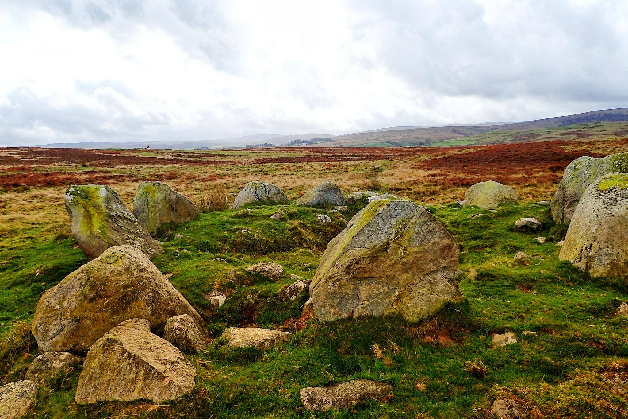
Cairn Circle
An unassuming but impressive stone circle on Moor Divock, a limestone plateau between Pooley Bridge and Askham in the English Lake District.