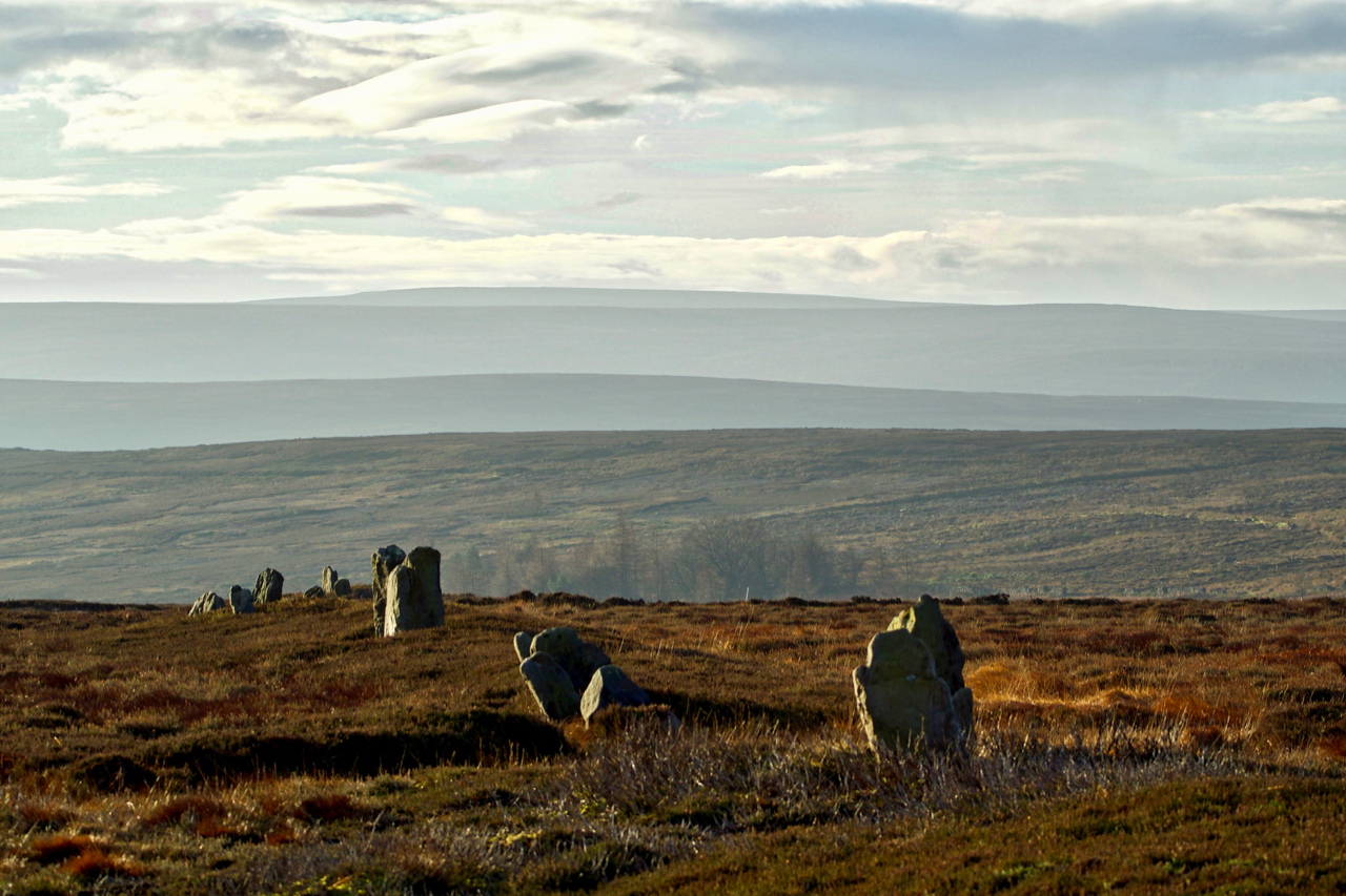
An evocative alignment of standing stones continuing down to North Ings Slack between Commondale and Skelderskew Moors. The stones are part of a dyke, an earth bank with a ditch dug alongside both of which have mellowed over time. The dyke extends for some half a kilometre from the Hob on the Hill boundary stone and dates from the Middle Bronze Age but the alignment of stones may be earlier. It was probably a tribal boundary but no one knows for sure. A warning to the Guisborough lot to keep out of Commondale land. The surrounding moorland is rich in Early Bronze Age barrows and cairn-fields all of which would have existed and been alive in the minds of the dyke builders. The name Skelderskew is probably Old Norse and derived from the personal name ‘Skjǫldr‘ or shield maker.
Leave a Reply