Category: Tabular Hills
-
The Stape Molasses Shale Mine and Railway
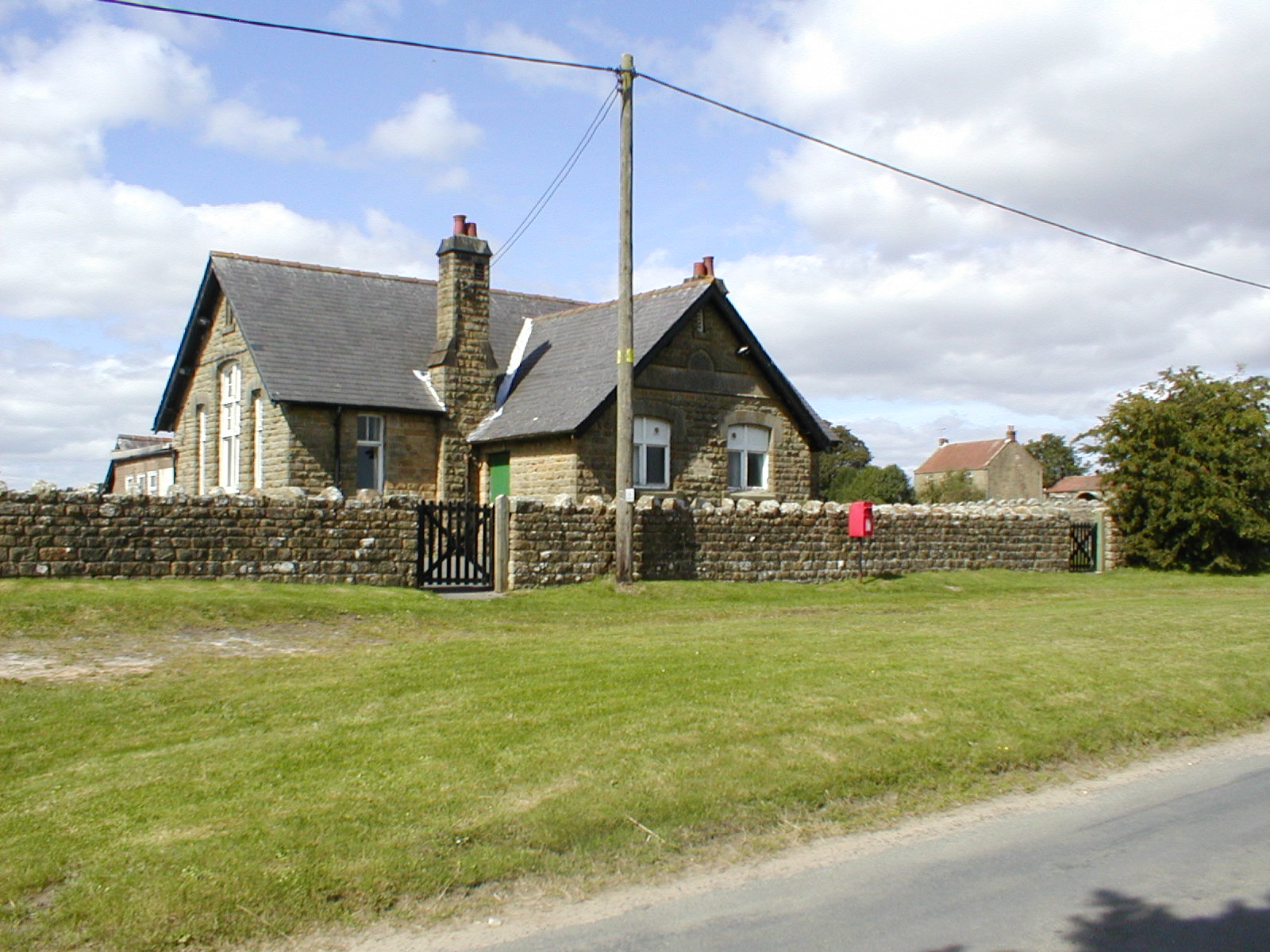
Whilst exploring the depths of the internet, I stumbled upon an article from the Moors Line Magazine, Spring edition of 1983, which delves into the intriguing narrative of the Stape Molasses Shale Mine and Railway. This railway, albeit short-lived, held a peculiar charm crafted to ferry “molasses” procured from a unique geological reserve. Within local…
-
High Bride Stone Dyke, Bridestones
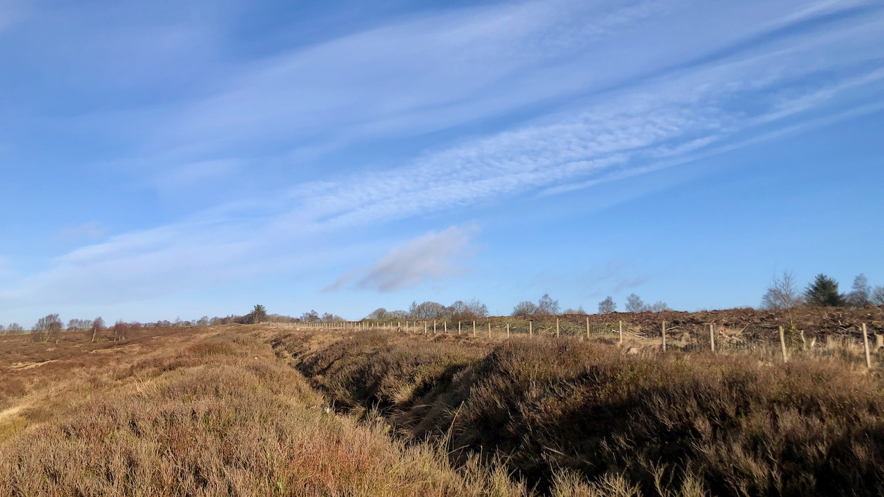
On a pleasant morning at Bridestone Moor, near Dalby Forest, soaking in the apricity, and enjoying the azure sky. Regrettably, clouds gathered post-lunch. However, an opportunity presented itself to inspect an ancient dyke delineating the boundary between National Trust property and the Forestry Commission. Over several winters, we endured all weathers on this moor, dedicating…
-
Lime Kilns of the Tabular Hills
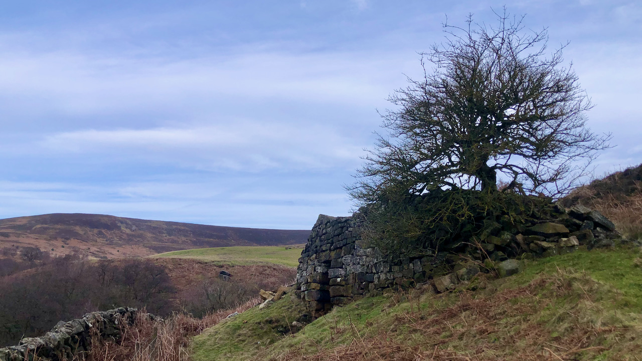
One of the many limekilns that can be seen dotted around the Tabular Hills. These were used to produce agricultural lime to be spread across the fields as a sweetening agent and to replenish losses, a traditional method in the 18th and 19th centuries for improving the fertility of acidic soils. Limestone, extracted from nearby…
-
Tragedy at Snaper House
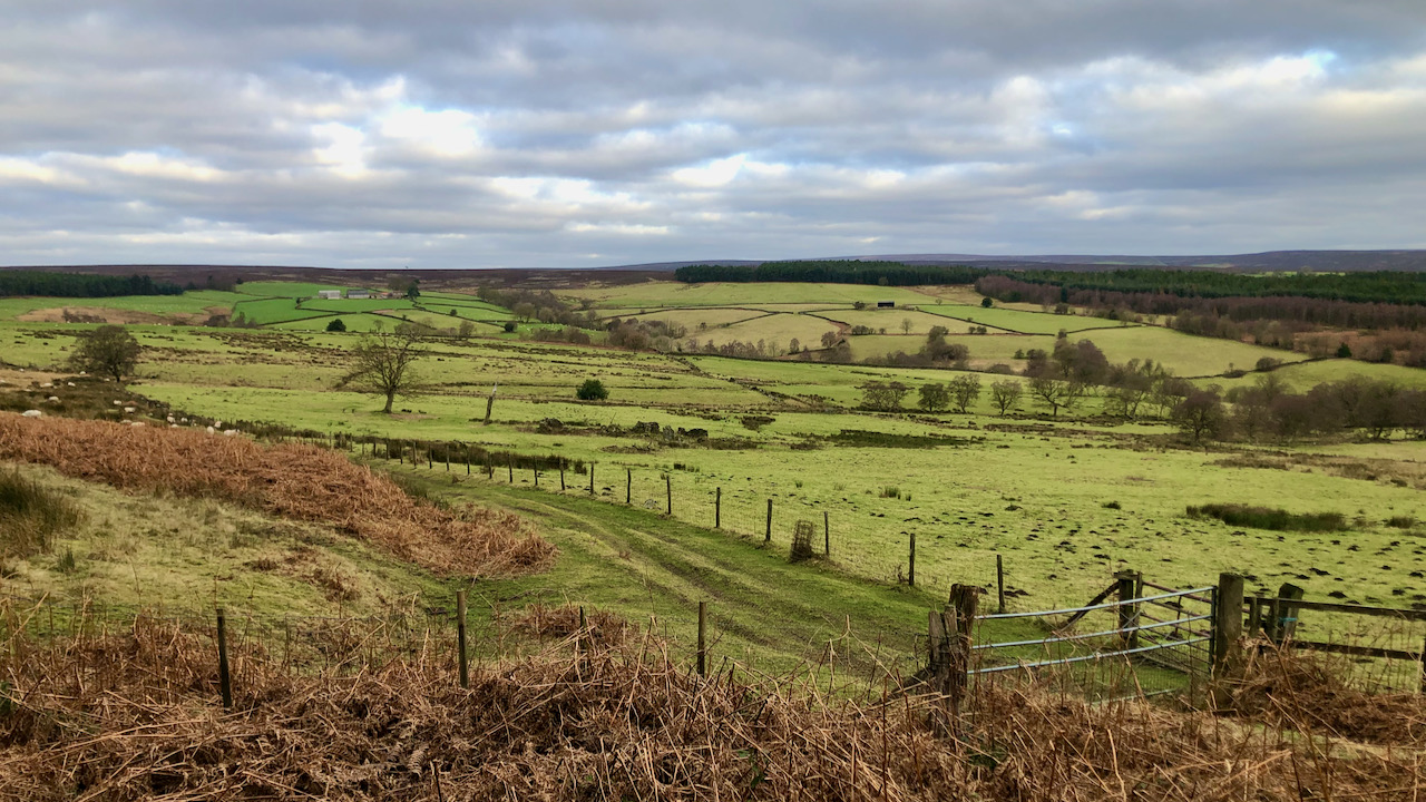
The upper reaches of the River Riccal, one of several valleys draining the southern moors through the Tabular Hills. Downstream, Riccalldale hides behind its wooded, narrow dale entrance. Head up a bit, and the catchment broadens and becomes shallower, going by the name of Cowhouse Beck. It’s mostly a mix of meadow and pasture intakes,…
-
Joseph Foord: The man who brought water to Fadmoor and Gillamoor
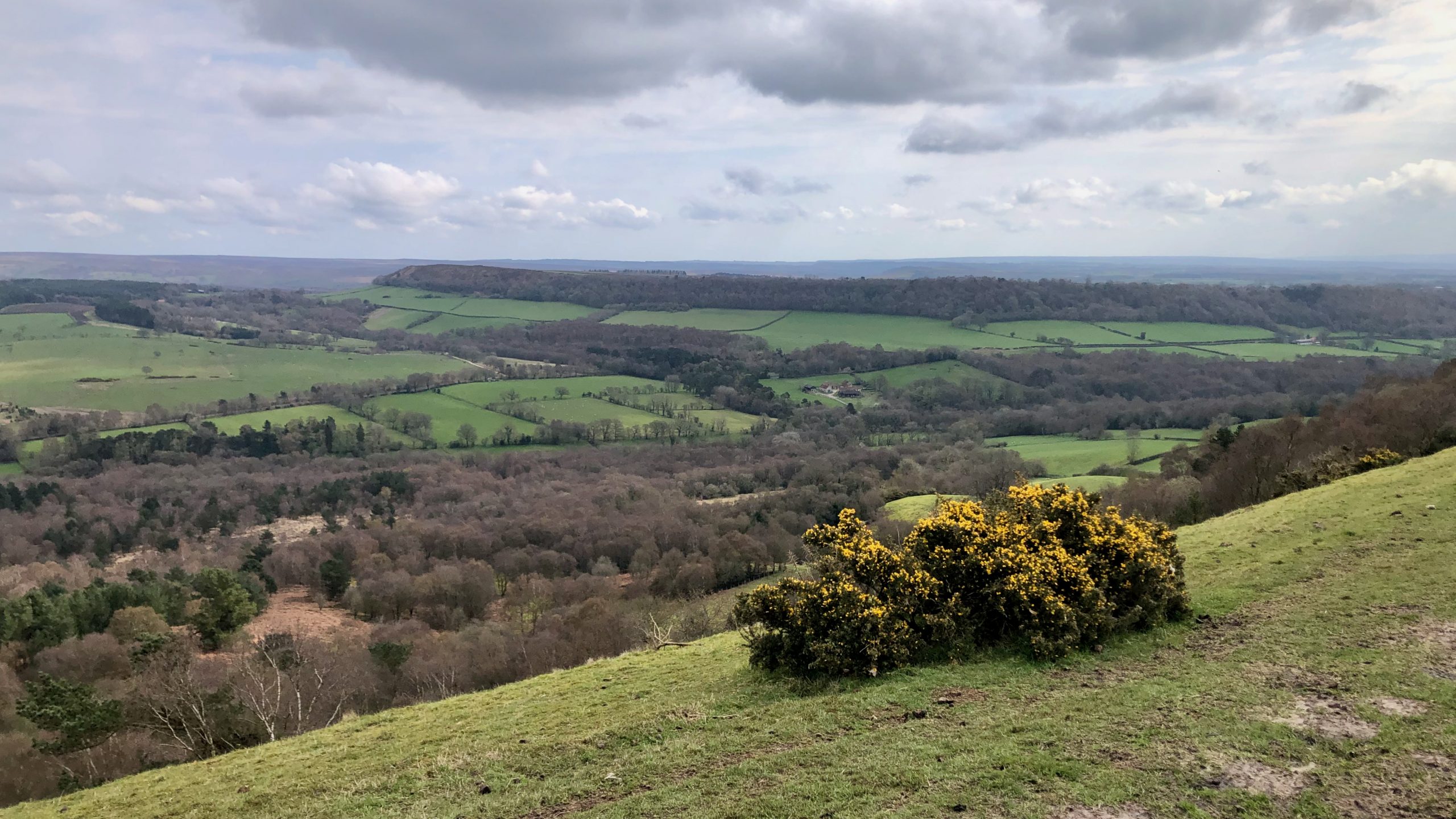
This is Sleighthome Dale, which is drained by Hodge Beck. Bransdale is upstream and Kirkdale is downstream, but it’s unclear where one dale ends and the other begins. Across the dale, there’s a limestone plateau called Boon Hill, with the twin villages of Fadmoor and Gillamoor. In the 18th century, both villages had no easy…
-
Old Byland, a pretty little village in the Tabular Hills
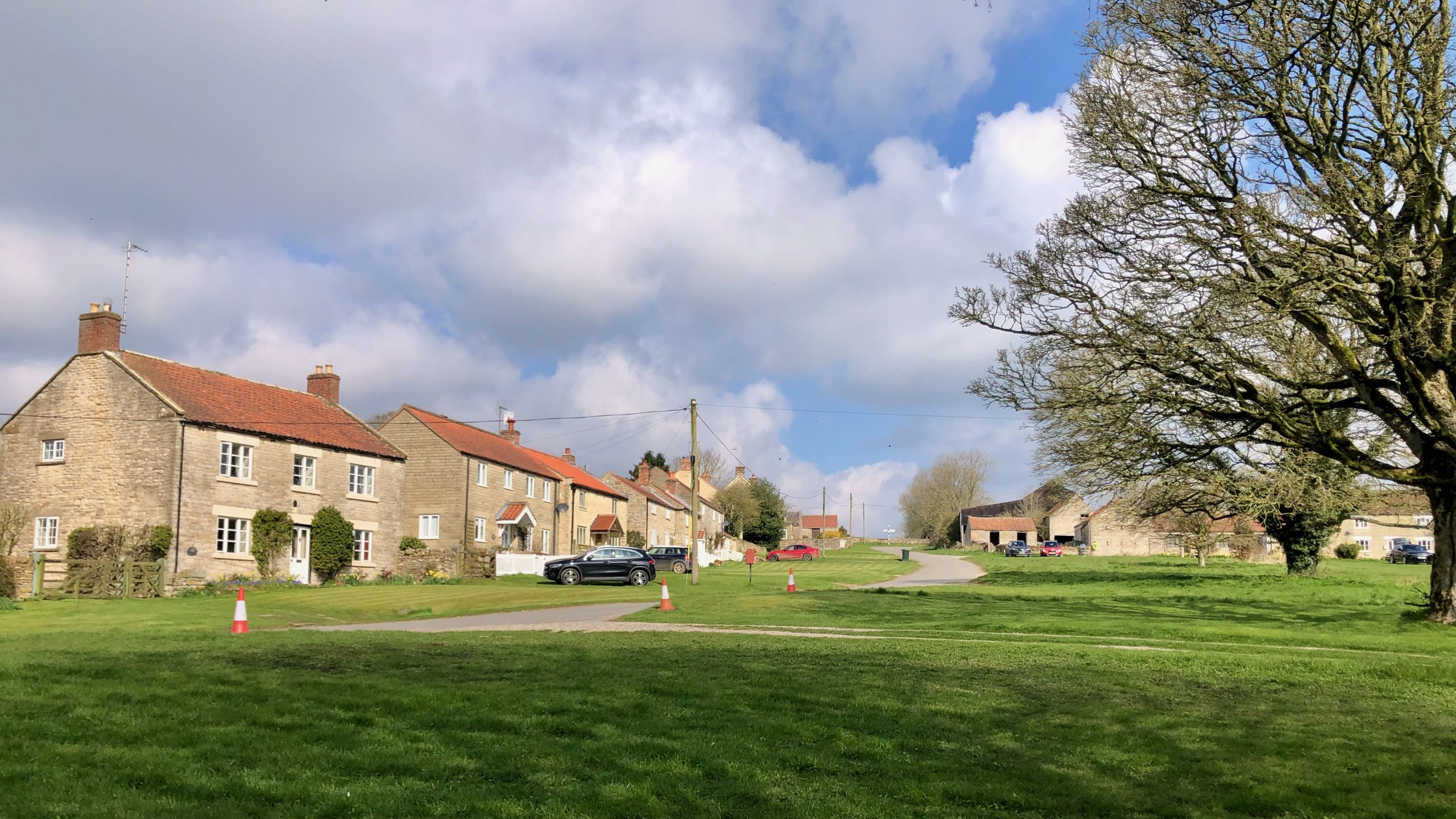
When you enter the village of Old Byland, you’ll be greeted by charming pale yellow-grey cottages made of ooidal limestone surrounding a spacious village green. Getting there is a bit of a journey — we climbed up the long, dry valley of High Gill. But the effort was worth it, as it felt like a…
-
Black Hambleton
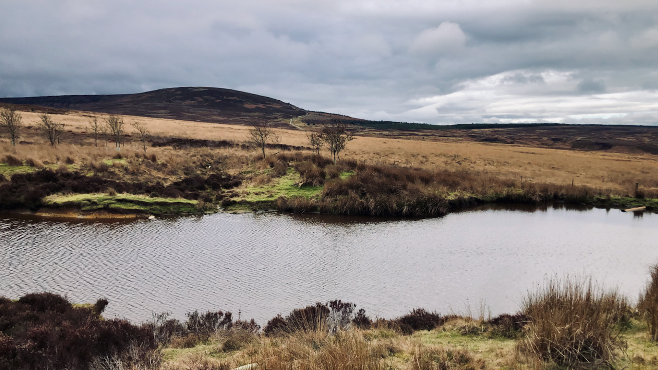
The glooming mass of the flat-topped Black Hambleton, the northern end of the calcareous Tabular Hills that range from Roulston Scar in the south. Climbing up to its right is Hambleton Street, part of the drover’s road that once extended from Scotland along which cattle were driven to be sold at the markets of York,…
-
Whitestone Cliff or White Mare Crag
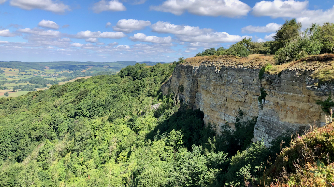
The pride of the Tabular Hills. Not really white, but a pale-buff-colouring. Comprised of limey sandstone and oolitic limestones, it’s alternative name is supposed to come from a tempermental thoroughbred racehorse which galloped from the training ground on the plateau and leapt down the crag with her rider. The rock looks friable and the base…
-
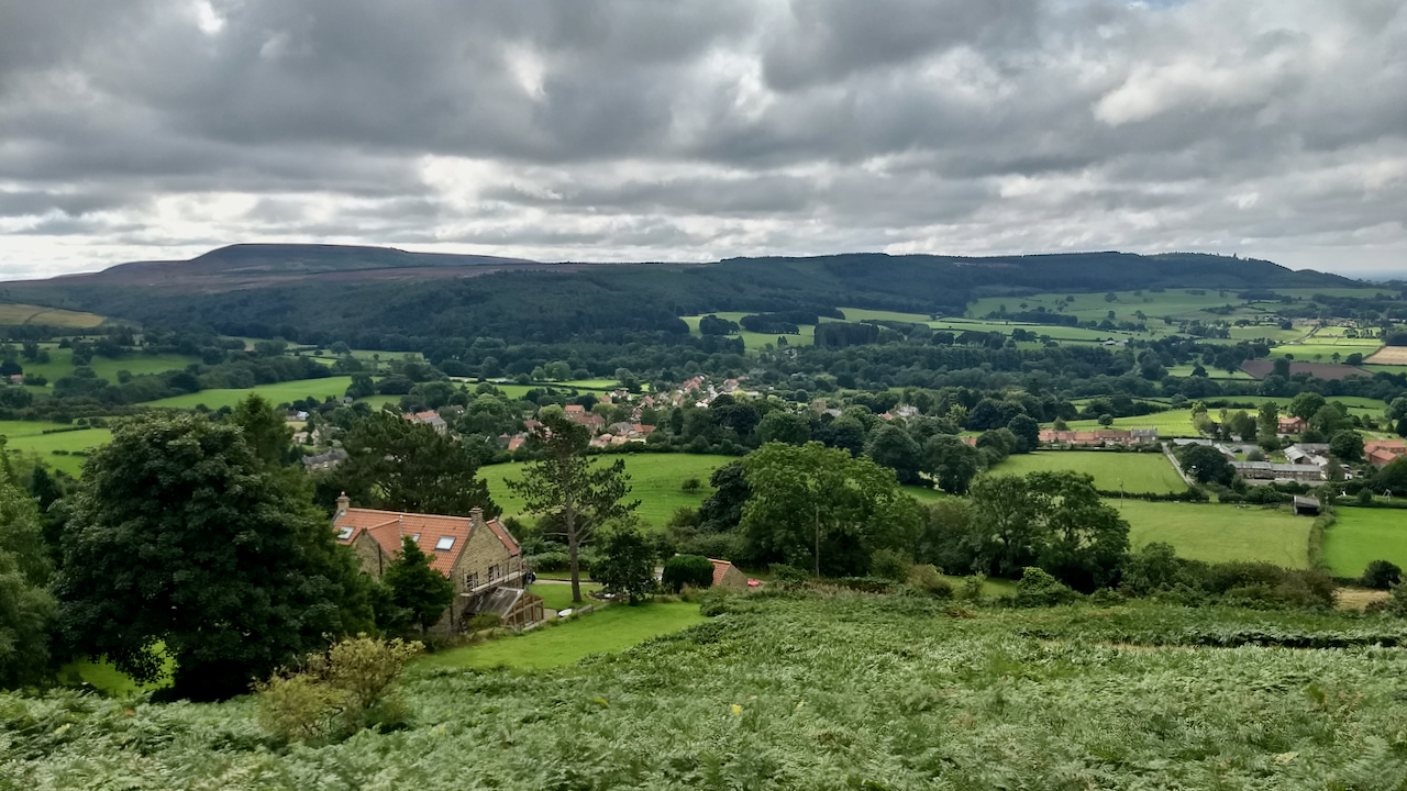
Osmotherley with Hambleton End in the distance
“Osmotherley is an endearing village on the fringe of the Hambletons and the Clevelands. It lies about a mile and a half to the east of the main Thirsk – Yarm road, but it is most accessible from Northallerton. The King’s Head hotel at Clack Lane End points the way to the village. It is…
-
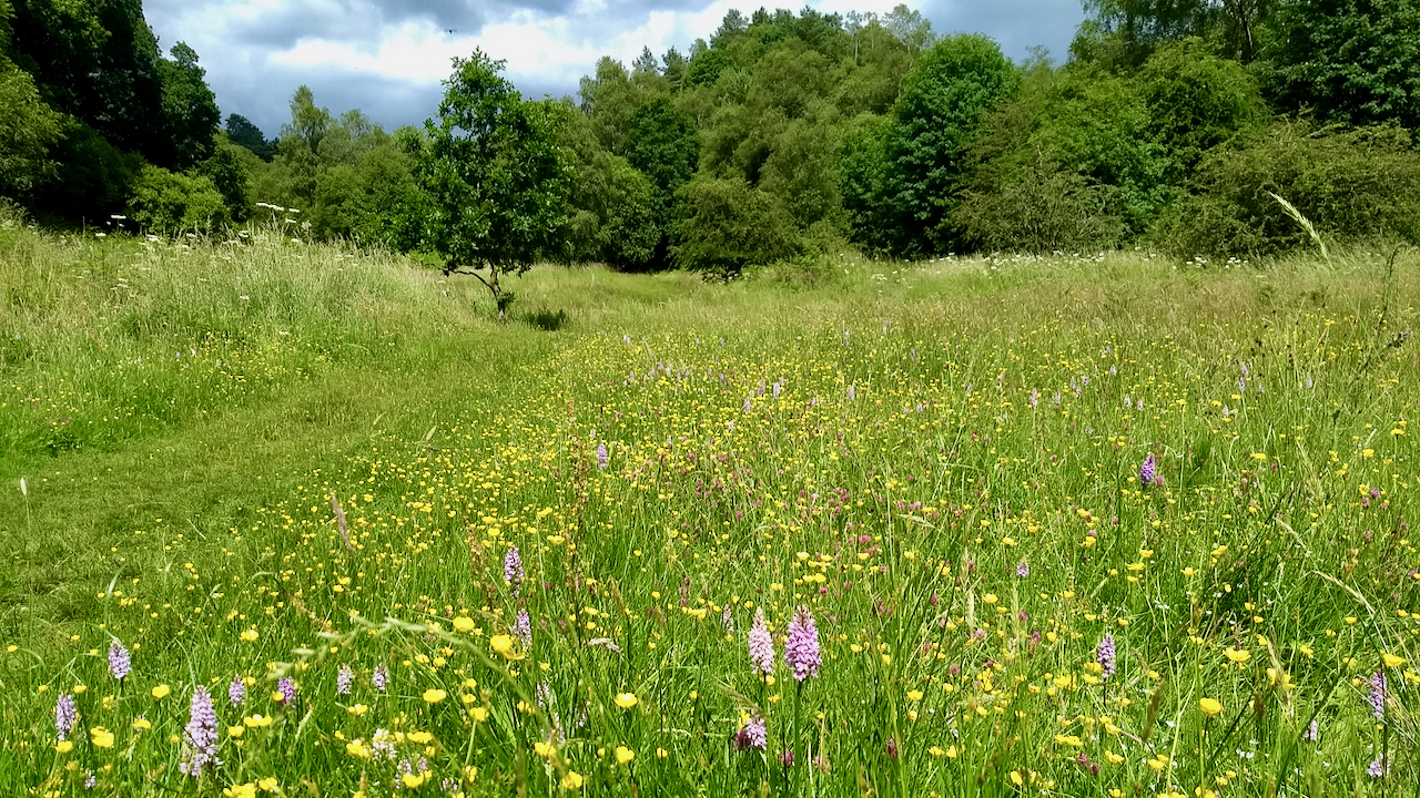
Dovedale
In the south of the Moors. It’s been over eighteen months since I was last here. The rich grassland of Dovedale is part of the National Trust’s Bridestones property. Prior to 2015, the dale was heavily infested with bracken, but since then the Trust has carried out annual cutting, by hand usually in two sessions.…