Category: North York Moors
-
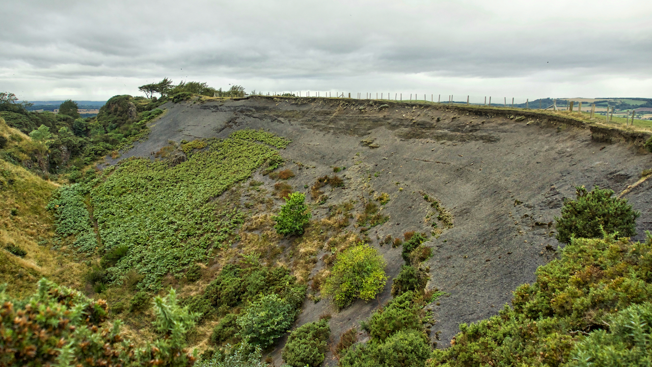
Cliff Rigg Quarry
It was the extensive quarrying of whinstone during the 19th and early 20th centuries that created this massive gash in Cliff Rigg. Extremely hard, this narrow wall of igneous rock was formed by molten larva protruding through the sedimentary layers and was much valued for cobble setts and in road building. It has been almost…
-
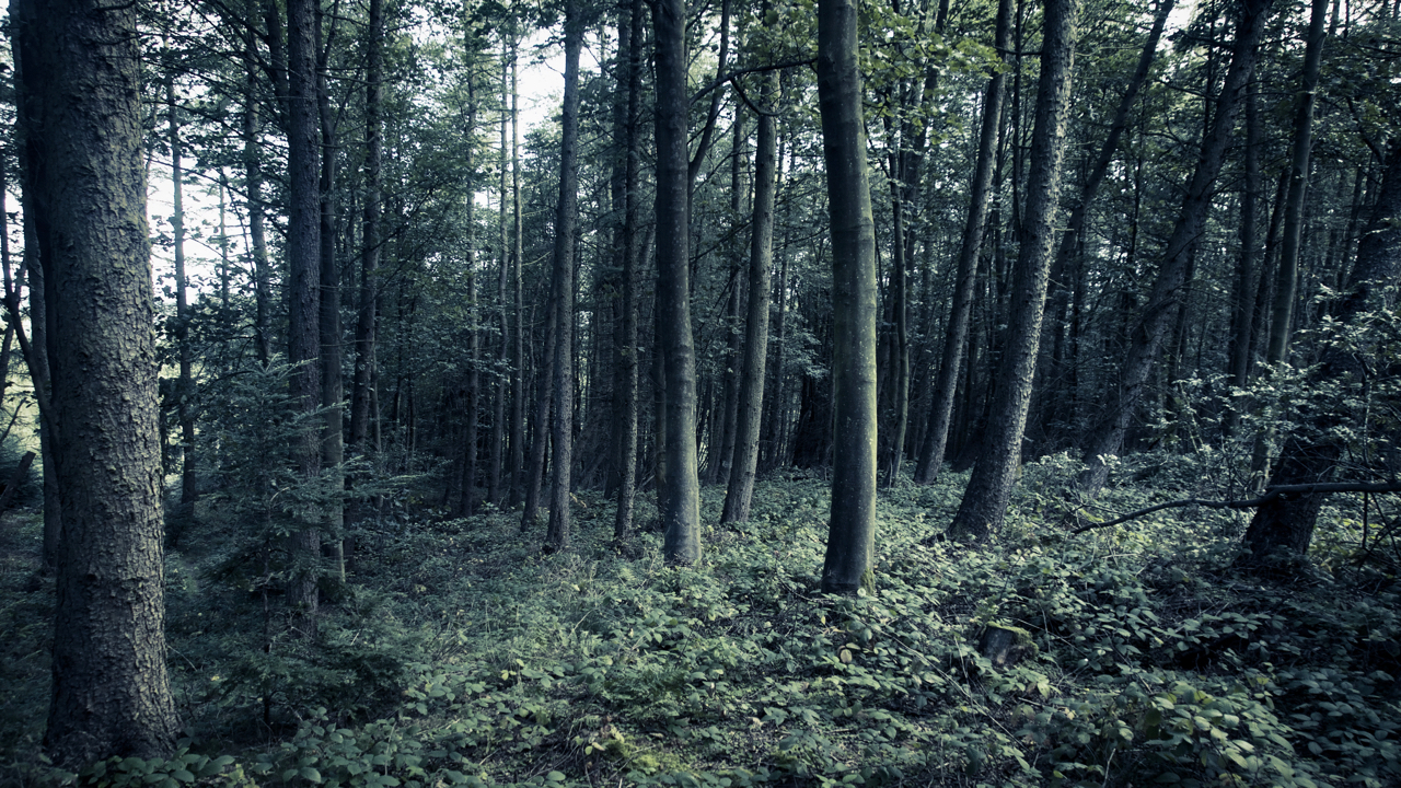
Waldeinsamkeit
A few days ago there was a posting on the village FaceBook page about a new “mindfulness” group being set up. When I enjoy the quiet tranquillity of the woods and moors that are right on our doorstep I find that I’m just a bit sceptical of the desire to find contemplation and peacefulness in…
-
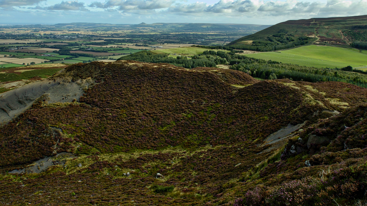
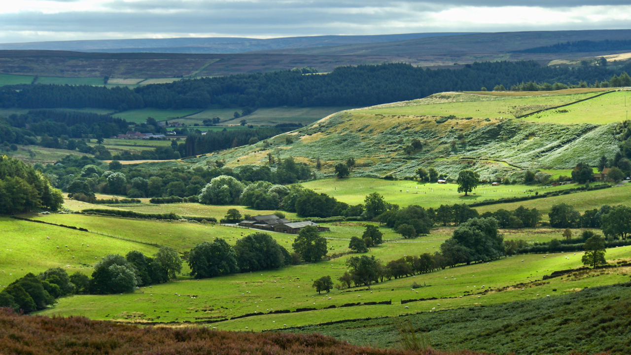
Carlton Bank
It is hard to imagine that 150 years ago this would have been a scene of intense industrial activity. For over a century there had been quarrying of the Jurassic shales needed in the production of alum crystals for use as a mordant in the dyeing of textiles and as a tanning curing agent. Alum…
-
Airy Holme
A view from Roseberry Topping to Capt. Cook’s Monument across the great bowl of Airy Holme, Slacks Wood and Ayton Bank, just before a tremendous downpour. The National Trust boundary of Roseberry is the fence line in the foreground just before the bracken limit. Aireyholme Lane can just be made out crossing left to right.…
-
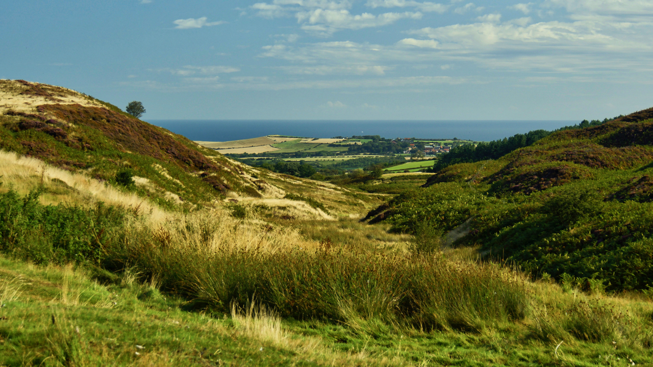
Birk Dale
The upper end of Borrowby Dale which drains into the North Sea at Staithes. On old maps, it is Birk Dale, on modern Birch Dale. I prefer to use the old name. The high point on the coast in the distance is Beacon Hill between Staithes and Port Mulgrave. Hinderwell is the village on the…
-
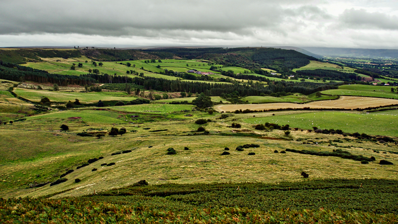
Lonsdale
There is a wonderful phrase in Hebridean Gaelic, rionnach maoimi, meaning literally a mackerel panic but used to refer to the shadows cast on a hillside by clouds moving across the sky on a windy day. I am sure there must be a kindred word for a shaft of sunlight falling on the ground through…
-
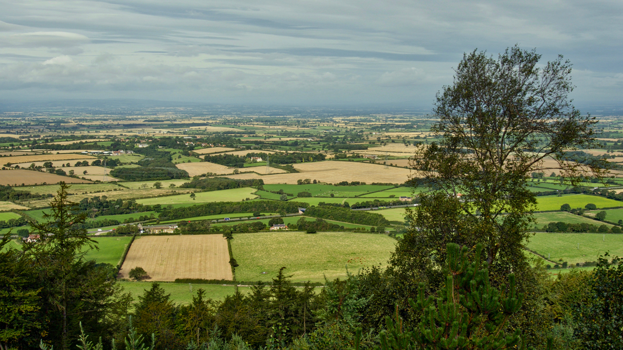
The Cleveland Tontine
A view from Swinestye Hill across the Vale of Mowbray. The Cleveland Tontine Inn, bottom left at the junction of the A19 and A172 is officially the northeasternmost point of the vale which boundary heads arbitrarily in a northeasterly direction to Scotch Corner. To the south is the Vale of Mowbray, to the north the…
-
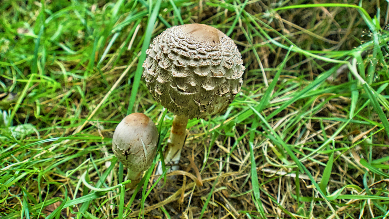
Parasol Mushroom
A day spent up to my neck in bracken clearing the footpaths on Roseberry Topping so little opportunity for photography. I think this is a young Parasol Mushroom (Macrolepiota procera). Eventually, it will unfurl into, nor surprisingly, a parasol. It is reputed to be the best of the edible mushrooms but I have no confidence…
-
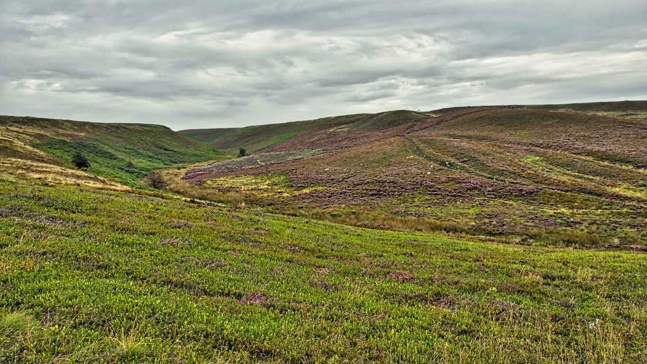
Ewe Crag Beck
A run out from Danby to Sis Cross and back via Ewe Crag Beck, a deep long meandering valley. At its head it becomes Ewe Crag Slack where it is shallow, broad, and flat, forming a boggy col in the watershed. With “no stream worth mentioning” Frank Elgee suggests in his book The Moorlands of…
-
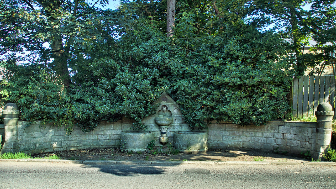
Easington drinking fountain
On the busy A174, a neglected Grade II listed structure almost smothered by shrubbery. The listing says … “Drinking fountain and troughs, alongside road, dated 1873. Dressed sandstone. Lion mask water spout in trefoil-headed niche under ornamented gable with 3 roundels bearing initials: “M.L.C.”, “M.G.M.”, and “K.L.M.” Semicircular basin on foliate stem flanked by semicircular…