Category: Hutton Lowcross
-
Cutting the First Sod on the Codhill Branch on the Gisbro’ and Middlesbro’ Railway
Cutting the First Sod on the Codhill Branch on the Gisbro’ and Middlesbro’ Railway. — It having been generally circulated throughout the town of Gisbro’ and neighbourhood that the first sod on the Codhill branch of the Middlesbro’ and Gisbro’ railway for the working of ironstone would be removed on Monday last, a large company…
-
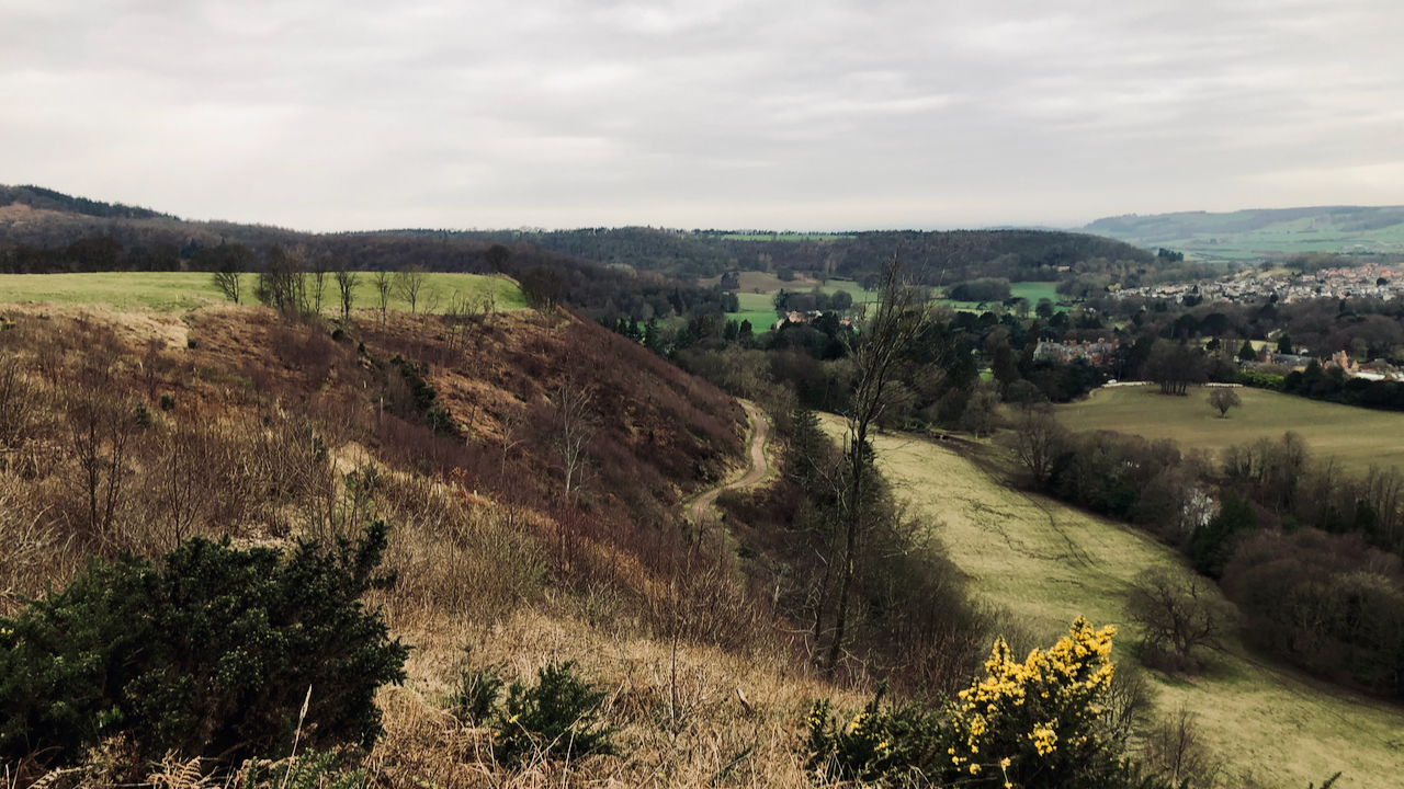
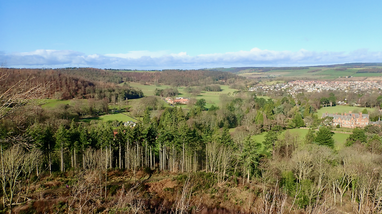
Ruthergate
My plan was to take a photo of an old route from Guisborough climbing Kemplah Bank on to Hill Plain. The pasture fields of Hill Plain can be seen in the top left corner, while Ruthergate is recognisable by the diagonal line of dark green gorse that stands out against the brown of the withered…
-
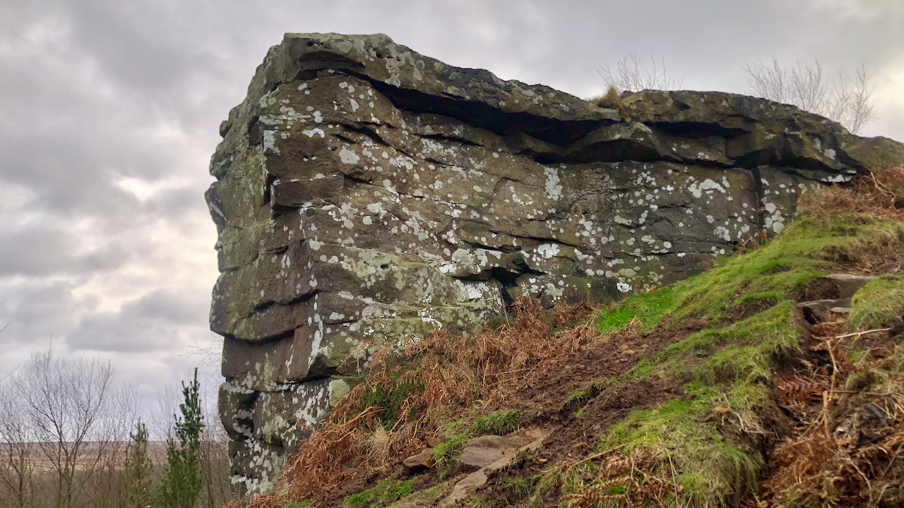
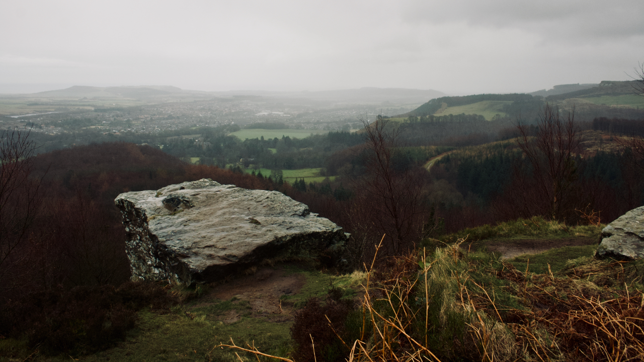
The Hanging Stone
Overlooking the heavily forested Hutton Lowcross, the sandstone outcrop at the end of Ryston Nab is well known as the Hanging Stone, presumably because it ‘hangs’ over the valley, rather than it being a site of execution. Ryston Nab, the nose on which it’s on, has a more interesting etymology. It survives from the 14th-century…
-
Thing
Last week, I was fortunate enough to be shown around the Scottish Parliament Building in Edinburgh, designed by Spanish architect Enric Miralles. It’s a Marmite type of building — you either love it or loathe it. It certainly has some idiosyncrasies, but, on the whole, I liked it. The central communual area has an outdoor…
-
Sir Alfred Pease
“I always considered that the best, highest and most difficult pheasants in England were the ones sent over the guns from Hanging Stone and the hill tops of Hutton and Pinchinthorpe, for they were not only very high and fast, but divers and twisters. I see guns on November 21st and 22nd shot 562 of…
-
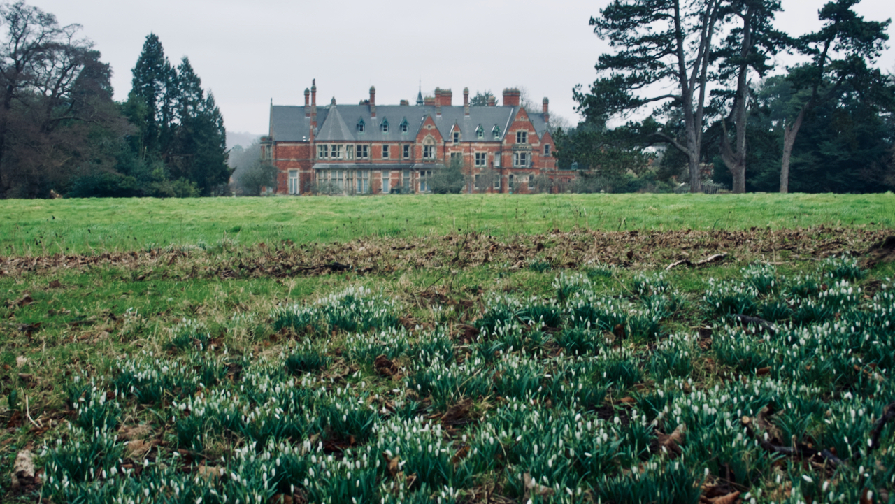
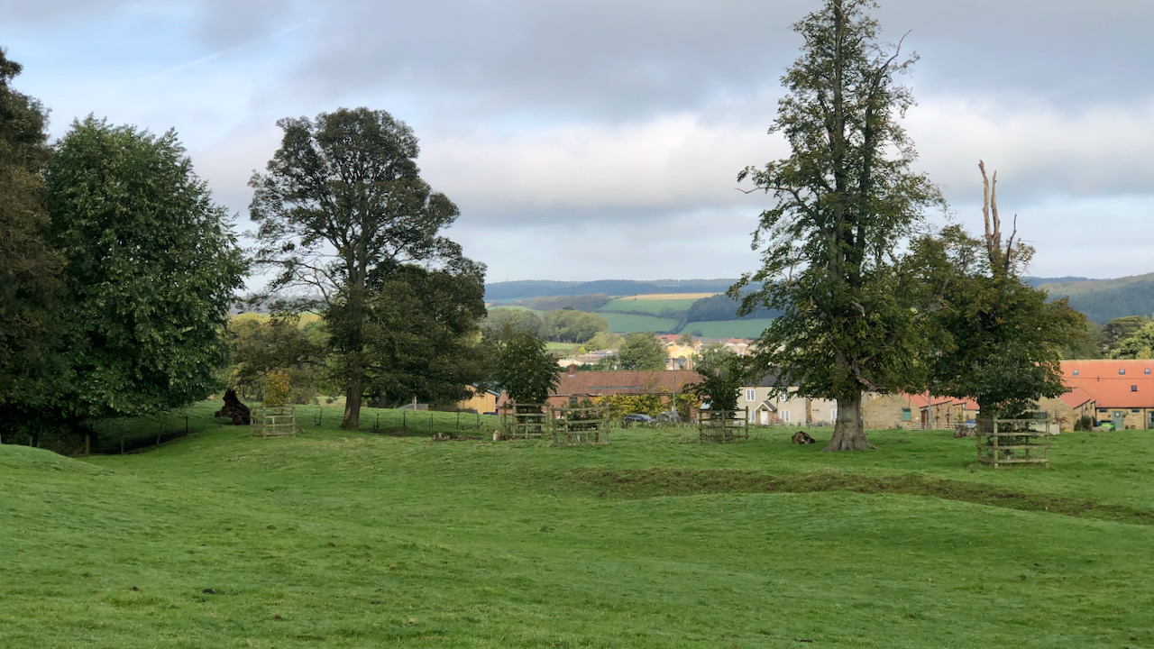
Hutton Hall
When the Hutton Hall estate — the home Sir Joseph Whitwell Pease — was put on the market in 1903, it was described as ”a singularly beautiful and truly valuable property, situated in a rich and fertile valley …. comprising about 1,629 acres, mostly and comprising a distinguished family mansion in the domestic Gothic style,…
-
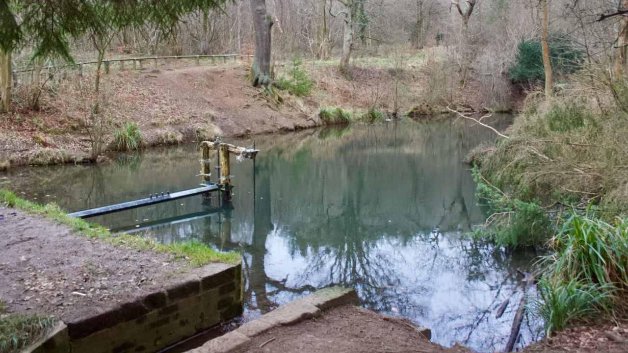
Blue Lagoon
It definitely had a blue tinge about it, a result of the mineral washing out of the alum shales. Blue Lagoon or Blue lake is a late-19th-century reservoir built to provide a head of water to hydraulic hoist and water turbines at Home Farm. It was built by Sir Joseph Whitwell Pease, the industrialist and…
-
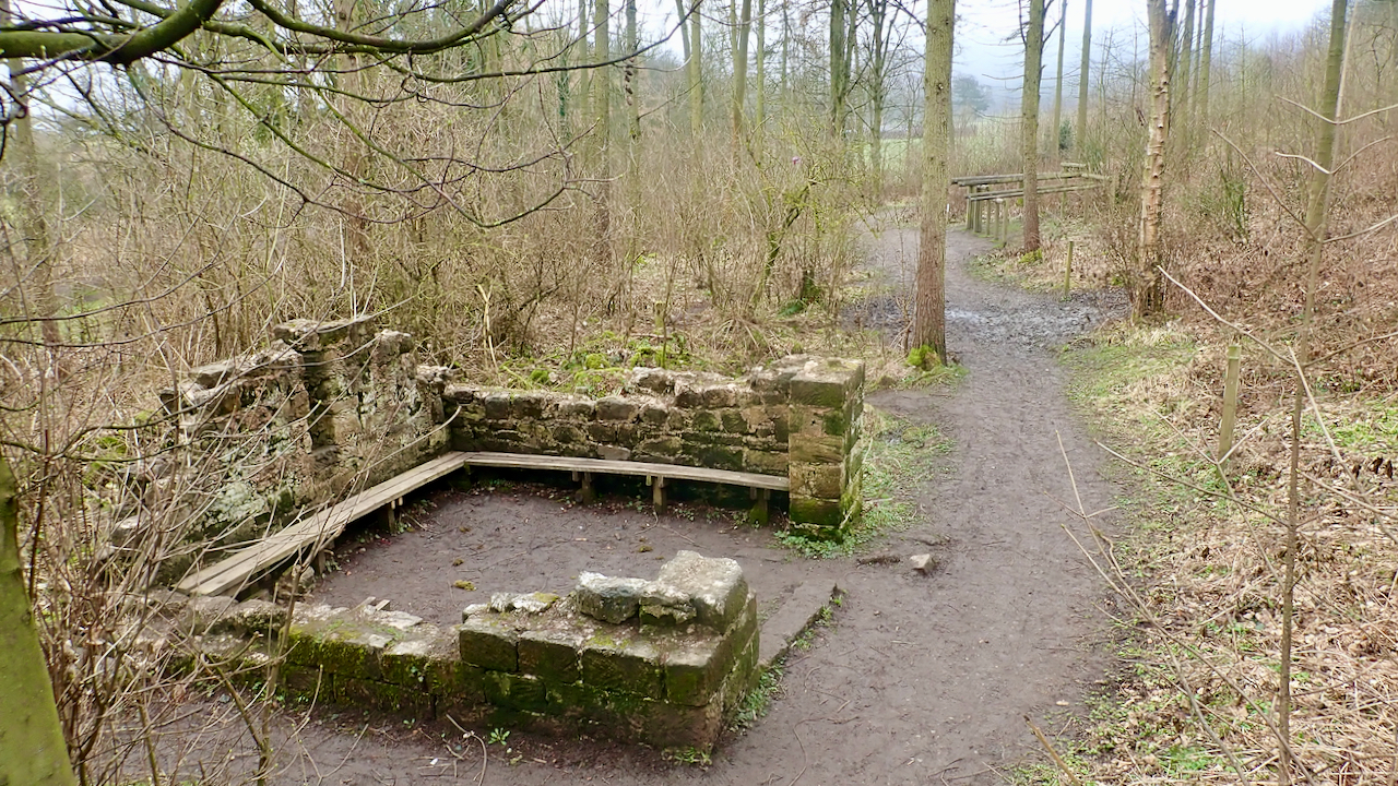
The Hospital of St. Leonard of Lowcross
A miserable morning so I thought I had better take a photo or two before venturing up into the gloom. The old Ordnance Survey map shows a “Leper Hospital (Site of) A.D. 1392” to the left of centre within the curve of the track. This location is confirmed on the North York Moors Historical Environment…
-
Hooton
One of my regular runs during this latest lockdown has been from Pinchinthorpe Walkway back home to Great Ayton, so I have become fascinated by the ancient township of Hooton, or to use its modern name, Hutton. So much so that the spline of the much thumbed book I have, “Two Ancient Townships – Studies…
-
Bousdale Brickworks
With cloud shrouding the moorland tops, I kept low and, taking advantage of the winter vegetation die back, had a little potter around the old brickworks at Bousdale, now part of a fitness course for the Pinchinthorp Visitor Centre. A ‘Brick Field’ is shown on the 1856 Ordnance Survey map (surveyed 1853). It is thought…