Category: Greenhow
-
Midnight Corner
Today’s post comes swift and direct, plucked from the heights of the Ingleby Incline, that rapid ascent from the Cleveland plain to the moor’s crest in just over a mile. Unveiled in 1861 and closed in 1929, this line’s purpose was to transport Rosedale Ironstone to the steel mills of Ferryhill in County Durham. Down…
-
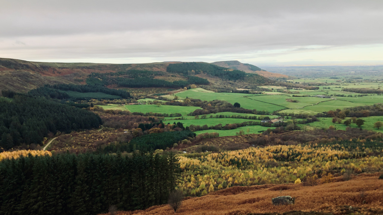
Greenhow Botton
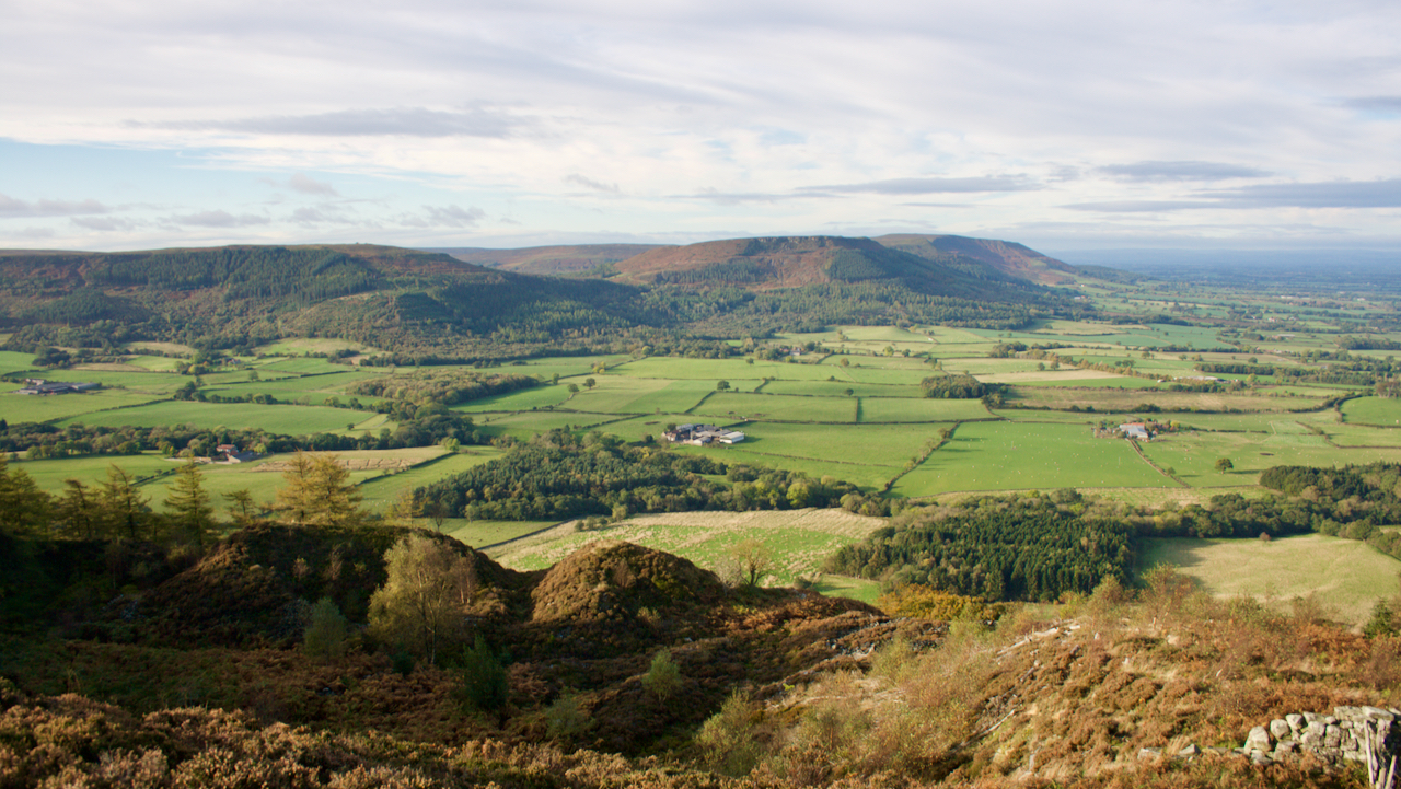
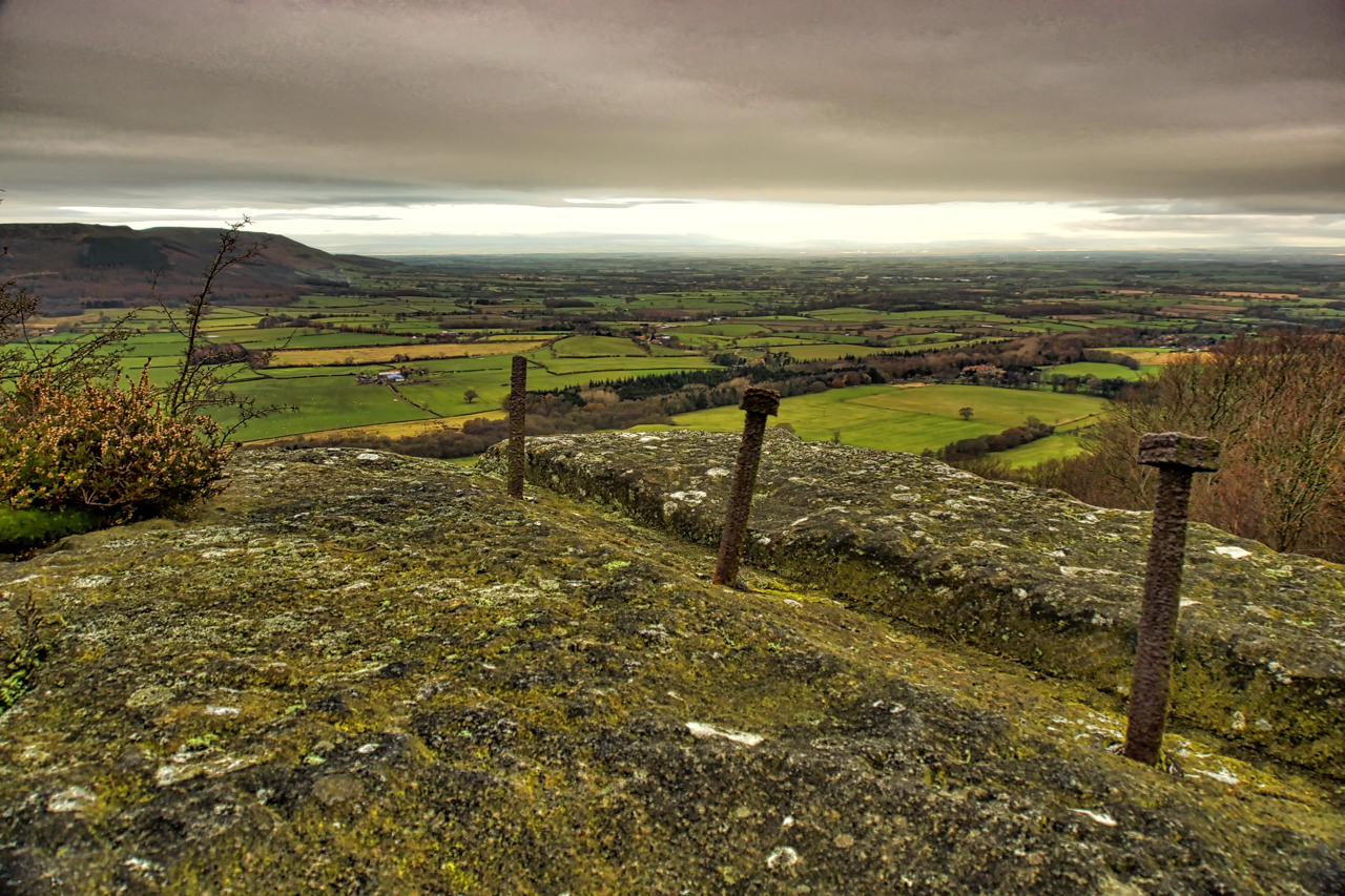
Midnight Corner is rumored to have derived its name from the fact that it faces north, and during winter, it never receives sunlight. Midnight Farm is located on the extreme left and barely visible due to the haze. It’s unclear which name came first, Midnight Corner or as Midnight Farm. Midnight Corner doesn’t appear on…
-
The Great Landslip of 1872
A hill of many names, Cushat Hill, White Hill, Clay Hill. According to the first O.S. Map published in 1857, the prominence is White Hill, the lower part of the road climb is Clay Hill Bank, and the upper part Cushat Hill. Just to be clear, Hasty Bank is the south face. The road of…
-
Midnight Corner
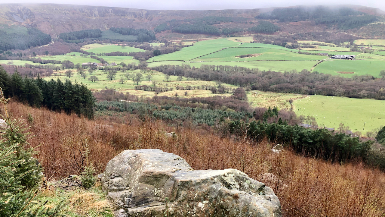
A pretty drouky day. Snow flakes as big as cats’ paws but melting on reaching the ground. I kept low, exploring little used tracks of Greenhow Bank, sheltered by the forestry. This area of Sitka spruce must have been cleared about five years ago, so I must have seen the view before but it’s only…
-
Ingleby Stone Quarry Company
A wander from Bank foot on a bright sunny morning with clear views of the Cleveland Hills. This is from abandoned sandstone quarry on Greenhow, a quarry operated by the Ingleby Stone Quarry Company, the stone from which was lowered down to the Rosedale Railway by an incline known as Wren’s Incline. The flat basin…
-
The Cleveland Hills
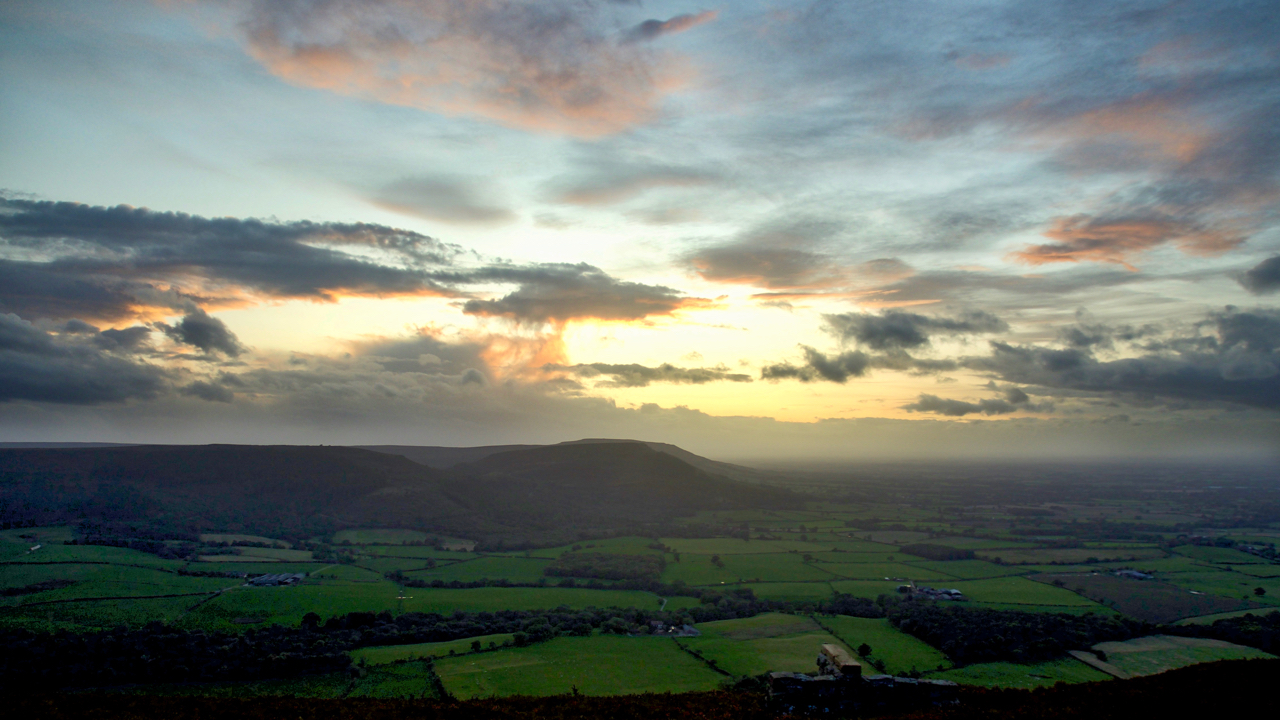
Up onto Greenhow Bank to catch the sunset only to find it fizzled out when the sun dropped behind a low bank of cloud. But still enough light reflecting off higher-level clouds. A view to the Cleveland Hills across the fields of Greenhow Botton. Open Space Web-Map builder Code
-
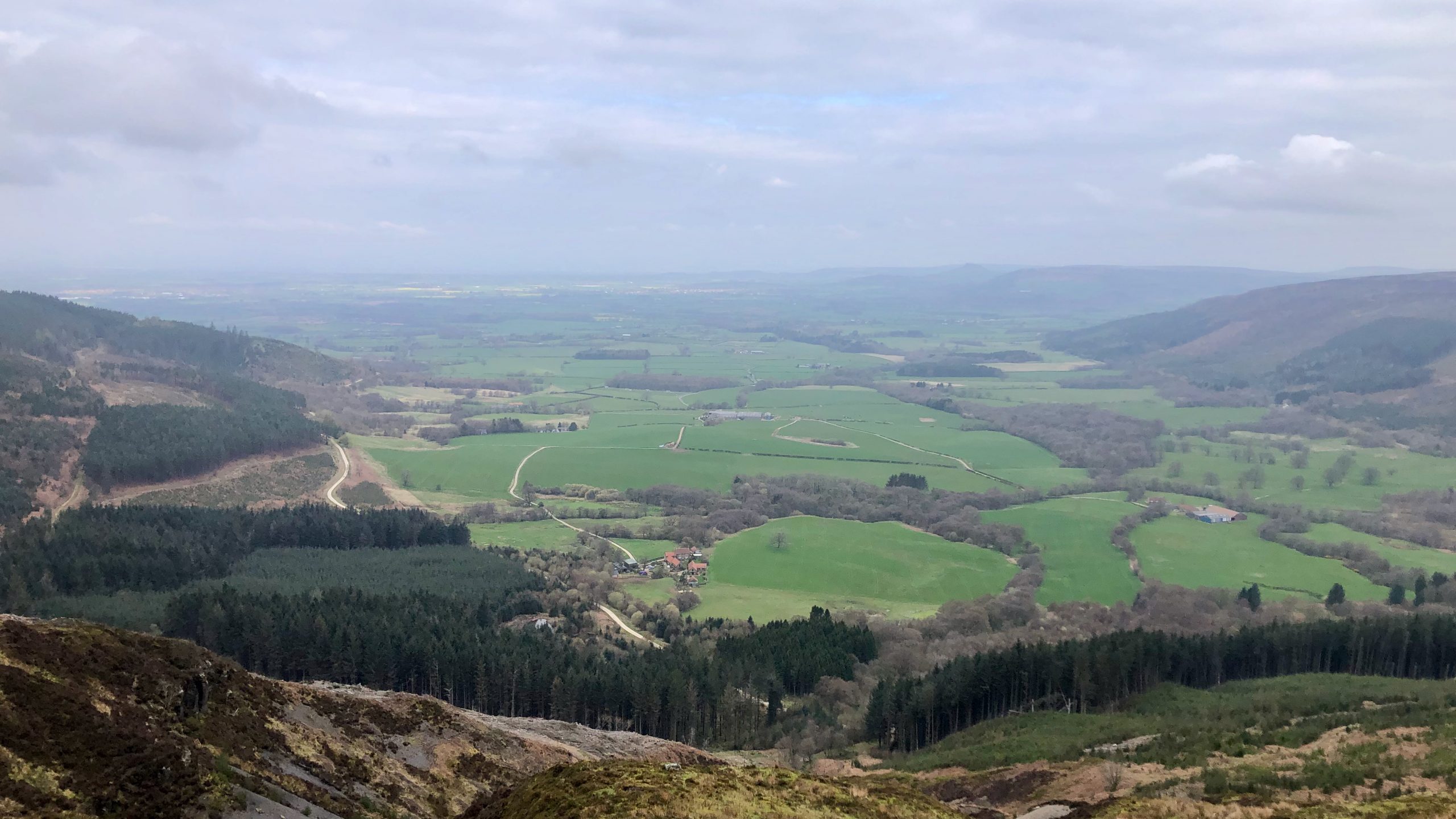
Greenhow Botton
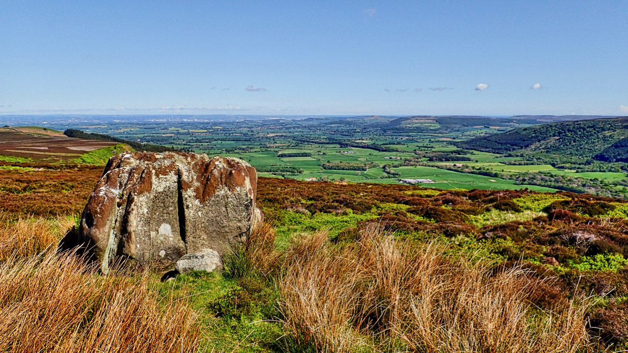
That deep embayment at their western extremity, Greenhow Botton, around which the moors attain their greatest elevation of nearly 1500 feet, is perhaps the most remarkable feature of the hills. The Botton lies almost a mile to the south of the line of the main range of uplands and has remarkably steep and precipitous sides…
-
Siberia
Greenhow Botton, often known as Midnight Corner. Felling has opened up new views. Not such a gloomy place. And somewhere in the cleared forest stood the temporary construction camp for the Ingleby Manor ironstone mine. It was named as Siberia and later reused for construction workers of the railway incline to Rosedale. Open Space Web-Map…
-
Park Plantation Quarry
First snow of the year. Nothing more than a flurry but still snow. Went searching for the site of a plane crash on Ingleby Bank. On 9 June 1941 an Armstrong Whitworth Whitley Mk. V from the No.51 Sqn. RAF. flew into the hillside in poor visibility. It was returning to RAF Dishforth from a…
-
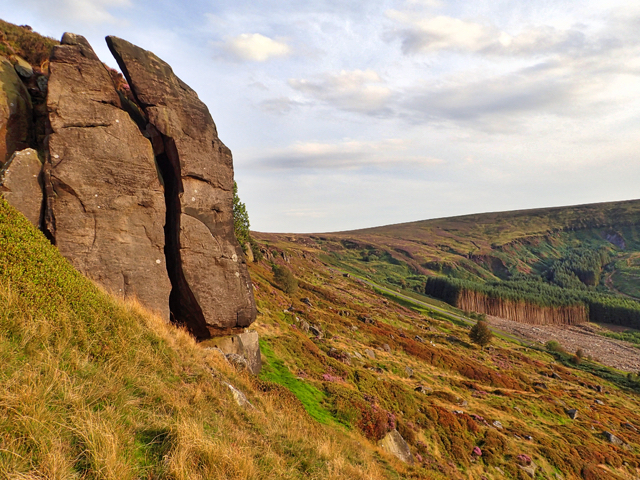
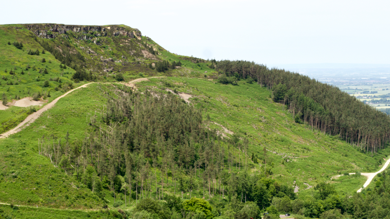
Greenhow Bank
A sultry evening view towards Botton Head where the forestry plantations are systematically being clear felled. The Ingleby Incline, a former railway incline, can be seen ascending the bank right to left. Greenhow Bank is capped by a series of crags and rock outcrops over a distance of a hundred metres or so. This crag, with…