Author: Fhithich
-
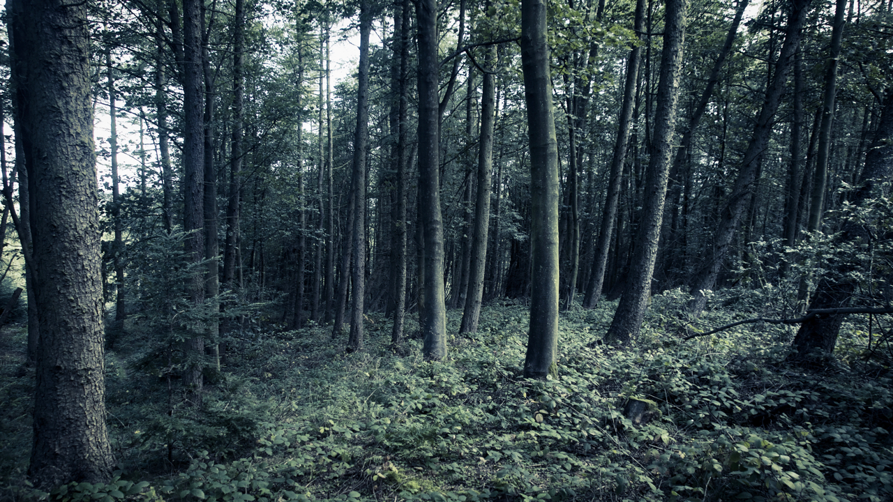
Waldeinsamkeit
A few days ago there was a posting on the village FaceBook page about a new “mindfulness” group being set up. When I enjoy the quiet tranquillity of the woods and moors that are right on our doorstep I find that I’m just a bit sceptical of the desire to find contemplation and peacefulness in…
-
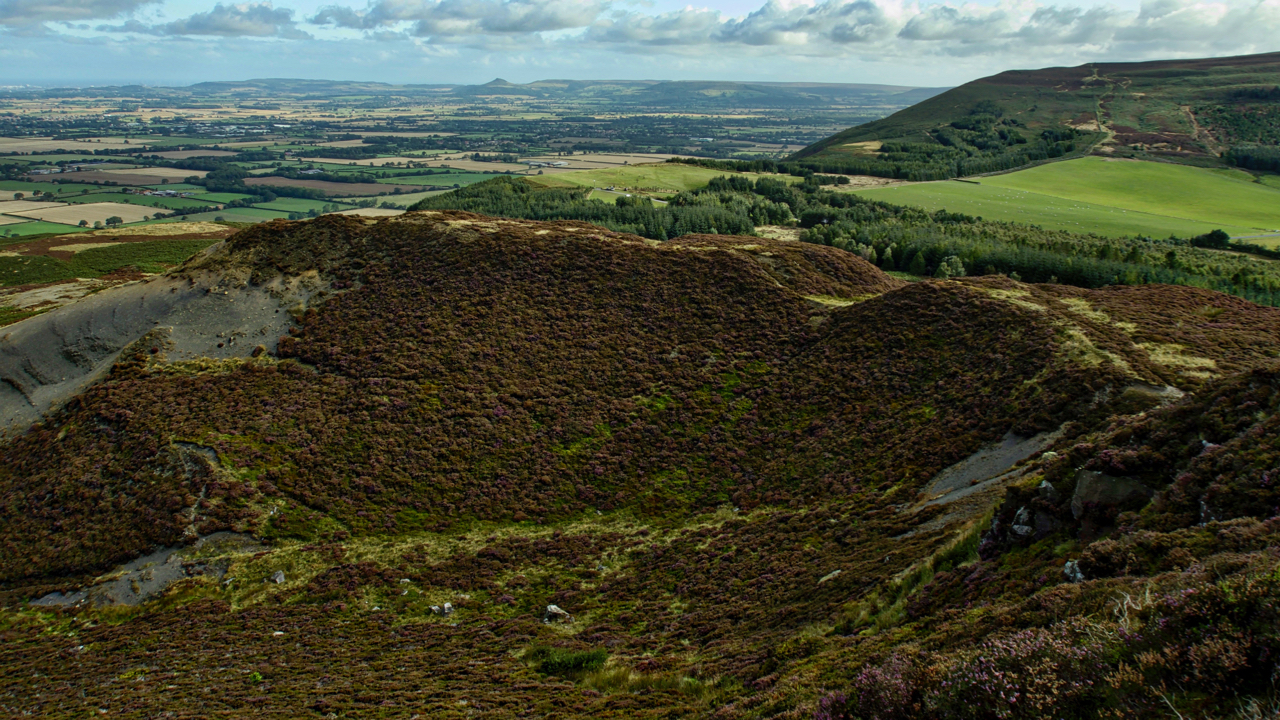
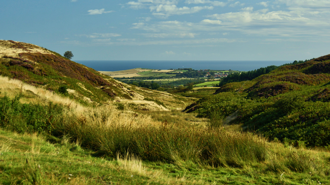
Carlton Bank
It is hard to imagine that 150 years ago this would have been a scene of intense industrial activity. For over a century there had been quarrying of the Jurassic shales needed in the production of alum crystals for use as a mordant in the dyeing of textiles and as a tanning curing agent. Alum…
-
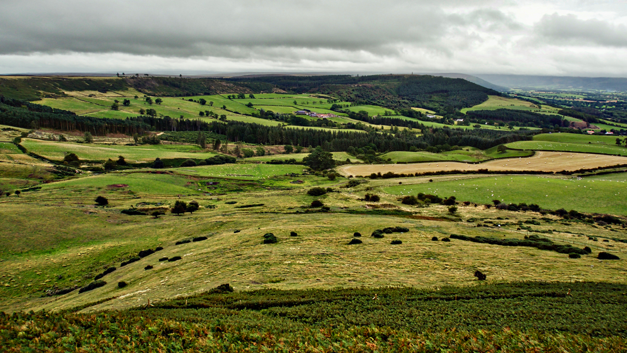
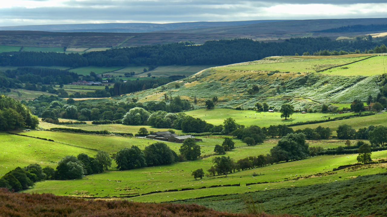
Airy Holme
A view from Roseberry Topping to Capt. Cook’s Monument across the great bowl of Airy Holme, Slacks Wood and Ayton Bank, just before a tremendous downpour. The National Trust boundary of Roseberry is the fence line in the foreground just before the bracken limit. Aireyholme Lane can just be made out crossing left to right.…
-
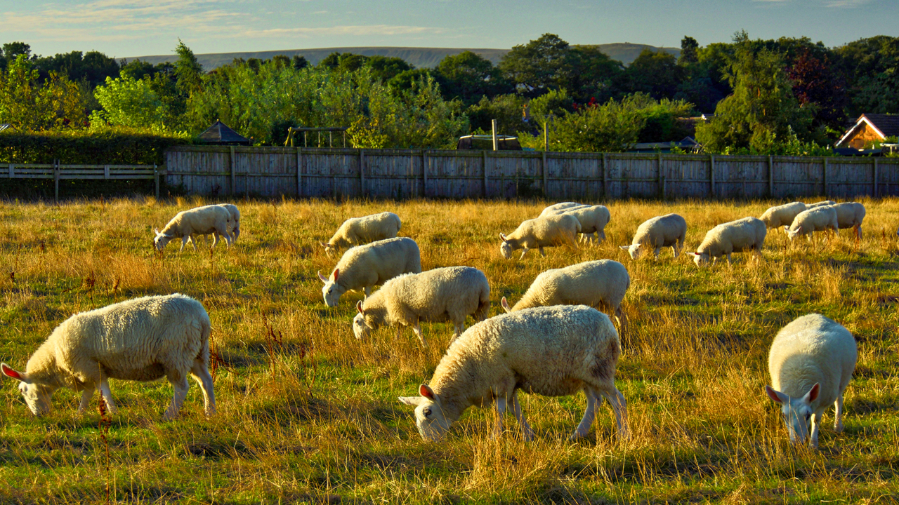
Why do sheep always face the same way?
It was almost a failure to post today. I have been at the National Trust property of Thompson’s Rigg near Dalby building leaky dams and sheep gates across Crosscliffe Beck. Sheep gates to prevent sheep from passing under the new fence where it crosses the beck and leaky dams to slow down the water flow…
-
Birk Dale
The upper end of Borrowby Dale which drains into the North Sea at Staithes. On old maps, it is Birk Dale, on modern Birch Dale. I prefer to use the old name. The high point on the coast in the distance is Beacon Hill between Staithes and Port Mulgrave. Hinderwell is the village on the…
-
Lonsdale
There is a wonderful phrase in Hebridean Gaelic, rionnach maoimi, meaning literally a mackerel panic but used to refer to the shadows cast on a hillside by clouds moving across the sky on a windy day. I am sure there must be a kindred word for a shaft of sunlight falling on the ground through…
-
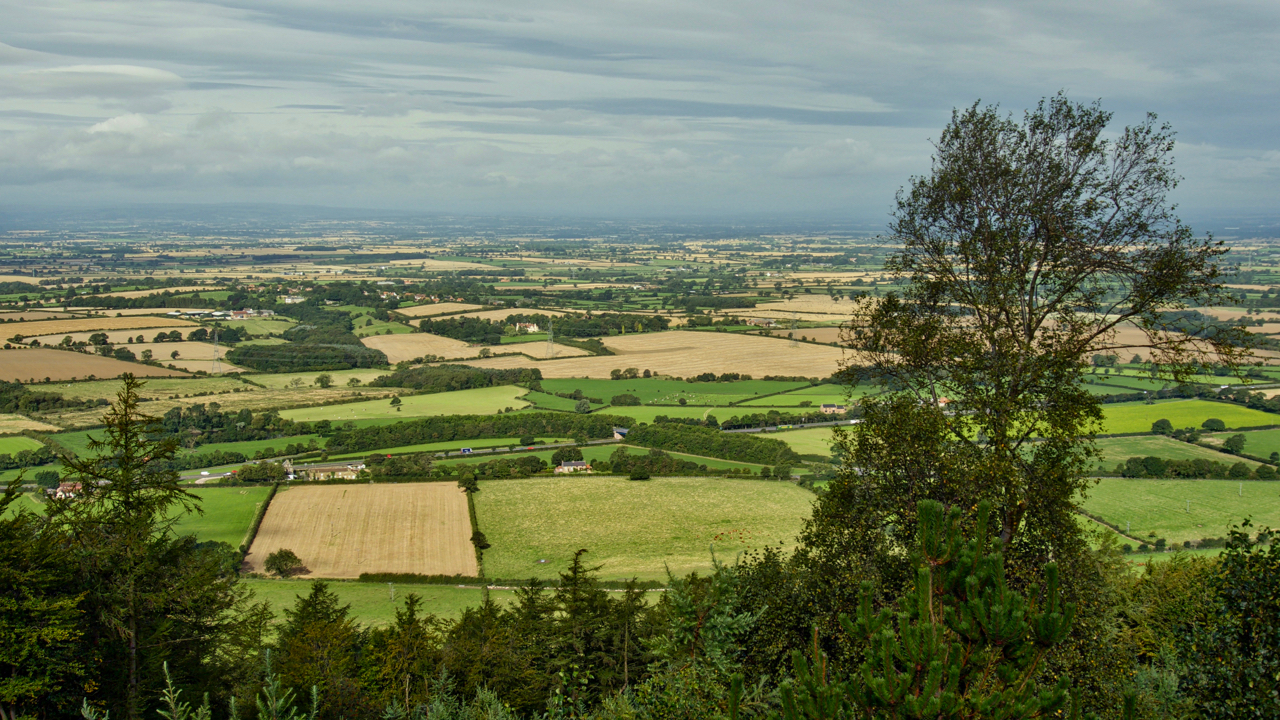
The Cleveland Tontine
A view from Swinestye Hill across the Vale of Mowbray. The Cleveland Tontine Inn, bottom left at the junction of the A19 and A172 is officially the northeasternmost point of the vale which boundary heads arbitrarily in a northeasterly direction to Scotch Corner. To the south is the Vale of Mowbray, to the north the…
-
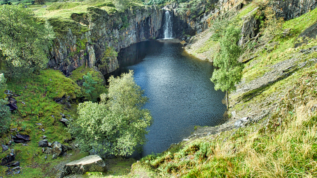
Banishead Quarry
A consequence of man’s thirst for slate flagstones. The site comprises two large quarries, Eddy Scale and Banishead, dug on either side of Torver Beck which was left flowing down a ridge between the two. Eventually, a section collapsed creating a waterfall into Banishead. With no apparent drain, the water level quickly rose creating a…
-
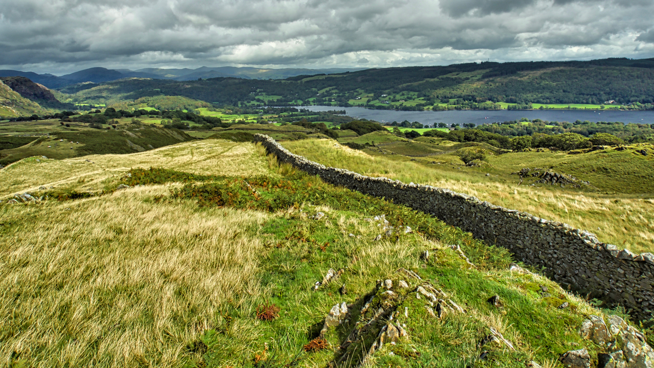
Coniston Water
A view of the north end of Coniston Water from an unfamiliar angle. The righthand most house on the far side of the lake is Brantwood, where the poet John Ruskin lived. Travelling north (right to left) we come to big houses now used as outdoor education centres, Thurlston and Low Bank Ground, good memories…
-
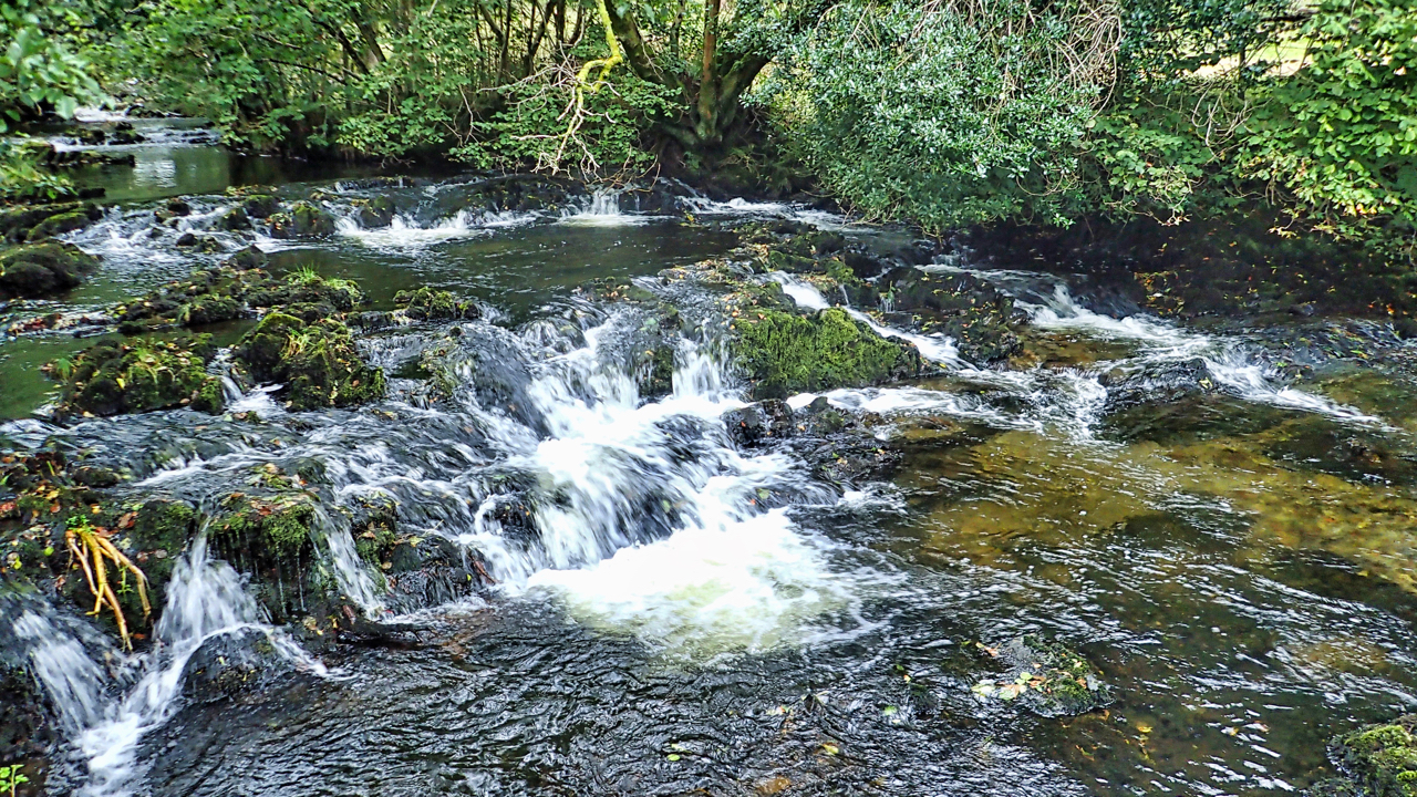
Torver Beck
Wet and wild in the Lakes so kept low. Torver Commons on the western side of Coniston water was one of my first Lakeland orienteering events. I remember getting hopelessly lost. The bracken meant I kept to the paths today. This is Torver Beck which drains a vast swathe of the Furness Fells, including the…