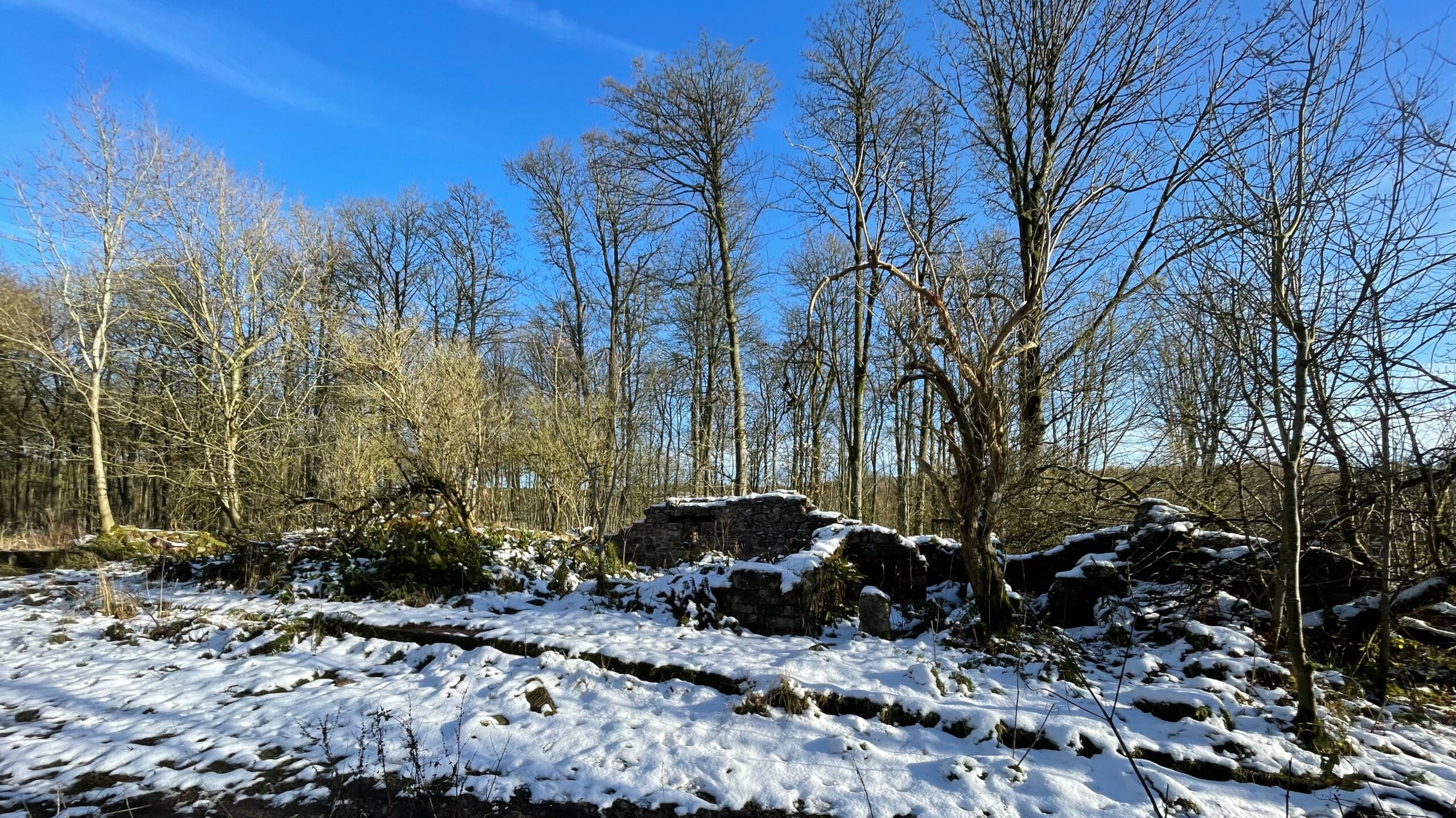
The ruined farms hidden beneath the forestry east of Cod Beck Reservoir sit like half-forgotten whispers of a tougher age. Among them, Cote Garth stands out, its broken walls sharp against the last scraps of the recent snowfall, as though the land itself is determined to remind us that someone once fought wind, rain and isolation to make a living here. When the reservoir works began in the late 1940s, the farm was probably in its final months, yet in 1903 it had been very much alive under the steady hand of Mr J. Weighall, a man trusted enough to judge cattle, sheep and pigs at the Bilsdale Show1NYMNP HER No: 13559. COTE GARTH 2Ripon Observer – 27 August 1903. AGRICULTURAL SHOW. https://www.britishnewspaperarchive.co.uk/viewer/bl/0003092/19030827/085/0005.
The story deepens in the war years. Cote Garth appears in the records as both billet and bombing decoy, its lonely position near the Starfish command bunker on Pamperdale Moor placing it squarely in the theatre of night-time deception3NYMNP HER No: 1364. WWII bombing decoy control shelter on Pamperdale Moor . It is easy to picture RAF personnel whiling away the daylight hours within these thick stone walls, until the time when the moors will be lit with false fires meant to lure the Luftwaffe bombers away from their targets.
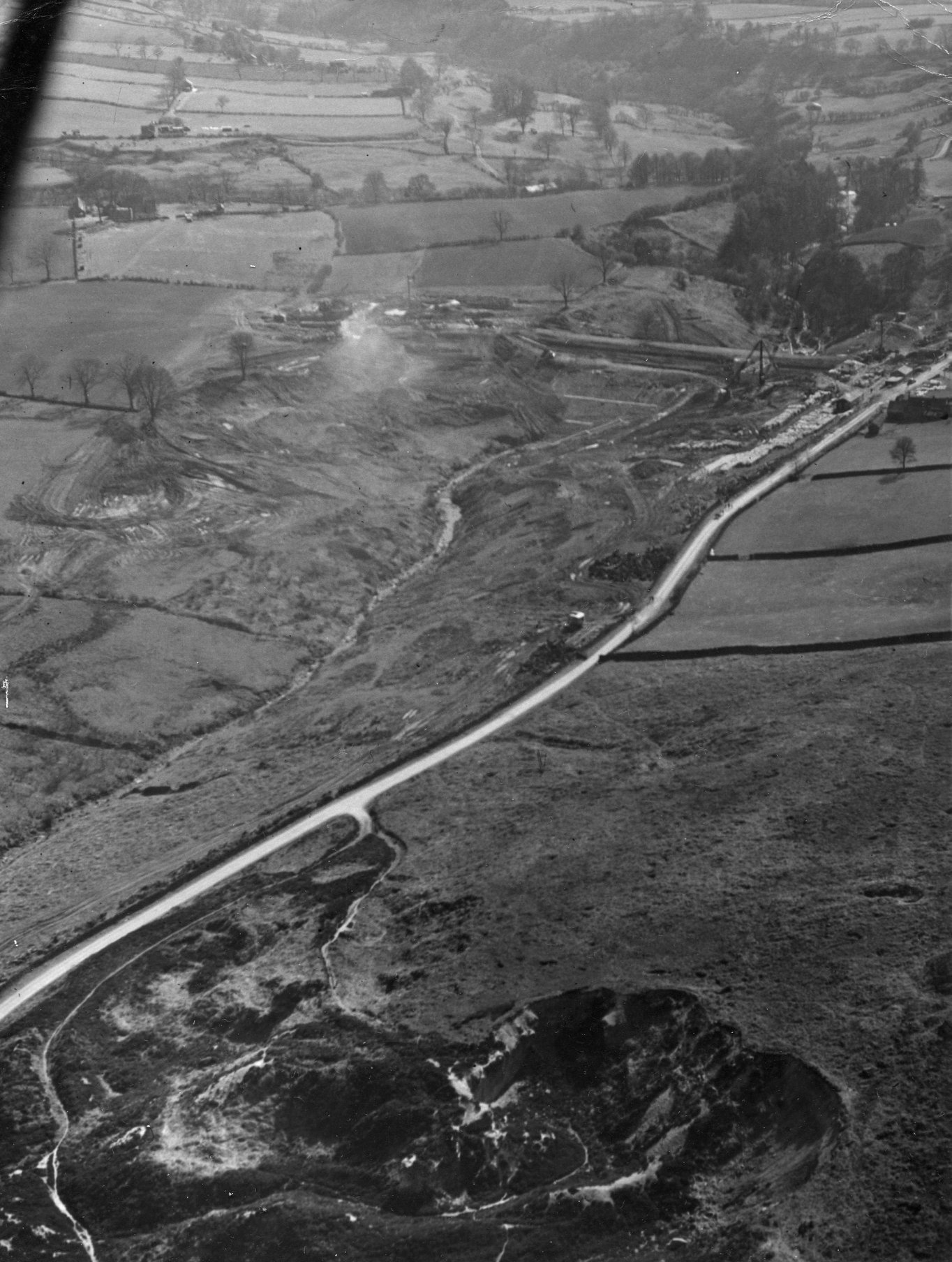
There is an aerial photograph from the reservoir’s construction period. Cote Garth is, in all likelihood, tucked into the upper left corner. Should sharper eyes wish to prove that notion wrong, the old maps stand ready, inviting anyone with patience to trace the ghost of a farm that once refused to be forgotten.
- 1NYMNP HER No: 13559. COTE GARTH
- 2Ripon Observer – 27 August 1903. AGRICULTURAL SHOW. https://www.britishnewspaperarchive.co.uk/viewer/bl/0003092/19030827/085/0005
- 3NYMNP HER No: 1364. WWII bombing decoy control shelter on Pamperdale Moor
Leave a Reply