-
Roseberry’s Forgotten Quarry
It might sound unbelievable, but, back in the day, sandstone used to be quarried right at the very top of Roseberry. A small quarry nestled just below the summit was the most recent scene for this extraction. On the climb up the back of Roseberry, from the summerhouse, and you’ll start to climb a gentler…
-

In Search of Magical Gate Posts
Upon the high moors near Young Ralph Cross at Rosedale Head, a commemorative stone stands in honour of Frank Elgee, a notable naturalist and archaeologist, who once curated the Dorman Memorial Museum in Middlesbrough. His wife and “assistant,” Harriet Elgee, was a knowledgeable writer and poet in her own right. I recently came across a…
-

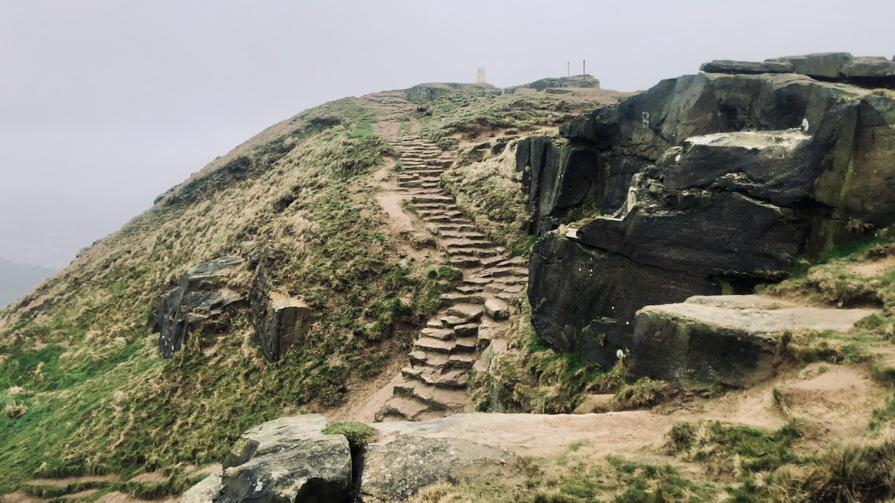
On yet another foul day …
… so I didn’t venture far; instead, just bagging Roseberry Topping and picking up Cliff Rigg on the way back. Cliff Rigg has a quarry that has been the subject of my posts on several occasions. This ridge is part of the Cleveland Dyke, a tough volcanic rock that forcefully juts through the much older…
-

Highcliff Gate — From Glacial Spillway to Forgotten Farm Track
The recent felling of Guisborough Forest has completely changed the landscape, evident even on this dreary spring day. Down in the valleys, vernal signs are everywhere: hawthorn buds are emerging, and the woods are alive with birdsong, and some birds are even gathering nest stuff. But up here on Potter’s Ridge, winter’s still holding its…
-
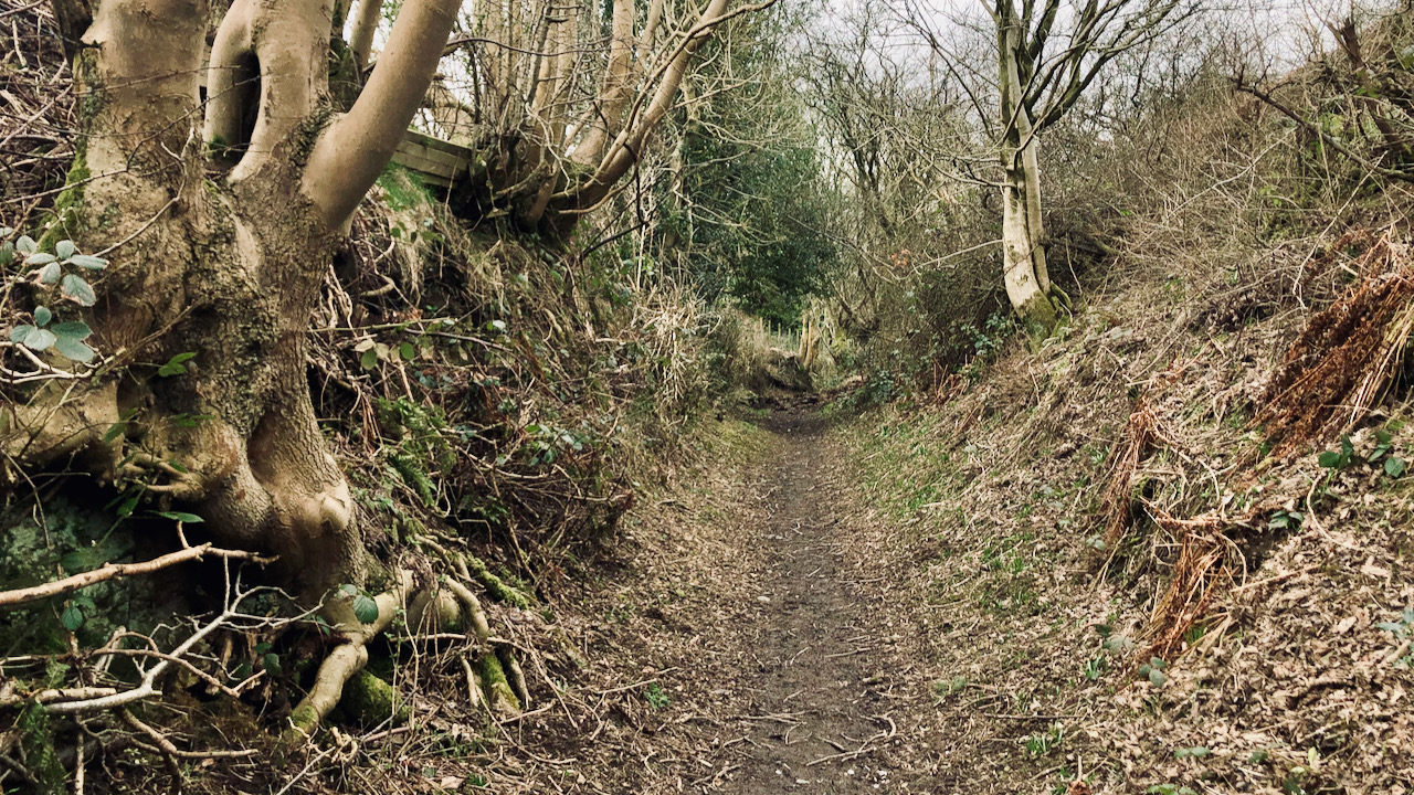
Cold Moor Lane — Hollow Way and Medieval Trod
Taking a respite from the biting easterly breeze while in the shelter of Cold Moor Lane, a sunken bridleway climbing out of Chop Gate, a debate unfolded about its origins. Well, if we concede that its sunken characteristic stems from centuries of human and animal movement along this route, then I suppose one could argue…
-

Dovedale Griff
On the weather front, a rather dreary day unfolded with the National Trust at Bridestones. Nevertheless, a new view for me as I stood atop one of the High Bridestones, gazing down upon the narrow upper stretch of Dove Dale, also known as Dovedale Griff. Beneath me, the valley slopes will, in a few months,…
-

Gin Garth — A Smugglers’ Retreat
In the 17th through to the 19th centuries, Yorkshire’s coast was notorious for smuggling, and today, places like Saltburn, Staithes, and Whitby all have their smuggling attractions and yarns. They had this intricate operation going on, and it was no secret — everyone knew about the ‘coopering’ business in the North Sea. Dutch ships, sailing…
-

Ashmore, Benson, Pease and Co.’s tank at Rounton Grange
Rounton Grange, the ancestral home of the Bells, is now a bit of a no-show, given that the house was demolished back in 1965. The site’s now reverted to woodland. But a few buildings in the grounds are still hanging on. Like this one with an unmistakable cast iron tank proudly sporting the name of…
-

Beyond the Mist — The Battle of Stokesley
This morning, the air on Great Ayton Moor was crystal clear, but away in the south-west, a low mist crept up the Vale of Cleveland, making the wind turbines at Seamer look like they’re levitating. That white house yonder caught my eye. Turns out, it’s Howe Hill. Now, I can therefore take a brief detour…
-
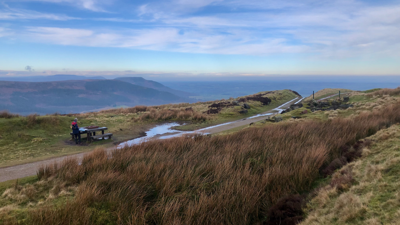
Siberia on the Moors — A Lost Railway Community
For nigh on seventy years, this exposed stretch on Greenhow Moor, with its splendid panorama of the Cleveland Plain and beyond, served as home for a community of railway workers and their families. Sited at the top of the Ingleby Incline, a cluster of building once stood here, in a location so remote and exposed…
Care to comment?