Category: North York Moors
-
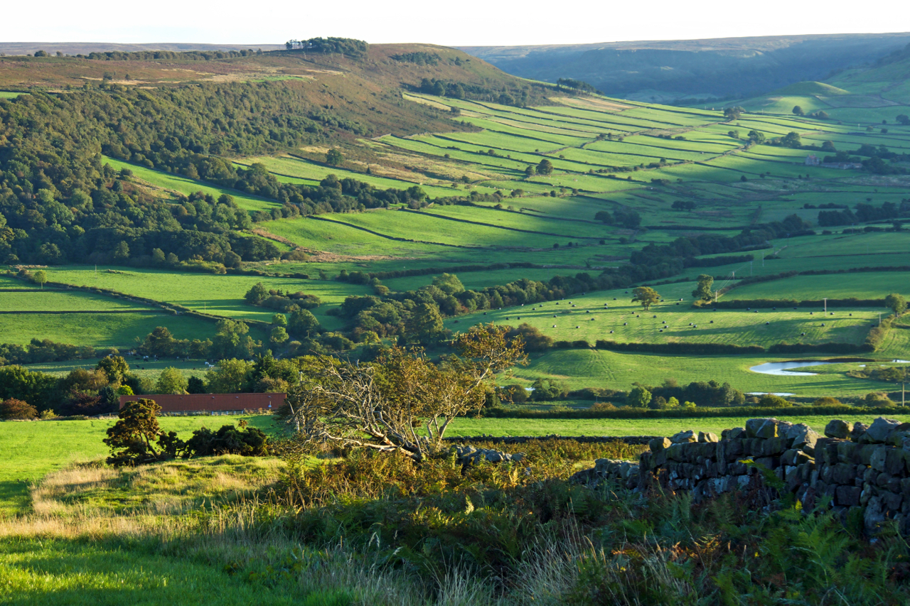
Little Fryup Dale
A glorious evening. The west side of Little Fryup Dale basks in the last rays of the setting sun. The name Fryup derives from the Anglo-Saxon pagan goddess Frige and hop meaning a small valley (link). So Little Fryup Dale means the little dale of the small valley of Frige. This double descriptive name is…
-
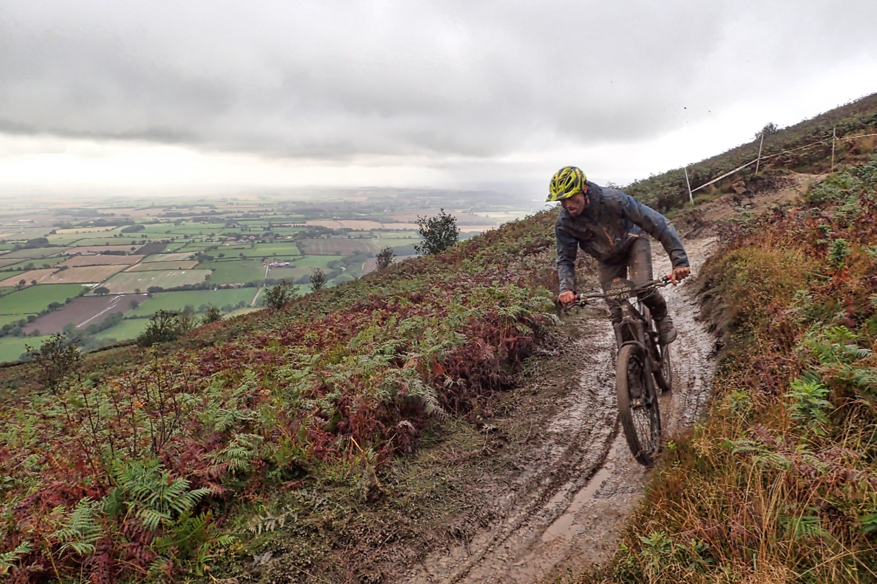
A fast descent of Cringley End
Headed up to Lord Stones Country Park to take a look at a mountain bike race being held up there. The race comprised five timed downhill sections separated by untimed uphill routes, climbed at leisure. About 35km total distance. One of the downhill sections descended Cringley End, an old name for the ‘nose’ of Cringle…
-
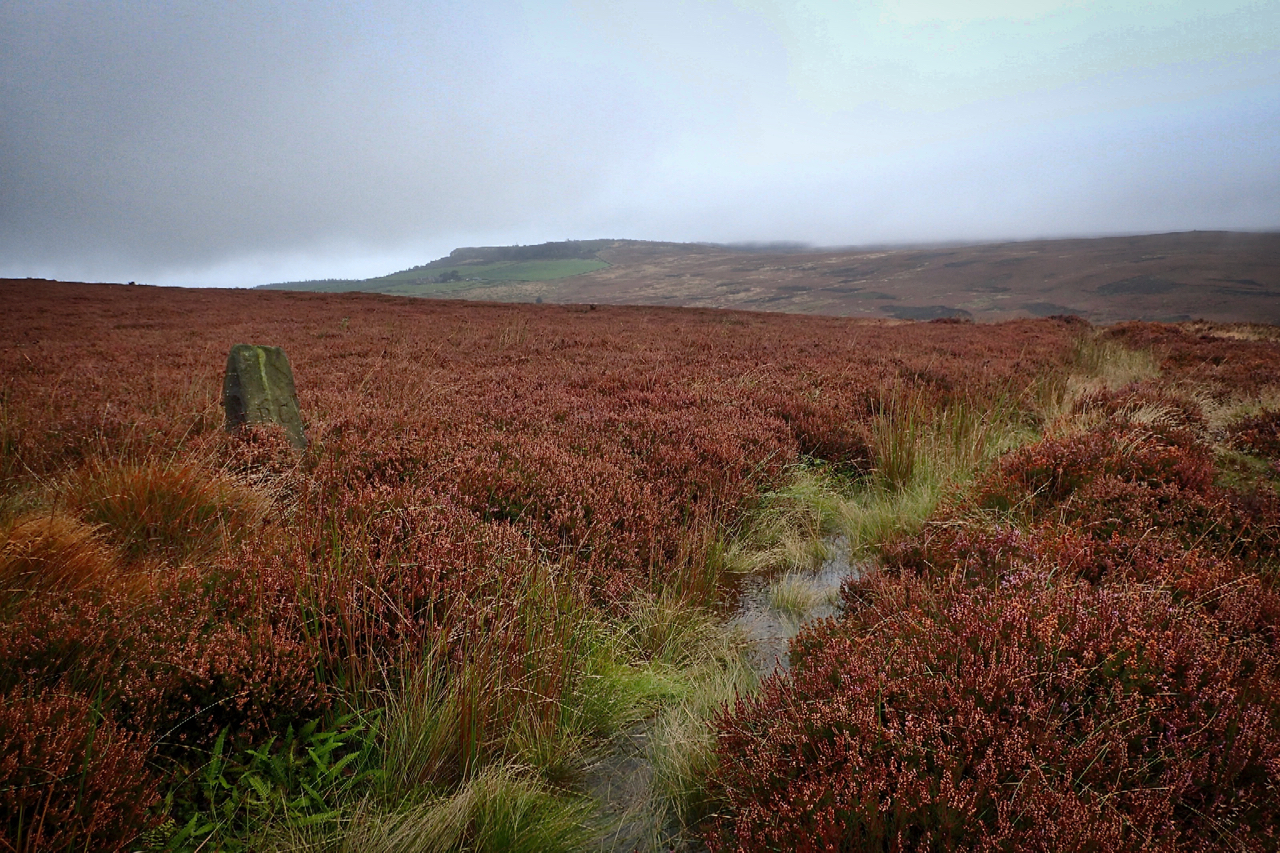
Eskdale’s stolen water
The sandstone boundary stone on the left is inscribed “RC” the initials of Robert Chaloner, the 19th-century landowner and lord of the manor of Guisborough, but it is the waterlogged ditch in front which took my interest today. Mapped as “The Race” it is a leat semi-circumventing Hutton Moor, capturing the water runoff from draining…
-
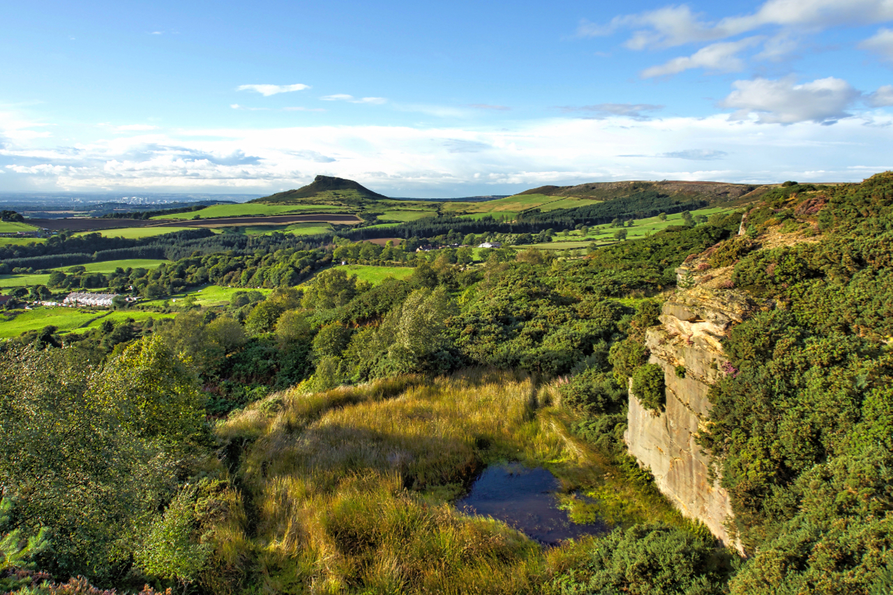
Cockshaw Quarry
A glorious evening, very autumnal although Autumn is still a week or so away. Cockshaw is a very abused part of the escarpment between Captain Cook’s Monument and Roseberry Topping. The sandstone cap was intensively quarried. Lower down the remains of a clamp, leaching pits and cisterns for the alum industry can be traced, except…
-
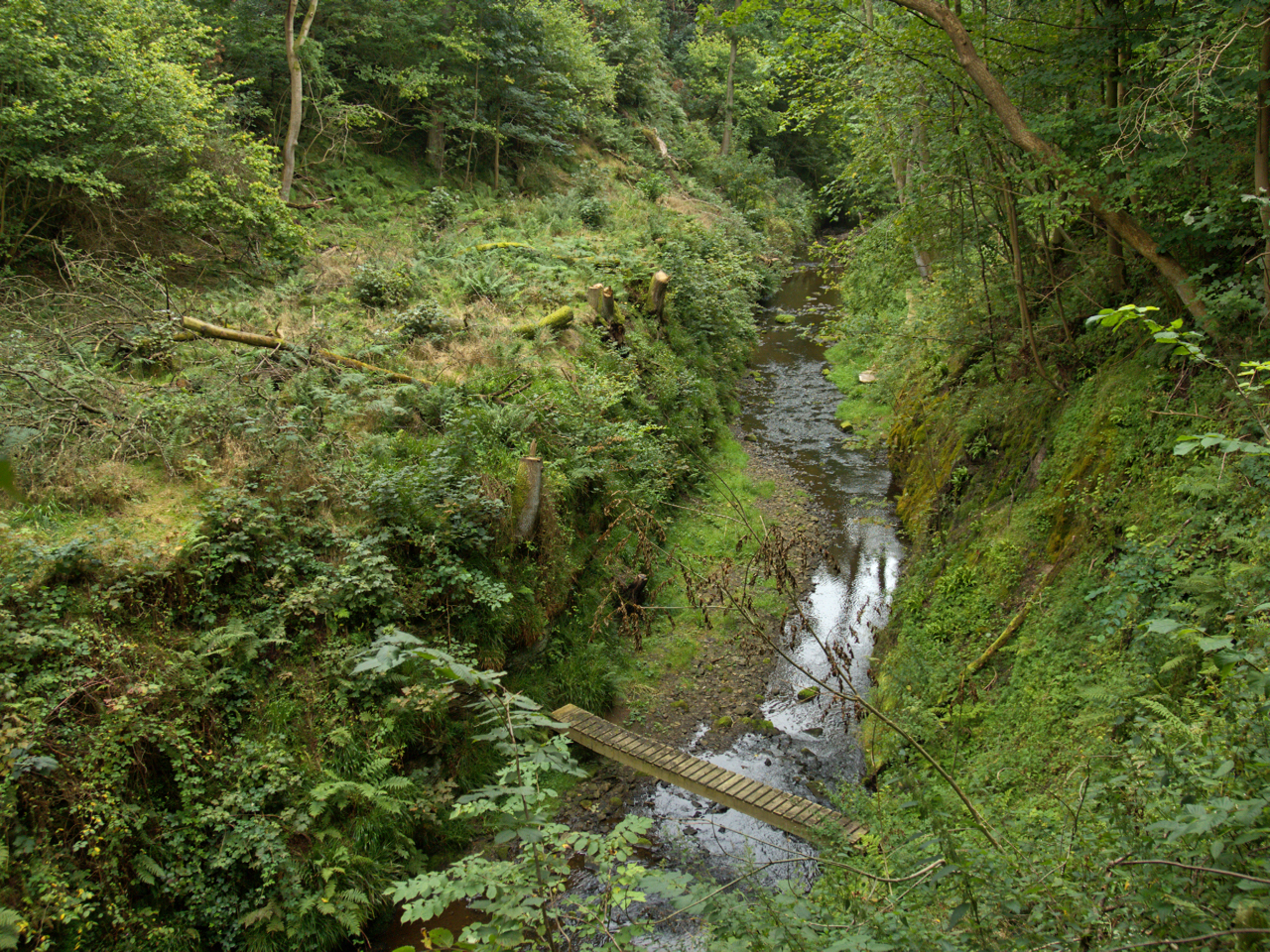
Leven Gorge
Upstream from Great Ayton and Easby the River Leven is confined by a narrow gorge as it flows through Mill Bank Wood. A few hundred metres downstream from here, where the gorge widens a little, is the site of a bleach and fulling mill that can be dated back to the 14th century. In the…
-
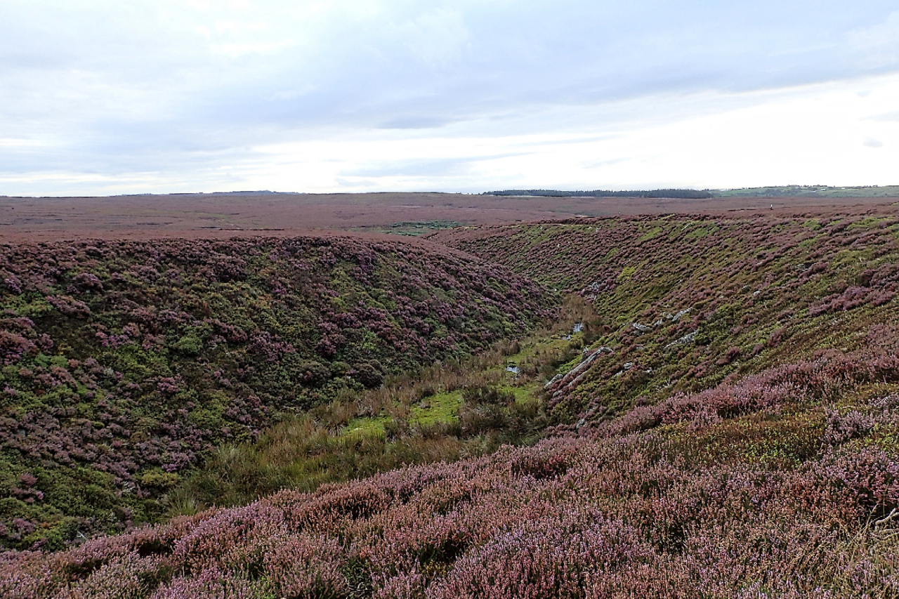
Holy Well Gill
It must have needed a torrent of water to have carved this gill on Pamperdale Moor near Osmotherley. Certainly not water from the spring mapped as Holy Well and situated way down the gill not far to its junction with Crabdale Beck. The “spring” in the photo, higher up, doesn’t even qualify with an Ordnance…
-
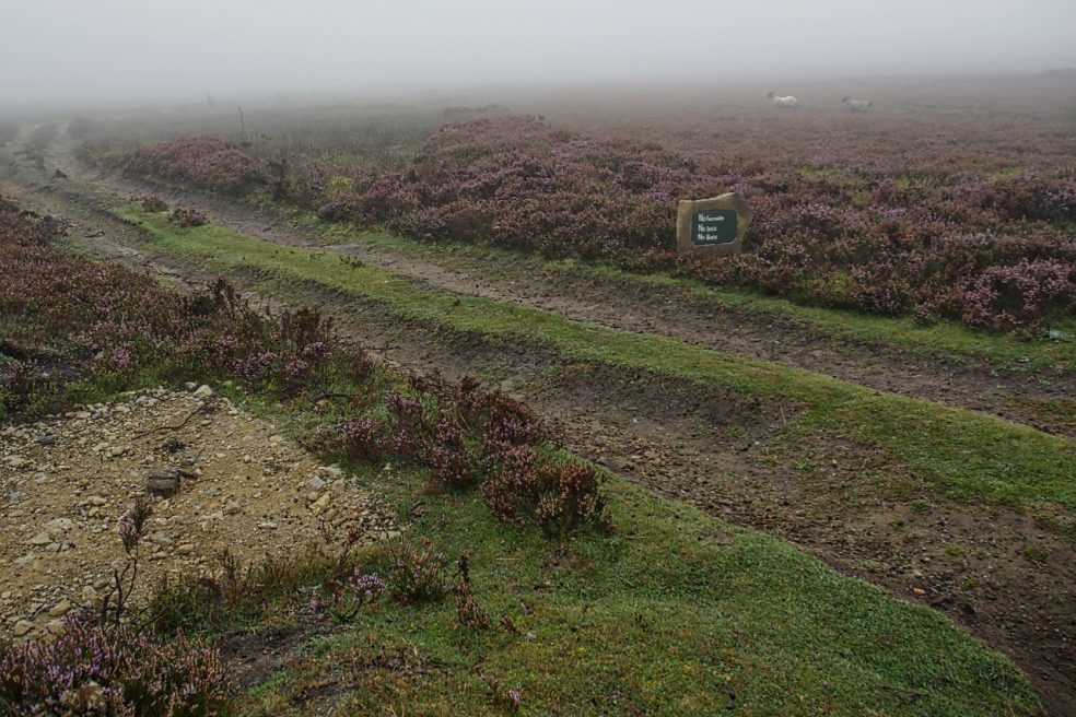
Kempswithen
With low cloud shrouding the North York Moors I had to dig into my bank of “bad weather” ideas. Earlier this year I recalled seeing a large new sandstone “PRIVATE NO ACCESS” sign which I thought a bit over the top. So I headed for Kempswithen, the site of a 18th-century agricultural experiment but now…
-
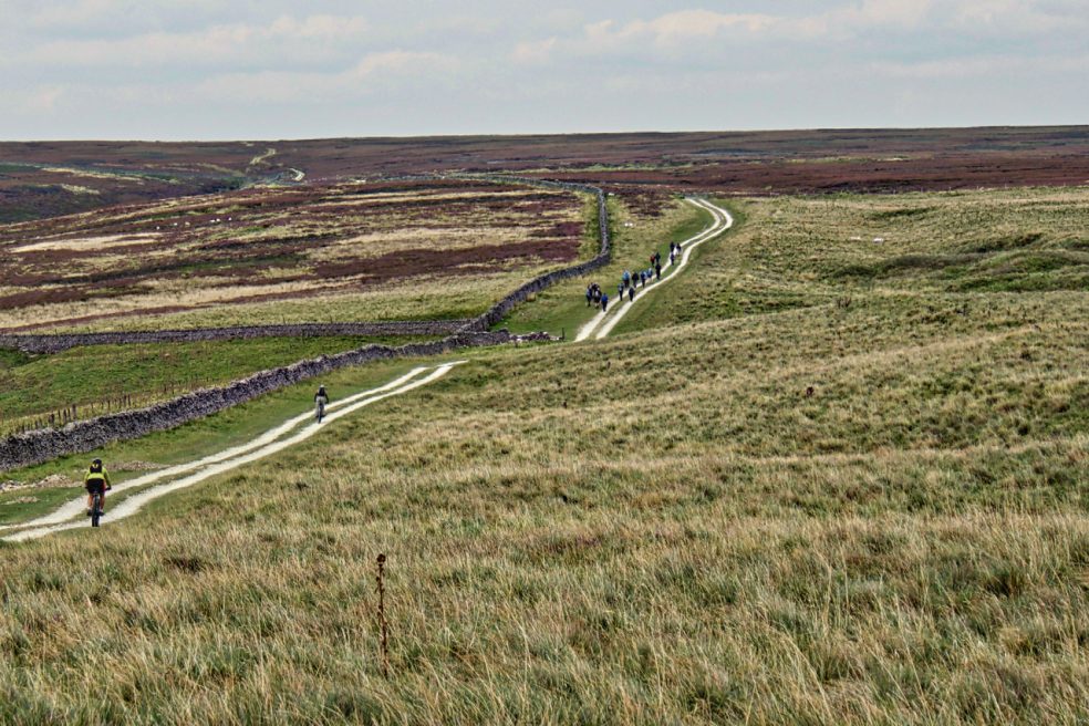
Hambleton Street
The ancient drovers’ route along the western edge of the North York Moors. A route that probably has been used since prehistory. The name “street” implies Roman usage and it’s mentioned by name in a document of 1577. Traffic peaked in the 17th and 18th centuries when herds of cattle were driven from Scotland to…
-
Parci Gill
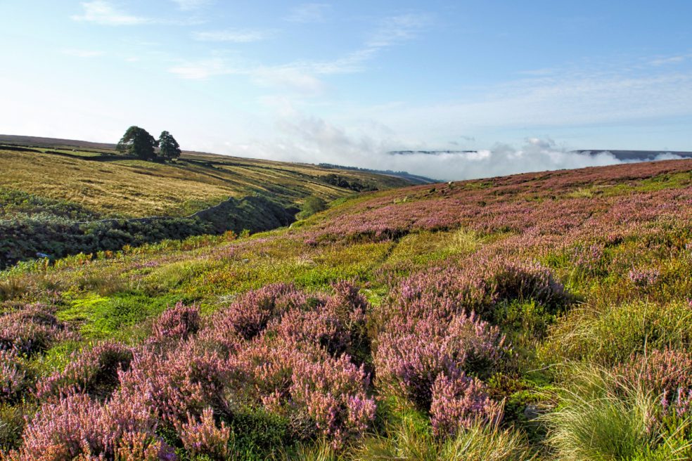
Parci Gill is a tributary of the River Rye nestling between Cow Ridge and Sour Milk Hills on the moors to the west of Bilsdale. The name, Parci, sometimes written Parsi, is unusual and its etymology is difficult to explain. It has been suggested that it may predate the more usual Old Norse and Anglo-Saxon roots.…
-
Spring trap across Sleddale Beck
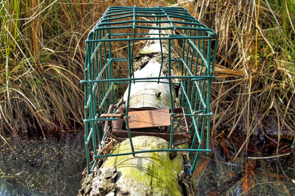
Not a pretty picture. Just an example of the type of traps used to ensure the heather moors are eradicated of small mammalian predators, such as stoats and weasels, which may feed on the young grouse chicks. Complete eradication of all “vermin” is the aim. This is in spite of the moors being designated a…