Category: North York Moors
-
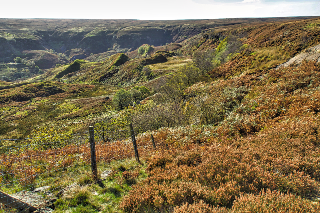
An undercliff, Great Fryup Dale
I posted a photo of Great Fryup Dale last year when I wrote about my fascination for an area at the head of the valley called The Hills. A chaotic jumble of knolls, ridges and depressions. The same question returned. What caused this landscape? Quarrying? Alum extraction? Canon J.C. Atkinson, the vicar of Danby, also…
-
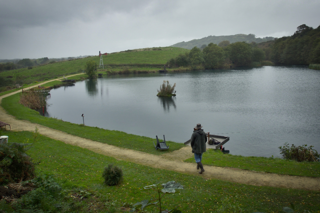
Larners Lake
This artificial fishing lake seemed to have appeared overnight but realistically it would have been sometime in the 80s when I was not resident in Great Ayton. It takes its name from Larners Hill, a ridge with a bridleway eventually leading up to Easby Moor and Captain Cook’s Monument. For many years I regularly used…
-
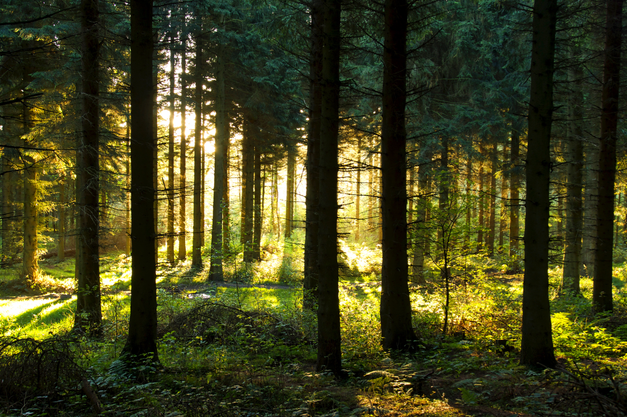
Lonsdale Slack
Friluftsliv, a Norwegian philosophy embracing spending time connecting with nature, literally translates as “free air life”. Just being outdoors in the forests and mountains. Even the dense uninspiring commercial forestry plantation on Coate Moor can seem magical given the right lighting. Like this morning, a few minutes after sunrise. Open Space Web-Map builder Code
-
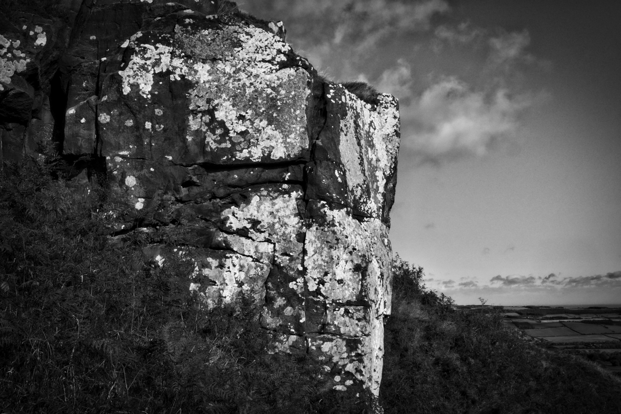
Roseberry’s eastern crag
Rendered in black and white this photo contrasts the lichen-covered rocks of Roseberry’s eastern crag. Lichens are everywhere yet are often overlooked. They thrive in a variety of environments, are long-lived with a very slow growth rate but are sensitive to moisture, pH, minerals and air quality. They are actually two organisms, a fungus and…
-
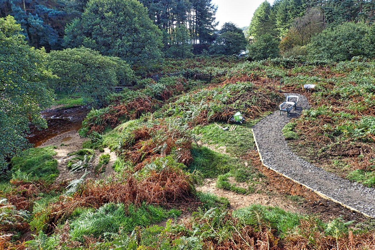
Cod Beck
Construction work by the National Trust at Cod Beck. The aim is to create a circular wheelchair accessible path around the reservoir. Yorkshire Water has upgraded the existing paths and gates and plan to install a new bridge just beyond the far side of the tree left of centre. Rangers and volunteers of the National…
-
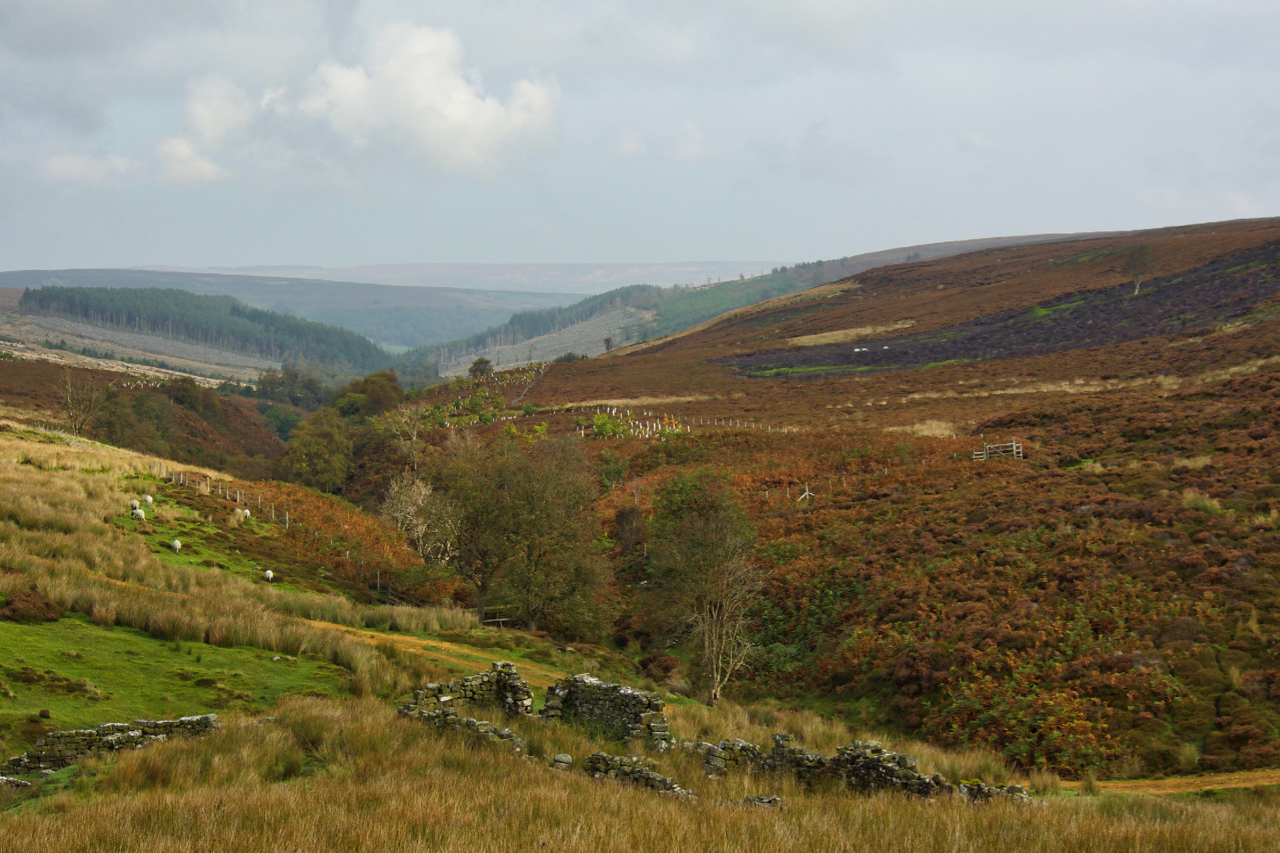
Armouth Wath
When Baysdale Abbey was sold in 1803, the sale included a “supposed very considerable” coalmine. This would have been at Armouth Wath at the head of Baysdale, one of the furthest tributaries of the River Esk, although mining activity by this time would have been on the decline having reached its peak in the 18th…
-
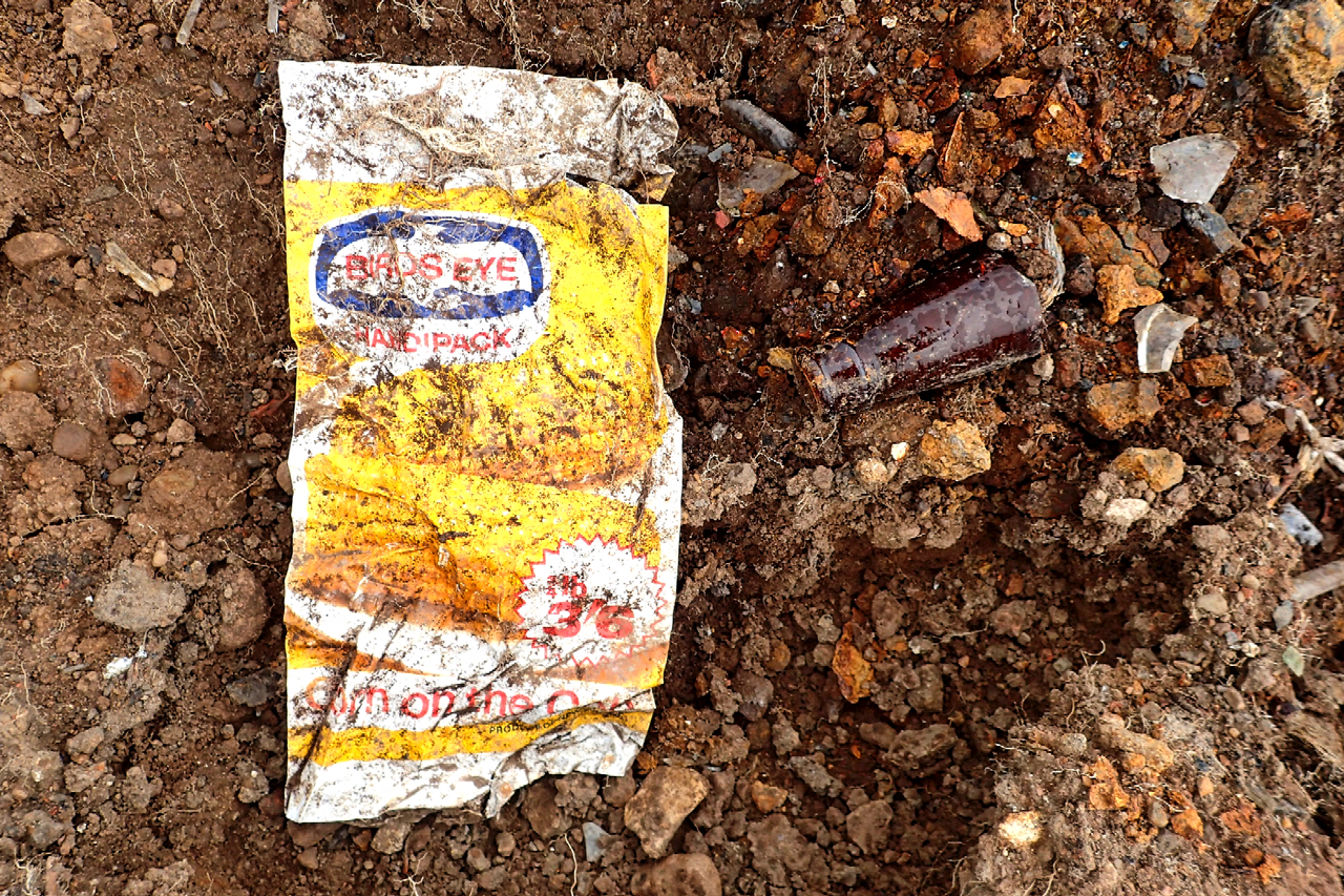
60’s Rubbish Take 2
A revisit to the 60’s rubbish tip exposed at Rye Hill in Great Ayton. This old Bird’s Eye bag for Corn on the Cob was floating about on the surface. ¾lb for 3/6. That’s 17½ pence in new money. Decimalisation took place in February 1971 so it’s at least that old. But what really hits…
-
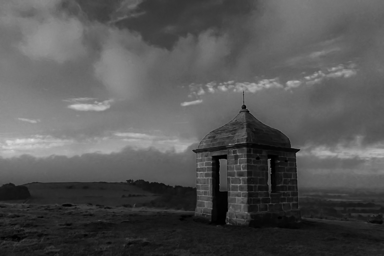
The Summerhouse
An early morning view of the Summerhouse, presided over by Roseberry since it was built over 250 years ago. It once had a white finish and plastered inside with a suspended ceiling although these had probably disappeared when it was used as a billet for local militia manning the beacon on Roseberry summit during the…
-
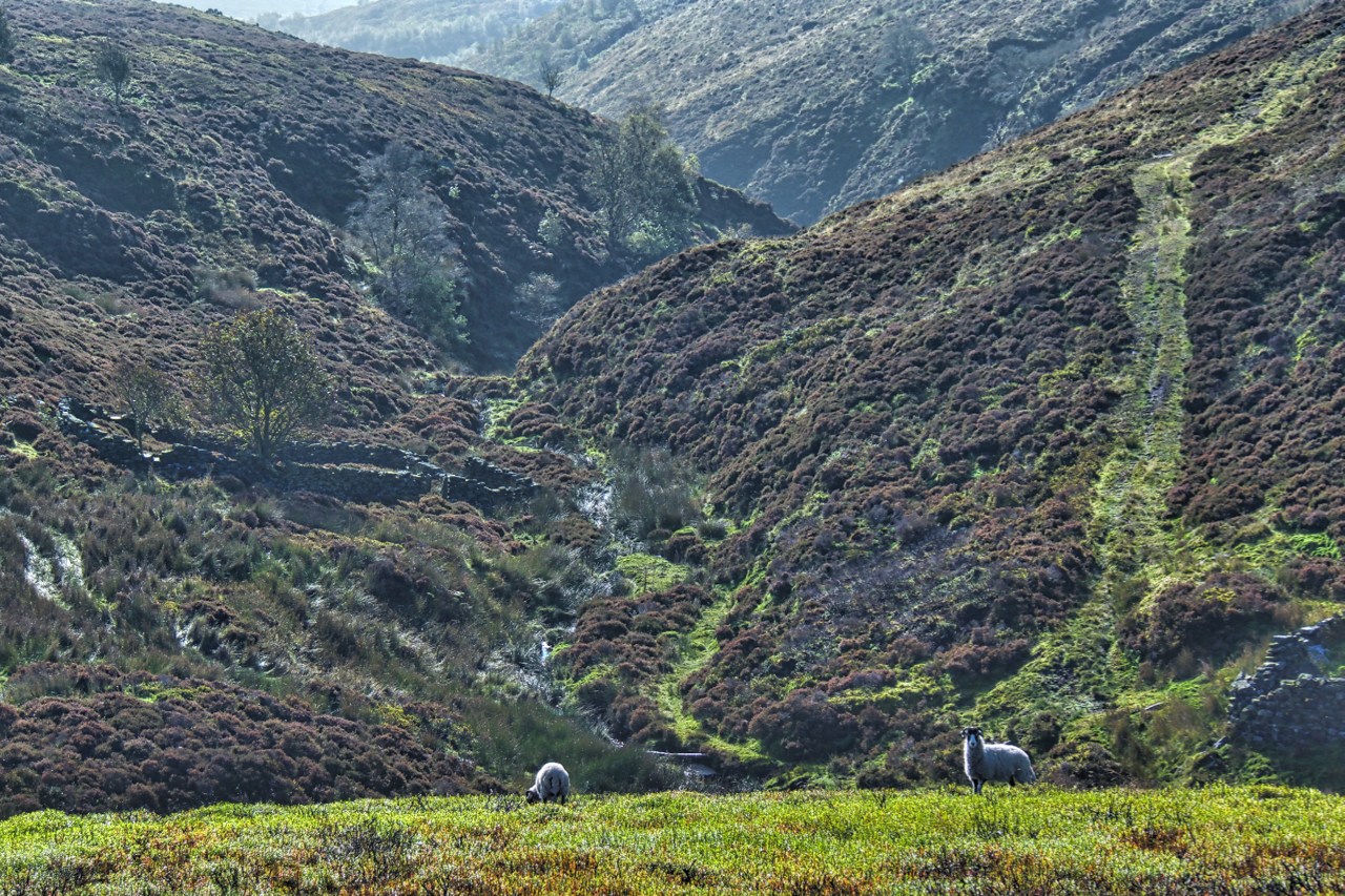
West Gill in North Dale
Reading the depressing news that a bird of prey had been shot in Rosedale earlier this week reminded me to head down that way. No precise location was given in the report so a toss of the dice saw me in West Gill, North Dale, a deep unfrequented gash in Rosedale Moor. A cracking day…
-
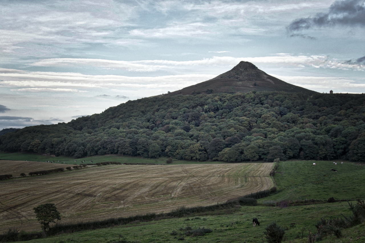
Autumn’s coming
A few days to go before the start of Autumn, and at 5 o’clock it feels like it has already arrived. Dull, muted colours with rapidly failing light. Open Space Web-Map builder Code