Category: North York Moors
-
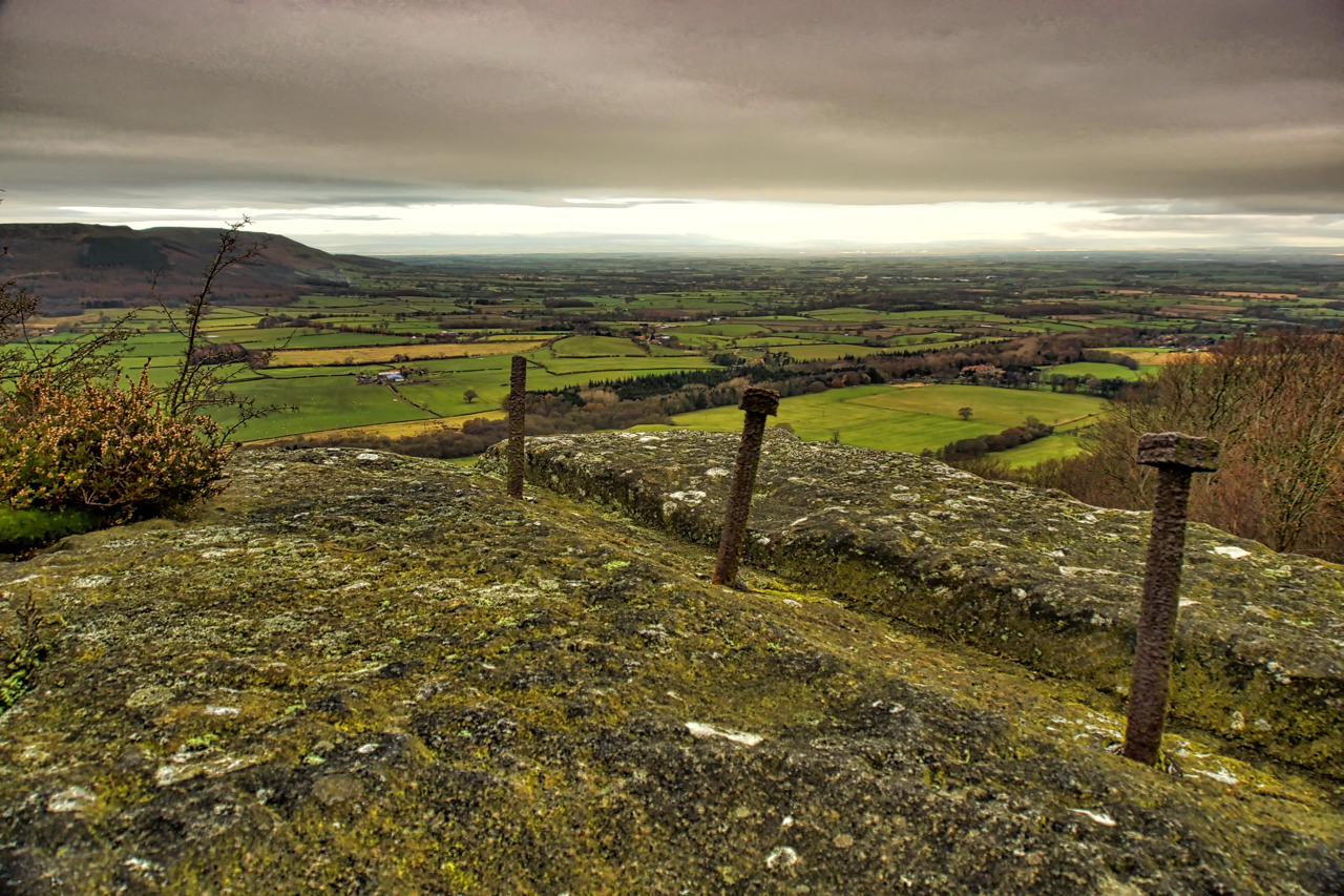
Park Plantation Quarry
First snow of the year. Nothing more than a flurry but still snow. Went searching for the site of a plane crash on Ingleby Bank. On 9 June 1941 an Armstrong Whitworth Whitley Mk. V from the No.51 Sqn. RAF. flew into the hillside in poor visibility. It was returning to RAF Dishforth from a…
-

Great Fryup Dale
After several trips of exploration around Great Fryup Dale this is becoming one of my most favourite views in the North York Moors. An example of a geological undercliff on the left, providing a complex area of knolls, re-entrants and depressions, just ripe for an orienteering map. A glorious frosty morning, followed by a Great…
-

Urra Moor
It was very peaceful on Urra Moor today, once I had cleared the sound of a shoot in upper Bilsdale. Blue sky, puddles frozen, no wind, all quiet except for the occasional ka, ke, ke, ke, ke, kekekerrr of a grouse taking flight. But then a group of motorcyclists spoilt the atmosphere. Being on a…
-

Rievaulx Abbey
The image of the life Cistercian monk is one of austerity, hard manual work and self-sufficiency, and one of the first Cistercian monasteries to be founded in the North of England was in the valley of the River Rye at Rievaulx, in 1132. Seen here from the National Trust’s Rievaulx Terrace property, it grew to…
-
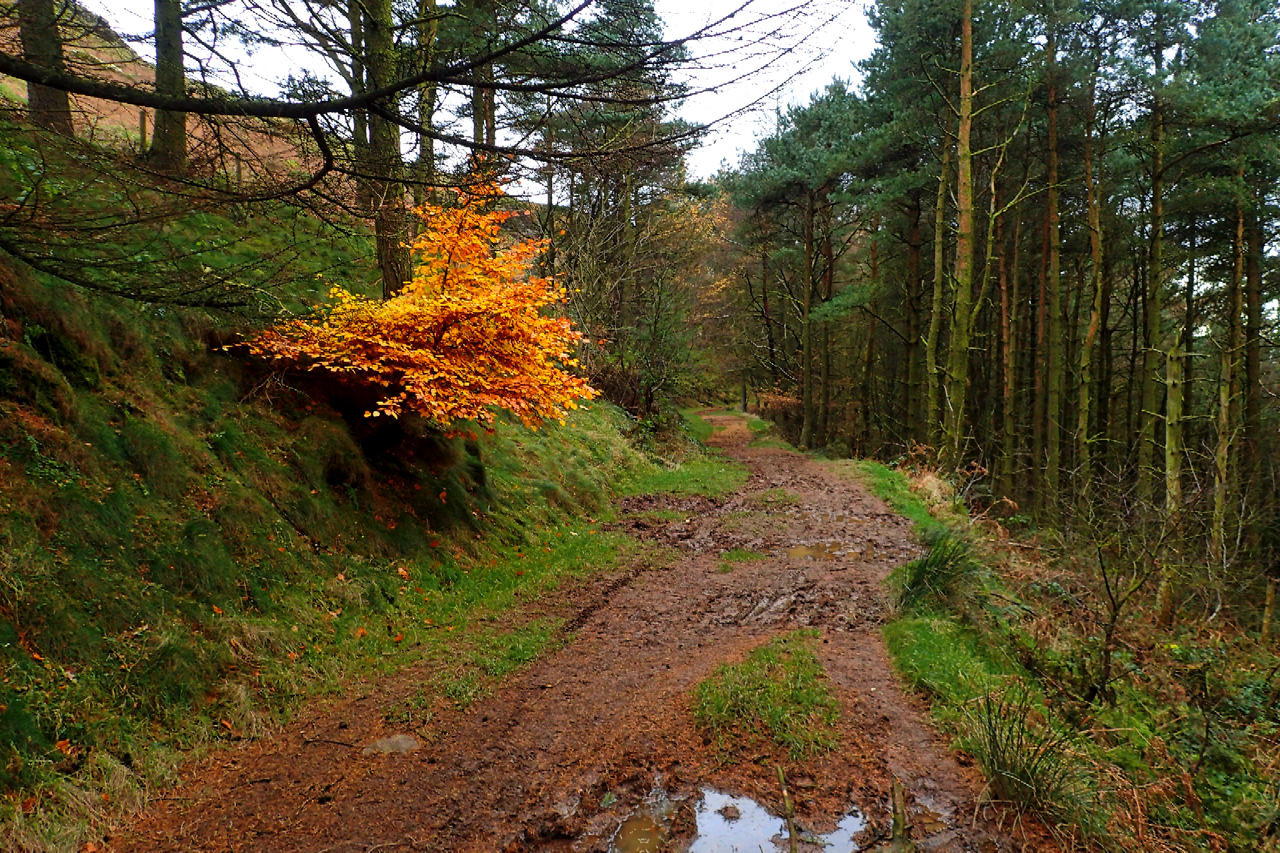
Broughton Bank
Dull muted colours with a splash of vibrancy
-

Bridestones Moor
Bridestones Moor, a National Trust property north of Dalby Forest, is a large area of unintensively managed heather moorland almost unique of the North York Moors where moors are usually either burnt too frequently for the benefit of grouse production or are overgrazed. The result is a moor with a terrific diversity of flora and…
-
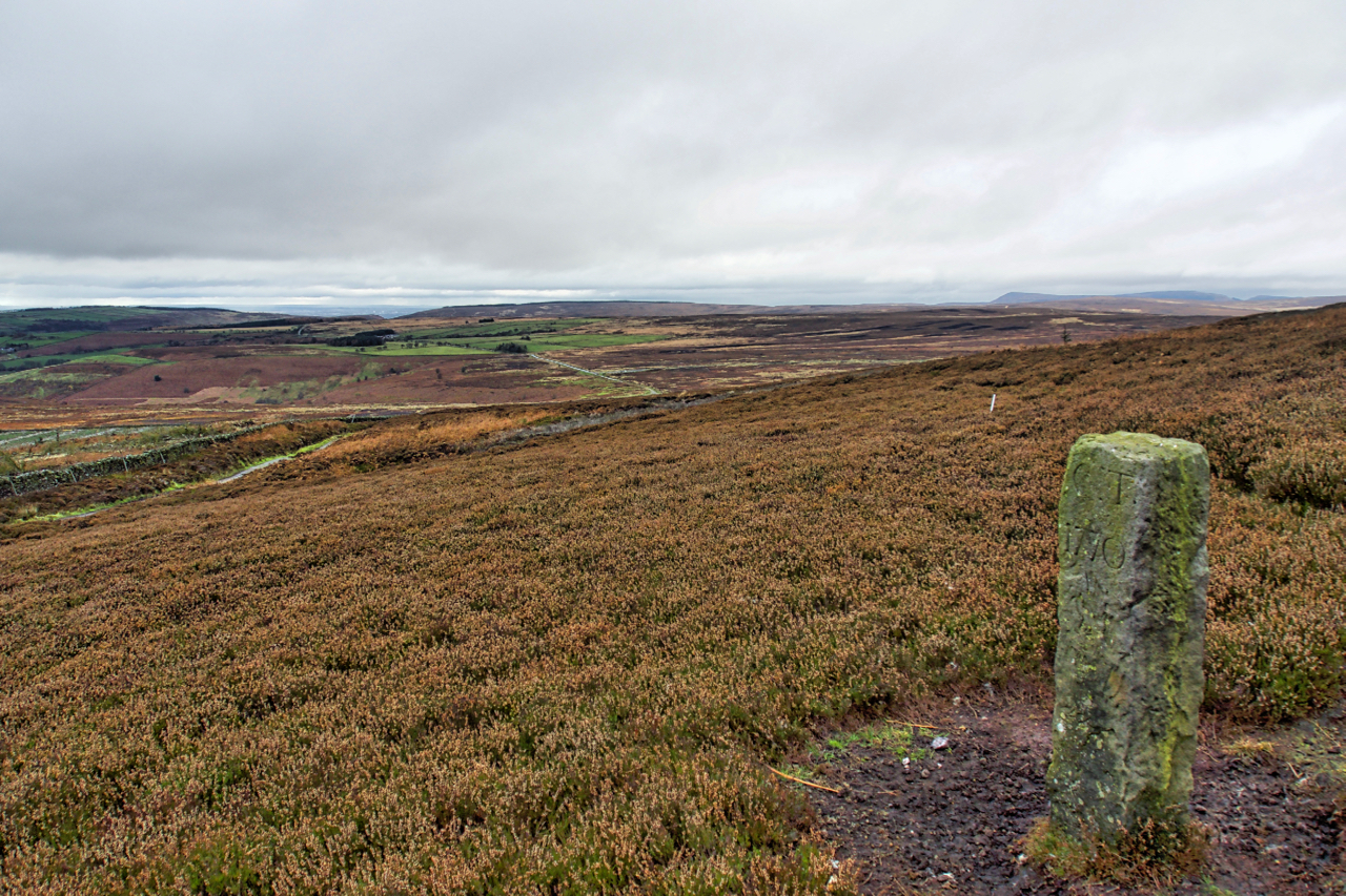
Boundary Stone, Hambleton End
Boundary Stone on Black Hambleton in the Tabular Hills.
-
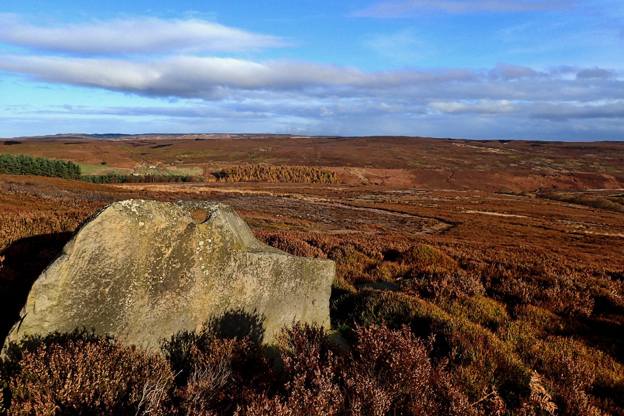
Lamb Stone, Great Hograh Moor
The Skinner Howe Cross Road was the old packhorse route to the Cistercian nunnery in Baysdale. Just after it crosses Great Hograh Beck there is a large boulder named on the Ordnance Survey map as the Lamb Stone. It’s a large sandstone boulder that shows signs of man’s hand at work. A square edge looks…
-
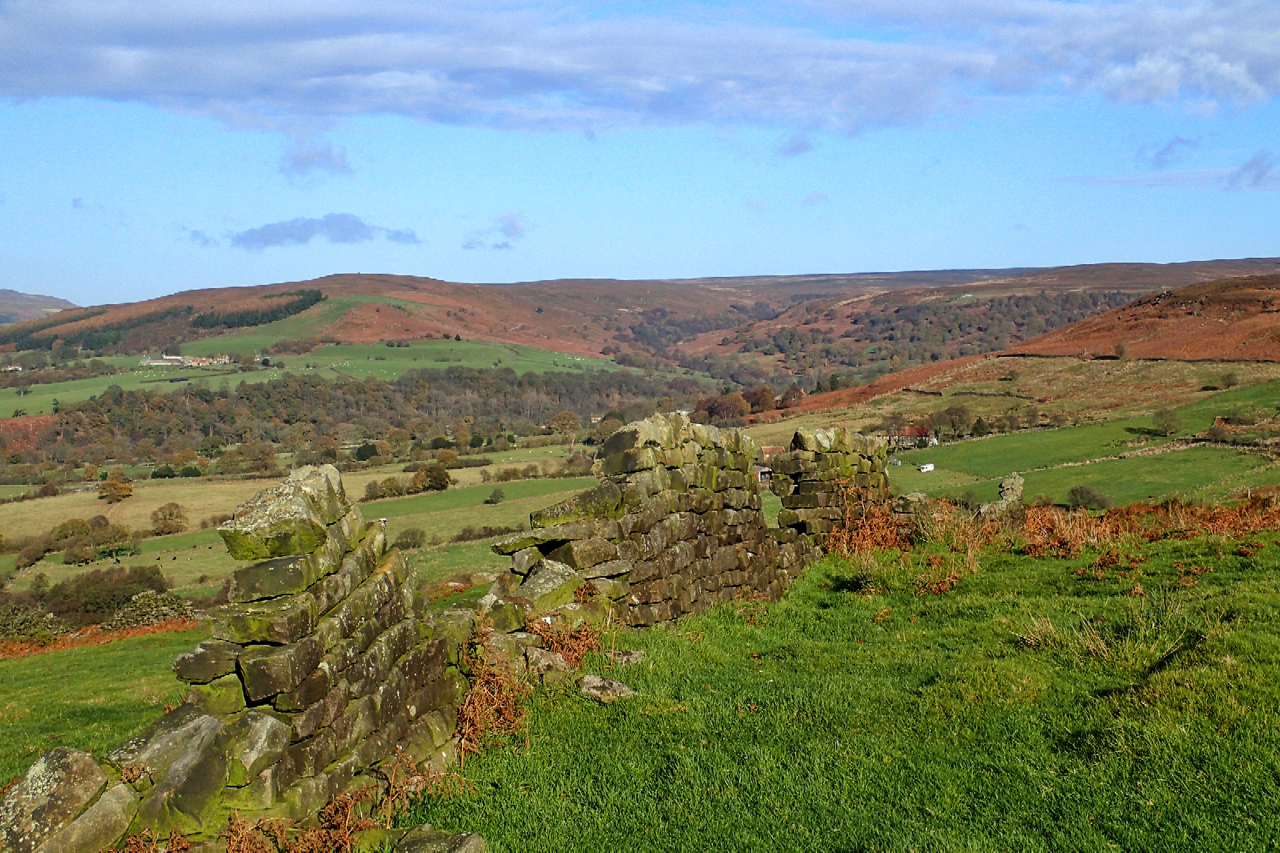
Tripsdale
Another fine morning but a day of indecision. Driving up Clay Bank and into Bilsdale I had no idea where I was heading. Chop Gate I suppose but the car park was ignored and in the end, I parked at Fangdale Beck and headed east up onto Coniser Howl, a huge large expanse of heather…
-

Blakey Topping, viewed from the south-east
Viewed from Thompson’s Rigg, Blakey Topping looks almost conical. From the south-west, it’s a humpback hill. Supposedly built by the giant Wade after an argument with his wife. In a fit of temper, he scooped up a handful of earth, thereby creating the Hole of Horcum, and threw it at her but missed. Blakey Topping…