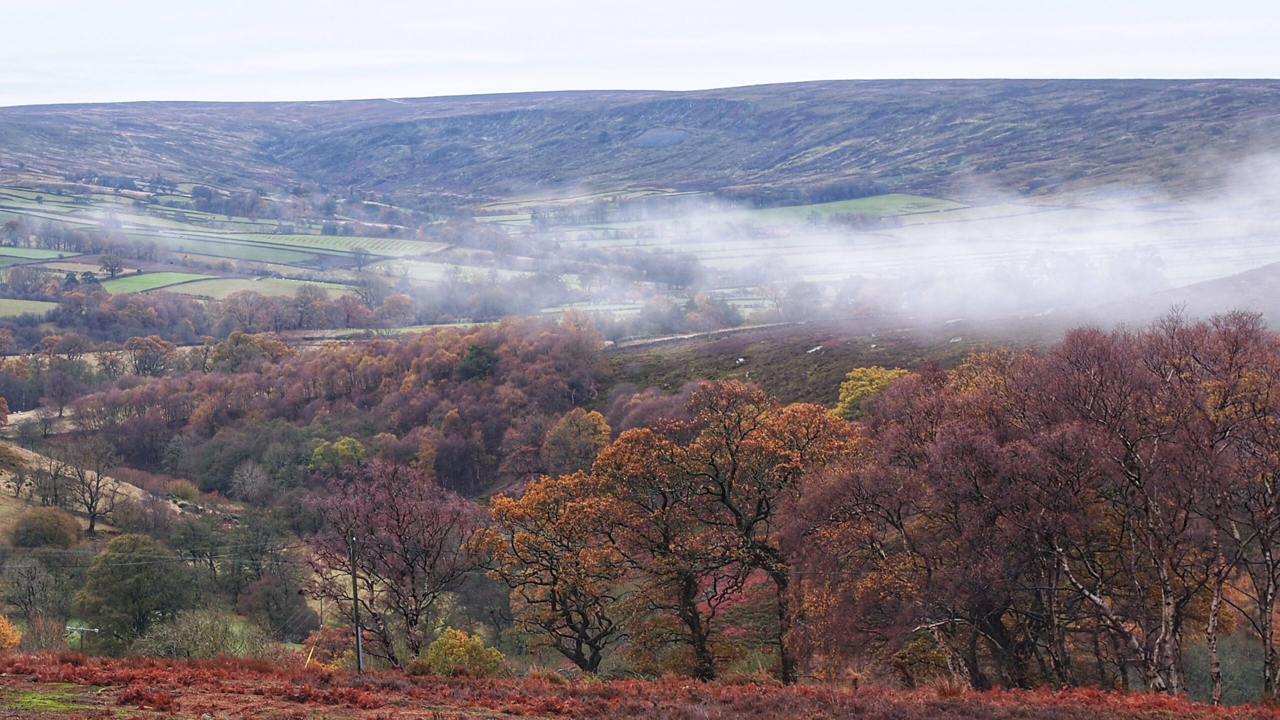
This is a misty view up Trowsdale, a name that has vanished from modern maps. Best understood as the eastern arm of Westerdale, it survives in the historical record. In 1771, Dale Head Farm, the last farm in the dale, was recorded as Trowsdale End Farm. The name itself appears much earlier, in an indenture of 1580 concerning the sale of property.
Westerdale village has the hallmarks of a planned nucleated community, with a line of tofts and crofts, a central parish church, and a nearby manor house and mill. Such villages are characteristic of the North York Moors, although nucleation is relatively uncommon, with habitation more typically scattered among individual farmsteads.
The wider parish has been described as having a ‘polyfocal’ pattern, with several distinct centres of habitation. Alongside the village, these included dispersed farmsteads, some grouped into small clusters such as Esklets. There were also several ‘ends’, a term denoting distinct local settlement foci. Trowsdale was one of them.
The 1580 indenture offers further clues to the history of this dale. It mentions Burnt Oak Hill, now more prosaically called Round Hill, immediately west of Brown Hill House and the site of an Iron Age hill fort. It also records woodland and common rights, suggesting the area was used for woodland pasture. The name Hollins points to woodland — holly provided valuable winter fodder for livestock in medieval times.
Another intriguing name is Lodge Carr, now Cockle House, which also appears in the farm inventory of 1771. The word ‘lodge’ suggests temporary accommodation, perhaps used by shepherds or cowherds bringing livestock to summer pasture. Even Broad Gate offers a clue to the landscape’s former use, its name suggesting a drove road leading into the dale.
Source: Wilson, Carol. “Westerdale: the origins and development of a medieval settlement.” Page 43. North York Moors Association. 2013.
Leave a Reply