We had read about some exciting new walks opened up through the Mulgrave Estate and thought we would give them a try. A chance to explore terrain previously inaccessible to the public. How generous. How progressive. Naturally, I had rather high hopes.
In retrospect, perhaps a closer look at the routes before setting off might have saved me some disappointment. The Estate’s splendidly named “Interactive Map”, powered by Google Earth, offers three routes, each a linear affair starting and finishing at arbitrary points, with neither car parking nor public transport to help you get there. On route, there are photographs to guide you. GPX files may well be available, but extracting any practical use from them requires a degree of route planning and technical know-how, followed by the small matter of transferring them to an O.S. map and devising a circular route yourself. A modest amount of effort, then, for what is presumably intended to be a public amenity.
The interactive map is, of course, entirely useless unless you fancy spending the entire walk staring at a phone. Perhaps that is the future of countryside access. Forget looking at the landscape. Look at a screen instead.
The route we eventually walked contained remarkably little “new” terrain. Much of it followed existing Public Rights of Way, complete with the traditional pleasure of ploughing through somebody’s crop of turnips. There are a few newly created footpaths, admittedly, though these amount to stretches of a few hundred metres running parallel to roads. In one place, a new path runs parallel to an existing Public Footpath. One can only admire the ambition. Presumably, the original path was getting lonely.
Mulgrave Woods, part of the Mulgrave Estate and comprising the twin valleys of Sandsend Beck and East Row Beck, remains entirely devoid of Public Rights of Way. The Estate does permit access on Wednesdays and at weekends, a concession advertised by rather intimidating signs at every entrance. Nothing says welcome to the countryside quite like being warned at the gate.
Our new route did venture briefly into Mulgrave Woods, where the waymarking managed to introduce a little contradiction into proceedings. It would be unfair to expect everything to work, of course. Someone had already gone to the trouble of putting up signs.
The Estate’s collection of three waymarked routes looks rather attractive on its newly created website. A fine display of environmental awareness, public engagement and progressive land management. One cannot help suspecting, however, that the whole exercise amounts to little more than a box-ticking operation designed to help secure some funding. The website looks the part. The actual walking experience is another matter.
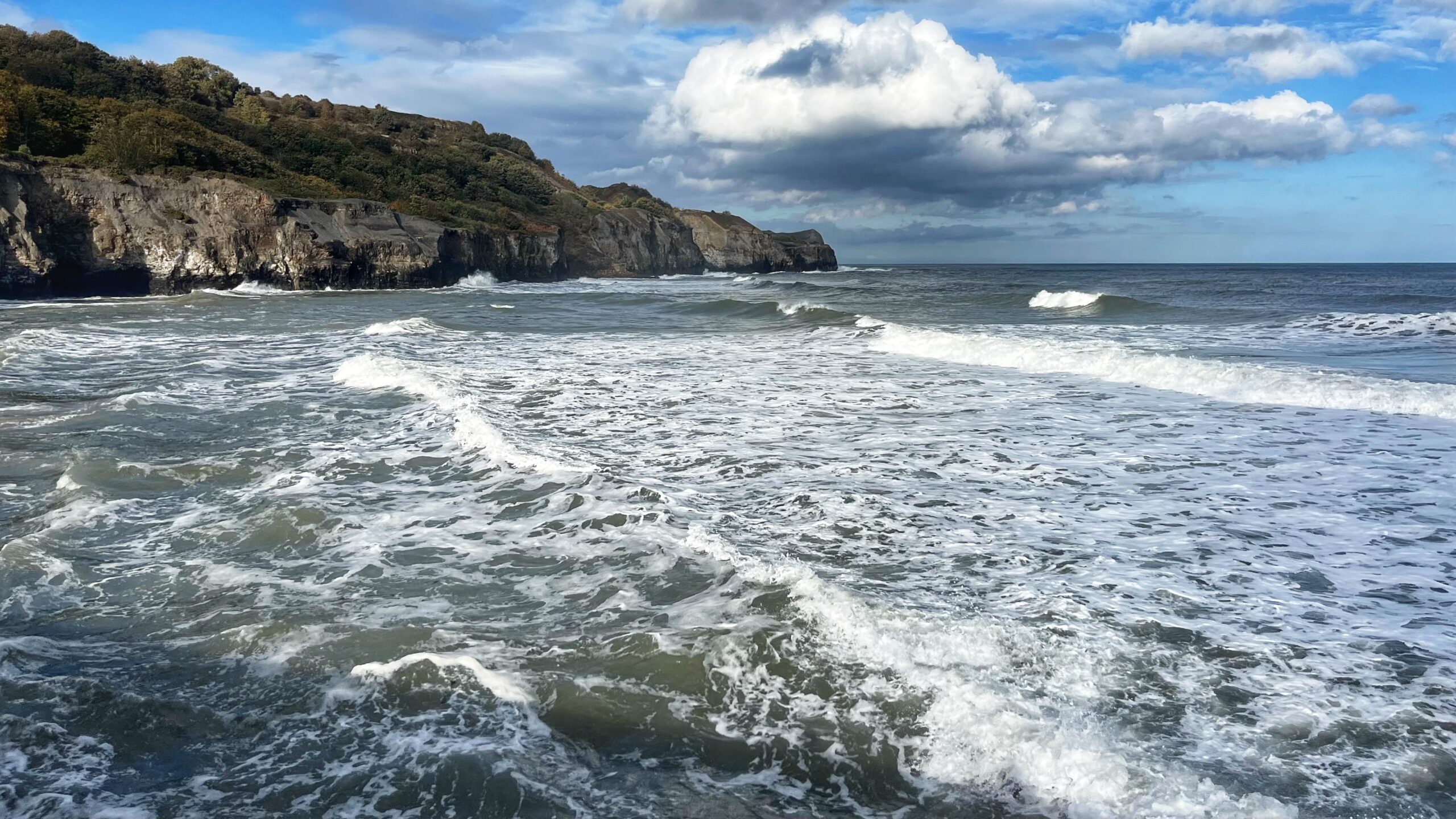
We did at least pass the old mill at Barnby Beck, although the rest of the route offered precious little to excite the camera. For all the talk of newly accessible countryside, the most photogenic thing we encountered was the car parking at Sandsend, where a turbulent high tide provided a welcome reminder that nature can still put on a decent show without an interactive map, a waymarking scheme or a funding application.
Leave a Reply