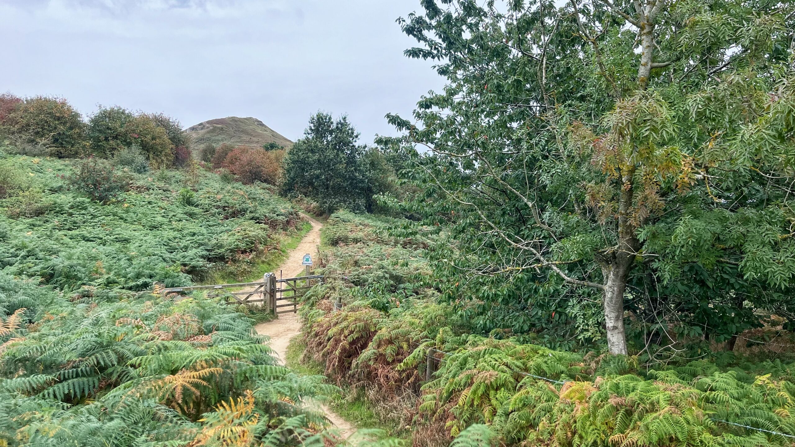
An old photograph has been doing the rounds on Facebook, so I thought I would have a go at recreating it. The original is in monochrome, underexposed and a bit fuzzy. Someone has since enhanced it with AI, and the result is far sharper. There is also a colourised version knocking about, though here the AI has rather lost the plot and naively has drenched everything in green. The bracken appears not yet up to any great height, so my guess is the photograph was taken late winter or early spring1Burrell, David. Nostalgic North Riding. 22 Sept 26. Enhanced AI image by Steve Hodson. https://m.facebook.com/groups/349999699675100/permalink/1768360757838980/? [Accessed 25 Sept. 26].
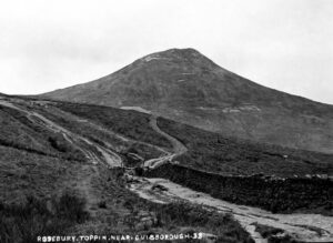 The caption reads “Rosebury Toppin“, quaint as anything, and a date 1910 has been mooted. That places it before the 1912 land slip, though the profile of the hill would show little change from this north-eastern view.
I would have liked to get to a more exact spot, but chest-high bracken and a barbed wire fence put paid to that plan.
A few observations, then. The first thing that strikes me is the complete absence of trees. That sort of fits with the late winter or early spring theory, since any saplings would not yet have burst into leaf. But no mature trees. The prominent dry-stone wall has vanished entirely, replaced by a post and wire fence. It has most likely ended up as someone’s garden wall.
Like Trigger’s Broom, a gate is still there, in the same spot by Bridle Gill, on the boundary between the townships of Newton and Pinchinthorpe. What did surprise me was that the Edwardian paths were far more braided, which says something about just how popular Roseberry has always been as an attraction. Modern path upgrades have since kept wandering feet in check.
- 1Burrell, David. Nostalgic North Riding. 22 Sept 26. Enhanced AI image by Steve Hodson. https://m.facebook.com/groups/349999699675100/permalink/1768360757838980/? [Accessed 25 Sept. 26] ↩︎
Leave a Reply