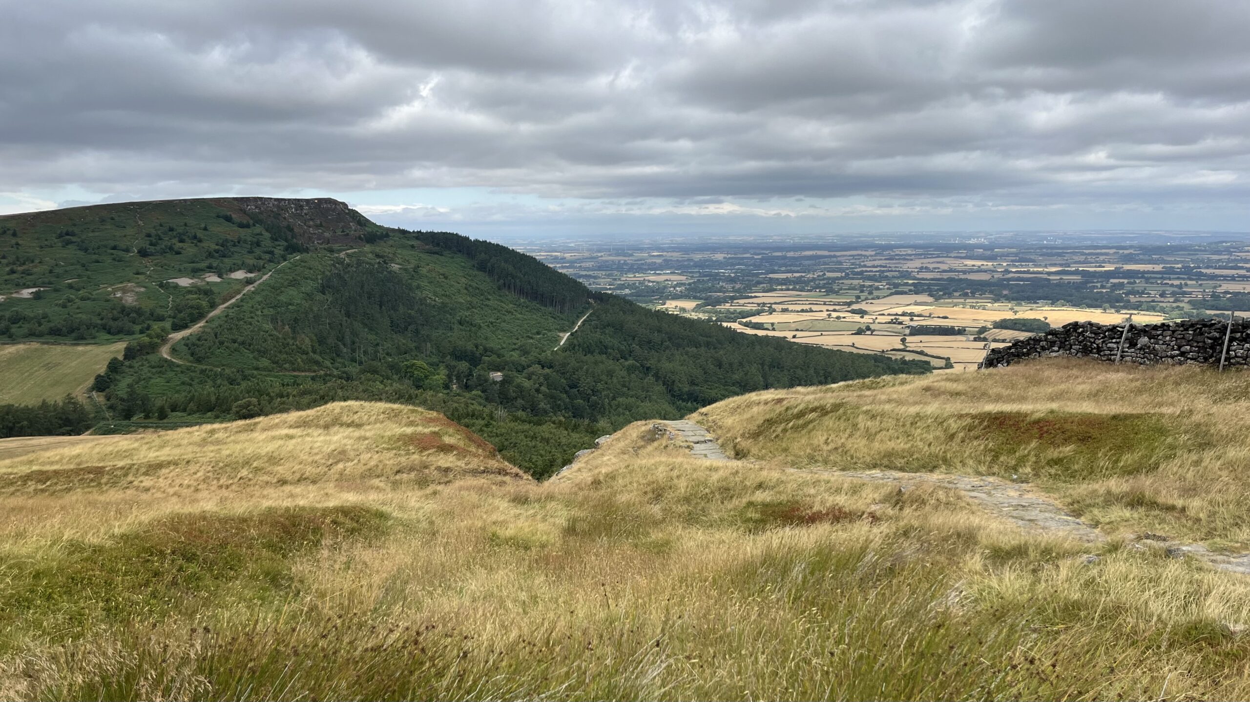
Walking down from Carr Ridge towards the col at Clay Bank never fails to set me wondering. Is this deep gash in the hillside natural, or did centuries of boots and hooves carve it out, a proper holloway worn into the moor? Go off-piste and you will come across other gullies running alongside it, plainly the same old path splitting and rejoining, a braided track laid down by generations who never once wrote down where they were going.
And old it certainly is. This way was once called Haggesgate, and it linked the market town of Stokesley to the Thurkilsti road, which ran south along Bransdale Rigg to Welburn. The name still has a story in it: in parts of Yorkshire, hagg apparently means a stretch of woodland clinging to a sloping bank. Thurkilsti has an even older pedigree. It means Thurkill’s hill road, and turns up first in Walter Espec’s grant of land to Rievaulx Abbey, back in 1145. Nearly nine hundred years of feet on the same line of hill.
These days the National Park Authority has laid a tidy paved path off to the right, steering walkers clear of the gulley altogether. Sensible, no doubt, but something is lost when the ground stops choosing the route and an authority starts choosing it instead. Even so, the way is busier than it has ever been, carrying two of the country’s best-loved long distance paths, the Cleveland Way and the Coast to Coast, over ground that Thurkill himself may once have walked.
Leave a Reply