Retirement was meant to cure the Monday morning blues. It has not. That grim feeling still turns up right on schedule, uninvited and entirely unbothered by my pension.
So the mind wanders back to the weekend, when we cycled south into the Howardian Hills, fifteen miles of Corallian limestone squeezed between the Vale of York and the Vale of Pickering. They take their name from the Howard family, whose great pile at Castle Howard still lords it over the countryside like it owns the place, which, in fairness, it rather does. Along the northern edge of these hills sit the “street” villages, once known collectively as Holdelithe1Rushton, John. The Ryedale Story—A Yorkshire Countryside Handbook. Page 71. Ryedale District Council. 1986..
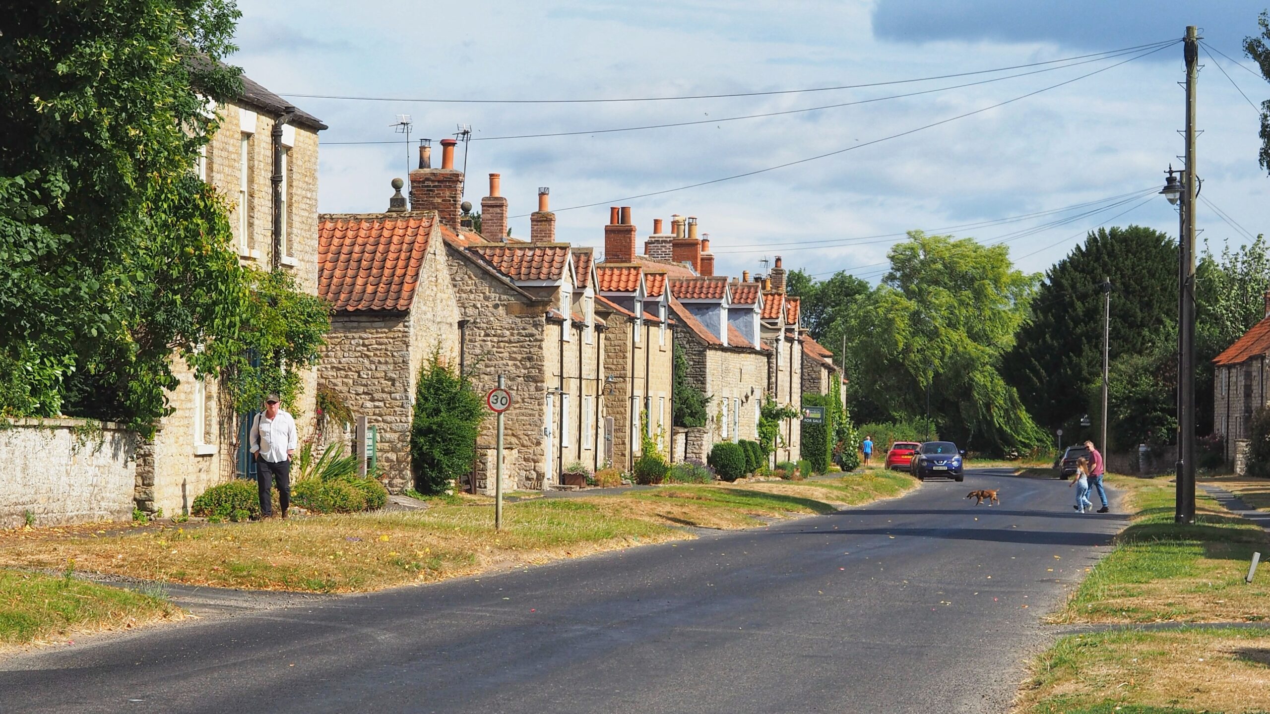
Slingsby was the first stop, pretty as a postcard and oddly short of parked cars. Compare that with the North York Moors, where every verge is a car park these days, and Slingsby starts to look positively virtuous.
The villages owe their neat arrangement to the Romans, who built the road locally called “the Street.” It survives today as the B1257, running from Malton to Hovingham with the same stubborn directness the Romans built everything with. Houses and plots, known as tofts and crofts, were laid out in rows along either side of the road, and the pattern has barely shifted in two thousand years. Even the churches keep the old alliance alive. Slingsby’s Anglican church belongs to the Benefice of the Street Parishes, proof that the Romans actually did something for us, even if it was just getting people to church on Sunday.
- 1Rushton, John. The Ryedale Story—A Yorkshire Countryside Handbook. Page 71. Ryedale District Council. 1986.
Leave a Reply