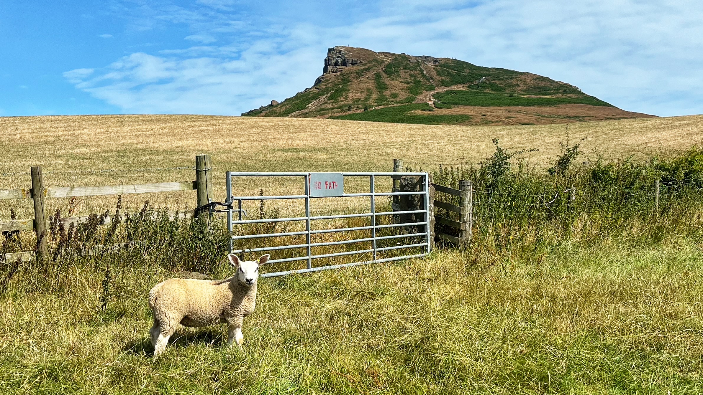
The gate itself is nothing to write home about. Seven metal bars, a stone post, the sort of thing you would walk past without a second glance. The gatepost once had a partner, another “stoup” standing guard on the other side, but that would have got hauled out years ago so tractors could squeeze through. Progress, of a sort.
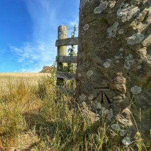
Look closer, though, and there is a carving on that post that turns up in the most unlikely places. Market towns. Village churches. The middle of nowhere on a windswept moor. And, now and then, on a gatepost like this one.
It is a benchmark, the Ordnance Survey’s old tool for pinning down height above sea level. The horizontal line did the actual work of the survey. But it is the three little lines underneath that stopped me in my tracks today, the “broad arrow”, a stylised arrowhead with a tang and two barbs meeting at a point. Heraldry used it first. The British government borrowed it later and never gave it back.
The story starts with Henry VIII, who set up the Office of Ordnance to keep the navy stocked with guns and equipment. By 1597 it had become the Board of Ordnance, and the broad arrow became its calling card, stamped on anything the Crown could lay claim to.
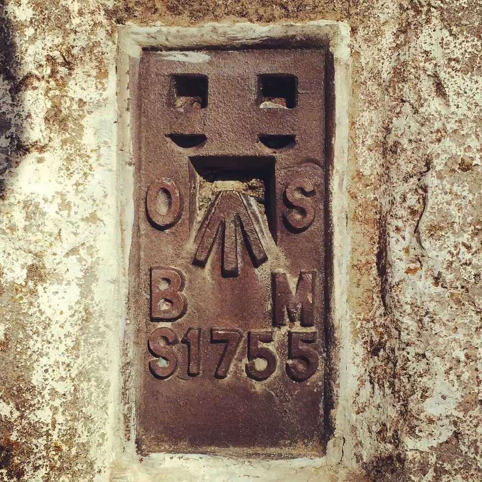
From there it went everywhere. Mast-quality trees in the seventeenth century, felled and marked as Crown property. Prison uniforms in the nineteenth, so nobody could pretend they had wandered off a different sort of estate. Spoons, cannonballs, milestones, postboxes, even the nails holding ships together, all stamped across the Empire in one form or another. Once you notice it, you cannot stop noticing it, and it is still in use today by the Ministry of Defence, sometimes going by the rather more homely name of the “crow’s foot”.
Whether the Ordnance Survey’s mark descends directly from Henry’s original office, I cannot say for certain. Nobody I have found has proved it outright. Given the Survey’s military roots, though, it would be a strange coincidence if it did not.
And here is the sting in the tail: reproducing the broad arrow without permission is still a criminal offence in Britain, in much the same way as faking a hallmark. Section 4 of the Public Stores Act 1875 saw to that. So tread carefully if you fancy stamping it on your garden shed.


Leave a Reply