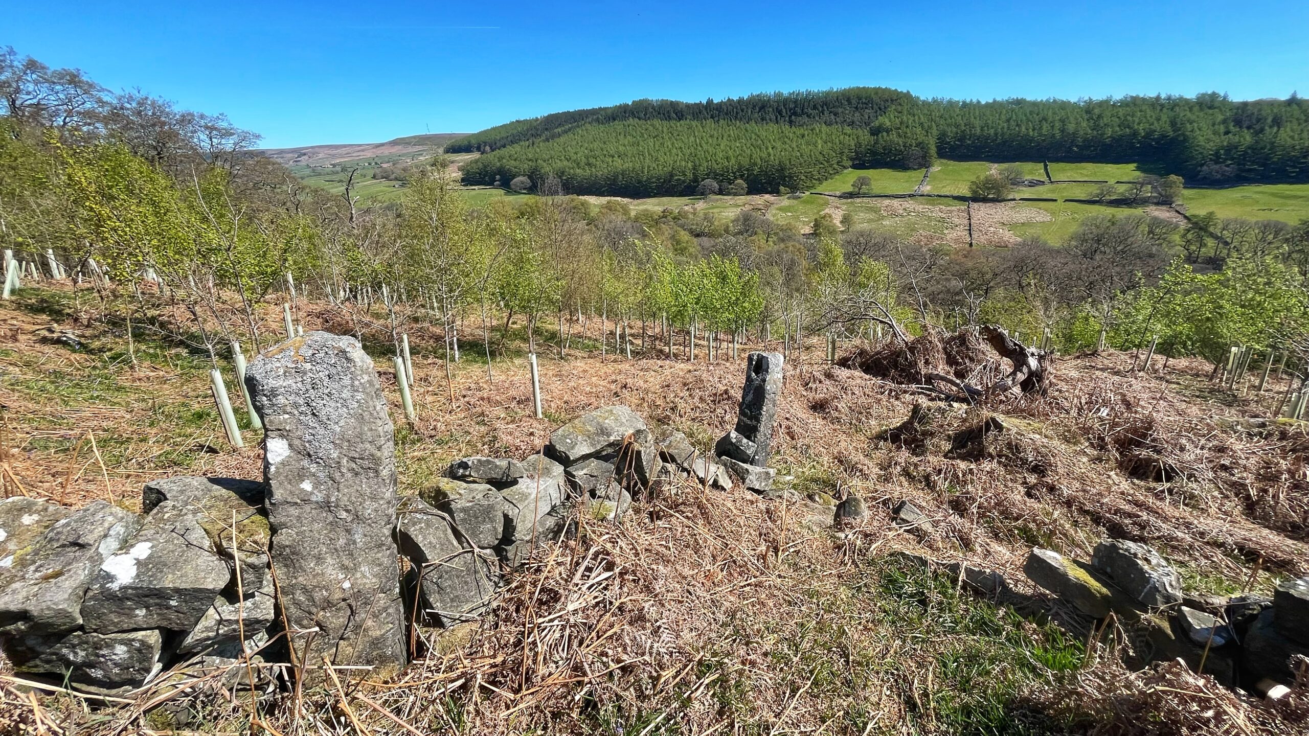
Someone went to extraordinary lengths to block up what was once a field gate. It sits in a tangle of old inbye fields to the west of St. Catherine’s House in Bransdale. The field boundaries appear on the oldest Ordnance Survey maps, so the dry-stone wall and its two gateposts, or “stoops”, were almost certainly already there when the map-makers came calling.1OS Six-inch England and Wales, Yorkshire Sheet 58. Surveyed: 1854, Published: 1857.https://maps.nls.uk/view/266665084#zoom=6.3&lat=5158&lon=15337&layers=BT2National Trust Heritage Records Online. Record ID: 32249 / MNA146185. https://heritagerecords.nationaltrust.org.uk/HBSMR/MonRecord.aspx?uid=MNA146185 [Accessed 30 April 2026]
Which raises the obvious question: why fill a gap with stone when a wooden hurdle would have done the job perfectly well? Some people are never happy with a simple solution.
In recent years, the walls no longer contain the livestock and saplings, birch, rowan and oak, have been planted among the few mature native trees already standing. Some have done rather well. Others have had a thoroughly miserable time of it, flattened by the wind and stripped bare by rabbits with very little else to do.
Today’s task was simple enough: stake the fallen trees back up, tidy the mess, and pull the guards off any tree now as thick as a forearm.
A new corner of Bransdale to explore, fresh views across to Clegret Bank on the eastern valley side, and the whole thing done under a sky that had clearly decided to make an effort for once.
- 1OS Six-inch England and Wales, Yorkshire Sheet 58. Surveyed: 1854, Published: 1857.https://maps.nls.uk/view/266665084#zoom=6.3&lat=5158&lon=15337&layers=BT
- 2National Trust Heritage Records Online. Record ID: 32249 / MNA146185. https://heritagerecords.nationaltrust.org.uk/HBSMR/MonRecord.aspx?uid=MNA146185 [Accessed 30 April 2026]
Leave a Reply