Tag: 19th-century
-
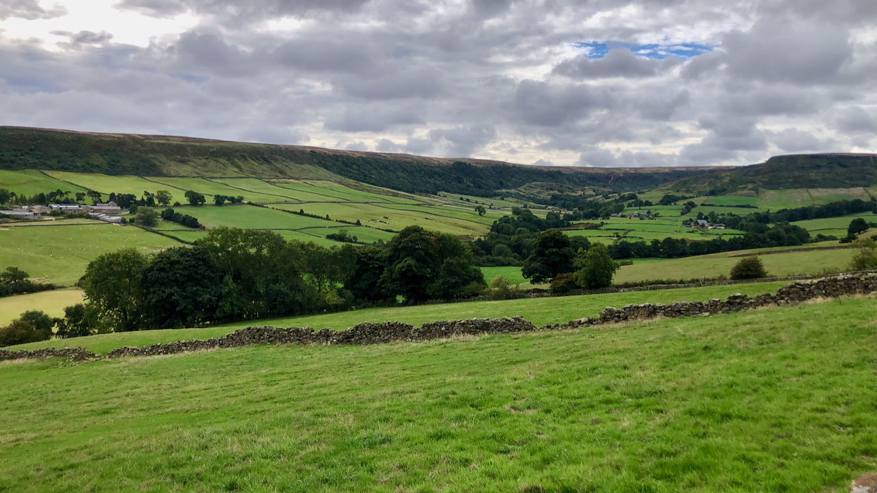
Fryup Dale
Or more strictly, Great Fryup Dale, since the dale is generally said to comprise two parallel steep sided u-shaped valleys: Little and Great Fryup Dale, connected by a col, Fairy Cross Plain. Both dales are broad and flat with steep rims of scrub and patches of ancient deciduous woodland. In searching the history of the…
-
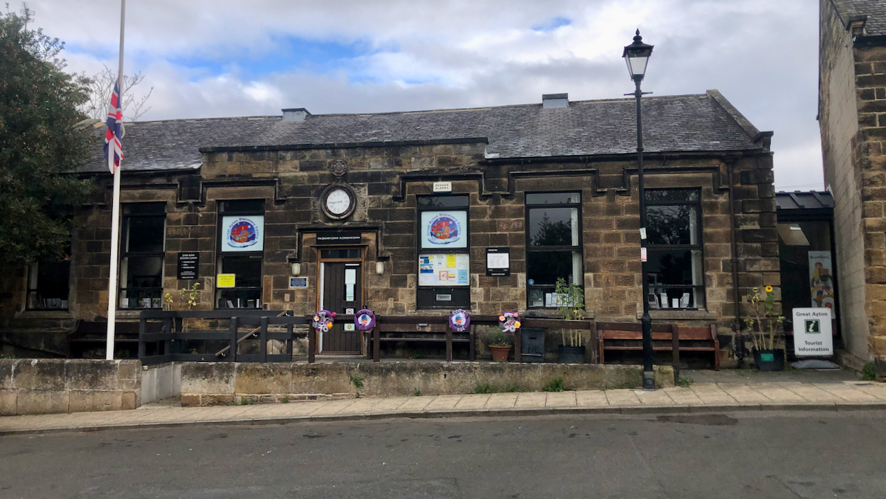
The British School
It’s rare to find a view in the village without parked cars. This is Great Ayton’s Discovery Centre, a community run library set up in 2013 if I recall, after the North Yorkshire County Council threatened the existing library with closure. The Union flag is at half-mast in respect of HM Queen Elizabeth II. The…
-
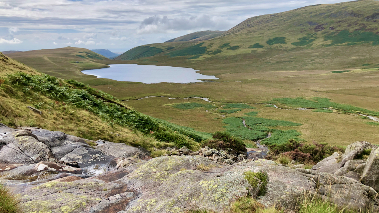
Burnmoor Tarn
Described by Coleridge as “flounder-shaped” with “it’s Tail towards Sca’ Fell, at its head a gap forming an inverted arch with Black Comb & a peep of the Sea seen thro’ it“. He was on his ascent of Scafell in 1802, and took the direct route from Burnmoor Tarn, so he could well have passed…
-
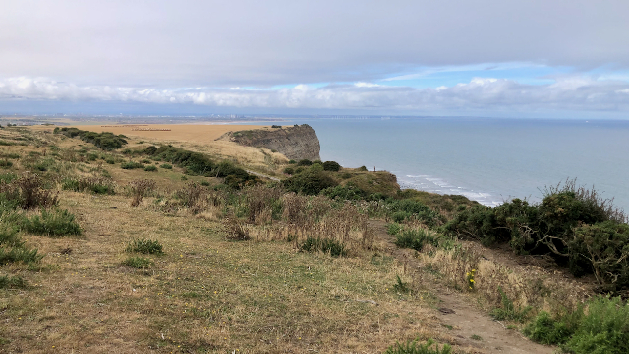
Cliff Ironstone Quarry
One of the lesser known ironstone mines in Cleveland. Well, actually it was a quarry for the first 8 years of its operation from 1857 to 1865. An account published in 1866 by ‘J.G.’ is interesting: Enchanting as everything appeared we had no time to linger, so we began our trip from the beach and…
-
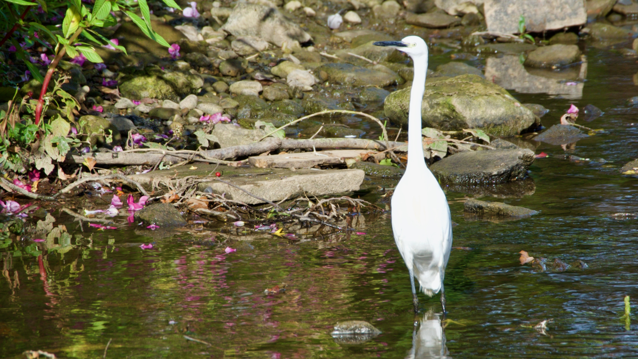
I’ve finally managed to snap a photo of this graceful bird
Small and elegant with its brilliant white plumage, this attractive bird has been hanging around the village for several years with reports in Guisborough and Stokesley — but is the same bird? My RSPB 2002 book says Little egrets (Egretta garzetta) are resident in southern Britain and move south for the winter — is this…
-
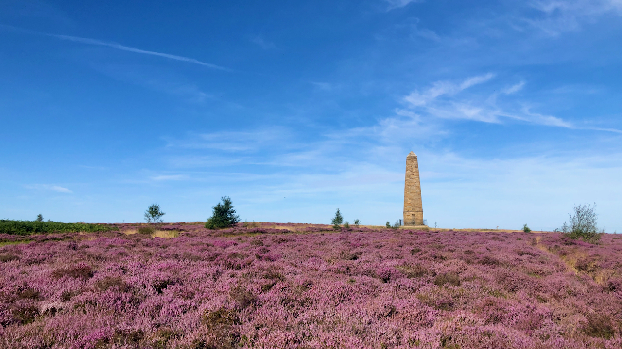
Capt. Cook’s Monument
It’s been quite a few weeks since I last posted a photo of the dear old monument on Easby Moor to Great Ayton’s favourite son. Over the years, it’s been through its trials and tribulations. The originally one was made of wood and erected in 1827 but it caught fire and was replaced by the…
-
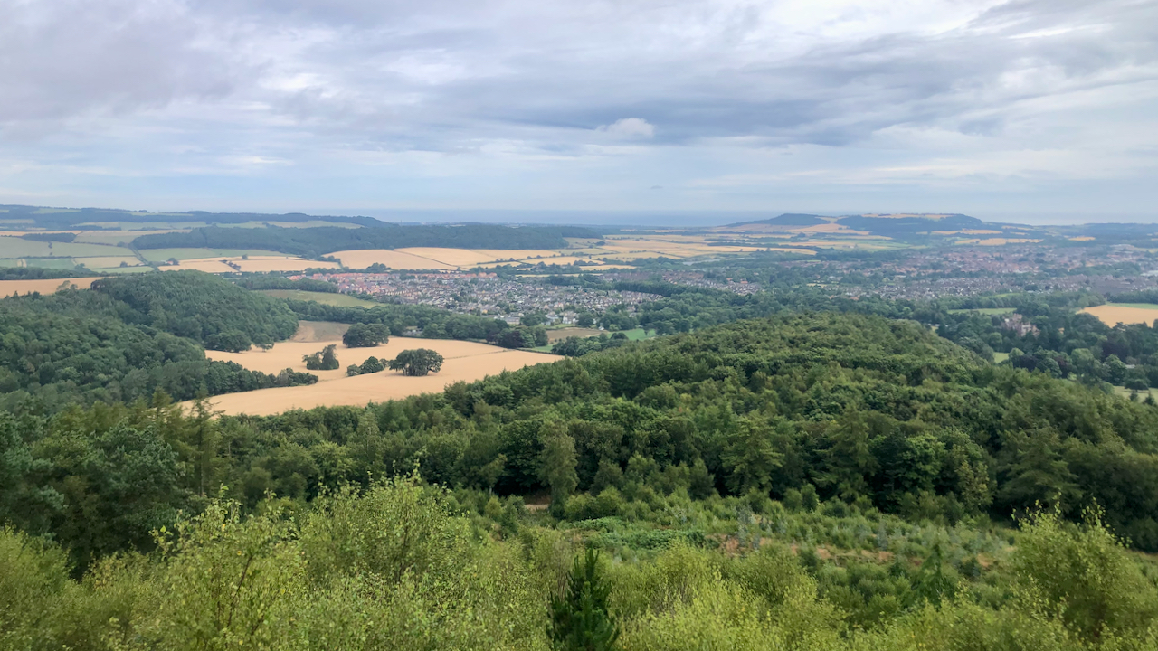
The Vale of Guisborough
In the 2011 census, the population of Guisborough was 16,979; way back in 1851 it was 2,062. The decade that followed saw the arrival of the railway and the rapid development in the ironstone industry. Although the railway was built initially to serve the needs of the Peases’ ironstone mine at Codhill, it also would…
-
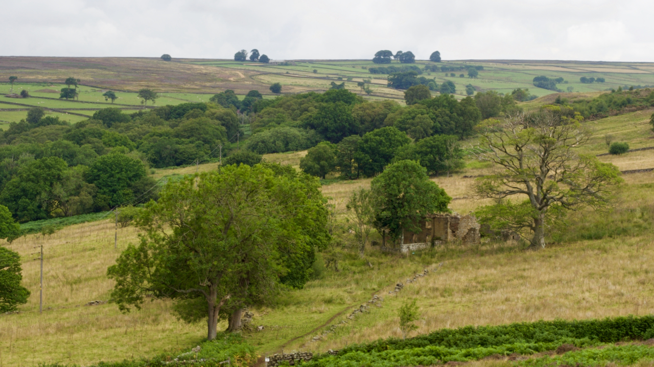
Ladhill Gill
Ladhill Beck separates the parish of Hawnby from Bilsdale Westside. The upper reaches have a desolate feel with forlorn farmsteads: Honey Hill, Sike House, Low and High Twaites, Hazelshaw House, Sod Hall, Weather House, and Bumper Castle. That’s Bumper Castle in the photo, right of centre. It seems to have grown more forlorn since the…
-
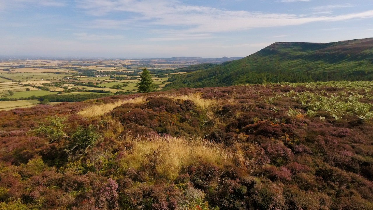
Gold Hill
A wander around Whorlton and Carlton Moors on a lovely morning. The first blooms of the ling are out and looking good. Down below in the vale of Cleveland pastures are dry and crops are ready for harvesting, giving the feel of an African savannah. A small excursion across the heather to the site of…
-
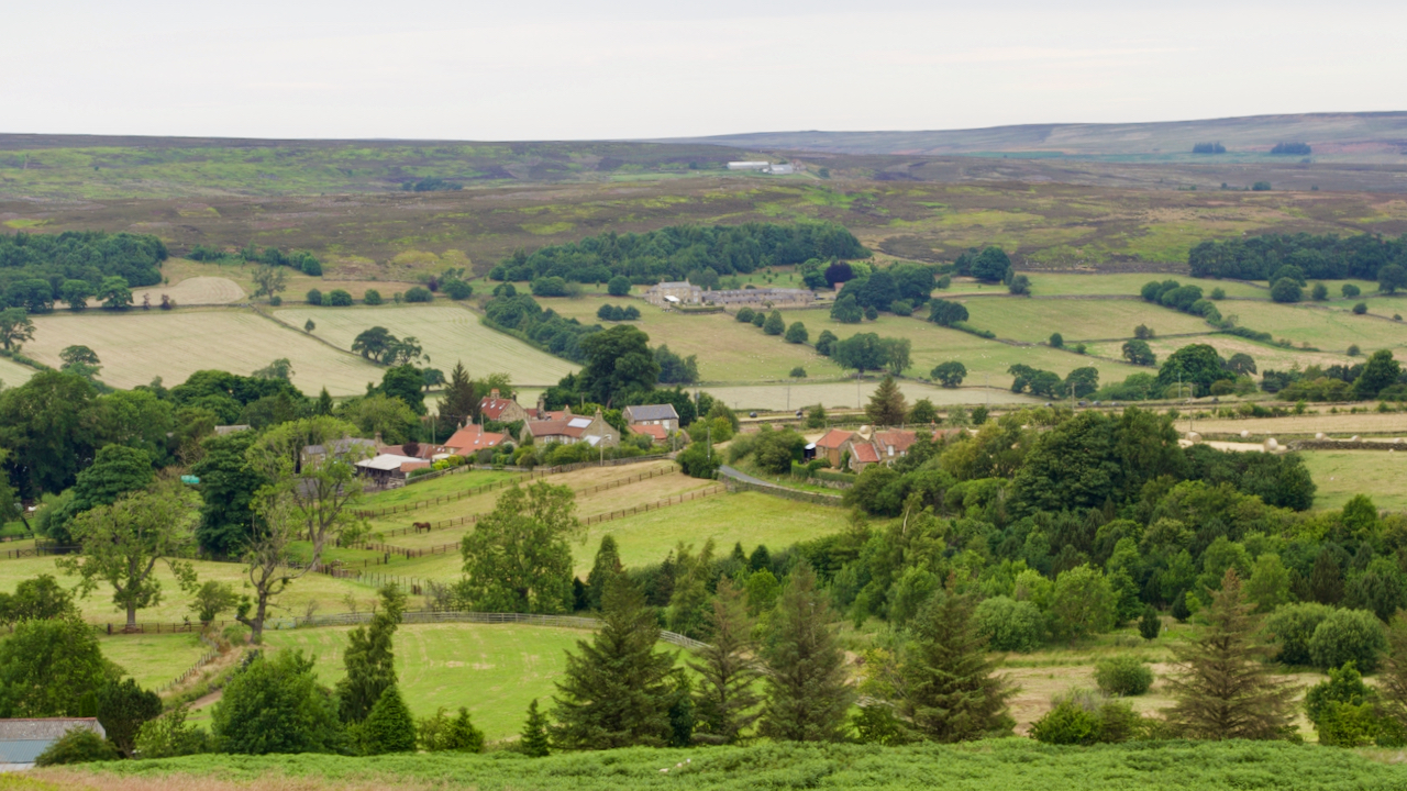
The hills look down on Westerdale, and Westerdale looks at the hills
So the Whitby gazette wrote in 1911, borrowing heavily from Lord Bryon’s poem about the battle at Marathon. Today it’s such a sleepy village, home to about a hundred and thirty retirees and professionals, with a handful of working farms. Its location is not conducive as a base for walking, so most of us fly…