Tag: 19th-century
-
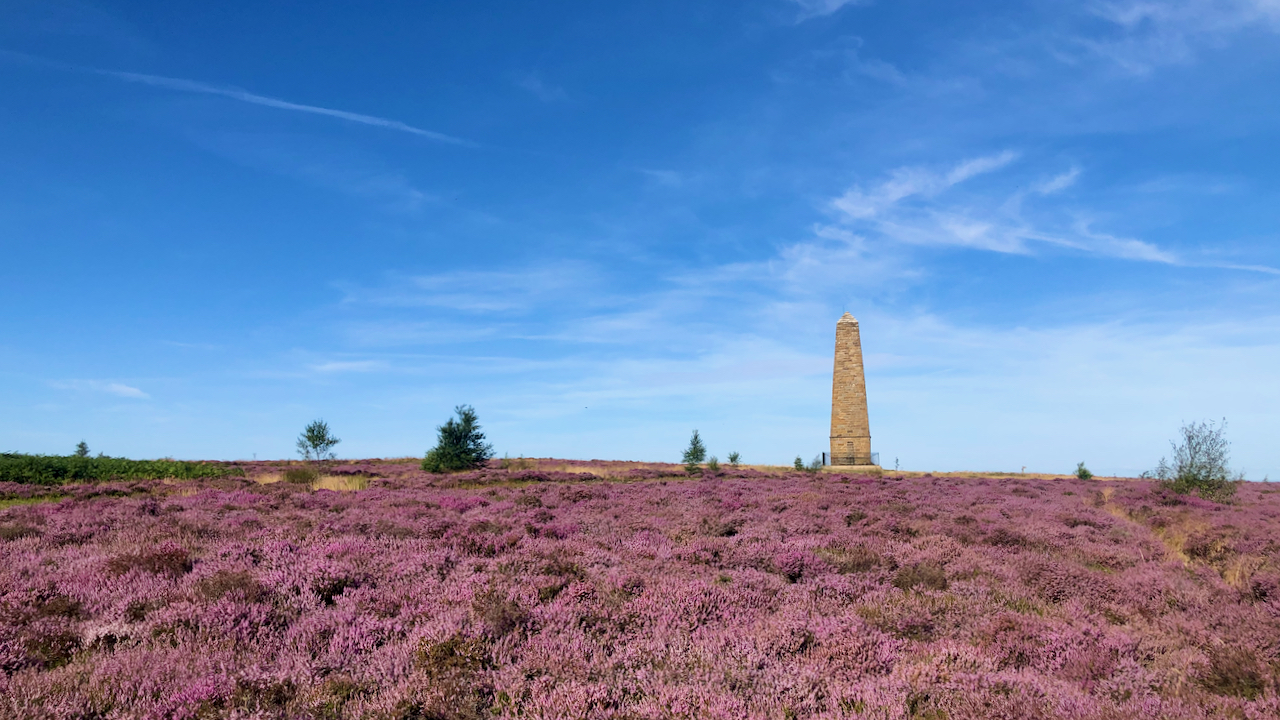
Capt. Cook’s Monument
It’s been quite a few weeks since I last posted a photo of the dear old monument on Easby Moor to Great Ayton’s favourite son. Over the years, it’s been through its trials and tribulations. The originally one was made of wood and erected in 1827 but it caught fire and was replaced by the…
-
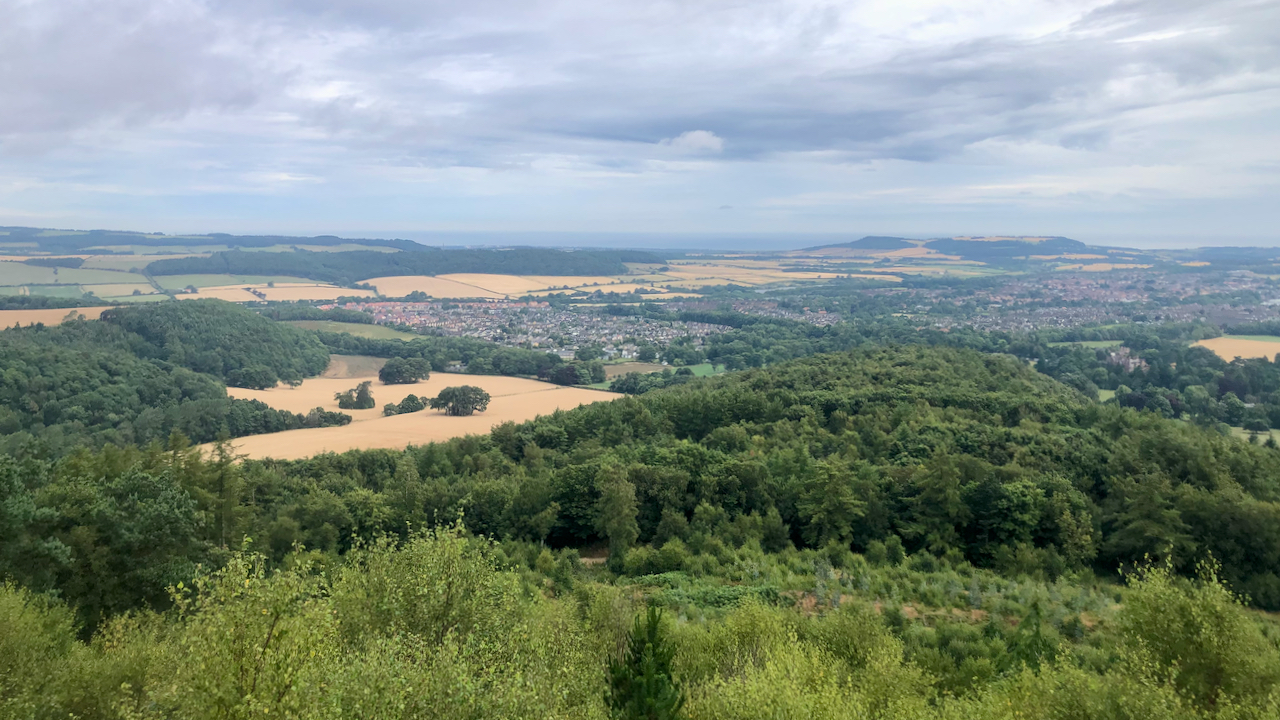
The Vale of Guisborough
In the 2011 census, the population of Guisborough was 16,979; way back in 1851 it was 2,062. The decade that followed saw the arrival of the railway and the rapid development in the ironstone industry. Although the railway was built initially to serve the needs of the Peases’ ironstone mine at Codhill, it also would…
-
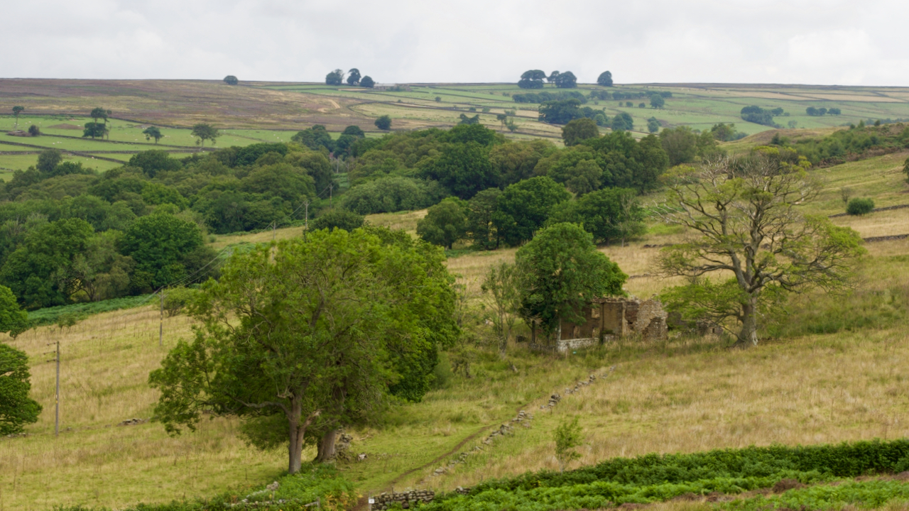
Ladhill Gill
Ladhill Beck separates the parish of Hawnby from Bilsdale Westside. The upper reaches have a desolate feel with forlorn farmsteads: Honey Hill, Sike House, Low and High Twaites, Hazelshaw House, Sod Hall, Weather House, and Bumper Castle. That’s Bumper Castle in the photo, right of centre. It seems to have grown more forlorn since the…
-
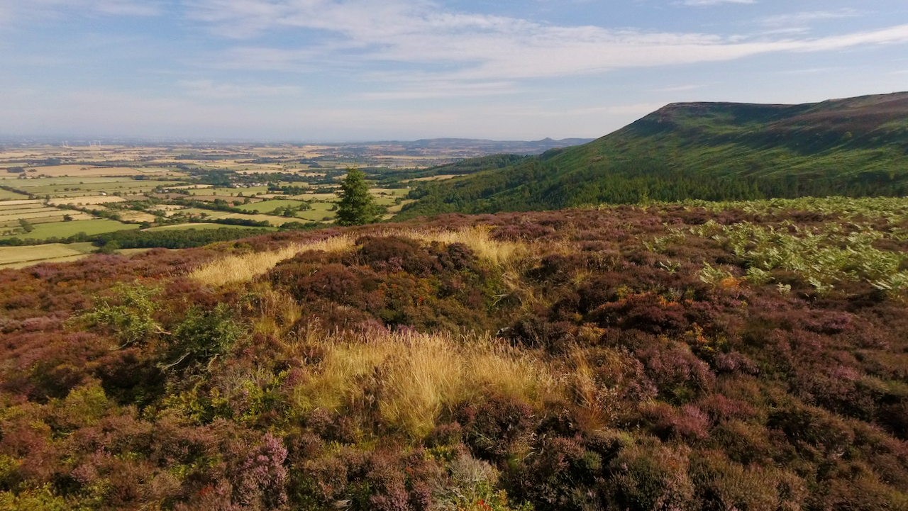
Gold Hill
A wander around Whorlton and Carlton Moors on a lovely morning. The first blooms of the ling are out and looking good. Down below in the vale of Cleveland pastures are dry and crops are ready for harvesting, giving the feel of an African savannah. A small excursion across the heather to the site of…
-
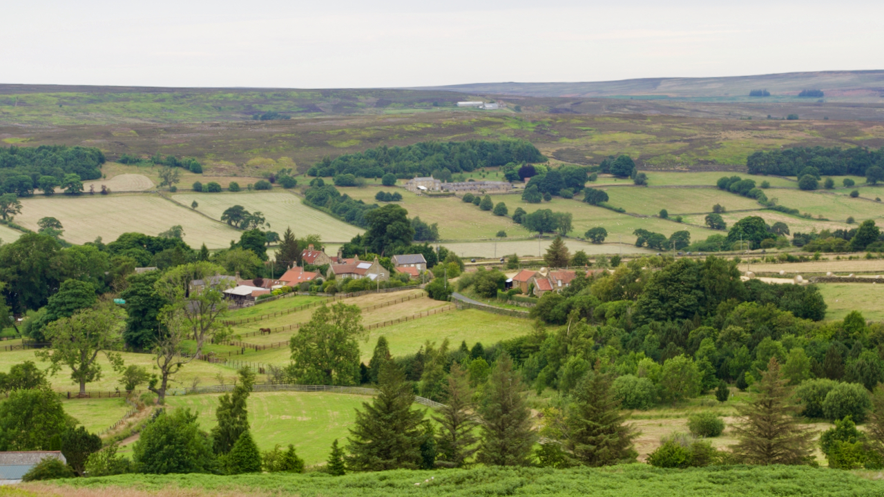
The hills look down on Westerdale, and Westerdale looks at the hills
So the Whitby gazette wrote in 1911, borrowing heavily from Lord Bryon’s poem about the battle at Marathon. Today it’s such a sleepy village, home to about a hundred and thirty retirees and professionals, with a handful of working farms. Its location is not conducive as a base for walking, so most of us fly…
-
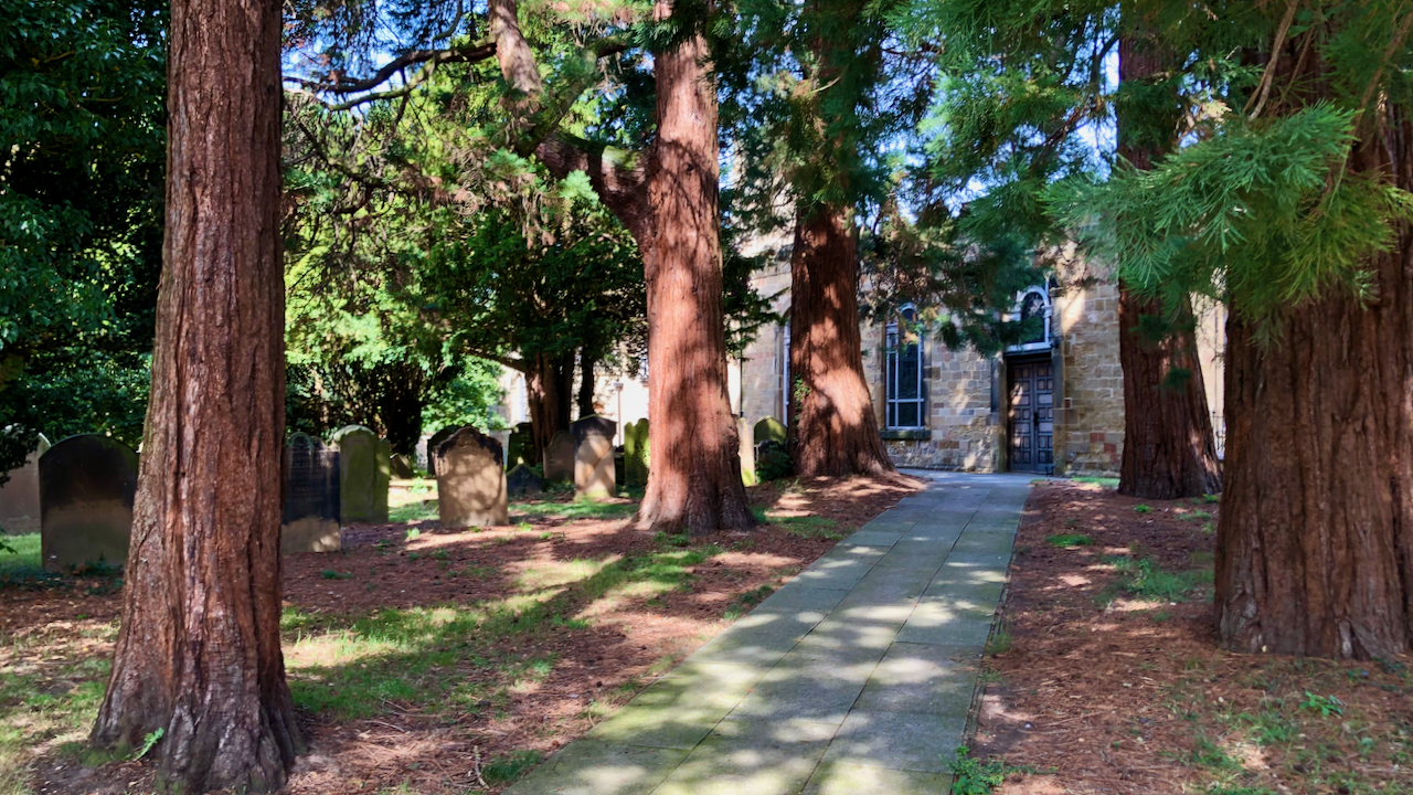
Benjamin Flounders (1768 – 1846)
I originally started this blog as a photo-blog. A photo a day with a bit of a caption, and more often than not that’s the way it goes, I pick my best picture and write something to accompany it. Occasionally however I come across a interesting snippet of history or whatever and then make it…
-
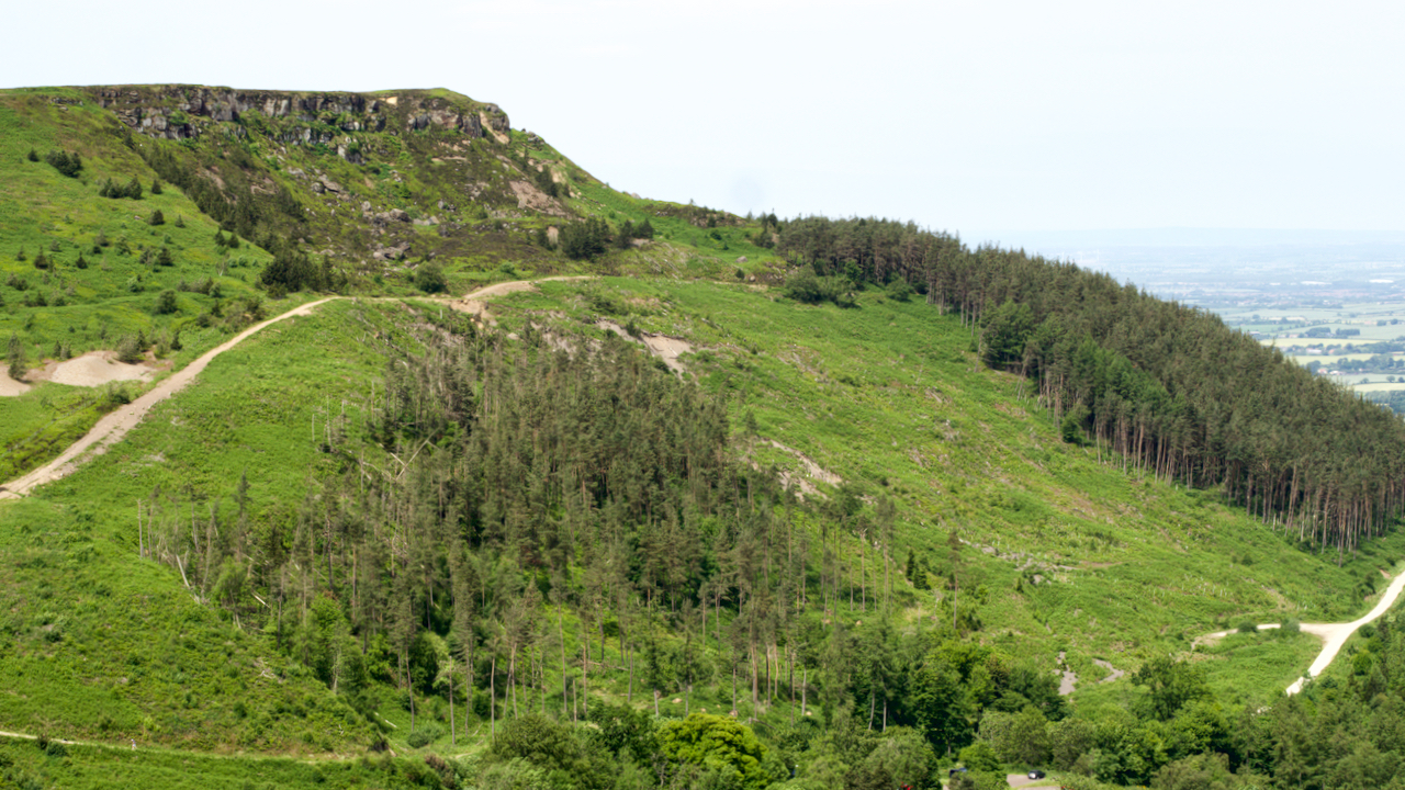
The Great Landslip of 1872
A hill of many names, Cushat Hill, White Hill, Clay Hill. According to the first O.S. Map published in 1857, the prominence is White Hill, the lower part of the road climb is Clay Hill Bank, and the upper part Cushat Hill. Just to be clear, Hasty Bank is the south face. The road of…
-
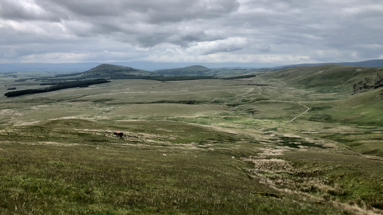
Threlkeld Common
The boggy wilderness of Threlkeld Common, perhaps more well known because of the ‘Old Coach Road’ which traverses it between Dockray and Wanthwaite, keeping to higher, drier ground. I haven’t been able to find much about the road’s history but I surmise it was the old route between Penrith and Keswick before the bridge over…
-
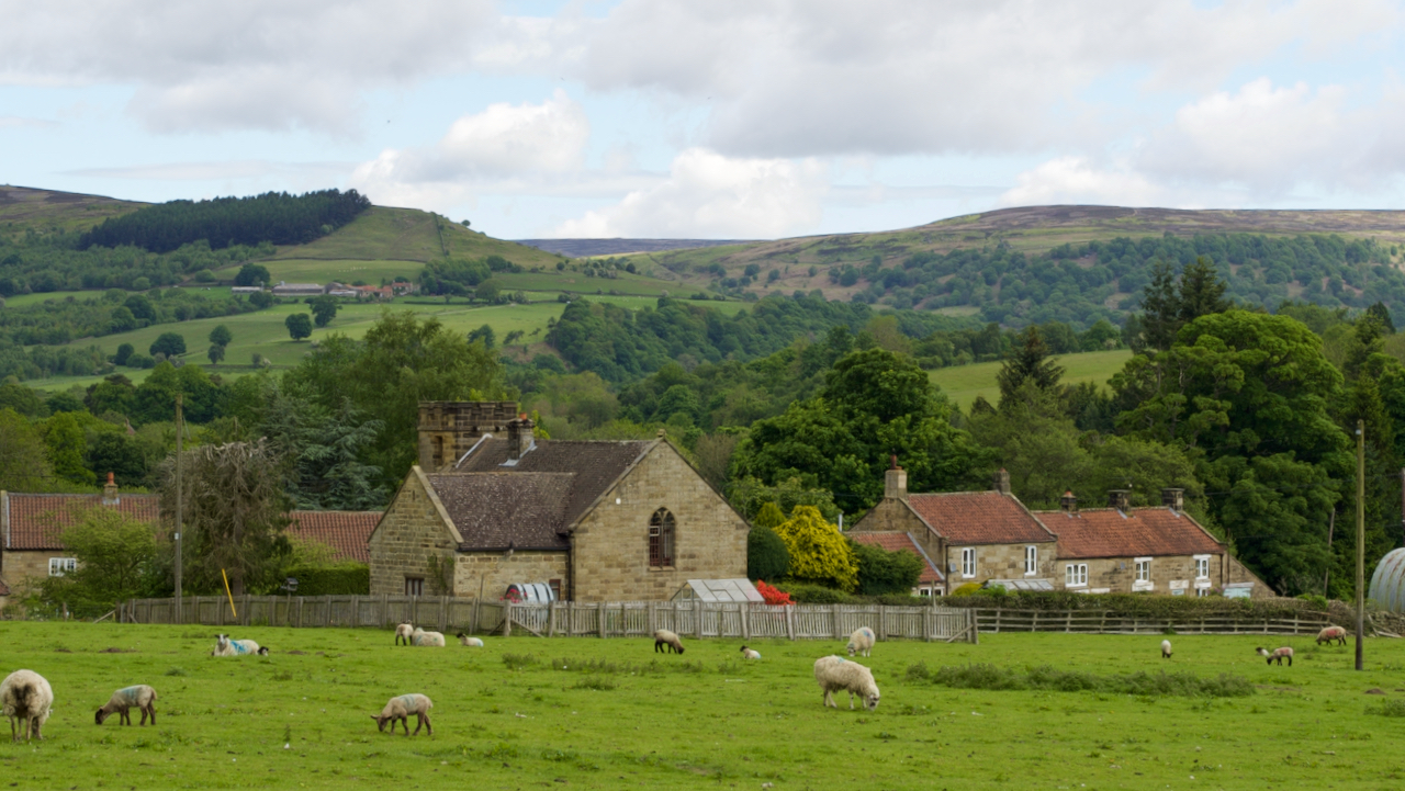
Fangdale Beck
I find it frustrating photographing villages, there are always cars parked along the lanes and many interesting buildings have undergone conversion into residential. Take for example the methodist chapel at Fangdale Beck, half way down Bilsdale. Built in 1927, last used in 1984, and since converted. To me, it is a rather unusual methodist chapel…
-
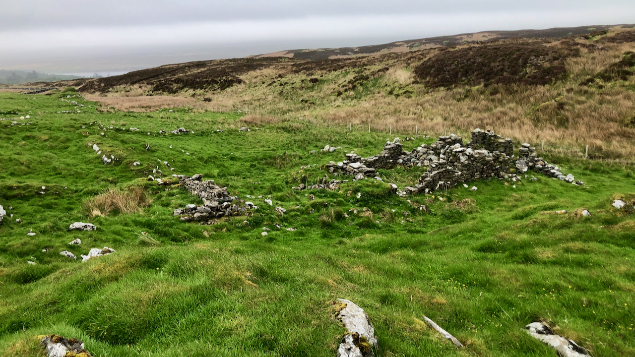
Kilslevan deserted village
The remains of deserted houses and settlements are common throughout the whole of Scotland, Islay is no exception. Kilslevan seems to have once been a township of at least eight longhouses, and several other buildings, enclosures and two corn-drying kilns although these are hard to discern under the grass and moss. There are the ruins…