Category: Cleveland Hills
-
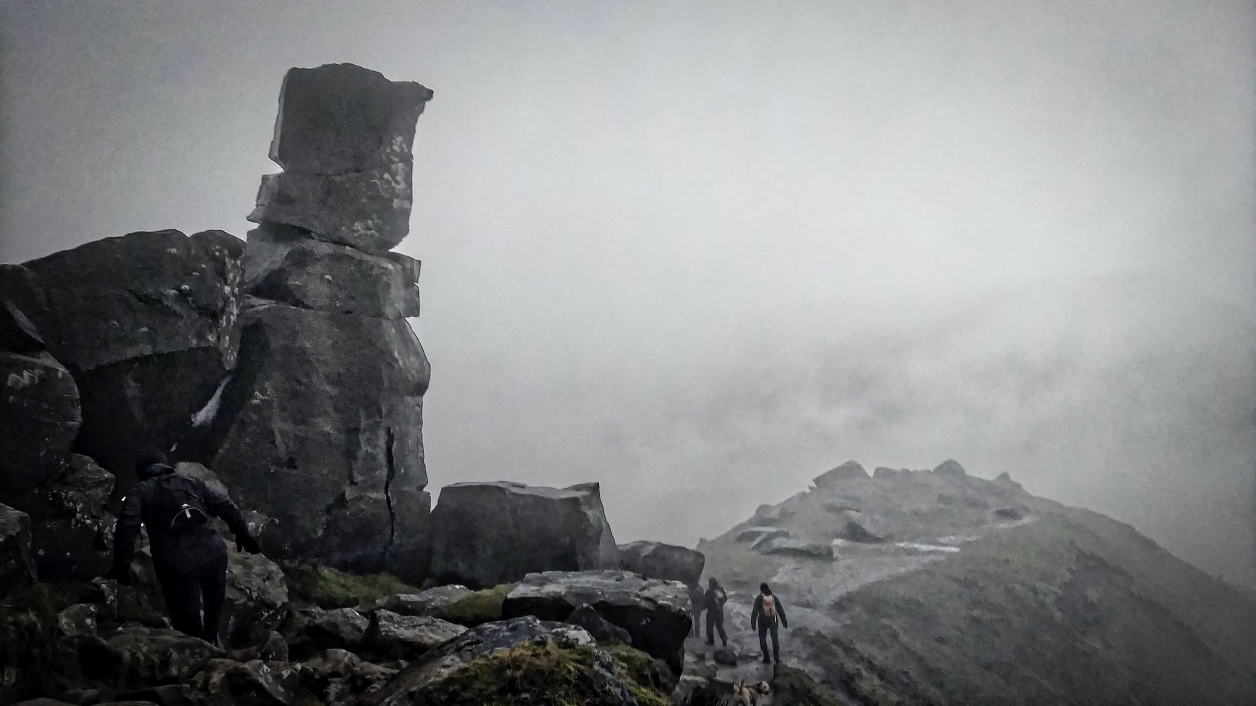
A wet and wild Wainstones
What more is there to say? Perhaps a poem, a sonnet in fact, written in flowery Victorian language but titled quite simply “The Wainstones, Broughton Bank” From early youth, to more than three-score years, I’ve loved to climb the mountain on which stand The rugged WAINSTONES; or on every hand Are scenes of beauty; Cleveland…
-
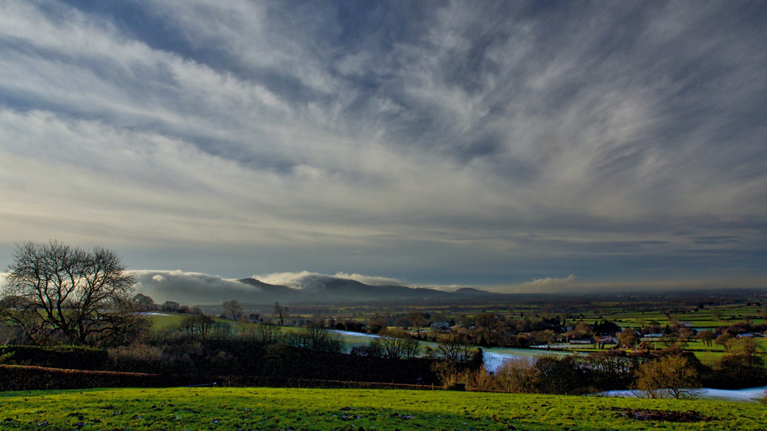
The Cleveland Hills
Not a rare phenomena on the Cleveland Hills but one of my favourites. Typically in the colder months fog in the Bilsdale valley spills over the low points in the hills, Haggs Gate, Garfit Gap and the Lords’ Stone. High above the delicate cirrus clouds portend the advance of a weather front bringing rain. These…
-
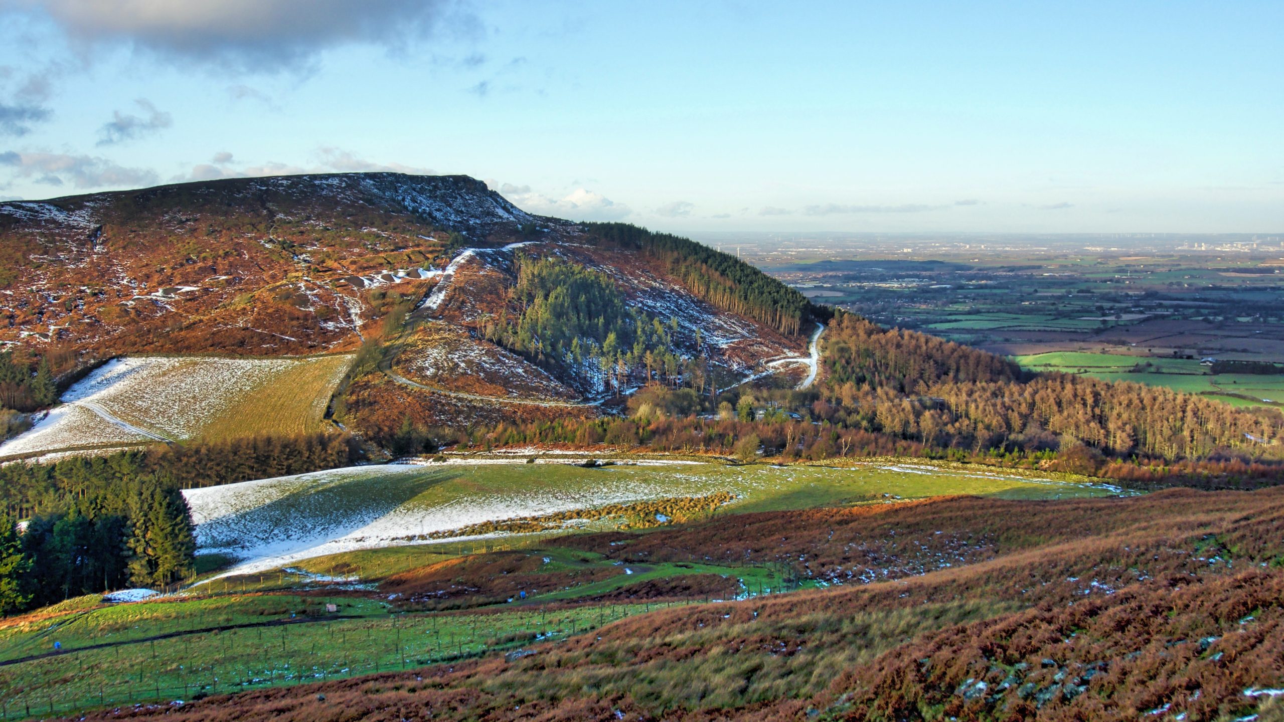
White Hill and Haggs Gate
Or perhaps better known nowadays as Hasty Bank and Clay Bank Top. Clay Bank Top is one of several low points along the Cleveland escarpment formed water overflowed from small meltwater lakes trapped between the scarp and the glacier covering the Cleveland plain and the Vale of Mowbray. Water flowed down Bilsdale and Ryedale into…
-
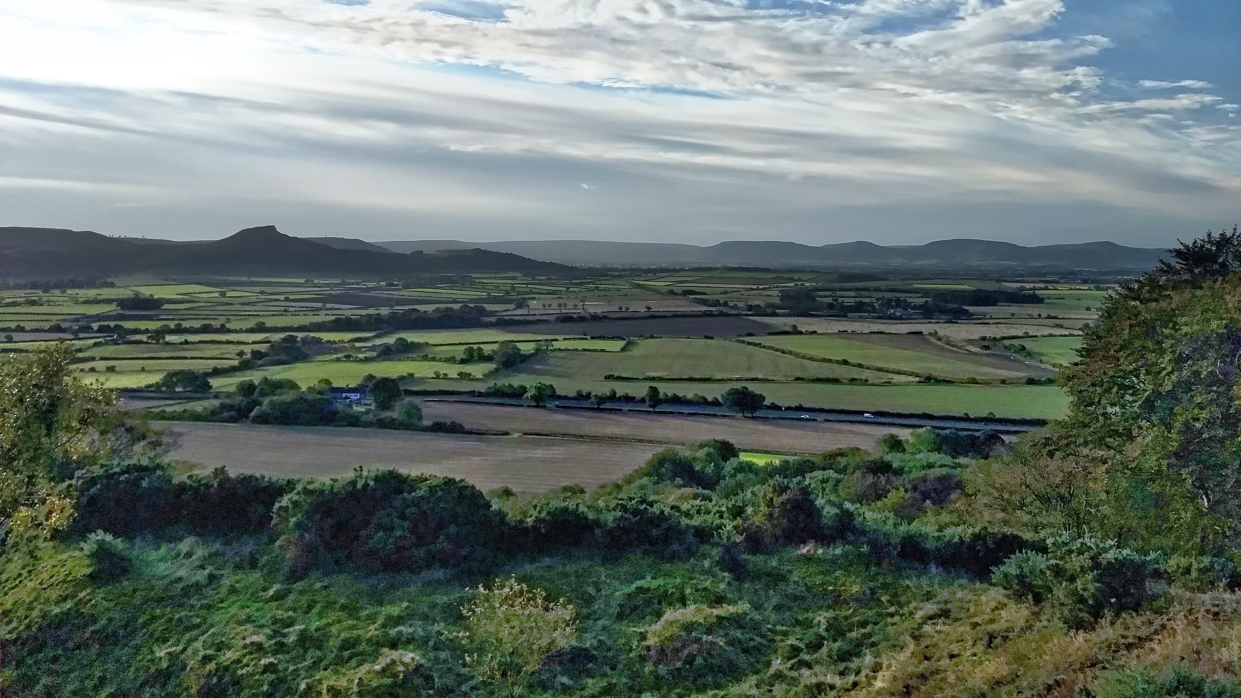
The Carrs
An uncommon view of Roseberry across the flatlands of Moreton Carr and Upsall Carr but one that would be easily recognised by commuters on the A171 Guisborough By-Pass. The ‘Carr’ element of these names comes from the Old Scandanavian word kjarr meaning a marshy area, giving an insight into the terrain in medieval Cleveland. Open…
-
The Cleveland Hills
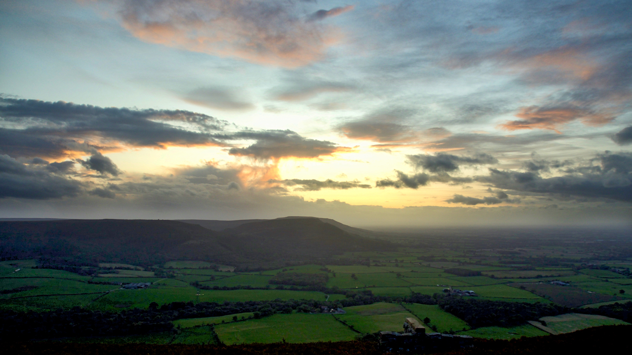
Up onto Greenhow Bank to catch the sunset only to find it fizzled out when the sun dropped behind a low bank of cloud. But still enough light reflecting off higher-level clouds. A view to the Cleveland Hills across the fields of Greenhow Botton. Open Space Web-Map builder Code
-
Carlton Bank
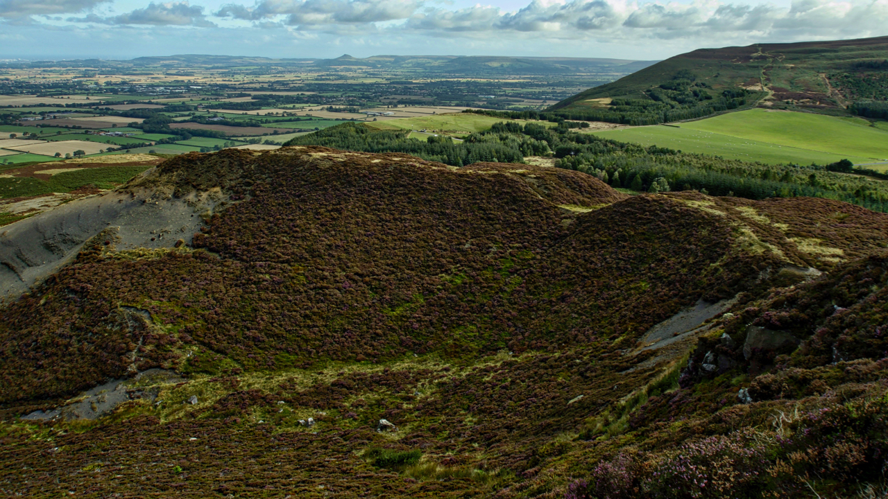
It is hard to imagine that 150 years ago this would have been a scene of intense industrial activity. For over a century there had been quarrying of the Jurassic shales needed in the production of alum crystals for use as a mordant in the dyeing of textiles and as a tanning curing agent. Alum…
-
Airy Holme
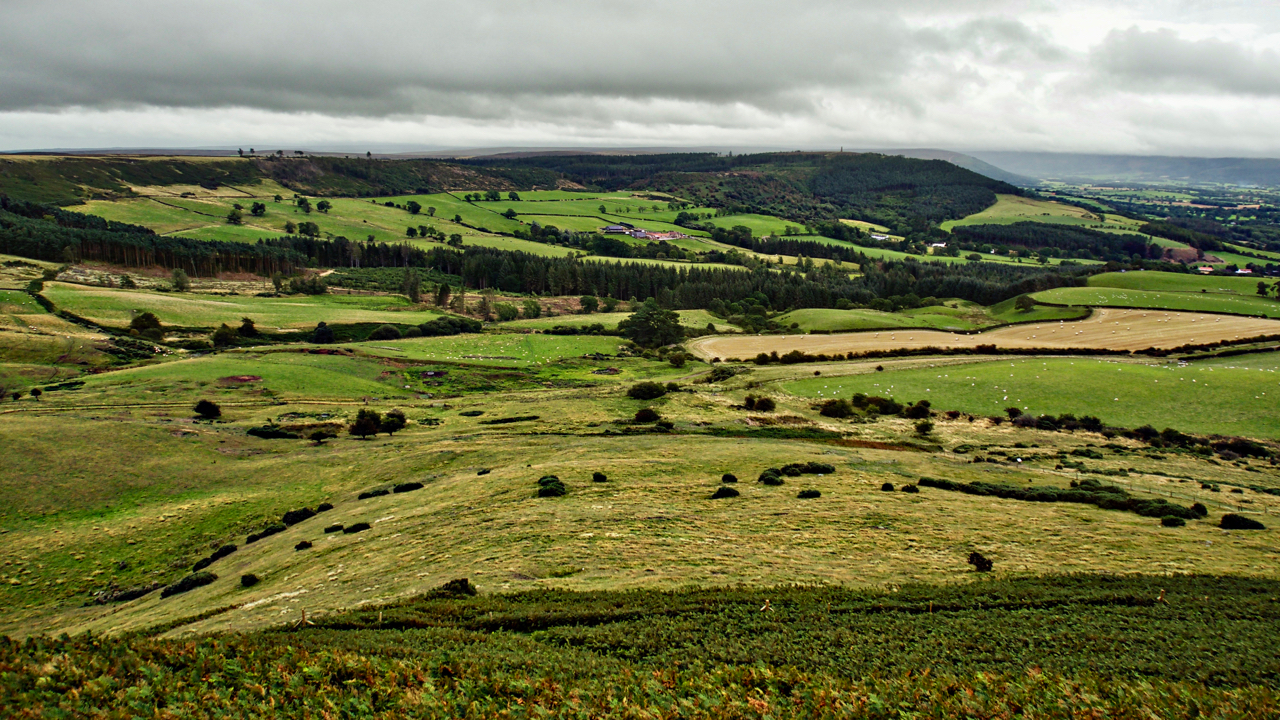
A view from Roseberry Topping to Capt. Cook’s Monument across the great bowl of Airy Holme, Slacks Wood and Ayton Bank, just before a tremendous downpour. The National Trust boundary of Roseberry is the fence line in the foreground just before the bracken limit. Aireyholme Lane can just be made out crossing left to right.…
-
Garfit Gap
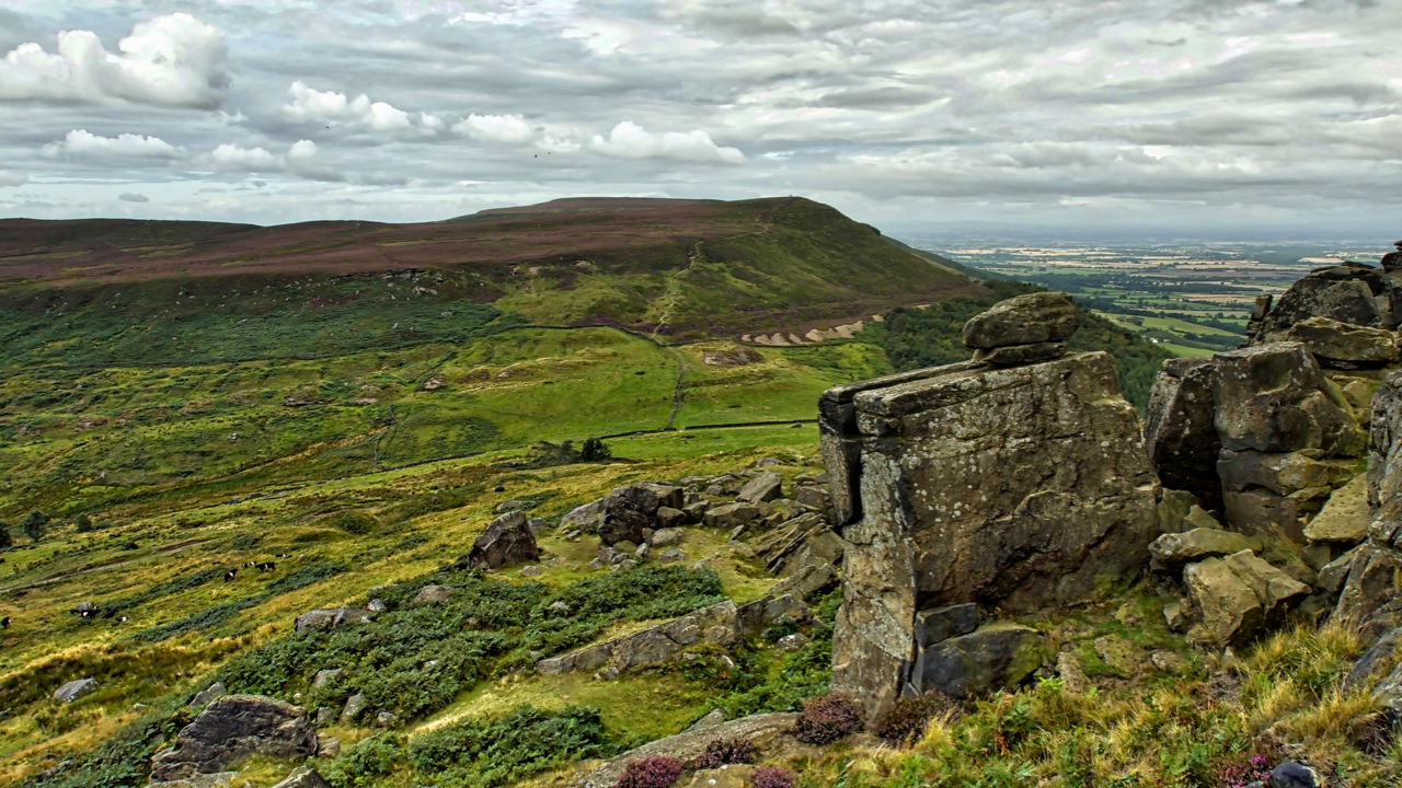
Popped up Hasty Bank and Cold Moor for an amble around. A pleasant morning, loads of walkers on the Cleveland Way. This is Garfit Buttress, the south-western end of the outcrop of sandstone crags known as the Wainstones. Overlooking Garfit Gap towards Cold Moor. A view I’ve looked at many times, yet fresh every time.…
-
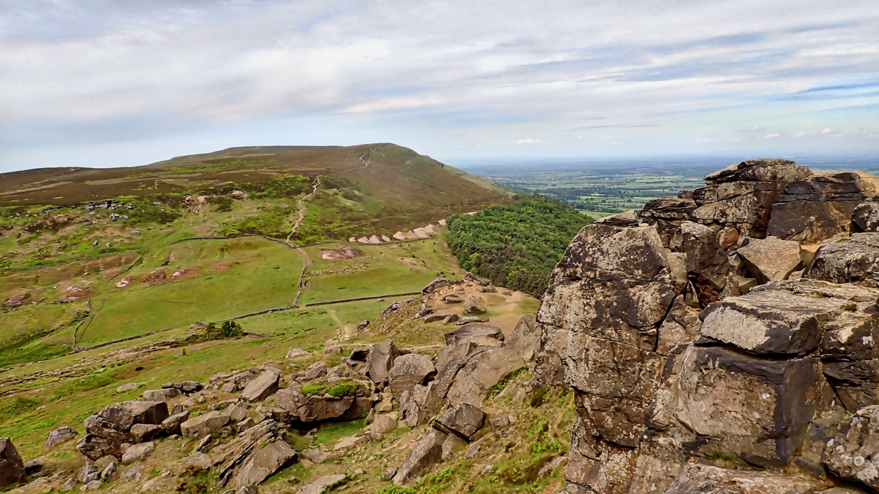
Cold Moor from The Wainstones
One of my main sources of knowledge and inspiration is Frank Elgee’s 1912 book The Moorlands of North Eastern Yorkshire. Elgee was born in 1880 and was a distinguished writer of the geology, archaeology and natural history of the North York Moors. Largely self-taught, he was the curator of the Dorman Museum in Middlesbrough from…
-
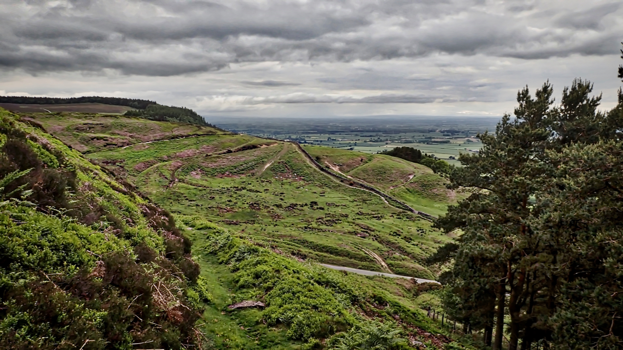
Scarth Nick
A very dull, overcast evening yet peaceful, not a sound to be heard. I took this photo looking back to Scarth Nick during the steep climb of Whorlton Moor. An old track leads down from a sandstone quarry now lost in the plantation of Clain Wood. A great notch in the Cleveland Hills, Scarth Nick…