Category: Cleveland Hills
-
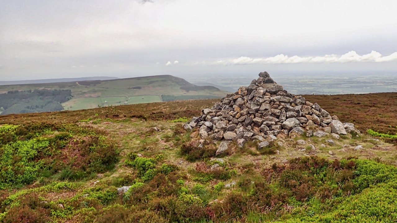
Drake Howe
At 435m Cringle Moor, or Cranimoor as Frank Elgee that local archaeologist, geologist and naturalist would have it, is the third highest hill in the North York Moors. Drake Howe adorns the summit. A large Early Bronze Age bowl barrow or burial mound, making it over 3,500 years old. Elgee suggests that the name Drake…
-
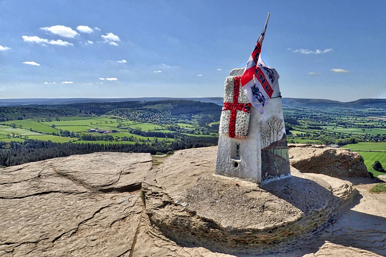
50 years ago today the Cleveland Way was officially opened …
50 years ago today the Cleveland Way was officially opened to become the second National Trail in England and Wales after the Pennine Way. Starting from Helmsley the route covers a distance of 109 miles along the edge of the Cleveland Hills to Saltburn before heading south along the coast to Filey. So happy birthday,…
-
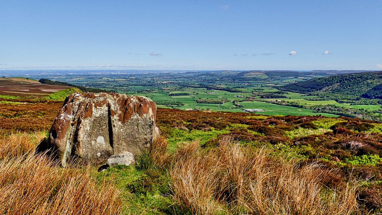
Greenhow Botton
That deep embayment at their western extremity, Greenhow Botton, around which the moors attain their greatest elevation of nearly 1500 feet, is perhaps the most remarkable feature of the hills. The Botton lies almost a mile to the south of the line of the main range of uplands and has remarkably steep and precipitous sides…
-
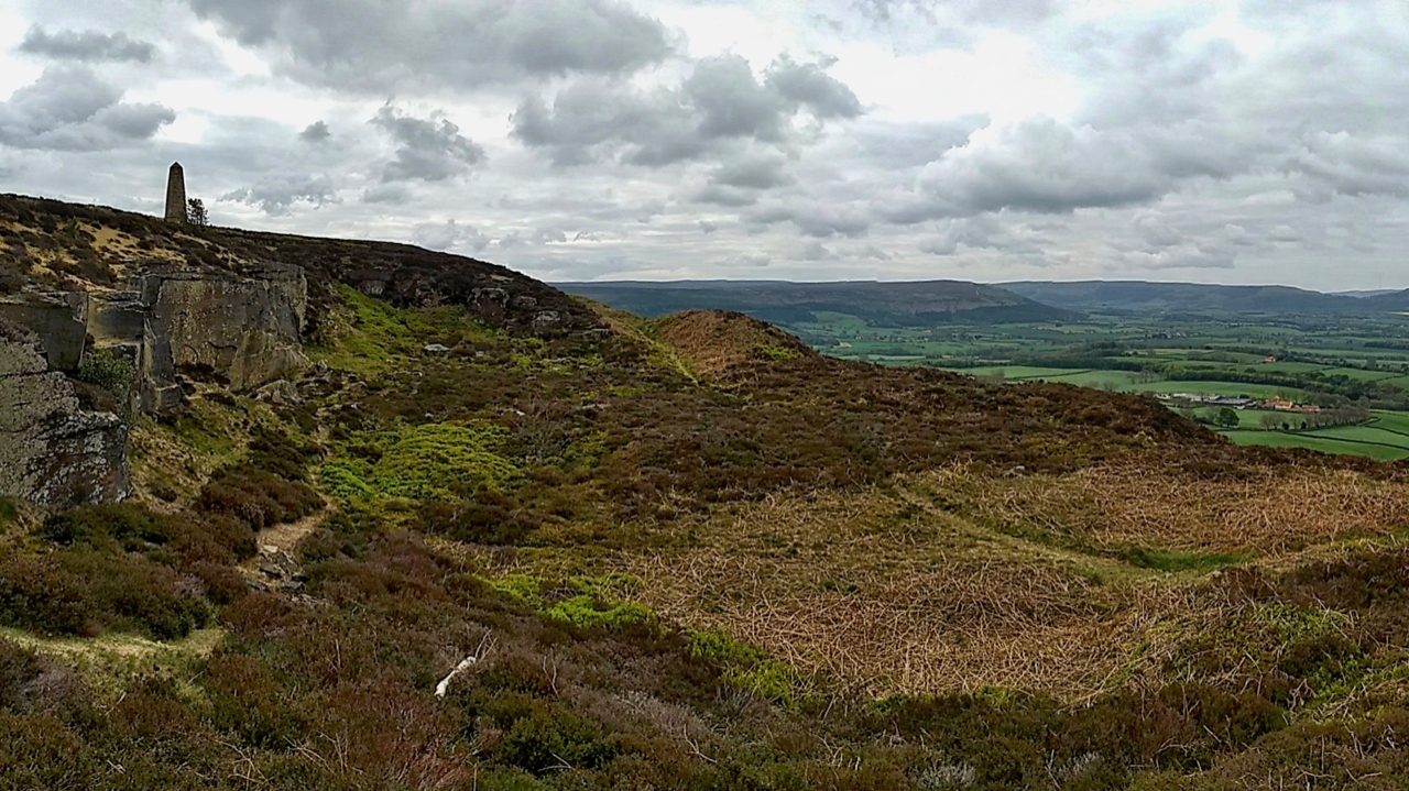
Disused sandstone quarry, Easby Bank
I heard somewhere that there is evidence of twelve sandstone quarries along the escapement between Capt. Cook’s Monument and Roseberry Topping. The stone gained from these quarries would have been used for buildings in villages and farms down in the vale of Cleveland and for the miles of drystone walls that divide the moors. This…
-
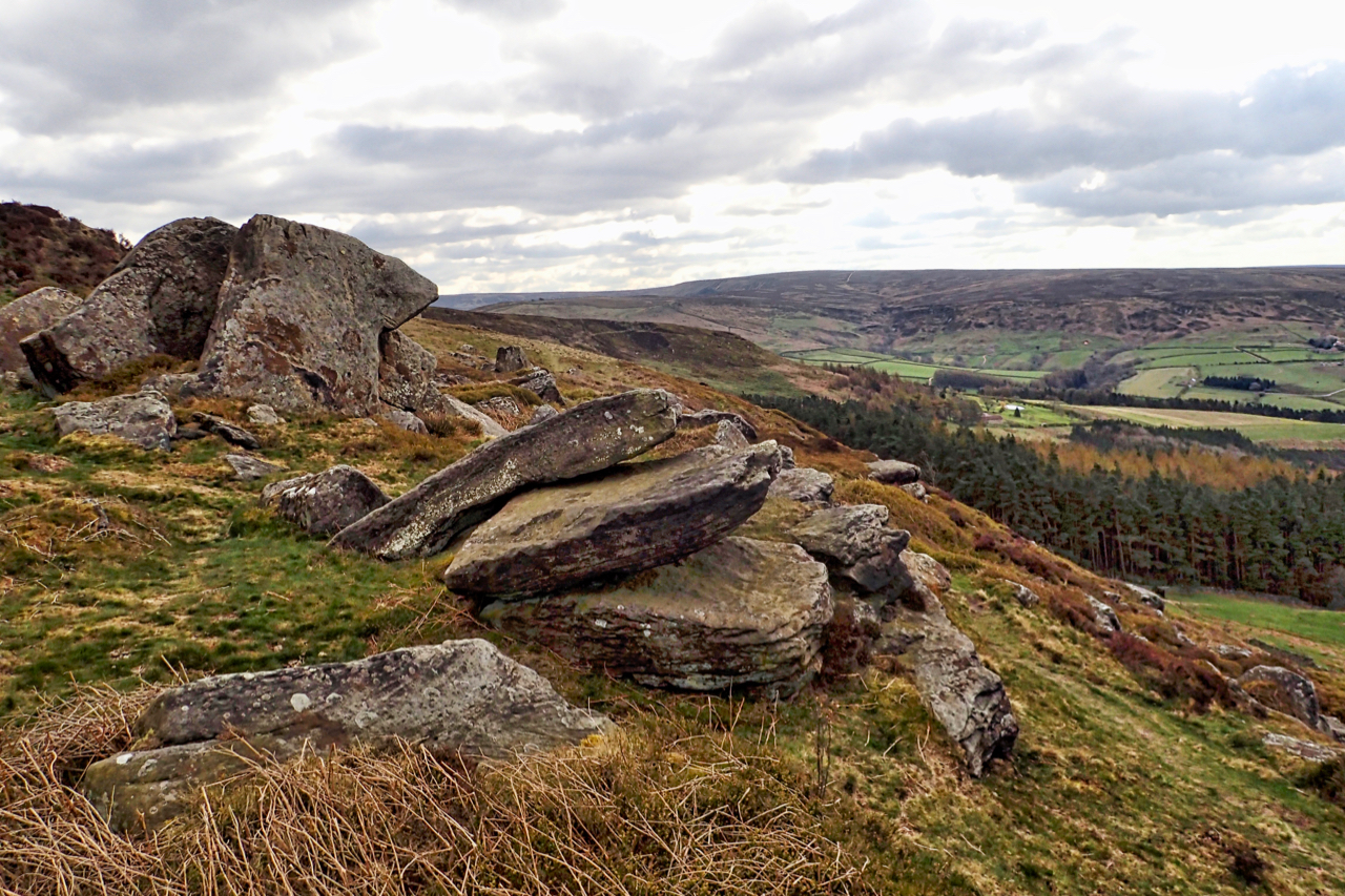
The Elephant Stone
Some wit referred to this as the Elephant Stone. I don’t know if that’s an “official” name but to me, it’s a complete misnomer. It looks nothing like an elephant and that is in spite of a strategically placed climbing hold as an eye, and some carved voracious teeth. Teeth, on an elephant! It can…
-
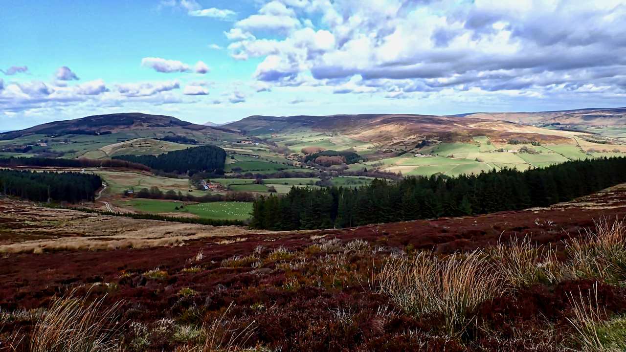
Back of the Cleveland Hills
“What is this life if, full of care, We have no time to stand and stare.” So wrote the Welsh poet W. H. Davies. I didn’t have much time to stand and stare today. Too much of a hurry. The Bilsdale Fell Race for me but managed to snatch this snap towards the end. It’s…
-
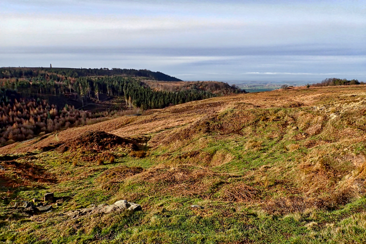
Gribdale Gate
I have never really understood where Gribdale is. The oldest Ordnance Survey map marks Gribdale Gate as the col between Little Ayton and Great Ayton Moors. There is a Gribdale Plantation but apart from that, there is no other mention of the name, and there is no resemblance of a dale on the Great Ayton…
-
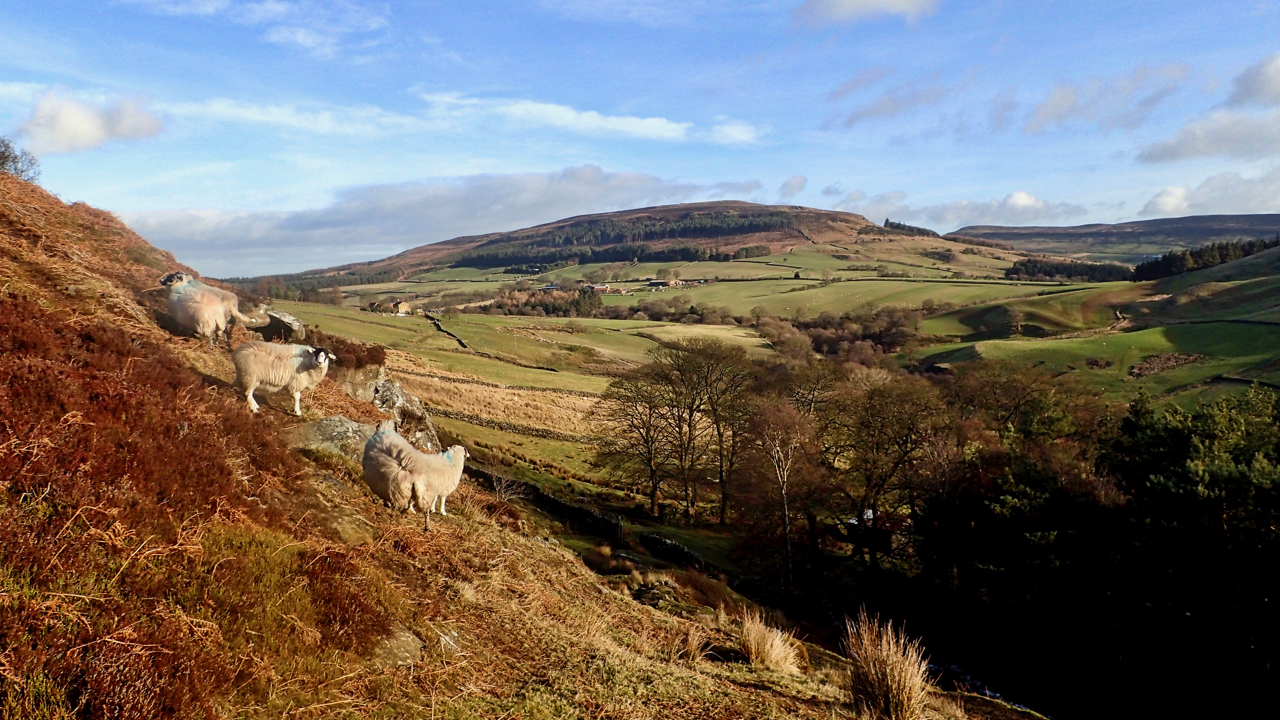
Back of Cringley
Or Cringle Moor to give it its modern name. I prefer the old although an even earlier name was Cranimoor. A little-used path from the ruined farmstead of Clough up to Brian’s pond on Bilsdale Moor West. The stone from the buildings was used in the construction of Chop Gate village hall. A fate not…
-
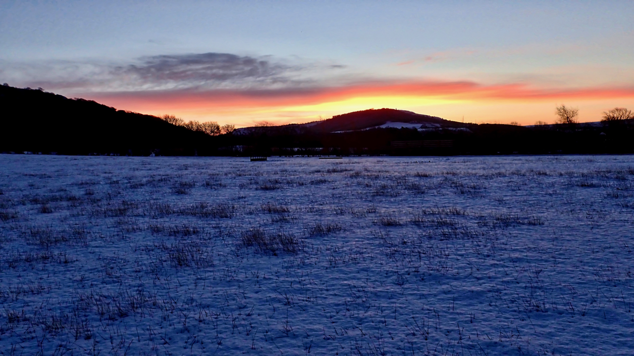
Sunrise Over Capt. Cook’s
Inside all day gazing longingly over the sunny snow-covered Cleveland Hills. So an early run with the dog, no headtorch needed, and a lovely red sky to finish. Open Space Web-Map builder Code
-
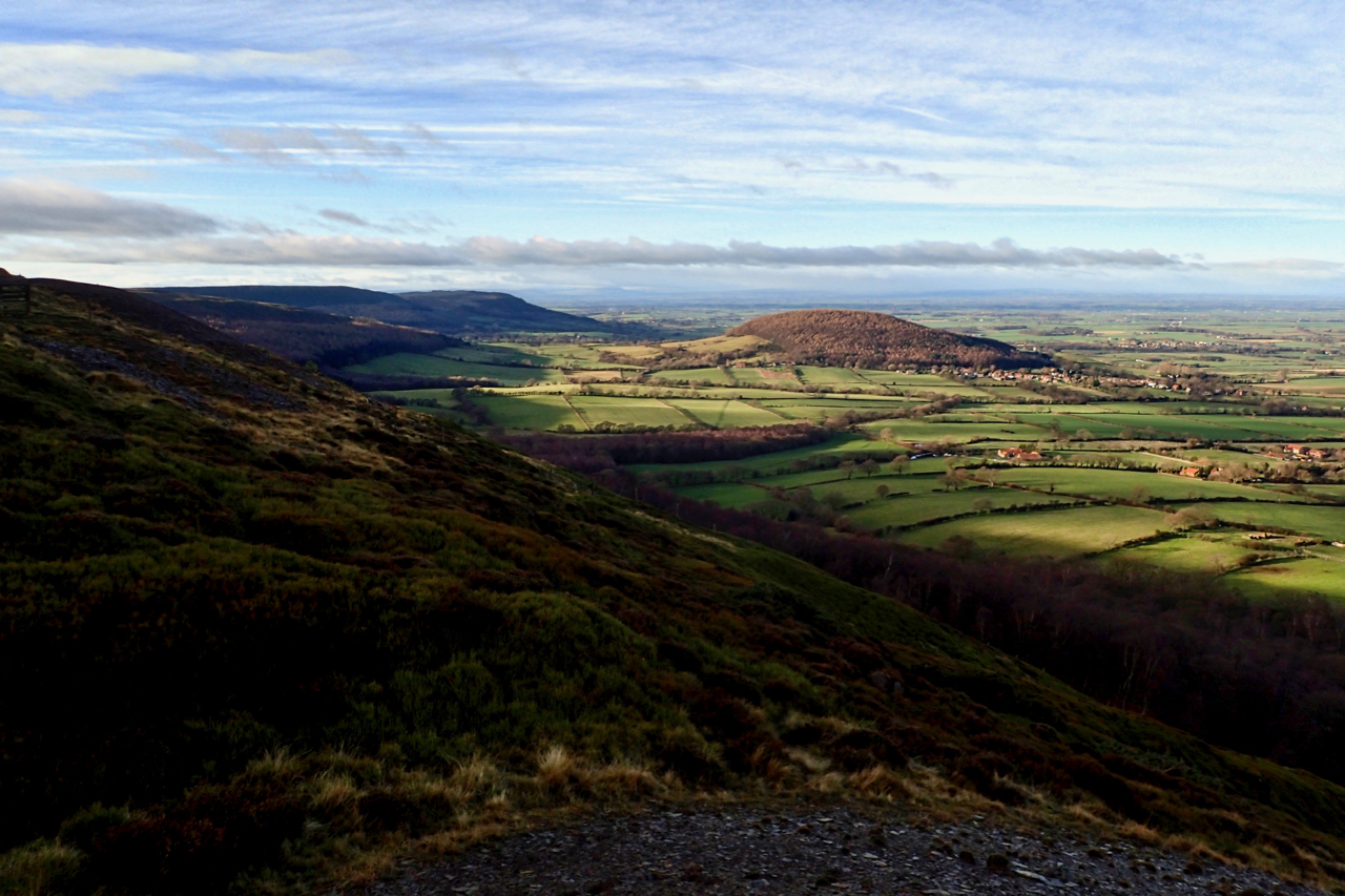
Burns Night
Cleveland is a land of glacial outliers. Roseberry Topping, Freeborough Hill, Blakey Topping and, of course, Whorl Hill. Apparently, at a mere 237m high, it is the 2226th tallest hill in England, which I must admit I do find hard to believe. To the right of the hill are the ruins of Whorlton Castle which…