Tag: rigg
-
Crown End, Westerdale
The rigg separating Westerdale and Baysdale is mapped as Crown Head. That’s it on the right, rising to 236 metres (774 feet) at its highest point. Baysdale is the nearer valley, Westerdale straight ahead. Crown Head is best known as a site of pre-historic remains, representing activity between the Bronze Age and late Iron Age.…
-
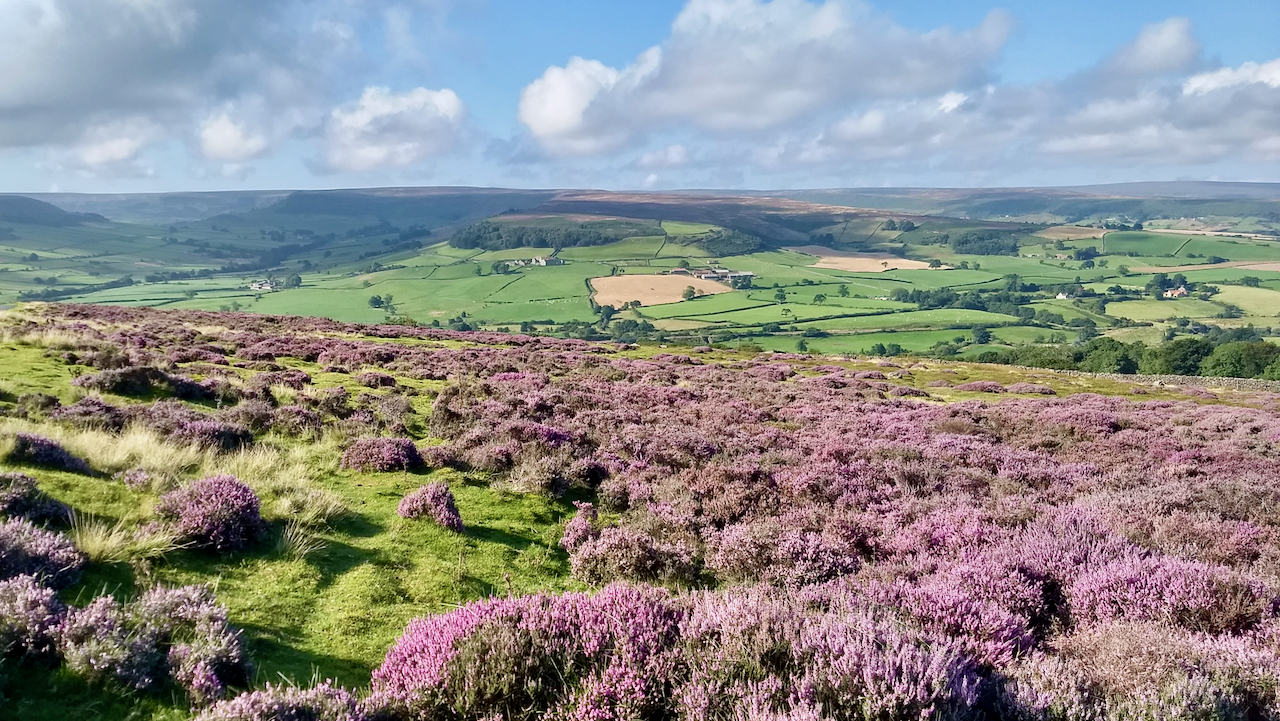
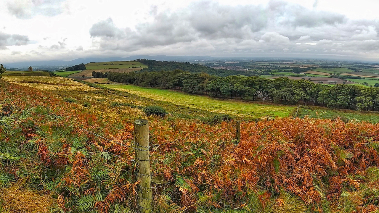
Danby Rigg, flanked by Little Fryup Dale and Danby Dale
The sunshine made a refreshing change from the low cloud and mizzle of the last few days. This is taken on the descent from Danby Beacon looking due south. Just left of centre is Danby Castle, a partially ruined 14th-century pile built by the Latimer family, now part of a working farm with Court Leet…
-
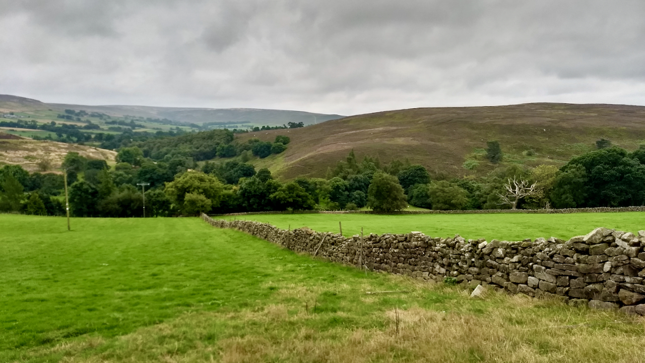
Percy Rigg Farm
In 1806, Sir Charles Turner of Kirkleatham had a cash flow problem and was forced to sell his Kildale and Westerdale Estates. His family had owned them since 1662 when they were brought from the Earl of Northumberland, who would have been Algernon Percy, the 10th Earl. The Sale Advertisement exists and makes interesting reading.…
-
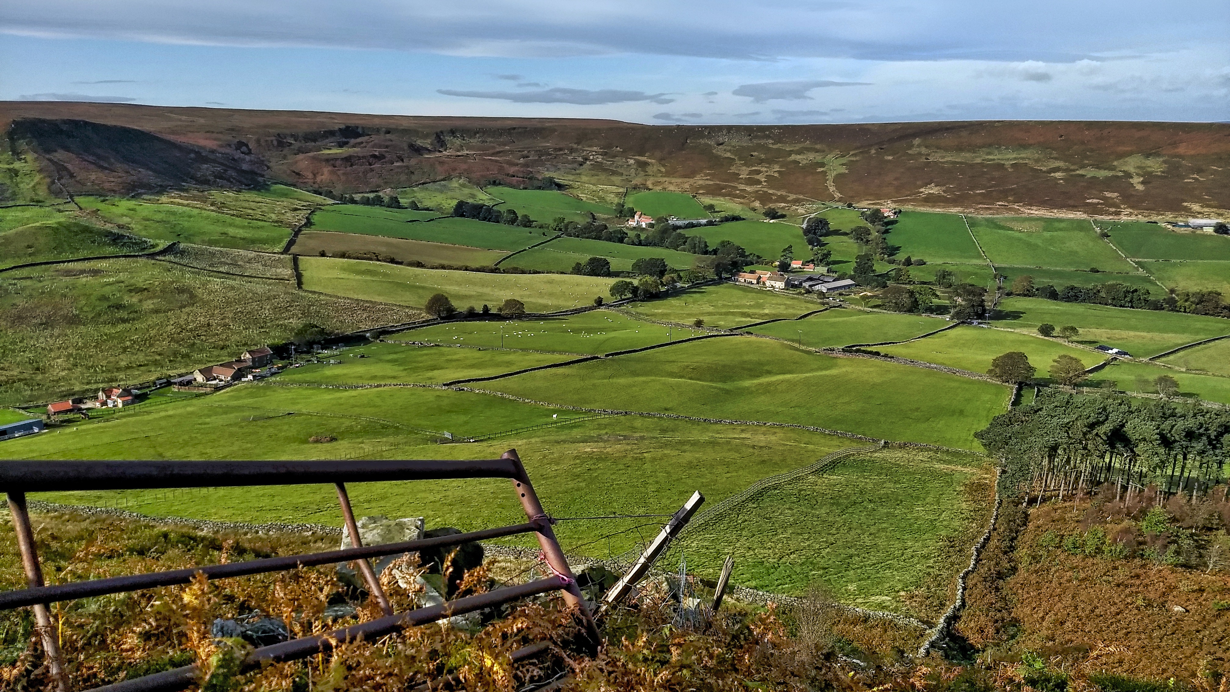
Little Fryup Dale
It’s been a few months since I’ve been up on the Heads, that elongated hill separating the two Fryup Dales. This is the head of the smaller dale. The buildings on the far left are named on the map as Fairy Cross Plain. There are two cottages, one is relatively modern but the other has…
-
Cliff Rigg and Newton Wood
Explored a long-forgotten section of a Public Bridleway up Roseberry Topping that has recently been cleared of bracken. It’s just a wild guess but to me, the route points to an early tourist route up to the summit. I’ve posted about this before. It starts in Newton and goes up Roseberry Lane (or Wood Land…
-
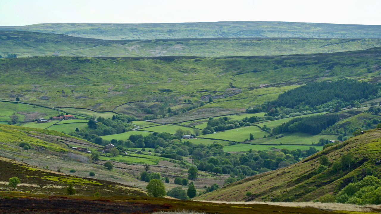
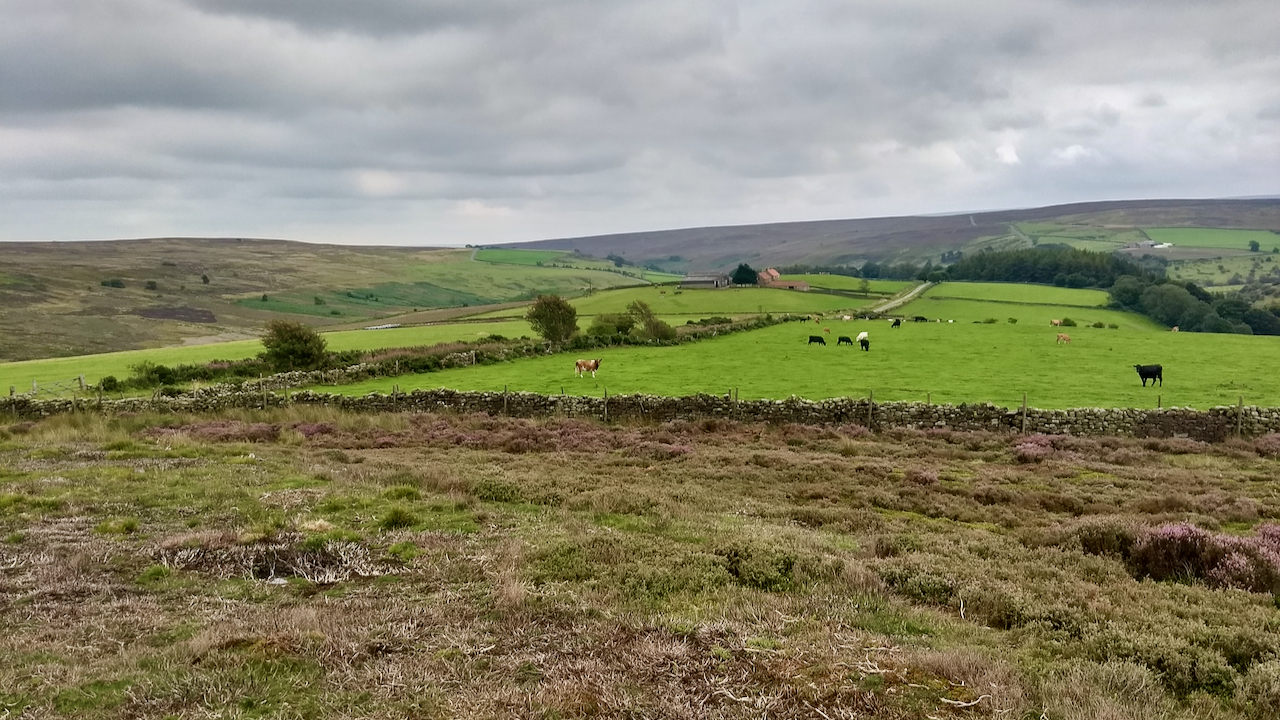
Stockdale
An offshoot of Westerdale penetrating deep into Baysdale Moor. Castleton and Danby Riggs in the distance. At the foot of the dale was the medieval hamlet of Braithwaite, signifying an area cleared of woodland. Today, there are just a handful of scattered farms, Leath House, Hill House, Daleside Farm and, on the left, New House…